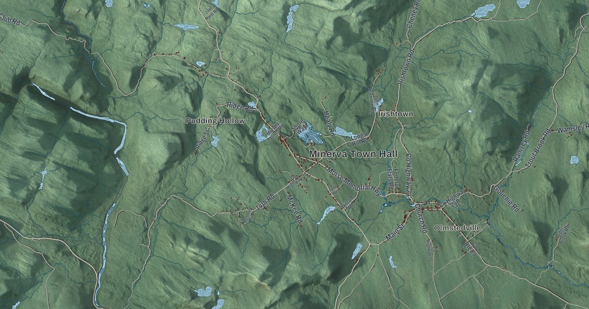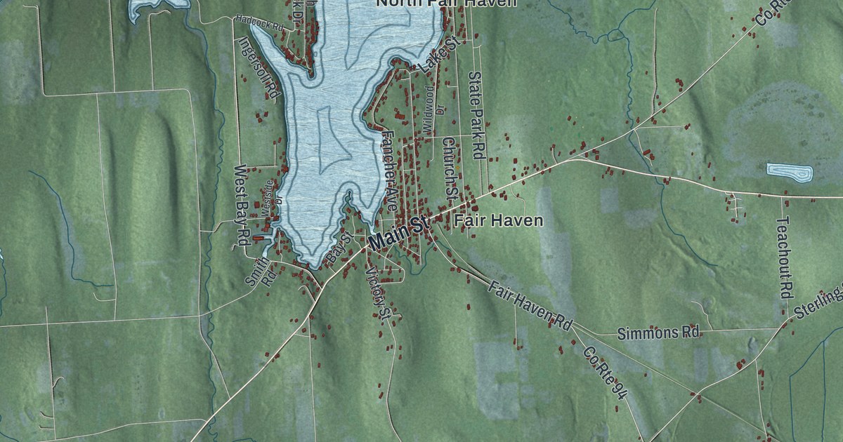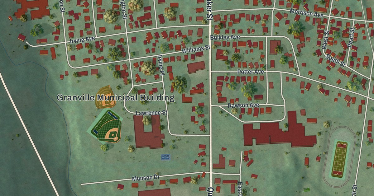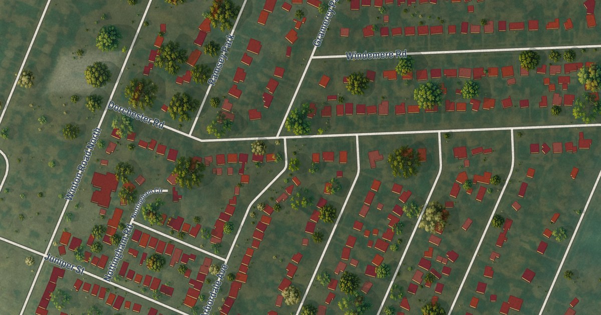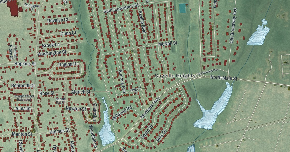
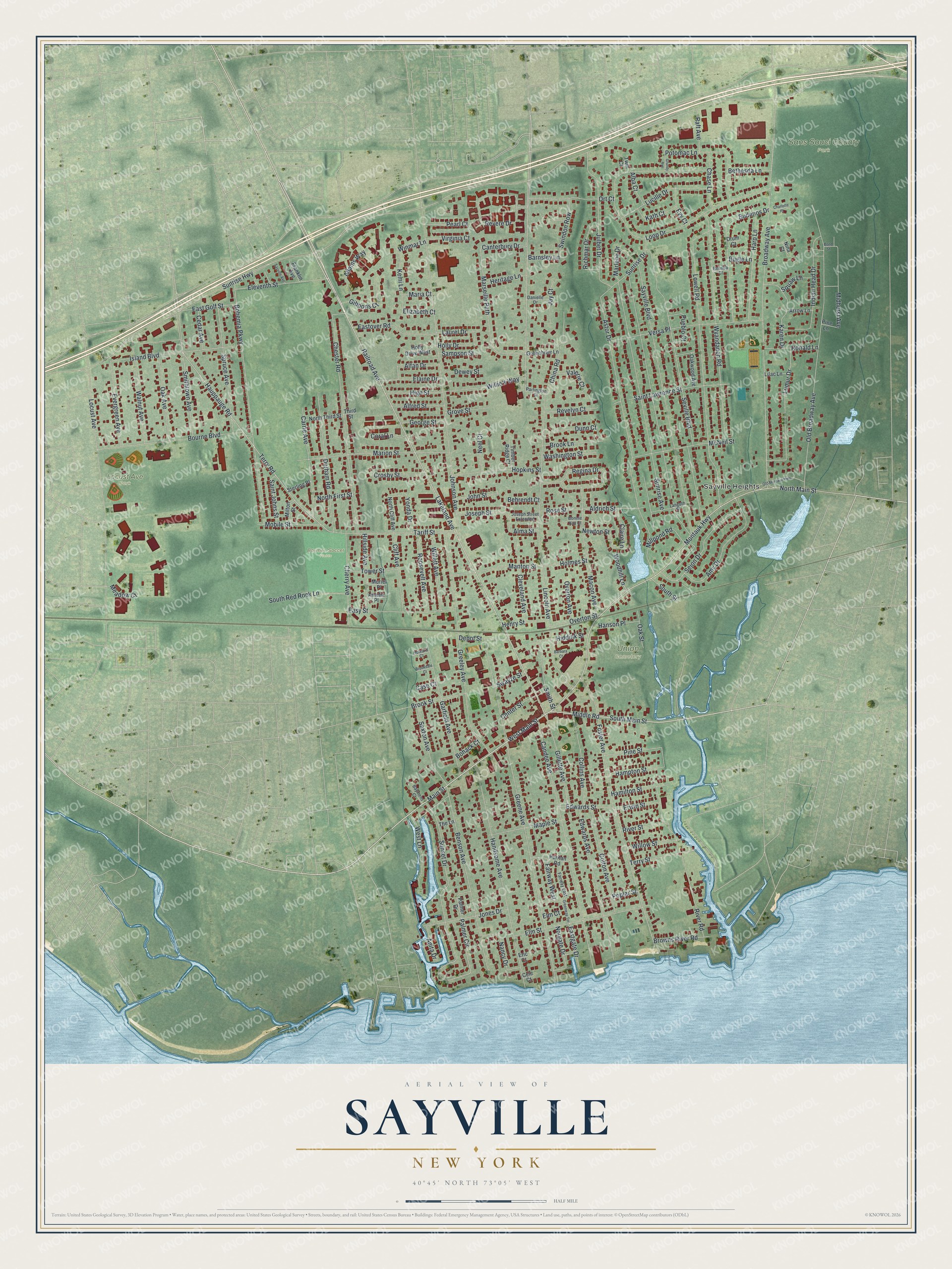
This beautifully detailed map of Sayville, New York was created in 2026 using aerial imagery combined with modern topographical, census, street and landmark data. It’s a one-of-a-kind view of Sayville that combines accurate data with a vintage aesthetic. The map shows every building in its true location, many of the roads carry their names, and the shaded topographic relief shows the shape of the land.
Explore an aerial view of Sayville, New York
On the map you’ll find Sayville Heights, Locust Ave Park, Sans Souci County Park, and Union Cemetery, along with Main Street, Lakeland Avenue, Railroad Avenue, Lincoln Avenue, Montauk Highway, and more. If you look closely you can even find your house accurately drawn in its correct location. Zoom in on the preview to look for yours.
Did You Know?
John Edwards of East Hampton built the first house in Sayville in 1761. In 1838 residents met to name their post office. Edwardsville and Greensville tied, so someone proposed Seaville. The name reached Washington spelled Sayville. The Postmaster General refused to change it, since the world had many Seavilles and no Sayvilles.
Take a closer look at the Sayville map
Names on this map
These names are printed on this map.
Places: Sayville Heights, Baymen Soccer Fields, Locust Ave Park, Sans Souci County Park and Union Cemetery.
Streets and roads: Main Street, South Main Street, Lakeland Avenue, Railroad Avenue, West Main Street, Lincoln Avenue, Montauk Highway, North Main Street, Palmer Circle, Sunrise Highway, Broadway Avenue, Johnson Avenue.
More street names, A to Z
Adams Way, Alba Court, Aldrich Street, Alfan Drive, Alfred Street, Alma Street, Amelia Place, Amy Drive, Anita Drive, Arrow Lane, Astor Drive, Barbara Court, Barnsley Lane, Baymens Court, Behrendt Court, Belinda Court, Benson Avenue, Bethesda Lane, Bohack Court, Bohemia Parkway, Bond Street, Bonnie Kay Court, Bourne Boulevard, Brookdale Court, Brook Lane, Brook Street, Browns River Road, Budenos Drive, Bugle Lane, Candee Avenue, Canterbury Drive, Carrie Avenue, Case Court, Cedar Avenue, Cele Court, Center Street, Charlotte Place, Chase Lane, Cherry Avenue, Chester Road, China Road, Claire Lane, Cleveland Avenue, Cliff Avenue, Collins Avenue, Colton Avenue, Coral Lane, Crosby Street, Danielle Drive, Depot Street, Dewey Street, Drum Court, Dunn Court, Durham Road, Eastgate Drive, East Golf Street, Eastover Road, Easy Street, Edwards Avenue, Edwards Street, Elaine Drive, Eleventh Street, Elizabeth Court, Elm Court, Elm Street, Eric Court, Erwin Street, Evergreen Avenue, Evy Court, Fairway East, Fairway West, Foster Avenue, Franklin Avenue, Garfield Avenue, George Street, Gibbons Court, Gillette Avenue, Greeley Avenue, Greenbrier Lane, Greene Avenue, Greenway Terrace, Grove Street, Grundy Avenue, Hamilton Street, Hampton Street, Handsome Avenue, Hanson Place, Harp Lane, Hauppauge Road, Henry Street, Heritage Lane, Hiddink Street, High Street, Hillside Avenue, Holly Drive, Holly Drive West, Holmes Street, Hopkins Street, Howard Court, Indian Head Drive, Island Boulevard, Jay Court, John Street, Jones Drive, Joseph Street, Joseph Street Extended, Julbet Drive, Karen Drive, Kath Court, Kemi Lane, Languth Street, Laurel Drive, Lilac Lane, Locust Avenue, Loop Drive, Lowell Road, Lucille Drive, Lumur Drive, Macon Avenue, Manton Street, Maple Street, Maria Court, Marion Street, Marlene Drive, Marseille Path, McNeil Street, Meadow Court, Middle Road, Midhurst Avenue, Millpond Road, Milton Street, Mobile Street, Muriel Place, Nancy Drive, Neel Court, Newton Street, Nina Court, Norgate Drive, North Cliff Avenue, North First Street, North Third Street, Oak Avenue, Oak Street, Oakwood Avenue, Old Broadway Avenue, Old Montauk Highway, Ort Court, Overton Avenue, Overton Street, Palmer Drive, Partington Street, Pearl Court, Pine Lane, Pine Street, Poplar Street, Potomac Lane, Pueblo Court, Puritan Road, Raft Avenue, Regina Drive, Revelyn Court, Revere Drive, Richmar Drive, River Road, River Street, Ronald Lane, Roosevelt Avenue, Rose Street, Saint Johns Street, Saint Lawrence Street, Sampson Street, Saxton Avenue, Sayville Avenue, Sayville Boulevard, Sejon Drive, Seville Boulevard, Smith Street, Smithtown Avenue, South Red Rock Lane, South Street, Spruce Avenue, Sterling Place, Sunrise Avenue, Sunrise Drive, Sunset Drive, Swayze Street, Swindon Row, Tariff Street, Terry Road, Terry Street, The Lane, Third Street, Timber Ridge Court, Tower Street, Twin Court, Valerie Court, Versa Place, Virginia Court, Walnut Avenue, Washington Street, West Lane, Willett Avenue, Willie's Way, Willow Street, Winmar Lane, Woodhill Lane, Wyandanch Road, Yonda Drive.
See it on a wall
The Sayville map as a framed print. Swipe for more.


This beautifully detailed map of Sayville makes an attractive addition to your office, library, or den, and it can even be used to teach children the geography and history of the area. It also makes a great gift for someone who left Sayville and still calls it home. When you’re done exploring, click here to get your copy of the Sayville map.