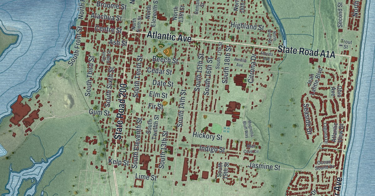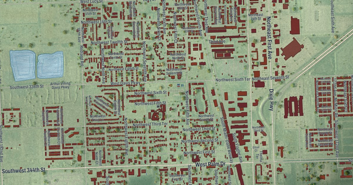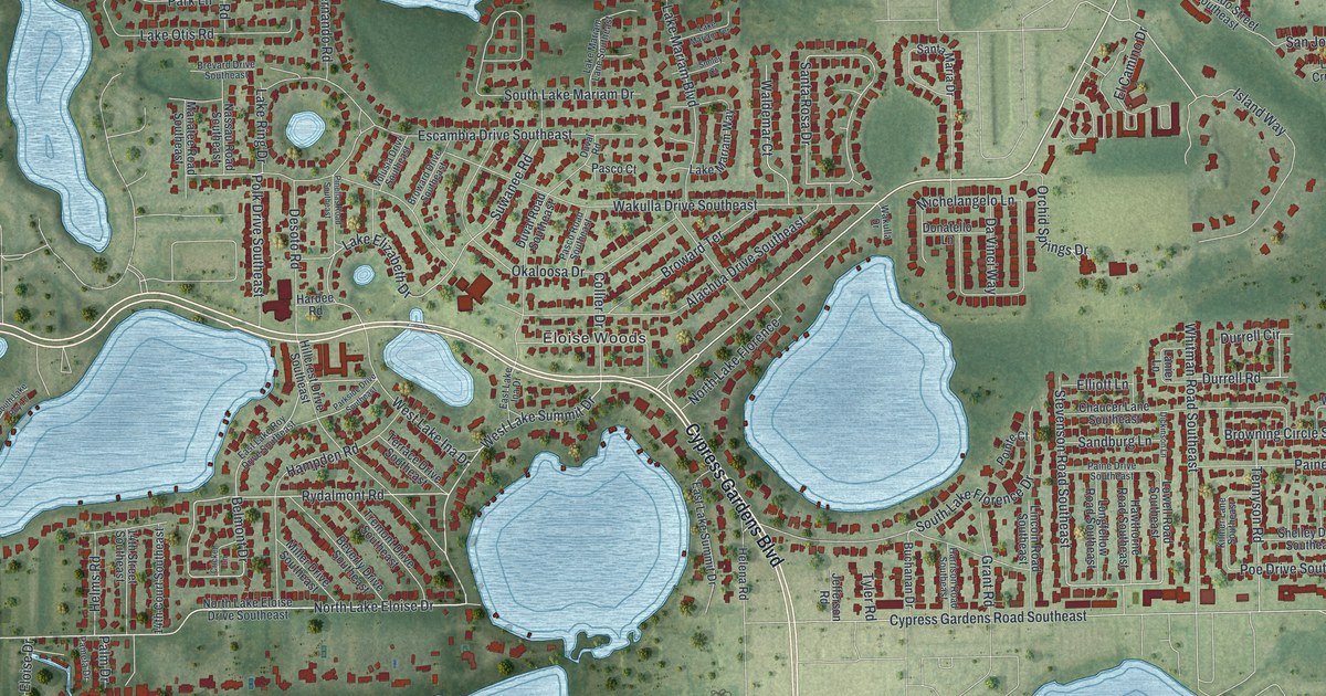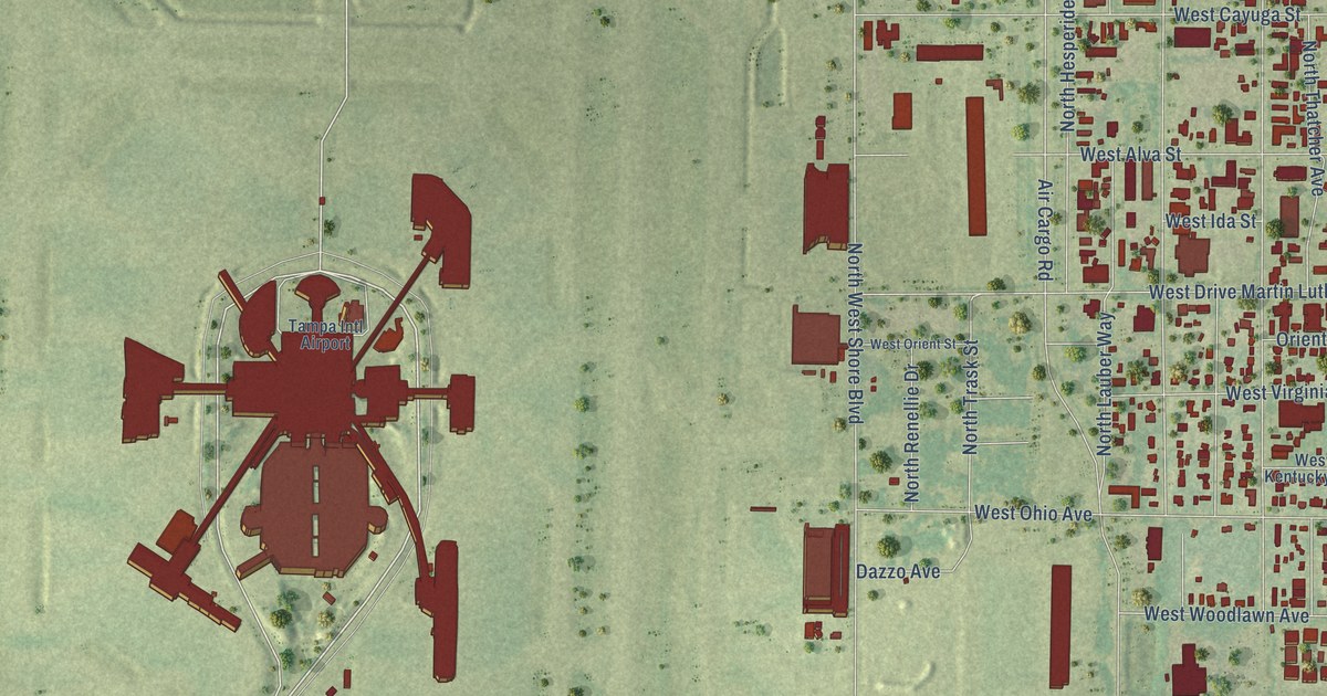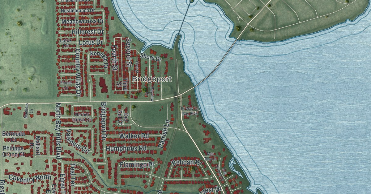
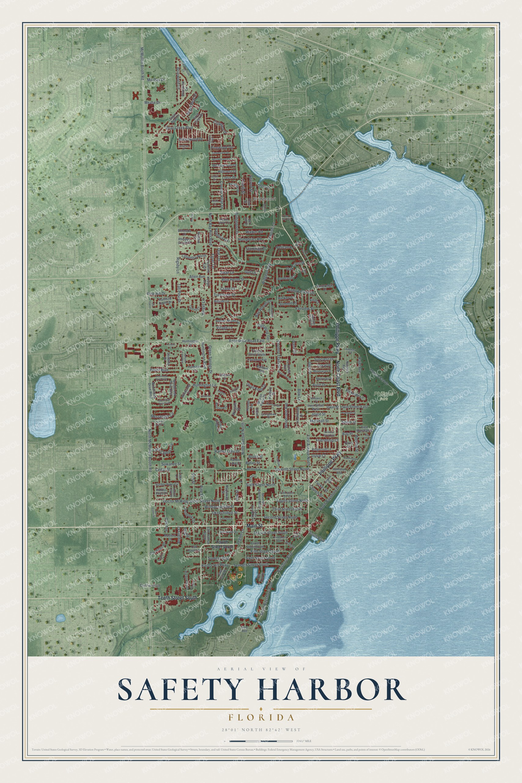
This beautifully detailed map of Safety Harbor, Florida was created in 2026 using aerial imagery combined with modern topographical, census, street and landmark data. It’s a one-of-a-kind view of Safety Harbor that combines accurate data with a vintage aesthetic. The map shows every building in its true location, many of the roads carry their names, and the shaded topographic relief shows the shape of the land.
Explore an aerial view of Safety Harbor, Florida
On the map you’ll find Bridgeport, Philippe Park, and Dellwood, along with Main Street, Phillippe Parkway, North Coast Boulevard, Tenth Street South, Third Street North, Okeechobee Street, Legion Lane, Bayshore Boulevard, South Bayshore Boulevard, and more. If you look closely you can even find your house accurately drawn in its correct location. Zoom in on the preview to look for yours.
Did You Know?
In 1539, Spanish explorer Hernando de Soto named the mineral spring here Espiritu Santo, or Springs of the Holy Spirit. In the 20th century, its water was bottled and sold, and a hotel and health spa were built over it. The U.S. Department of the Interior made the site a historical landmark in 1964.
Take a closer look at the Safety Harbor map
Names on this map
These names are printed on this map.
Places: Bridgeport, Philippe Park and Dellwood.
Streets and roads: Main Street, Phillippe Parkway, North Coast Boulevard, Tenth Street South, Third Street North, Okeechobee Street, Legion Lane, Bayshore Boulevard, South Bayshore Boulevard, Cedar Street, Pine Street, Second Street.
More street names, A to Z
13th Avenue South, Allen Avenue, Anglers Court, Arlie Avenue, Avon Drive, Baldwin Avenue, Bay Place, Bayview Drive, Bay View Street, Bay Woods Drive, Beacon Place Drive, Beechwood Drive, Bermuda Court, Birch Creek Drive, Bishop Creek Drive, Bishop Drive, Blue Heron Street, Booth Boulevard, Booth Street, Bow Lane, Briar Creek Boulevard, Briarwood Circle, Briarwood Lane, Bridgeport Drive, Butler Street, Channelside Court, Chatham Court, Cherokee Street, Chillum Court, Church Street, Clubview Drive, Cohn Lane, Coral Drive, Country Trails Drive, Country Villas Drive, Coventry East, Coventry North, Crane Drive, Creekside Court, Cypress Hollow Court, Dana Drive, Delaware Street, Del Oro Drive, Del Sol Court, Doctor Ml King Junior Street North, Dover Court, Duval Court, East Gate Drive, East Marshall Street, Egret Terrace, Eighth Avenue North, Elm Street, Enterprise Road East, Fairmont Avenue, Fairview Street, Fayette Drive South, Fernbooke Drive, Fernery Lane, Fifth Street North, Fifth Street South, First Avenue North, First Street, Flamingo Place, Forest Circle, Fourth Street, Fourth Street North, Fourth Street South, Friendship Court, Georgetown Place, Glen Drive, Glenn Lane, Governors Lane, Green Springs Drive, Gull Lane, Hamilton Avenue, Hampton Lane, Hampton Lane West, Hancock Court, Harbor Cove Street, Harbor Grove Circle, Harbor Hill Drive, Harbor Hill Parkway, Harbor Lake Court, Harbor Lake Drive, Harbor Oaks Circle, Harbor Point Place, Harbor Woods Circle, Harget Lane, Hickory Lane, Highland Woods Drive, Hillcrest Drive, Hillside Lane, Hi Way To Bay Boulevard, Hounds Run, Humphries Road, Huntington Boulevard, Huntington Lane, Huntington Place, Iron Age Street, Irwin Street, Irwin Street East, Irwin Street West, Joyce Street, Juniperus Drive, Kendale Drive, Kevlyn Court, Key Harbor Drive, Kingscote Court, Knollwood Drive, La Forest Avenue, Lake Cypress Drive, Lake Ridge Drive, Los Prados Drive, Lotus Circle, Lotus Drive, Mallard Drive, Mapleway Street, Mar Bay Lane, Marshall Street, Masters Lane, McMullen Booth Road, Meadowcross Drive, Meadowlark Drive, Mease Drive, Meldrum Street, Melrose Drive, Messenger Circle, Mil-Ray Drive, Muellers Lane, Natures Trail, Navarez Avenue, Nestlebranch Drive, Ninth Avenue North, North Bay Hills Boulevard, North Bayshore Drive, North McMullen Booth Road, Oak Avenue, Oak Crest Drive, Oak Haven Drive, Oak Ridge Road, Oak Street, Old Oak Lane, Packard Court, Palmetto Drive, Palm Place, Park Court, Parkside Lane, Park Street, Parrish Lane, Pelican Place, Philippe Grand Court, Philippe Park Drive, Pine Hill Drive, Pinellas Avenue, Pinewood Circle, Pinewood Terrace, Plymouth Street, Quail Keep Drive, Rainbow Farms Drive, Rajel Avenue, Ridgecroft Lane, Rigsby Lane, Roxbury Drive, Salem Street, Scott Street, Second Street North, Second Street South, Seedling Drive, Seventh Avenue North, Seventh Street North, Seventh Street South, Shore Drive, Signature Terrace, Sixth Street North, Sixth Street South, South Boulevard, Sugar Bear Court, Sugar Bear Drive, Summit Lane, Sumner Boulevard, Suncrest Drive, Suwanee Street, Swan Lane, Tall Pine Circle, Tall Pine Drive, Teal Terrace, Third Street, Third Street South, Timberview Drive, Tucker Street, Turnstone Drive, Valencia Circle, Villa Court, Village Lane, Virginia Avenue, Walker Road, Washington Drive, Wateredge Court, Water View Court, Westborough Lane, Westley Street, Wickford Street East, Widgeon Avenue, Willowick Circle, Windsong Court, Withlacoochee Street, Woodcreek Drive East, Woodcreek Drive North, Woodcreek Drive South, Woodcreek Drive West, Woodcrest Avenue, Woodland Court, Wyndam Way, Wyngate Court.
See it on a wall
The Safety Harbor map as a framed print. Swipe for more.


This beautifully detailed map of Safety Harbor makes an attractive addition to your office, library, or den, and it can even be used to teach children the geography and history of the area. It also makes a great gift for anyone with Safety Harbor roots. When you’re done exploring, click here to get your copy of the Safety Harbor map.