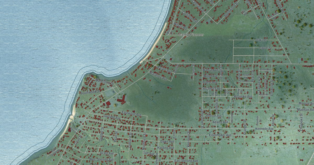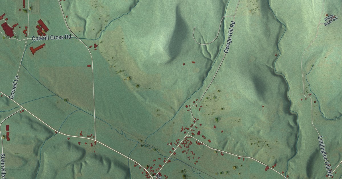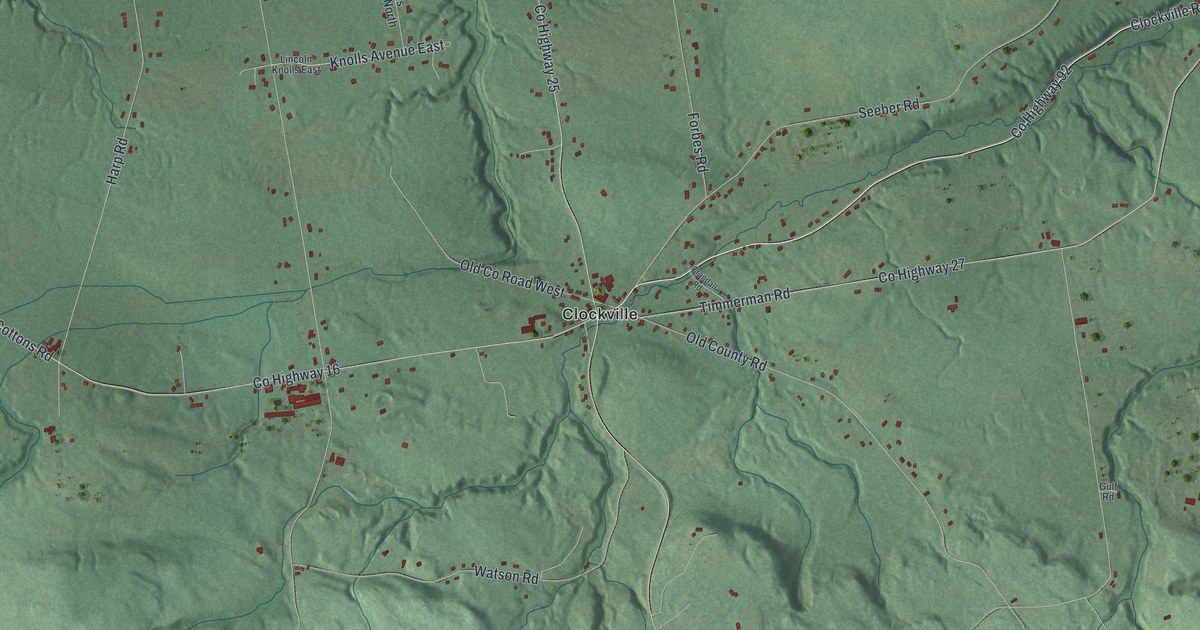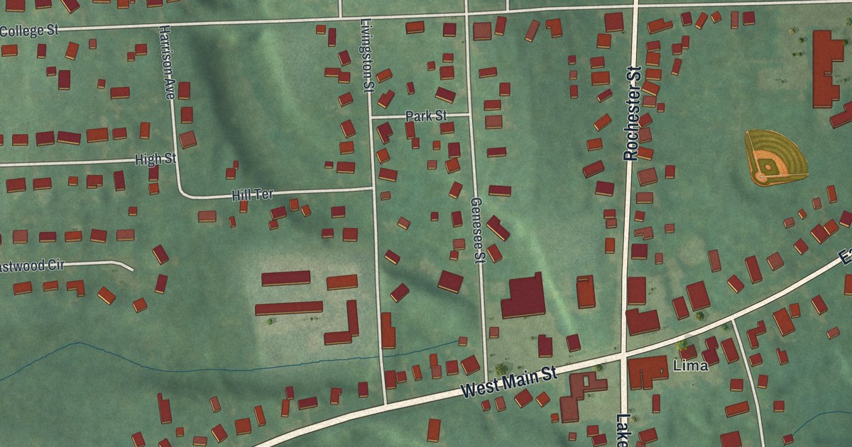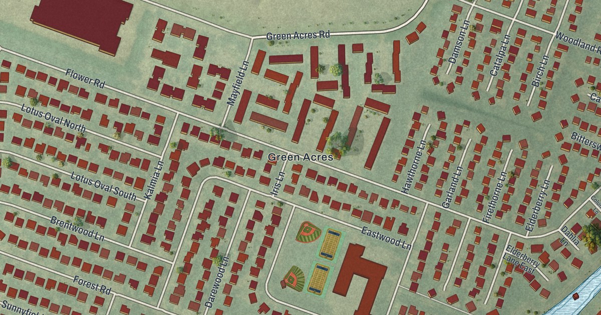
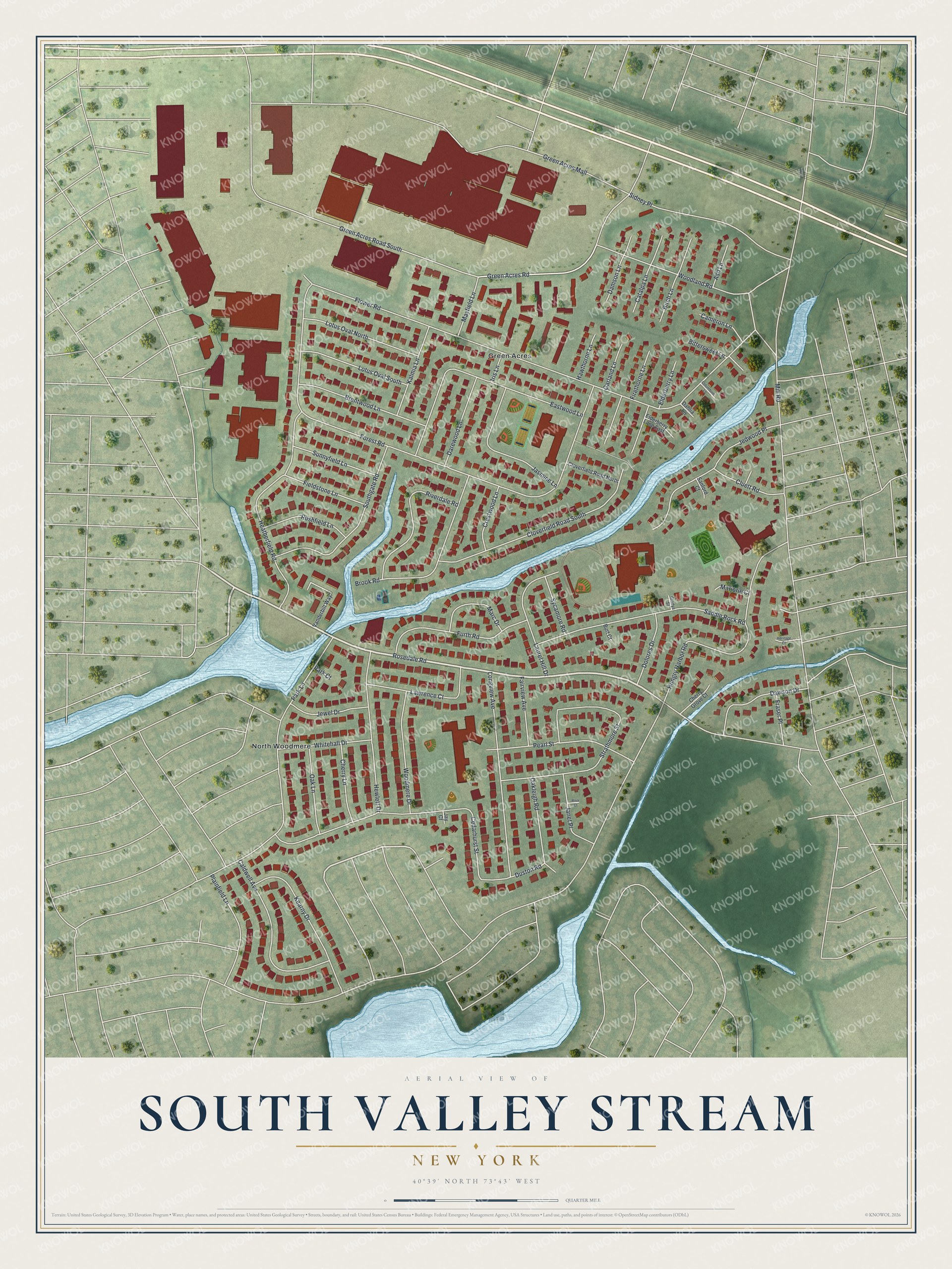
This beautifully detailed map of South Valley Stream, New York was created in 2026 using aerial imagery combined with modern topographical, census, street and landmark data. It’s a one-of-a-kind view of South Valley Stream that combines accurate data with a vintage aesthetic. The map shows every building in its true location, many of the roads carry their names, and the shaded topographic relief shows the shape of the land.
Explore an aerial view of South Valley Stream, New York
On the map you’ll find Green Acres and North Woodmere, along with Rosedale Road, Green Acres Road, Forest Road, Flower Road, Hungry Harbor Road, and more. If you look closely you can even find your house accurately drawn in its correct location. Zoom in on the preview to look for yours.
Take a closer look at the South Valley Stream map
Names on this map
These names are printed on this map.
Places: Green Acres and North Woodmere.
Streets and roads: Rosedale Road, Green Acres Road, Green Acres Road South, Forest Road, Flower Road, Hungry Harbor Road, Park Lane, Cedarhurst Street, Strathmore Street, Eastwood Lane, Heatherfield Road, Cloverfield Road South.
More street names, A to Z
Ash Lane, Birch Lane, Bittersweet Lane, Brentwood Lane, Brook Road, Burt Court, Caldwell Avenue, Cameron Lane, Catalpa Lane, Cherry Grove Court, Cherry Lane, Cloverfield Road North, Cluett Road, Columbine Lane, Crestwood Lane, Dahlia Lane, Damson Lane, Darewood Lane, Dawson Drive, Dolores Drive, Duston Road, Elderberry Lane, Elderberry Lane East, Fairview Avenue, Fieldstone Lane, Firethorne Lane, Fraser Place, Furth Road, Garland Lane, Gladys Street, Green Acres Mall, Hawthorne Lane, Heritage Court, Hewlett Drive, Iris Lane, Janet Place, Jasmine Lane, Jay Court, Jedwood Place, Jewel Drive, Kalmia Lane, Kearny Drive, Laurel Hill Drive, Lawrence Court, Longview Avenue, Lotus Oval North, Lotus Oval South, Marc Drive, Marjorie Court, Mayfield Lane, Mill Road, Oak Lane, Oakleigh Road, Park Court, Pearl Street, Plainfield Lane, Riva Court, Riverdale Road, Rushfield Lane, Saddle Rock Road, Sanford Court, Sidney Place, Southgate Road, Sunnyfield Lane, Sycamore Road, Vanderbilt Way, Whitehall Drive, Woodland Road, Woodmere Drive.
See it on a wall
The South Valley Stream map as a framed print. Swipe for more.


This beautifully detailed map of South Valley Stream makes an attractive addition to your office, library, or den, and it can even be used to teach children the geography and history of the area. It also makes a great gift for anyone who grew up in South Valley Stream or moved away. When you’re done exploring, click here to get your copy of the South Valley Stream map.