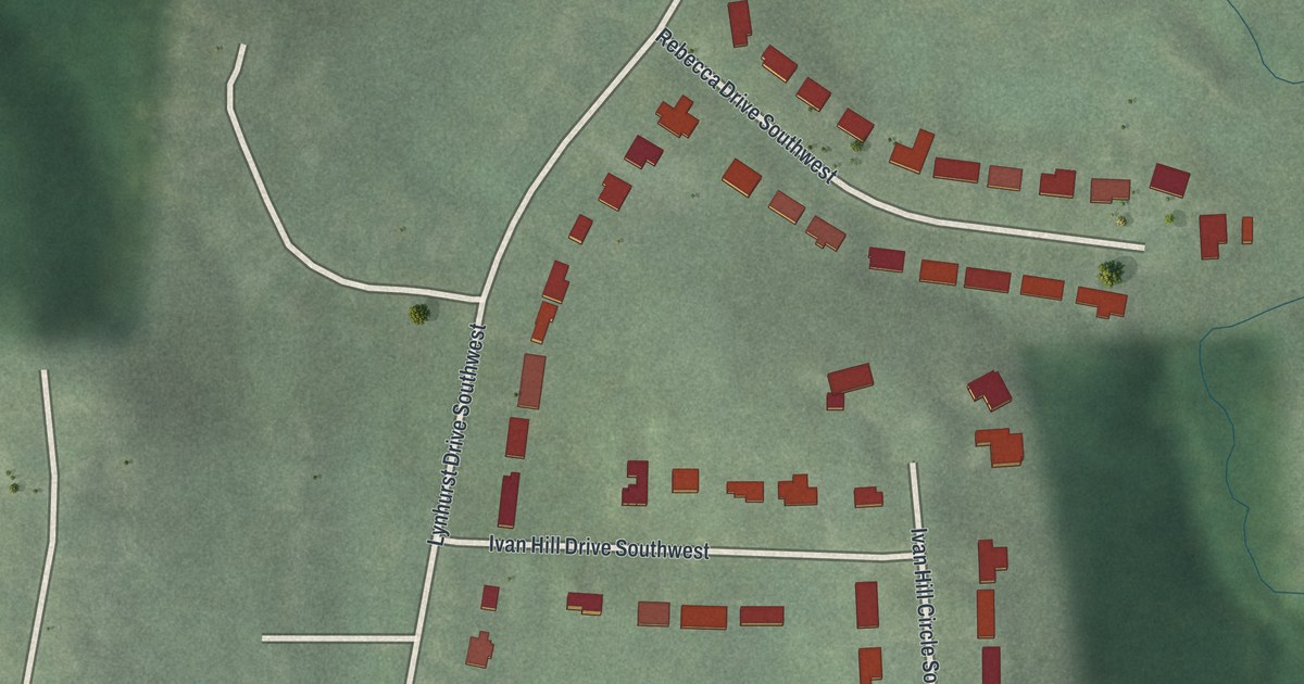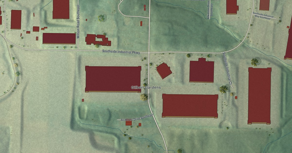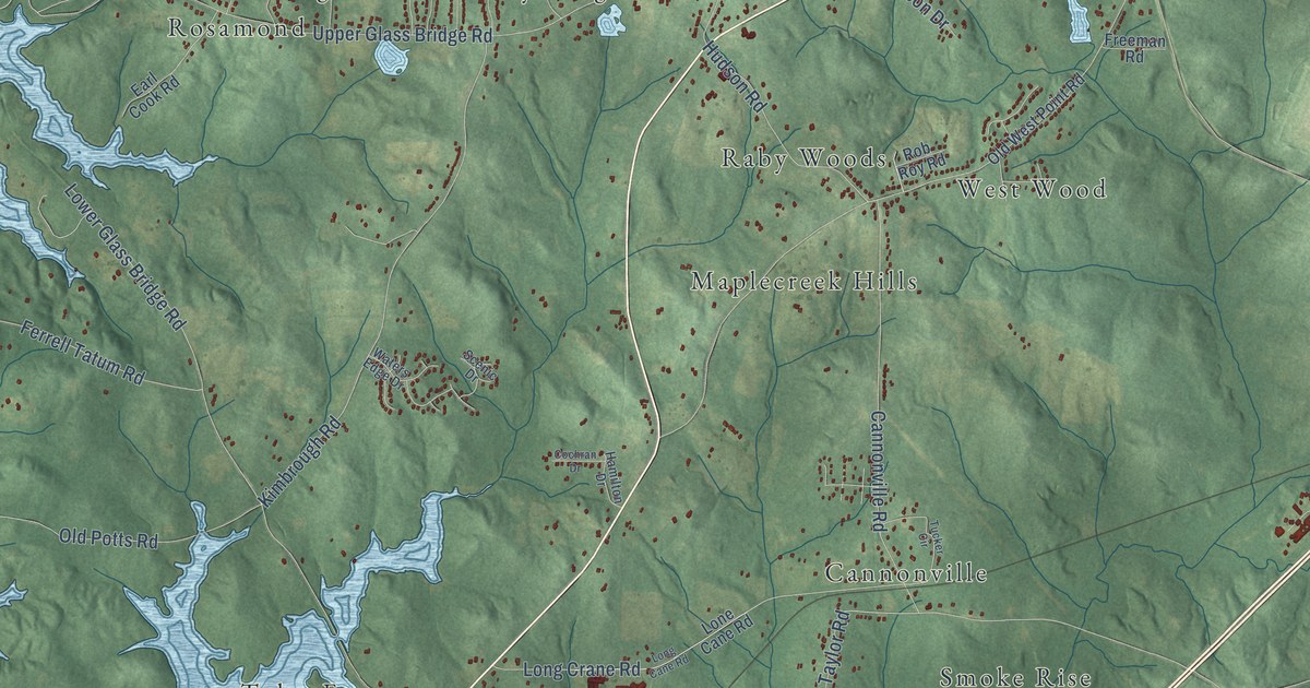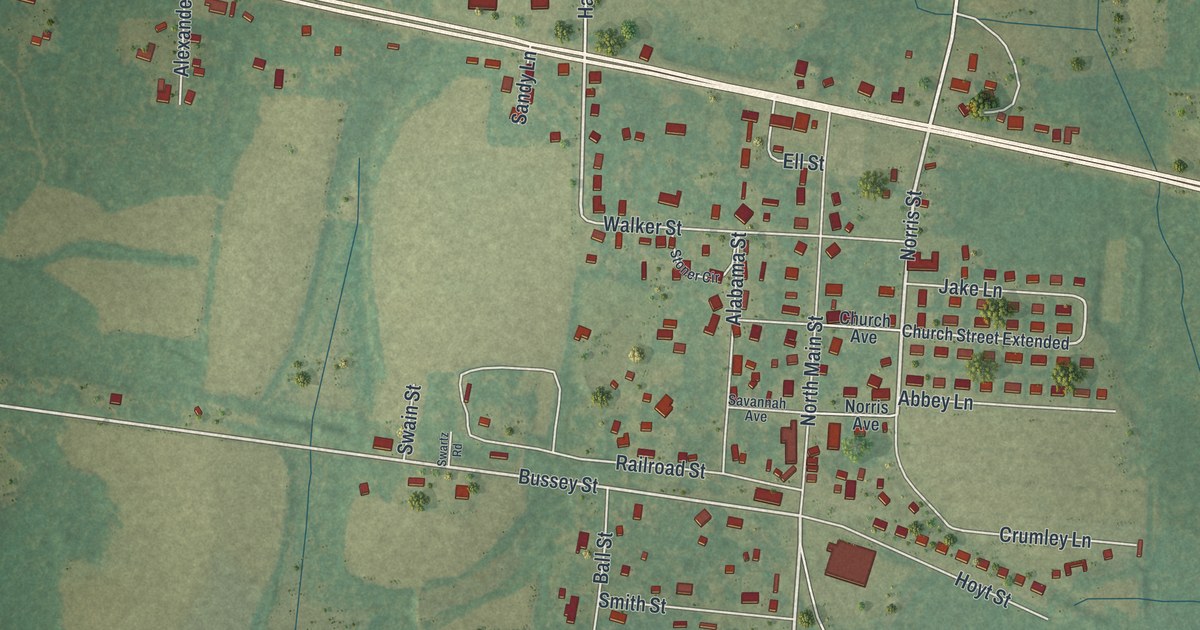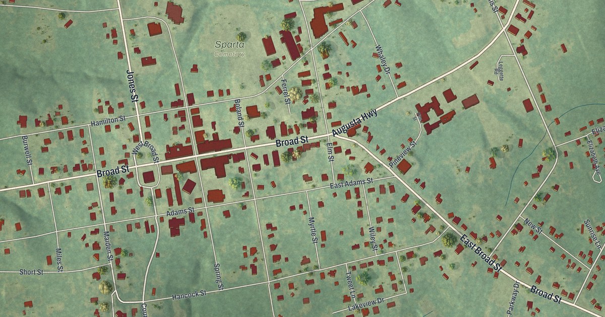
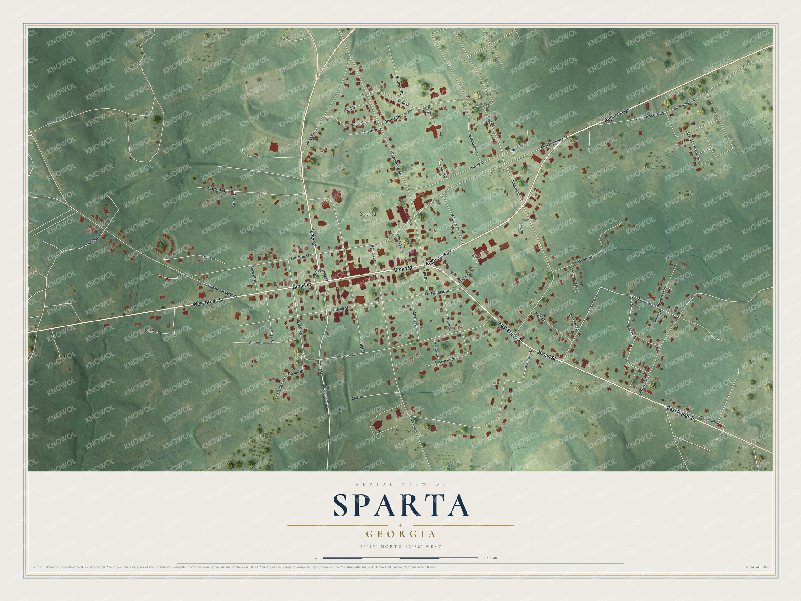
This beautifully detailed map of Sparta, Georgia was created in 2026 using aerial imagery combined with modern topographical, census, street and landmark data. It’s a one-of-a-kind view of Sparta that combines accurate data with a vintage aesthetic. The map shows every building in its true location, many of the roads carry their names, and the shaded topographic relief shows the shape of the land.
Explore an aerial view of Sparta, Georgia
On the map you’ll find Broad Street, Augusta Highway, Jones Street, Court Street, Jail House Road, and more. If you look closely you can even find your house accurately drawn in its correct location. Zoom in on the preview to look for yours.
Did You Know?
Sparta was named for the ancient Greek city that ruled the Peloponnesus. The name fit this little frontier town on an exposed border. Its settlers lived in constant fear of attack and needed Spartan courage. The town became the Hancock County seat and was chartered on December 3, 1805. That’s from the 1913 Georgia’s Landmarks and Legends.
Take a closer look at the Sparta map
Names on this map
These names are printed on this map.
Places: Sparta Cemetery.
Streets and roads: Broad Street, Augusta Highway, East Broad Street, Jones Street, West Broad Street, Court Street, Jail House Road, Maiden Street, Sun Avenue, Clay Street, Sunset Street, Maiden Lane.
More street names, A to Z
Adams Street, Bell Street, Boland Street, Britt Street, Brook Street, Burnett Street, Burwell Street, Central Avenue, Clayton Road, College Avenue, Dyer Drive, East Adams Street, East Hamilton Street, Elizabeth Avenue, Elizabeth Street, Elm Street, Ferrel Street, Ghettis Street, Hamilton Street, Hancock Street, Hunt Street, Ingram Avenue, Jamie Kennedy Boulevard, Lakeview Drive, Ledbetter Drive, Leggette Road, Lewis Court, Lewis Street, Linton Road, Miles Street, Mill Street, Myrtle Street, New Street, Oak Street, Old Augusta Highway, Old Augusta Road, Parkway Drive, Pine Drive, Pine Street, Pineview Street, Powelton Avenue, Providence Street, Rabun Street, Railroad Lane, Railroad Street, Reese Drive, Reese Street, Short Street, Smith Drive, Smith Street, Spring Street, Stubwood Street, Sunrise Lane, Tweet Lane, Whaley Drive, Wiley Street, Willis Street, Wilson Street, Wothern Street.
See it on a wall
The Sparta map as a framed print. Swipe for more.


This beautifully detailed map of Sparta makes an attractive addition to your office, library, or den, and it can even be used to teach children the geography and history of the area. It also makes a great gift for someone who left Sparta and still calls it home. When you’re done exploring, click here to get your copy of the Sparta map.