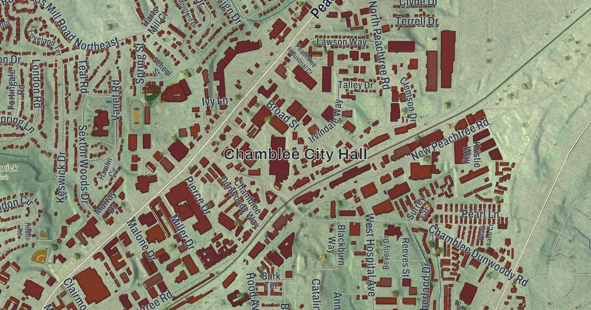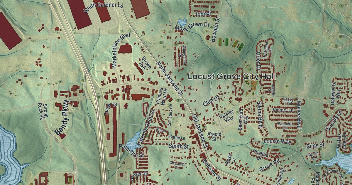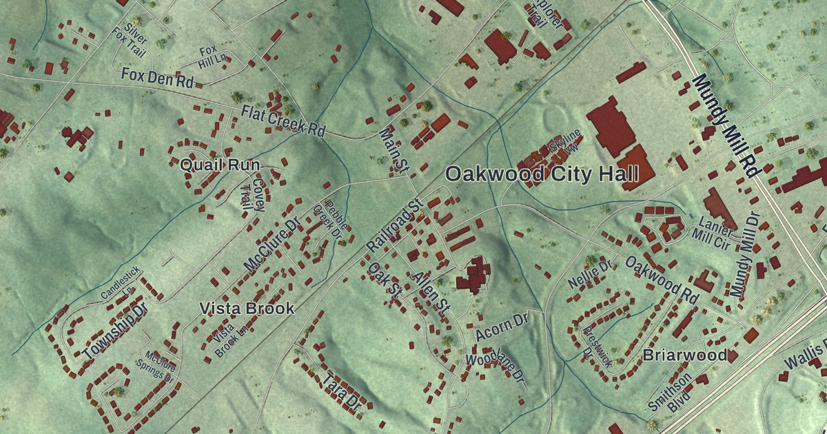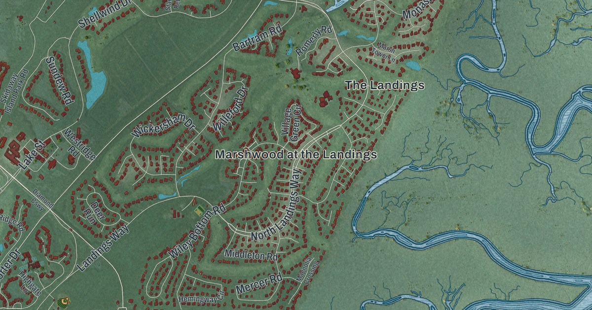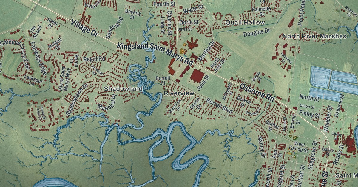
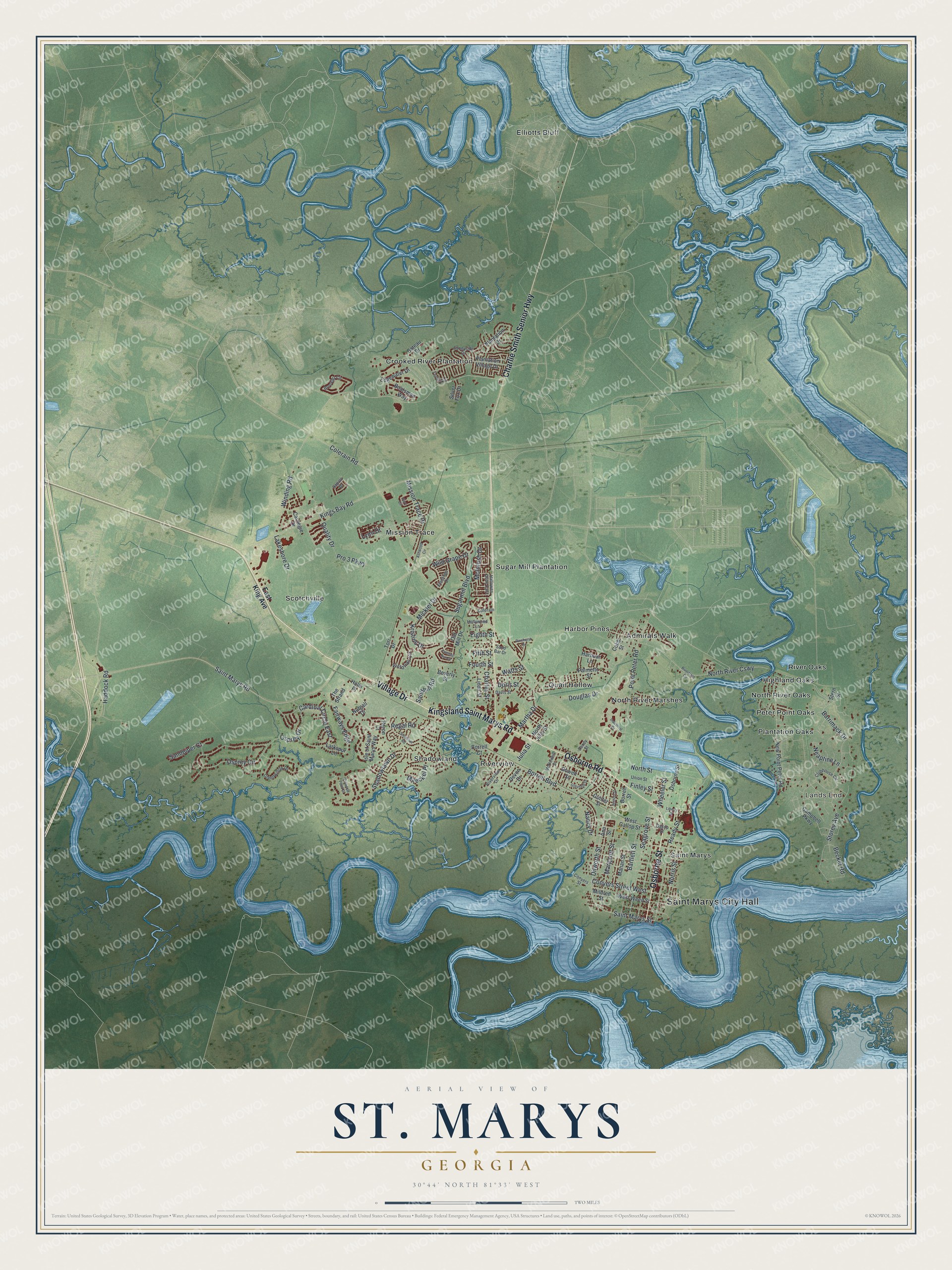
This beautifully detailed map of St. Marys, Georgia was created in 2026 using aerial imagery combined with modern topographical, census, street and landmark data. It’s a one-of-a-kind view of St. Marys that combines accurate data with a vintage aesthetic. The map shows every building in its true location, many of the roads carry their names, and the shaded topographic relief shows the shape of the land.
Explore an aerial view of St. Marys, Georgia
On the map you’ll find Saint Marys City Hall, Lands End, Admirals Walk, Crooked River Plantation, Elliotts Bluff, and Harbor Pines, along with Village Drive, Kingsland Saint Marys Road, Charlie Smith Senior Highway, Osborne Road, and more. If you look closely you can even find your house accurately drawn in its correct location. Zoom in on the preview to look for yours.
Did You Know?
After the Revolution, Camden County settlers gathered on Cumberland Island on November 20, 1787. There they signed a charter for a new town on the St. Marys River. Each of the twenty founders received four town lots and one marsh lot.
Take a closer look at the St. Marys map
Names on this map
These names are printed on this map.
Places: Saint Marys City Hall, Lands End, Admirals Walk, Crooked River Plantation, Elliotts Bluff, Harbor Pines, Highland Oaks, Mission Trace, North River Marshes, North River Oaks, Peter Point Oaks, Plantation Oaks, Quail Hollow, River Oaks, Riverview, Saint Marys, Scotchville, Shadowland and Sugar Mill Plantation.
Streets and roads: Village Drive, Kingsland Saint Marys Road, Charlie Smith Senior Highway, Osborne Road, Osborne Street, Saint Marys Road, Martha Drive, Dilworth Street, Saint Marys Street, Douglas Drive, Osprey Circle, Margaret Street.
More street names, A to Z
Ann Street, Ashwood Circle, Barrimack Drive, Bartlett Street, Bateau Drive, Becket Road, Beverly Street, Bishop Street, Boatsman Way, Borrell Boulevard, Borrell Court, Borrell Street, Bowen Street, Brooklet Circle, Campbell Parkway, Cardinal Circle East, Carnegie Drive, Charles Street, Clubhouse Circle, Cobb Street, Colerain, Colerain Road, Conyers Street, Conyers Street West, Dandy Street, Davis Street, Devon Drive, Doris Street, East King Avenue, Edgewater Drive, Eighth Street, Evening Sun Drive, Fairfield Drive, Fairways Edge, Fifth Street, Finley Street, Flamingo Drive, Fourth Street, Gallop Street, Gary Circle, Greenwillow Drive, Greyfield Drive, Gunter Street, Haddock Road, Hallowes Drive East, Harbour Lane, Heron Court, Hollywood Lane, Holm Place, Industrial Drive, Isle of Saint Marys Way, Julia Street, Kings Bay Road, Kristins Drive, Lakeshore Drive, Larkspur Lane, Liberty Street, Linda Street, Lynn Drive, Maeckel Place, Mahan Street, McDowell Street, McIntosh Drive, Mickler Drive, Mildred Street, Mission Trace Drive, Nancy Drive, Neaptine Lane, New Point Peter Road, Norris Street, North Julia Street, North River Causeway, North Street, Nutgall Drive, Old Mill Drive, Osprey Drive, Palmetto Street, Pinehurst Drive, Pinnacle Point Drive, Plantation Drive, Plantation Village Drive, Point Peter Road, Pro 3 Parkway, Quality Drive, Ready Street, Regal Road, Riverfront Circle, Riverview Drive, Sand Bar Drive, Sandhill Road, Sandpiper Court, Sapalo Drive, Seagrove Street, Shadowlawn Drive, Silver Fox Drive, Somerset Road, Stern Street, Storey Avenue, Sugarmill Boulevard, Sunnyside Drive, The Strand, Tori Drive, Union Street, Victorias Circle, Watts Street, West Gallop Street, West Weed Street, Wheeler Street, Wild Grape Drive, Winding Road.
See it on a wall
The St. Marys map as a framed print. Swipe for more.


This beautifully detailed map of St. Marys makes an attractive addition to your office, library, or den, and it can even be used to teach children the geography and history of the area. It also makes a great gift for anyone with St. Marys roots. When you’re done exploring, click here to get your copy of the St. Marys map.