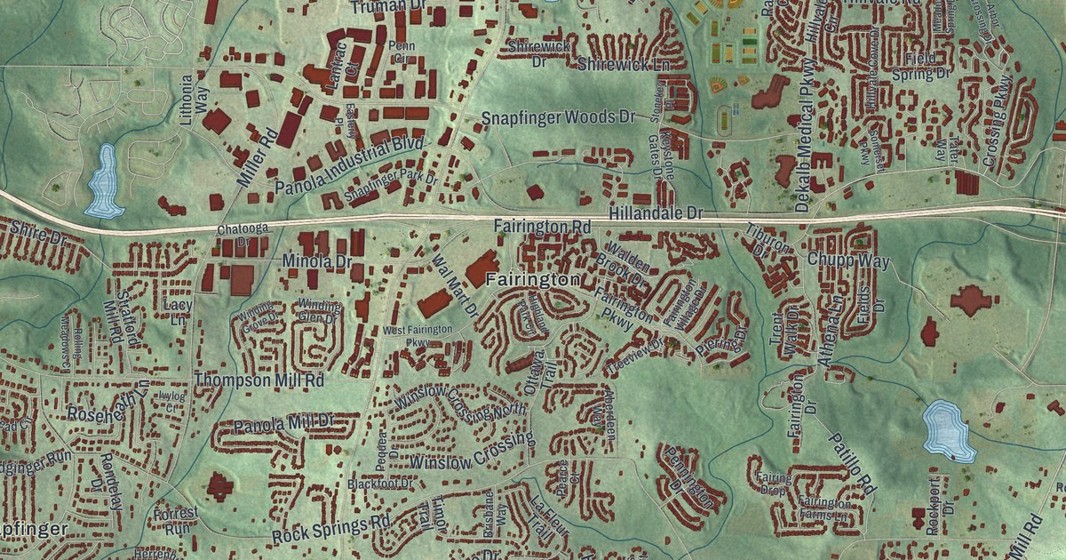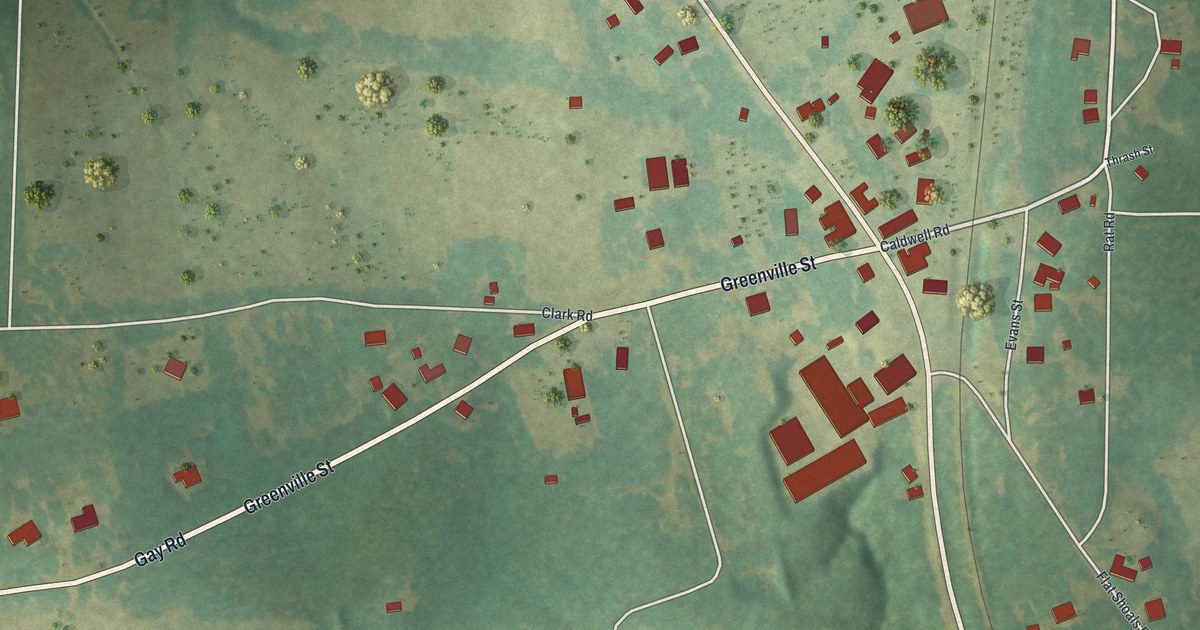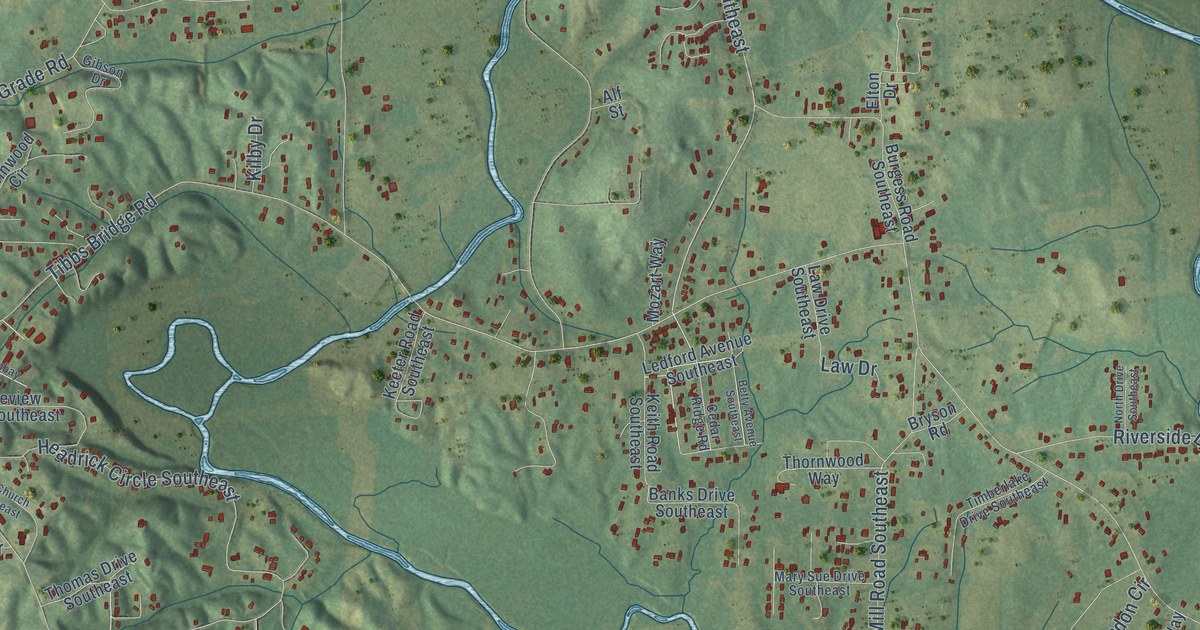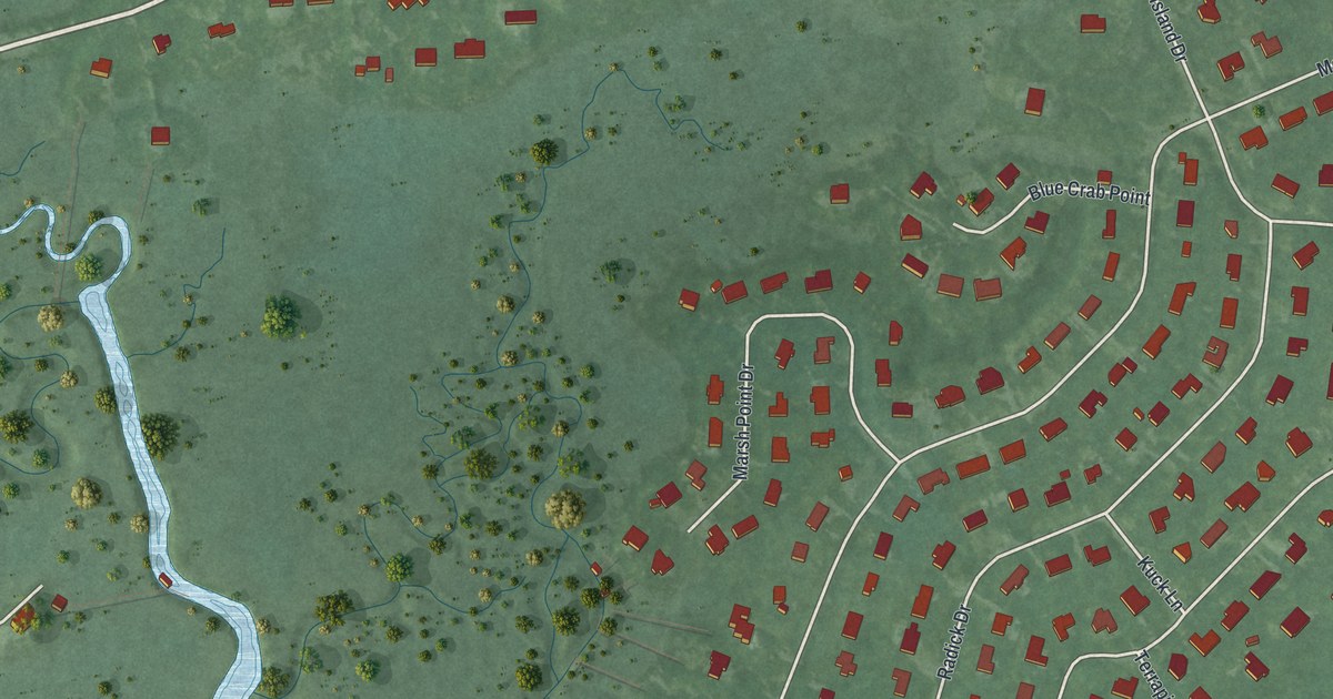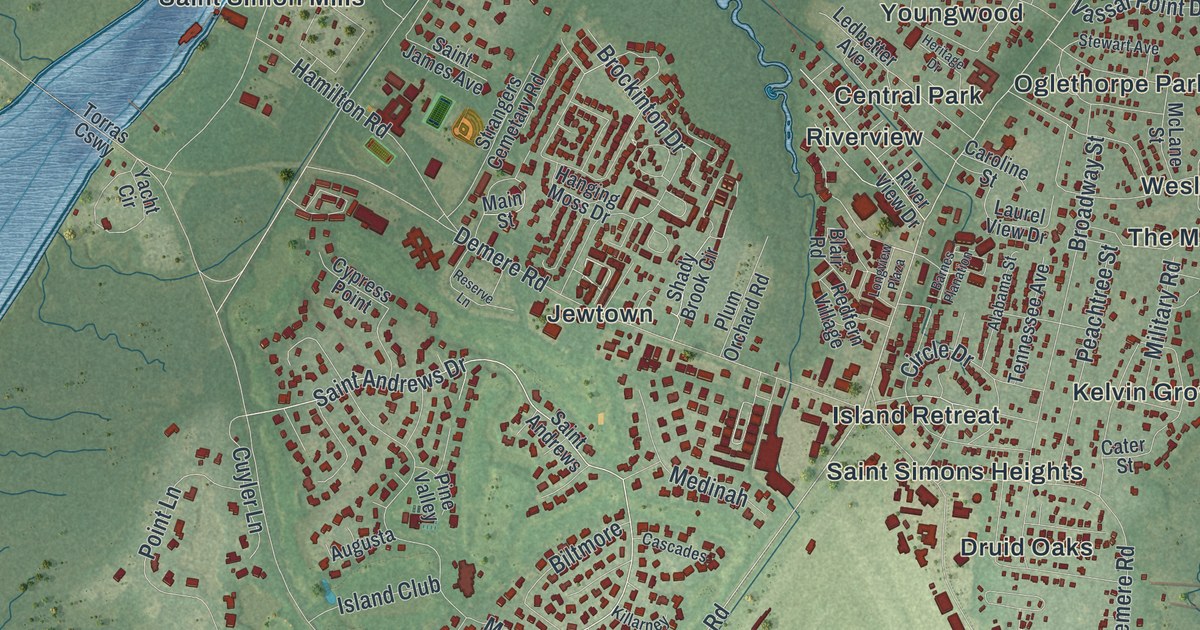
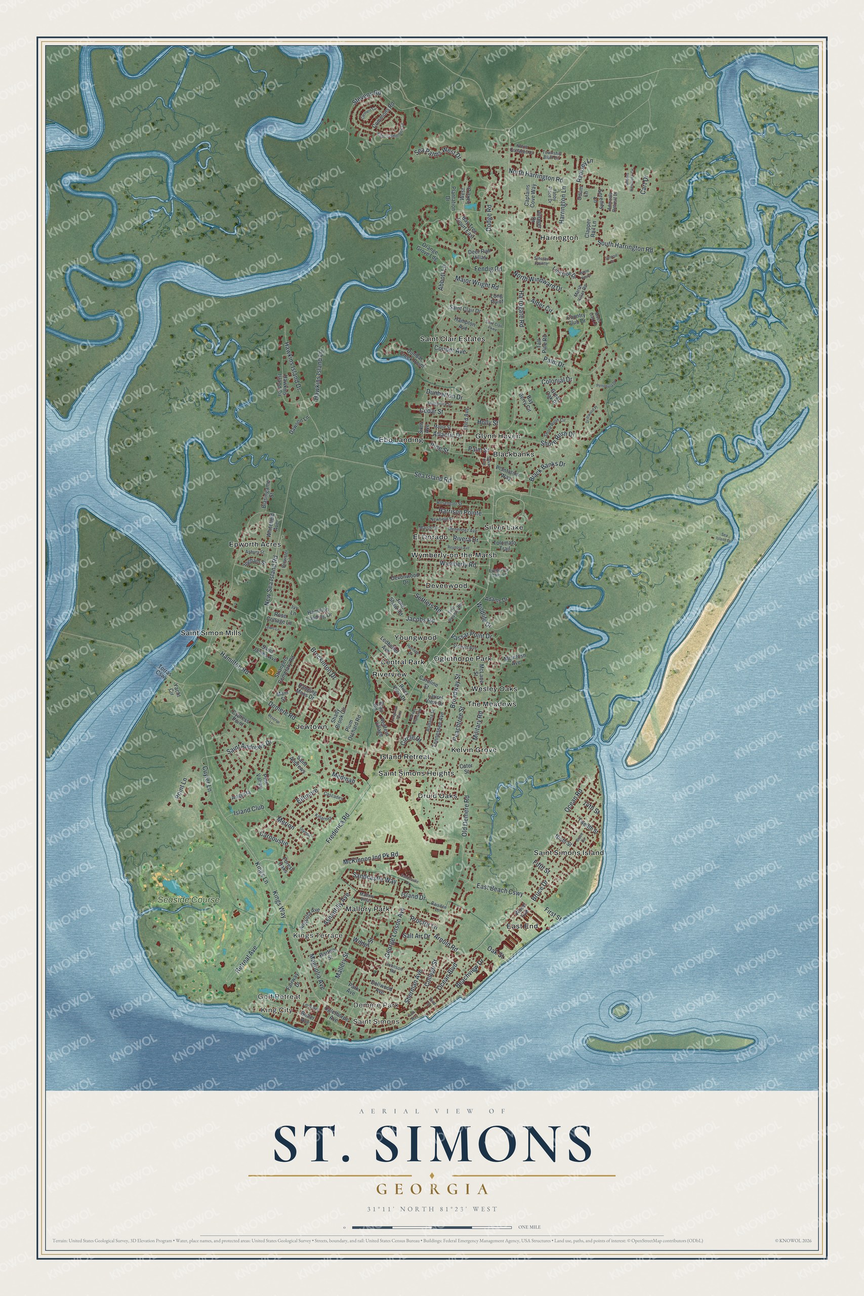
This beautifully detailed map of St. Simons, Georgia was created in 2026 using aerial imagery combined with modern topographical, census, street and landmark data. It’s a one-of-a-kind view of St. Simons that combines accurate data with a vintage aesthetic. The map shows every building in its true location, many of the roads carry their names, and the shaded topographic relief shows the shape of the land.
Explore an aerial view of St. Simons, Georgia
On the map you’ll find King City, Demere Park, Blackbanks, and Central Park, along with Sandcastle Way, George Lotson Avenue, Wymberly Road, College Street, Frederica Road, Kings Terrace, and more. If you look closely you can even find your house accurately drawn in its correct location. Zoom in on the preview to look for yours.
Did You Know?
On July 7, 1742, General Oglethorpe’s regiment fought a Spanish force on St. Simon’s Island. The Spanish far outnumbered the English, yet they were beaten. Their losses were so heavy that the battle site is still called the Bloody Marsh. That’s from the 1901 Georgia Historical and Industrial.
Take a closer look at the St. Simons map
Names on this map
These names are printed on this map.
Places: King City, Saint Simons, Golf Retreat, Demere Park, Kings Terrace, Blackbanks, Central Park, Devenwood, Druid Oaks, East End, Ebo Landing, El Dorado, Epworth Acres, Glynn Haven, Harrington, Island Retreat, Jewtown, Kelvin Grove, Mallory Park, Oglethorpe Park, Riverview, Saint Clair Estates, Saint Simon Mills, Saint Simons Heights, Saint Simons Island, Silver Lake, The Meadows, Wesley Oaks, Wymberly-on-the-Marsh, Youngwood and Seaside Course.
Streets and roads: Sandcastle Way, George Lotson Avenue, Wymberly Road, College Street, Frederica Road, Saint Andrews Drive, Ashantilly Avenue, Fifth Street, Sea Island Road, Demere Road, Kings Way, Ocean Boulevard.
More street names, A to Z
14th Street, Abbott Lane, Adams Drive, Admirals Retreat Drive, Alabama Street, Alder Circle, Anguilla Avenue, Arnold Road, Asbury Street, Atlantic Drive, Augusta, Baisden Lane, Barnes Planation, Bartow Street, Bay Berry Circle, Bay Tree Court East, Beachview Drive, Biltmore, Black Banks Drive, Blair Road, Blasingame Street, Brewster Lane, Broadway Street, Brockinton Drive, Bruce Circle, Bruce Drive, Butler Avenue, Captains Cove Way, Carnoustie, Caroline Street, Cart Drive, Cascades, Cater Street, Cedar Street, Circle Drive, Clapper Rail Lane, Clement Circle, Colonial Drive, Commons Road, Country Club Drive, Couper Avenue, Cuyler Lane, Cypress Point, Dawson Lane, Deer Run Villas, Dellwood Avenue, Devonwood Drive, Dodge Road, Driftwood Place, Dunbar Creek Point, Dunbarton Drive, East Beach Causeway, East Commons Drive, Fairway Drive, Fendig Road, First Street, Five Pounds Road, Forest Oaks, Frederica Oaks Lane, Great Oak Place, Hamilton Landing Drive, Hamilton Road, Hampton Avenue, Hanging Moss Drive, Harrington Lane, Harrison Pointe, Harrogate Road, Hawkins Island Circle, Hawkins Island Drive, Hawkins Island Lane, Heritage Drive, Holly Street, Ingham Street, Island Club, Island Drive, Ivy Lane, Jacobs Road, John Shaw Road, Johnson Road, Killarney, Kings Lane, Laurel View Drive, Ledbetter Avenue, Lewis Lane, Linkside Drive, Long Point, Longview Plaza, Lord Avenue, Magnolia Avenue, Magnolia Street, Main Street, Major Wright Road, Mallery Street, Mallery Villas, Maple Street, Marsh Circle, Marsh Villas Road, McIntosh Avenue, McKinnon Ind Pk Road, McLane Street, Medinah, Menendez Avenue, Merion, Military Road, Moss Oak Lane, Newfield Street, New Sea Island Road, Ninth Street, North Cottages Drive, North Harrington Road, North Windward Drive, Oak Street, Ocean Road, Odum Lane, Oglethorpe Avenue, Old Demere Road, Olympic, Orange Grove Ldg, Palm Drive, Palm Street, Park Avenue, Park Way, Peachtree Street, Peninsula Drive, Pine Street, Pine Valley, Plantation Drive, Plantation Way, Plum Orchard Road, Point Lane, Proctor Lane, Ramsey Lane, Redfern Village, Reserve Lane, Retreat Avenue, Reynoso Avenue, Rivera Drive, River View Drive, Rose Cottage Lane, Rosemont Street, Saint Andrews, Saint Clair Drive, Saint Clair Parkway, Saint James Avenue, Salt Air Drive, Sandcastle Drive, Sea Island Drive, Sea Palms West Drive, Serenity Lane, Settlers Hammock Circle, Settlers Road, Shady Brook Circle, Sherman Avenue, Shore Rush Circle, Shore Rush Drive, Sinclair Pointe, Sixth Avenue, South Harrington Road, Stevens Road, Stewart Avenue, Strangers Cemetary Road, Sunrise Drive, Sylvan Boulevard, Tabby Place Drive, Tall Pine Road, Tennessee Avenue, Third Avenue, Third Street, Tolomato Trail, Torras Causeway, Township Bluff Circle, Twelfth Street, Vassar Point Drive, Villager Drive, West Lake Drive, Whitefield Avenue, White Heron, Wilder Street, Wildlife Drive, Wood Avenue, Yacht Circle.
See it on a wall
The St. Simons map as a framed print. Swipe for more.


This beautifully detailed map of St. Simons makes an attractive addition to your office, library, or den, and it can even be used to teach children the geography and history of the area. It also makes a great gift for someone who left St. Simons and still calls it home. When you’re done exploring, click here to get your copy of the St. Simons map.