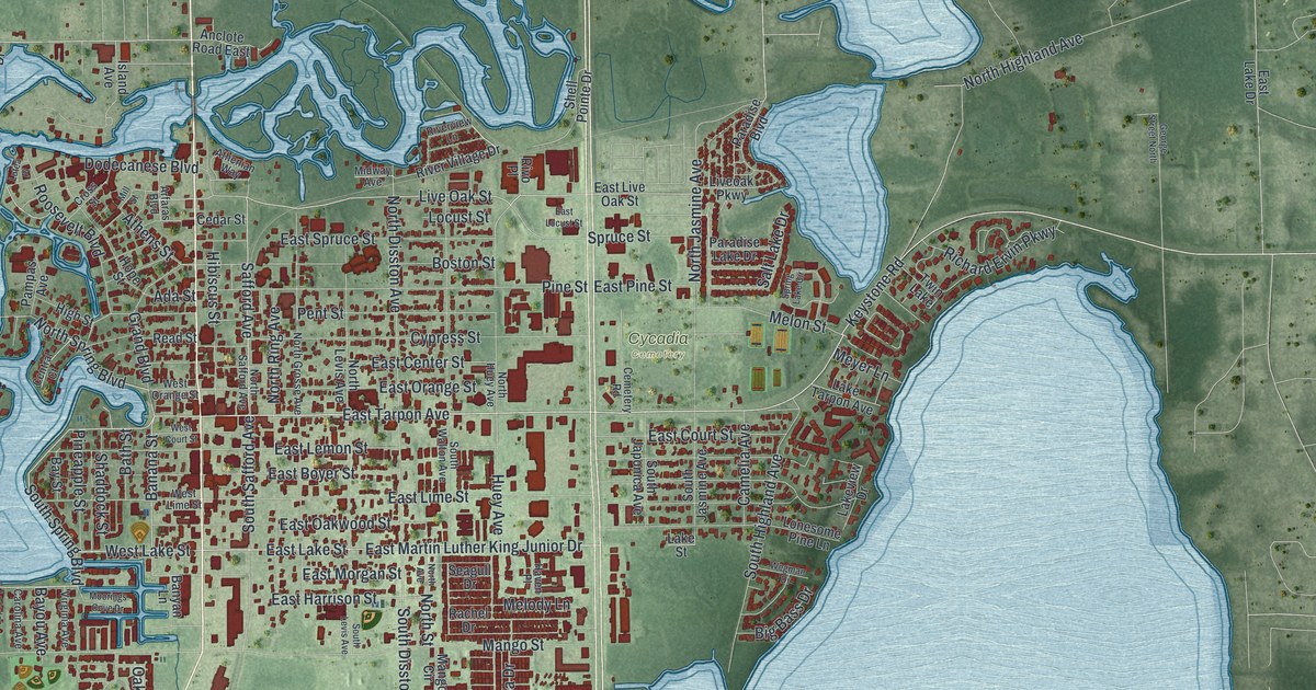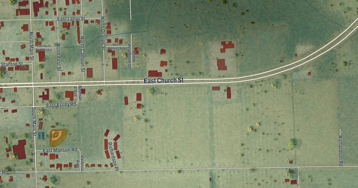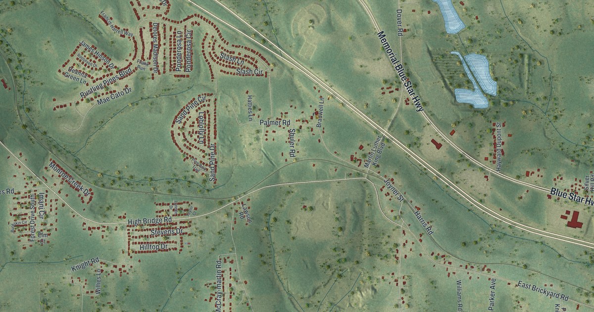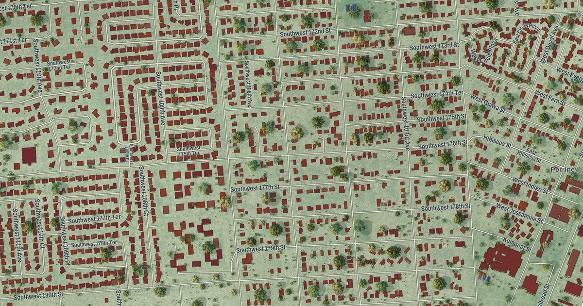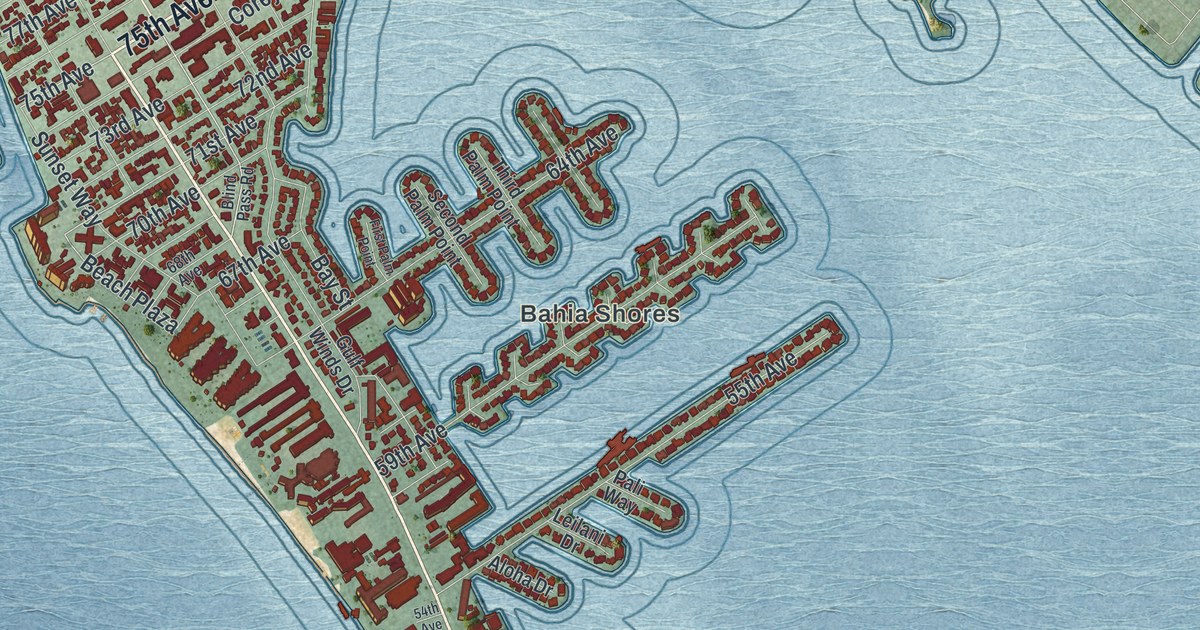
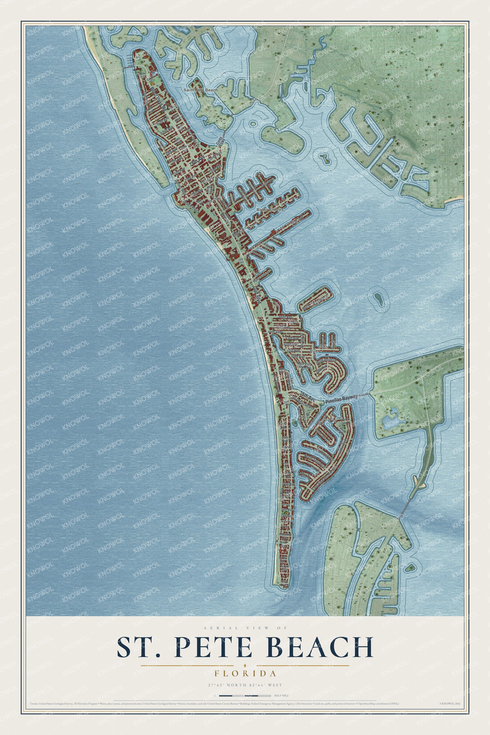
This beautifully detailed map of St. Pete Beach, Florida was created in 2026 using aerial imagery combined with modern topographical, census, street and landmark data. It’s a one-of-a-kind view of St. Pete Beach that combines accurate data with a vintage aesthetic. The map shows every building in its true location, many of the roads carry their names, and the shaded topographic relief shows the shape of the land.
Explore an aerial view of St. Pete Beach, Florida
On the map you’ll find Bahia Shores, Pinellas Bayway, and Beach Plaza, along with Gulf Boulevard, 75th Avenue, 35th Avenue, Blind Pass Road, El Centro Street, East Debazan Avenue, Gulf Way, 71st Avenue, and more. If you look closely you can even find your house accurately drawn in its correct location. Zoom in on the preview to look for yours.
Did You Know?
The city was formed in 1957 when four towns merged: Belle Vista, Pass-a-Grille, St. Petersburg Beach and Don CeSar Place. The vote to merge passed by just five votes. In 1994 voters picked a shorter name, St. Pete Beach. They wanted to tell their city apart from St. Petersburg, a few miles east.
Take a closer look at the St. Pete Beach map
Names on this map
These names are printed on this map.
Places: Bahia Shores and Saint Pete Beach.
Streets and roads: Gulf Boulevard, 75th Avenue, Pinellas Bayway, 35th Avenue, Blind Pass Road, El Centro Street, East Debazan Avenue, Gulf Way, Beach Plaza, 71st Avenue, Bay Street, East Vina del Mar Boulevard.
More street names, A to Z
13th Avenue, 14th Avenue, 15th Avenue, 16th Avenue, 17th Avenue, 19th Avenue, 21st Avenue, 23rd Avenue, 25th Avenue, 28th Avenue, 29th Avenue, 31st Avenue, 33rd Road, 37th Avenue, 39th Avenue, 40th Avenue, 41st Avenue, 42nd Avenue, 43rd Avenue, 44th Avenue, 45th Avenue, 46th Avenue, 54th Avenue, 55th Avenue, 59th Avenue, 64th Avenue, 67th Avenue, 68th Avenue, 70th Avenue, 72nd Avenue, 73rd Avenue, 77th Avenue, 78th Avenue, 79th Avenue, 80th Avenue, 81st Avenue, 82nd Avenue, 83rd Avenue, 84th Avenue, 85th Avenue, 87th Avenue, 93rd Avenue, Aloha Drive, Alton Drive, Belle Point Drive, Belle Vista Drive East, Boca Ciega Drive, Boca Ciega Isle Drive, Captiva Circle, Coquina Way, Corey Avenue, Corey Causeway, East Maritana Drive, Eleventh Avenue, First Avenue, First Palm Point, Fourth Avenue, Gulf Winds Drive, Hermosita Drive, Holland Drive, Isle Drive, Leilani Drive, Lido Drive, Mangrove Point, Mar Street, Miller Drive, Mirabella Court, Moody Street, Ninth Avenue, North Isle Drive, North Julia Circle, North Tessier Drive, Pali Way, Poinsettia Drive, Punta Vista Drive, Second Palm Point, Sixth Avenue, South Isle Drive, South Julia Circle, South Maritana Drive, South Tessier Drive, Sunset Way, Third Palm Point, West Debazan Avenue, West Maritana Drive, West Vina del Mar Boulevard.
See it on a wall
The St. Pete Beach map as a framed print. Swipe for more.


This beautifully detailed map of St. Pete Beach makes an attractive addition to your office, library, or den, and it can even be used to teach children the geography and history of the area. It also makes a great gift for anyone who grew up in St. Pete Beach or moved away. When you’re done exploring, click here to get your copy of the St. Pete Beach map.