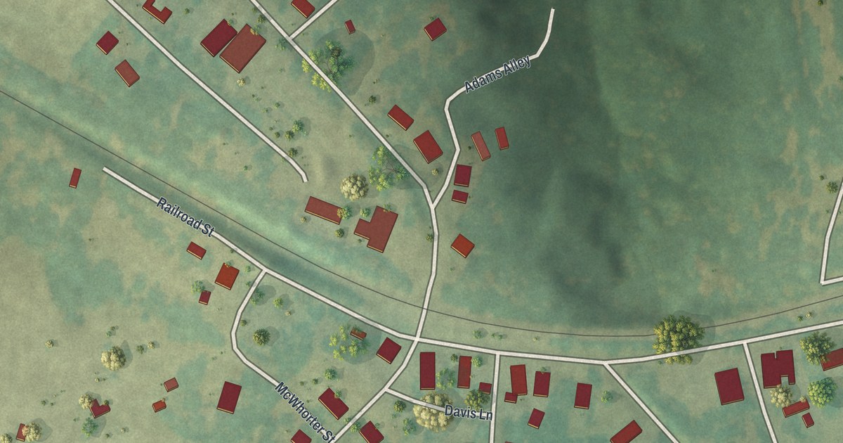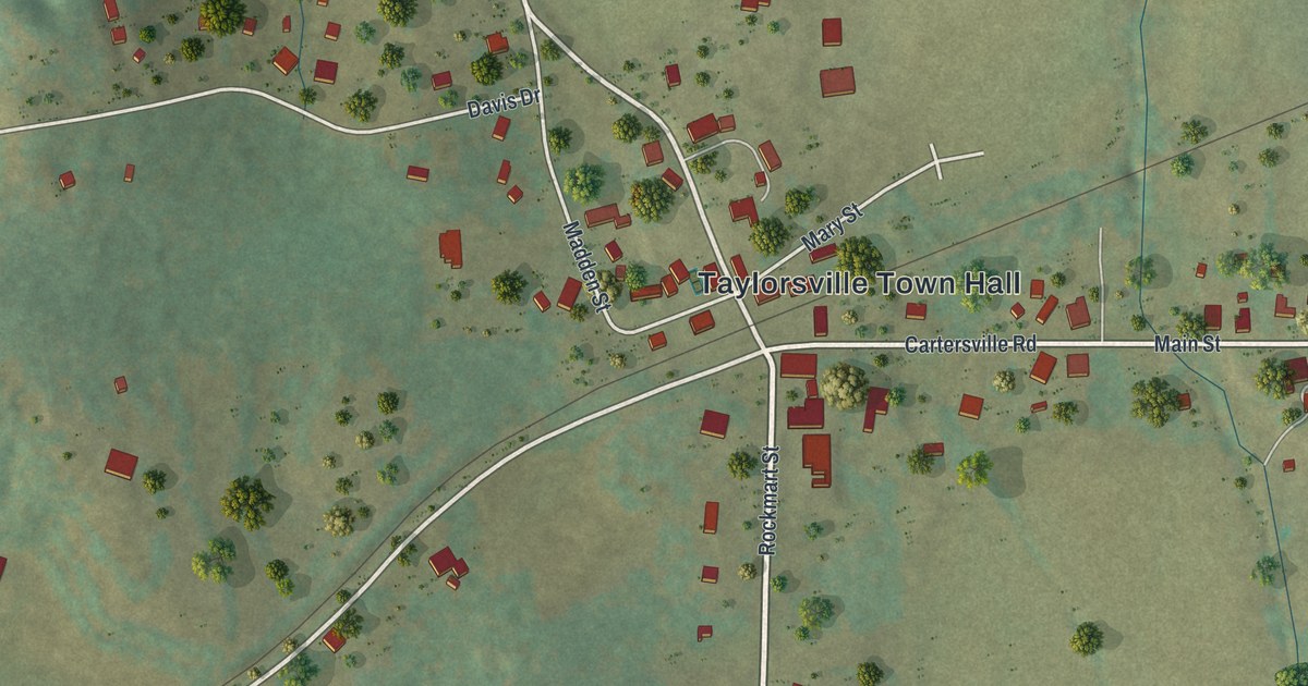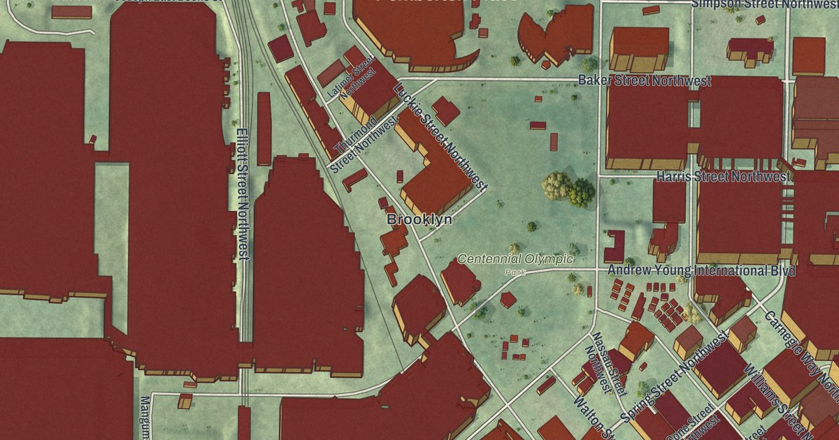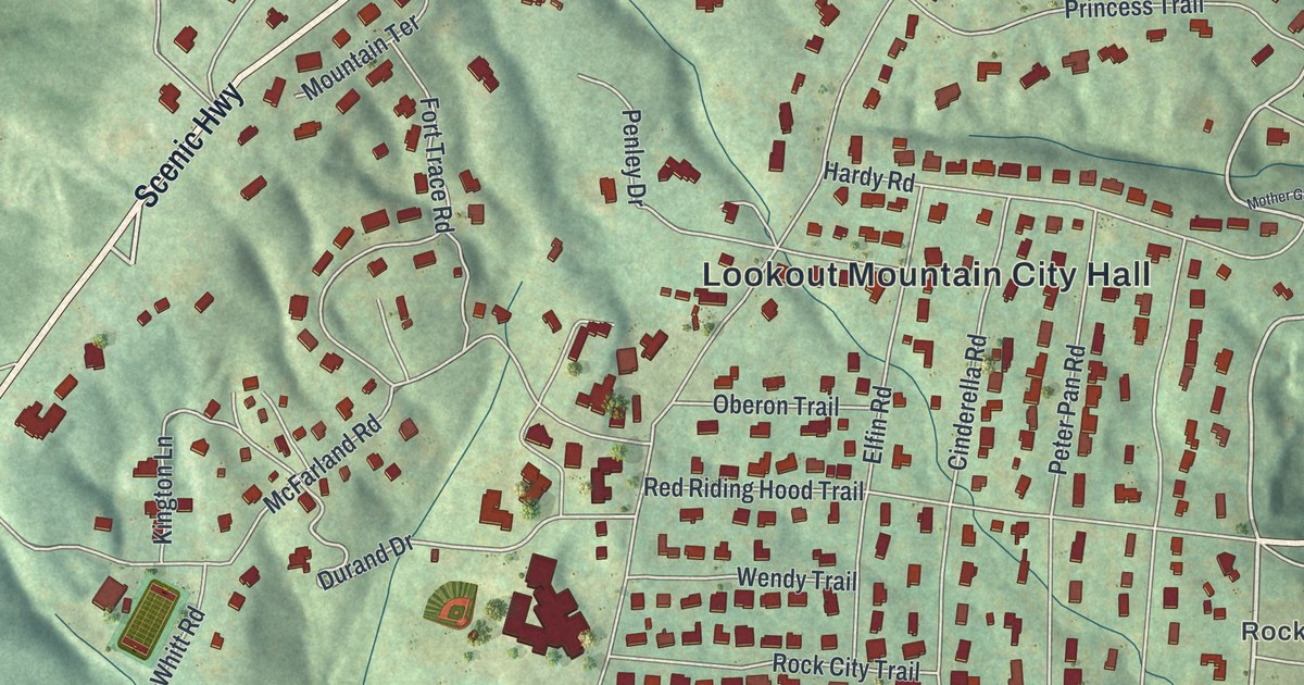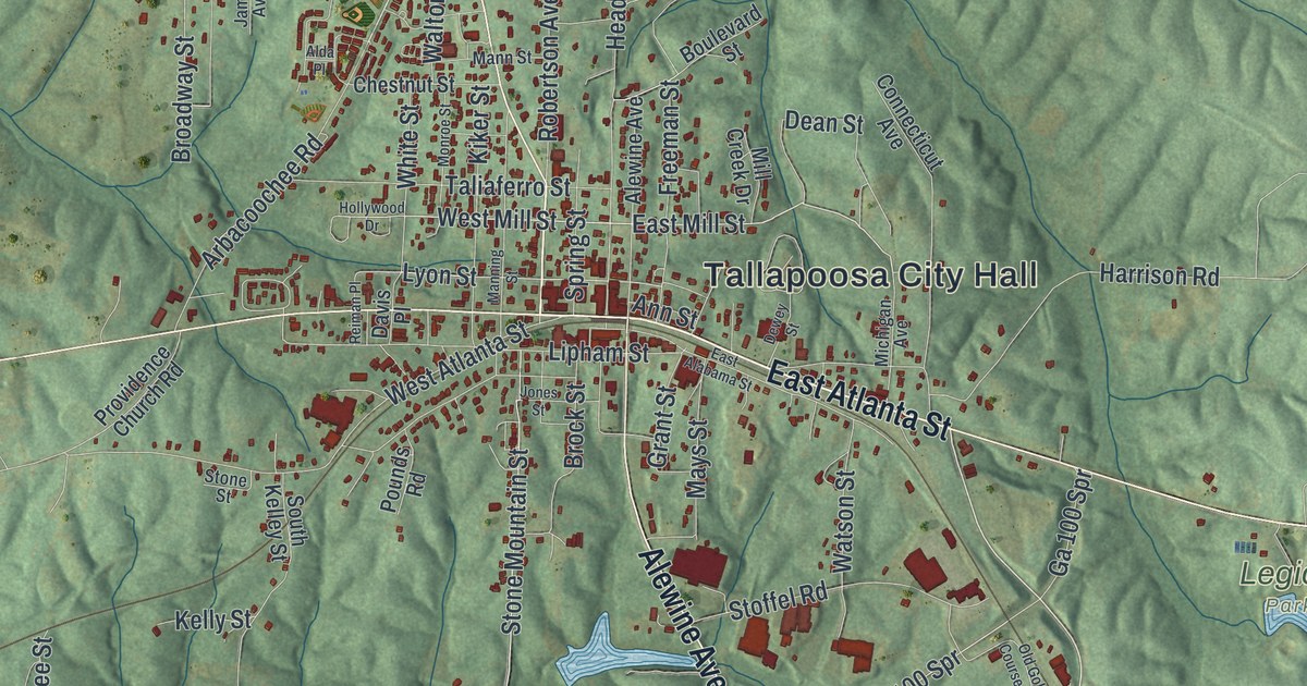
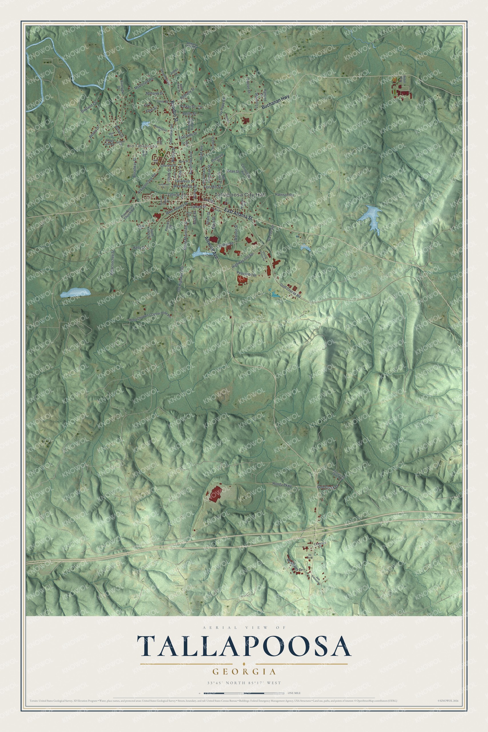
This beautifully detailed map of Tallapoosa, Georgia was created in 2026 using aerial imagery combined with modern topographical, census, street and landmark data. It’s a one-of-a-kind view of Tallapoosa that combines accurate data with a vintage aesthetic. The map shows every building in its true location, many of the roads carry their names, and the shaded topographic relief shows the shape of the land.
Explore an aerial view of Tallapoosa, Georgia
On the map you’ll find Tallapoosa City Hall, Old Tallapoosa, and Legion Park, along with Atlanta Street, Bowdon Street, Buchanan Highway, Alewine Avenue, and more. If you look closely you can even find your house accurately drawn in its correct location. Zoom in on the preview to look for yours.
Did You Know?
Tallapoosa grew slowly until 1884. Then northern investors came to develop its gold, silver and copper deposits and a lithia water spring. A company formed in 1887 laid out lakes, parks and 8,000 city lots. Excursion trains came from Chicago and New York. The boom peaked in 1891, then faded as the mines played out and lawsuits piled up. That’s from the 1940 WPA guide to Georgia.
Take a closer look at the Tallapoosa map
Names on this map
These names are printed on this map.
Places: Tallapoosa City Hall, Old Tallapoosa and Legion Park.
Streets and roads: East Atlanta Street, Bowdon Street, Buchanan Highway, Alewine Avenue, Golf Course Road, Arbacoochee Road, West Mill Street, Broad Street, East Mill Street, Highway 100 Spr, Stone Mountain Street, Ivy Pope Road.
More street names, A to Z
Alda Place, Ann Street, Arbacoochee Street, Berlin Street, Bethany Church Road, Bethany Street, Boulevard Street, Broadway Street, Brock Street, Cedartown Avenue, Chestnut Street, Commerce Drive, Connecticut Avenue, Creek Drive, Davis Place, Dean Street, Decatur Street, Dewey Street, Dunson Road, East Alabama Street, East Side Drive, Falcon Drive, Faye Street, Freeman Street, Ga 100 Spr, Gold Creek Drive, Gold Street, Grant Street, Harrison Road, Head Avenue, Highland Drive, Hill Top Drive, Hollywood Drive, Honda Parkway, Jack Robinson Road, James Avenue, James Street, Jones Street, Kelly Street, Kiker Street, Laminack Lane, Liner Street, Lipham Street, Lyon Street, Main Drive, Manning Street, Mann Street, Mays Street, McAdams Drive, McDonald Road, Michigan Avenue, Mill Creek Drive, Mohawk Drive, Monroe Street, North Ridge Drive, Oakland Court, Old Golf Course Road, Old Highway 100, Orton Street, Parker Street, Pequanoc Drive, Pleasant Hill Church Road, Pounds Road, Providence Church Road, Ray Street, Rebel Way, Reiman Place, Renee Drive, Riverview Drive, Robertson Avenue, Shady Lane Drive, Sharon Lane, South Kelley Street, Spring Street, Steadman Road, Stoffel Road, Stone Street, Taliaferro Street, Walton Street, Washington Street, Watson Street, West Atlanta Street, White Street, Woodland Brook Drive, World Children's Center Drive Pvt.
See it on a wall
The Tallapoosa map as a framed print. Swipe for more.


This beautifully detailed map of Tallapoosa makes an attractive addition to your office, library, or den, and it can even be used to teach children the geography and history of the area. It also makes a great gift for someone who left Tallapoosa and still calls it home. When you’re done exploring, click here to get your copy of the Tallapoosa map.