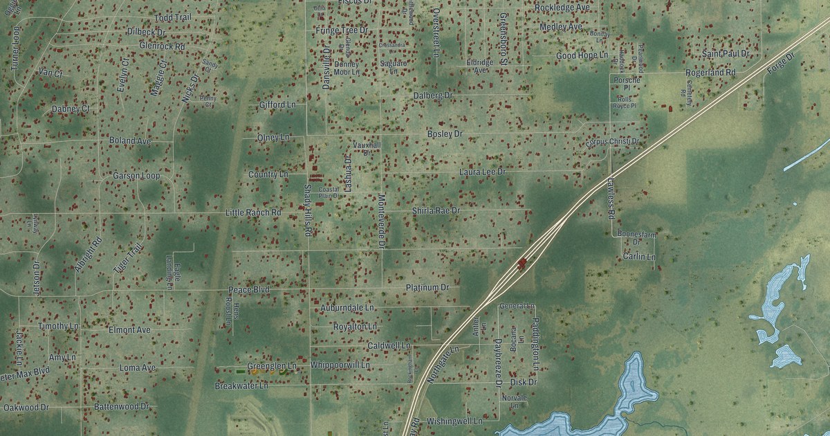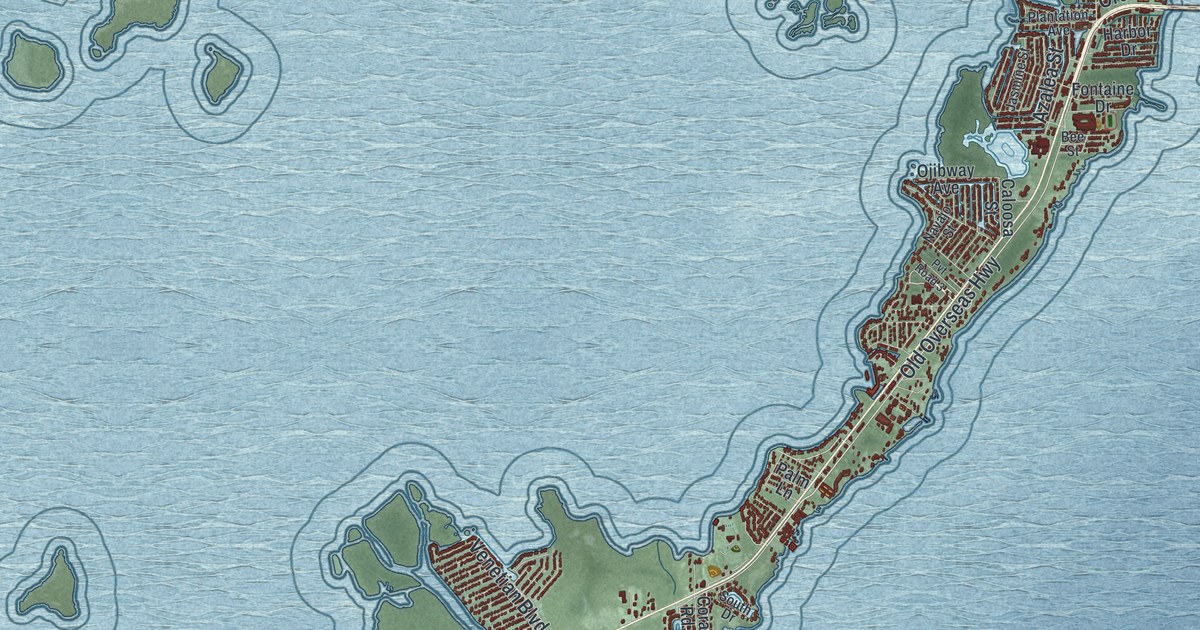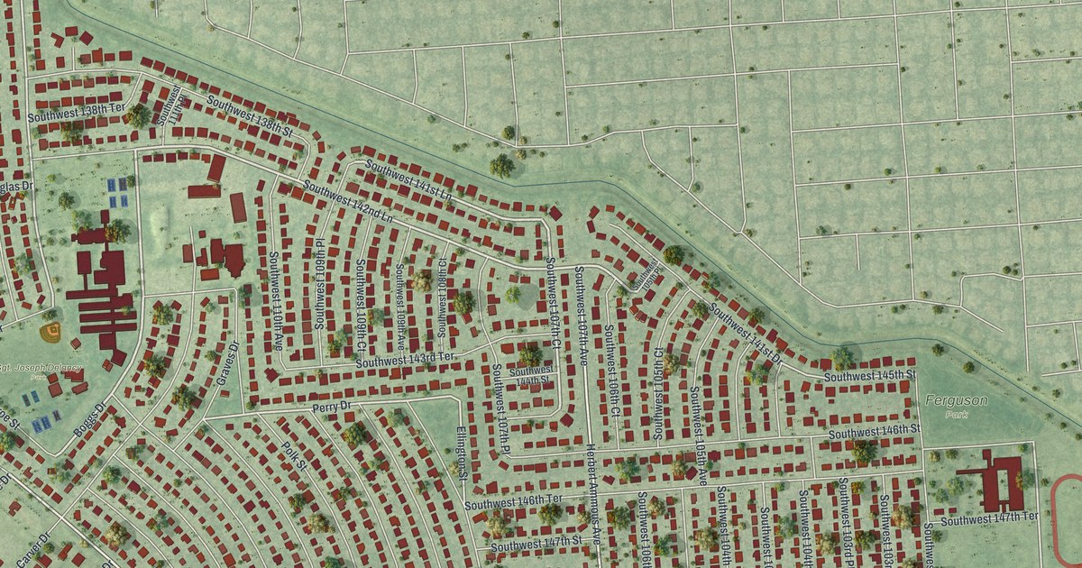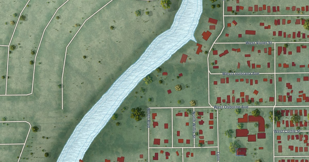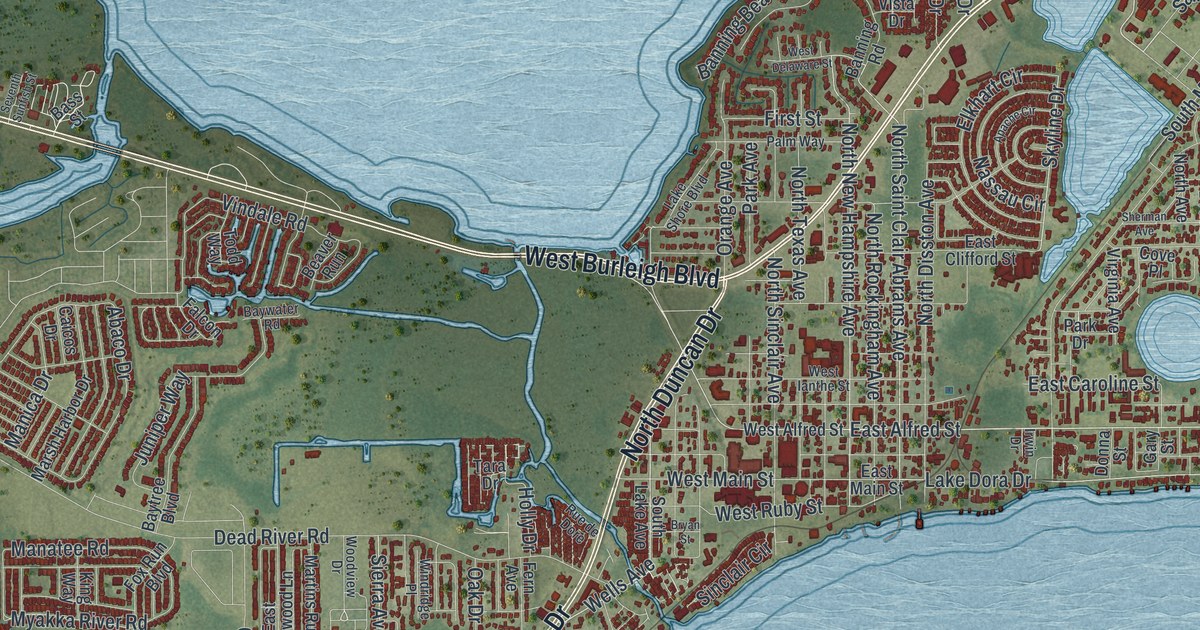
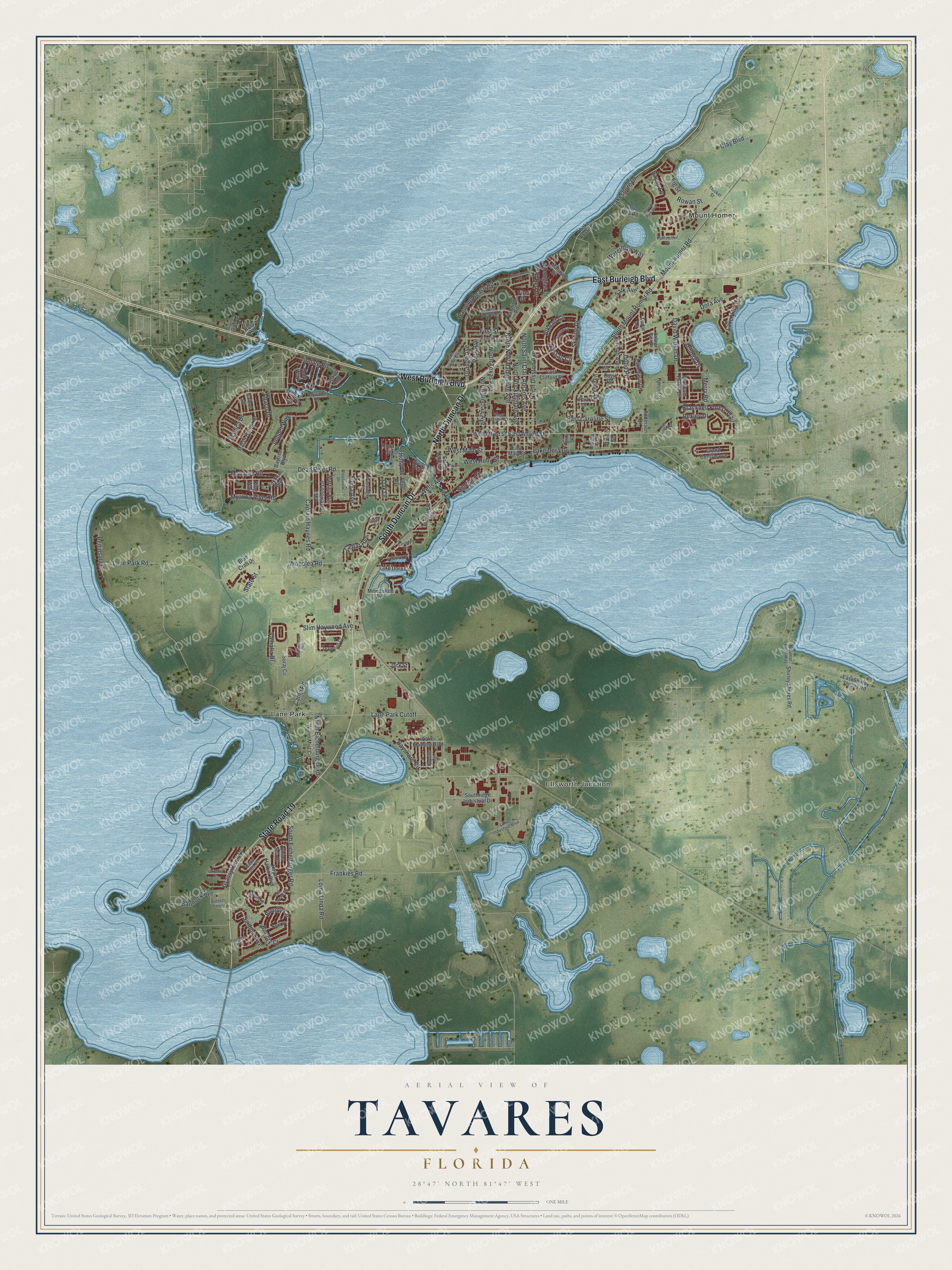
This beautifully detailed map of Tavares, Florida was created in 2026 using aerial imagery combined with modern topographical, census, street and landmark data. It’s a one-of-a-kind view of Tavares that combines accurate data with a vintage aesthetic. The map shows every building in its true location, many of the roads carry their names, and the shaded topographic relief shows the shape of the land.
Explore an aerial view of Tavares, Florida
On the map you’ll find Ellsworth Junction, Lane Park, and Mount Homer, along with Burleigh Boulevard, Duncan Drive, Waterman Way, Alfred Street, Mount Homer Road, and more. If you look closely you can even find your house accurately drawn in its correct location. Zoom in on the preview to look for yours.
Did You Know?
Founder Alexander St. Clair Abrams first planned Tavares as a tourist town. He later decided it would become an industrial and railroad center and even the capital of Florida. He spent more than 500,000 dollars on a hotel, lumber mills, stores, a cigar factory and railroads. Tavares did become the seat of Lake County. That’s from the 1939 WPA guide to Florida.
Take a closer look at the Tavares map
Names on this map
These names are printed on this map.
Places: Ellsworth Junction, Lane Park and Mount Homer.
Streets and roads: State Road 19, West Burleigh Boulevard, East Burleigh Boulevard, South Duncan Drive, North Duncan Drive, Waterman Way, East Alfred Street, Mount Homer Road, Holly Drive, Sinclair Circle, Wells Avenue, First Street.
More street names, A to Z
Abaco Drive, Anderson Drive, Ann Rou Road, Apache Circle, Baltic Sea Bv, Banning Beach Road, Banning Road, Bannock Avenue, Bass Street, Bayou Lane, Bayshore Circle, Bayside Circle, Baytree Boulevard, Baywater Road, Beaver Run, Bexley Drive, Blue Crab Drive, Bounty Circle, Bounty Cr, Bracknell Forest Trail, Bryan Street, Caicos Drive, Camp Road, Captain Haynes Road, Cedar Avenue, Cedar Circle, China Sea Drive, Clay Boulevard, College Park Drive, County Drive, Cove Place, David Walker Drive, Dead River Road, Donna Street, Dora Avenue, Douglas Drive, Druid Place, East Caroline Street, East Clifford Street, East Main Street, East Rosewood Lane, East Shirley Shores Road, Elkhart Circle, El Red Drive, Etowah Park Boulevard, Falcon Drive, Fern Avenue, Fig Street, Flagship Avenue, Fox Run Boulevard, Frankies Road, Freeport Drive, Gary Street, Grand Central Avenue, Grassy Knoll Drive, Gulf Stream Street, Henin Circle, Huffstetler Drive, Irwin Drive, Jack Street, Juniper Way, Keel Court, Kellogg Drive, King Way, Lake Dora Circle, Lake Dora Drive, Lake Elsie Drive, Lake Eustis Drive, Lake Idamere Boulevard, Lake Industrial Boulevard, Lake Shore Boulevard, Lakeshore Drive, Lakeview Drive, Lake Villa Drive, Lane Park Cutoff, Lane Park Road, Loma Linda Road, Manatee Road, Manica Drive, Mansfield Road, Marina Drive, Marsh Harbor Drive, Martins Run, Merry Road, Milwaukee Avenue, Myakka River Road, Nassau Circle, North Avenue, North Disston Avenue, North Eichelburger Road, North New Hampshire Avenue, North Rockingham Avenue, North Saint Clair Abrams Avenue, North Sinclair Avenue, North Texas Avenue, Oak Drive, Orange Avenue, Palm Way, Park Avenue, Park Drive, Peninsula Drive, Rowan Street, Royal Harbor Boulevard, Rue de Dore, Sailboat Avenue, Salk Avenue, Seventh Sunfish Street, Shantiniketan Boulevard, Sherman Avenue, Shirley Shores Road, Shorewood Drive, Sierra Avenue, Skyline Drive, Slim Haywood Avenue, South Eichelburger Road, South Lake Avenue, South Mount Homer Road, Southridge Industrial Drive, Squirrel Point Way, State Street, Sublett Loop, Suraj Circle, Tara Drive, Tealwood Cr, Thicket Street, Three Palms Lane, Todd Way, Tudor Lane, Umbrella Court, Valhalla Drive, Vindale Road, Virginia Avenue, Vista Drive, Waltham Forest Drive, Warm Mist Circle, West Alfred Street, West Delaware Street, West Ianthe Street, West Main Street, West Ruby Street, Windridge Place, Woodlea Road, Woodview Drive.
See it on a wall
The Tavares map as a framed print. Swipe for more.


This beautifully detailed map of Tavares makes an attractive addition to your office, library, or den, and it can even be used to teach children the geography and history of the area. It also makes a great gift for anyone who grew up in Tavares or moved away. When you’re done exploring, click here to get your copy of the Tavares map.