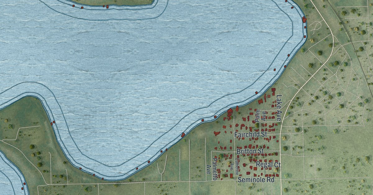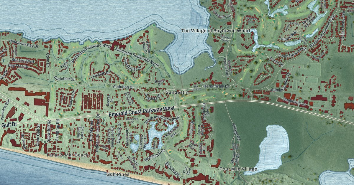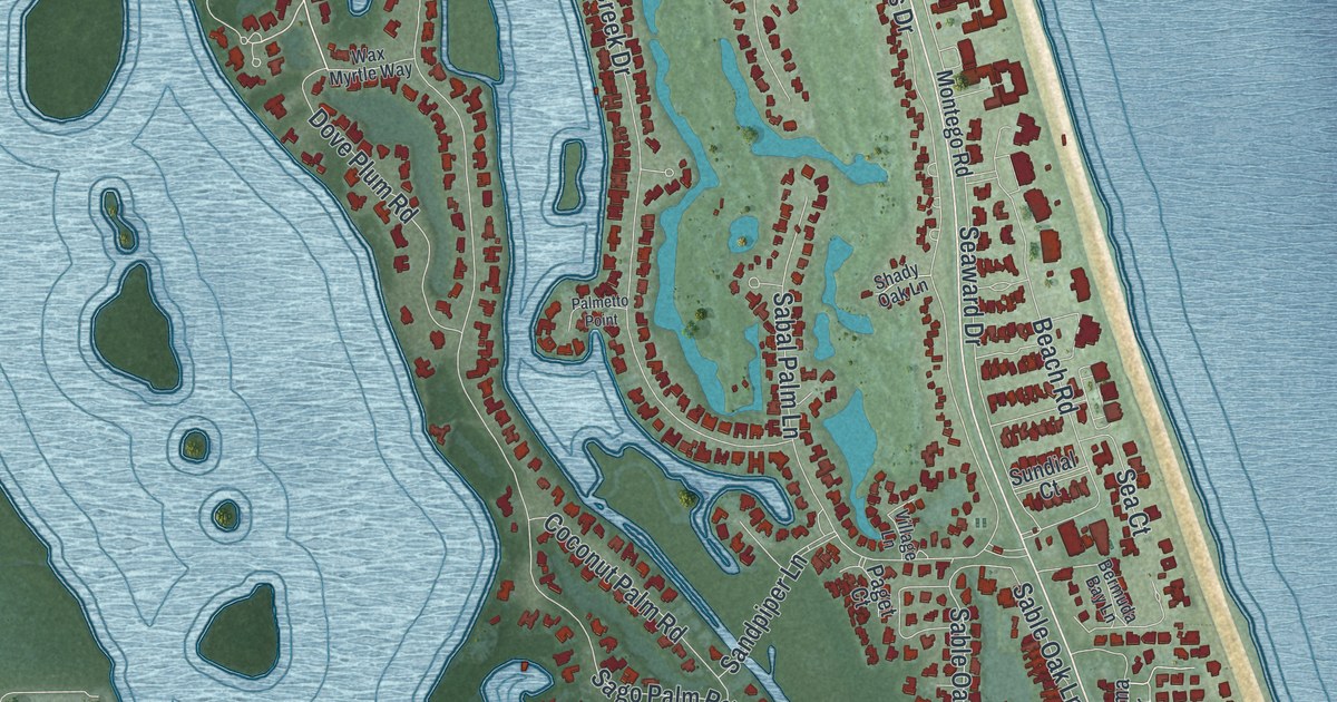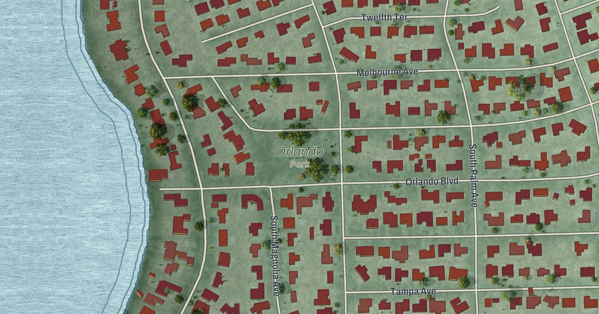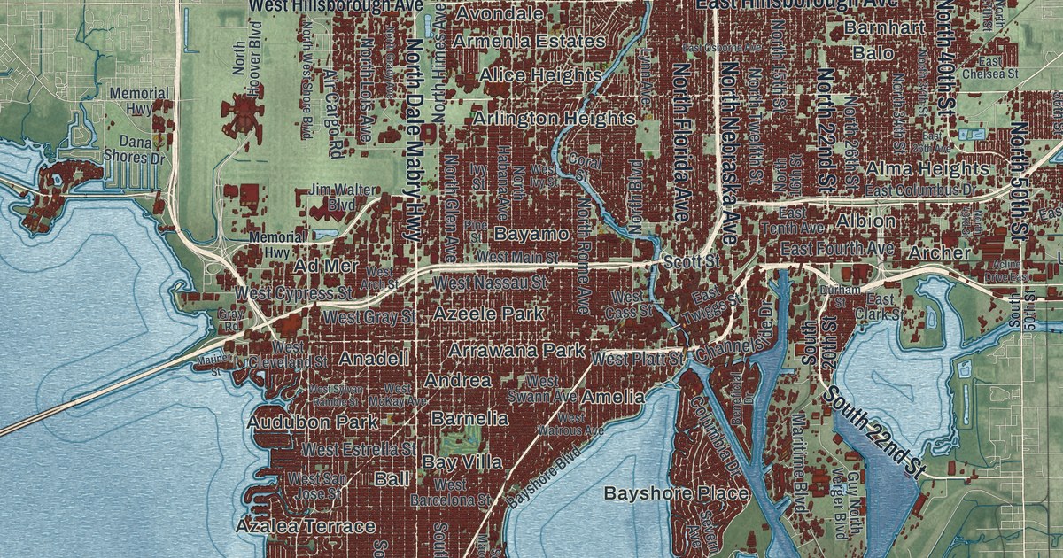
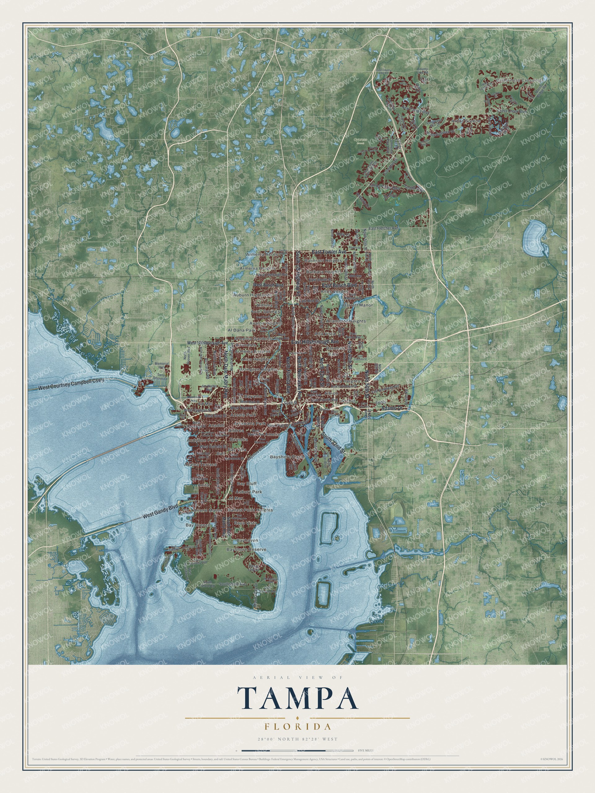
This beautifully detailed map of Tampa, Florida was created in 2026 using aerial imagery combined with modern topographical, census, street and landmark data. It’s a one-of-a-kind view of Tampa that combines accurate data with a vintage aesthetic. The map shows every building in its true location, many of the roads carry their names, and the shaded topographic relief shows the shape of the land.
Explore an aerial view of Tampa, Florida
On the map you’ll find Wilderness Crossings, Ad Mer, Al Dana Park, Al Mar, and Albion, along with Florida Avenue, Nebraska Avenue, Dale Mabry Highway, Adamo Drive, and more. If you look closely you can even find your house accurately drawn in its correct location. Zoom in on the preview to look for yours.
Did You Know?
In 1885 the Tampa Board of Trade lured Vicente Martinez Ybor to bring his cigar business from Key West. Tampa then had fewer than 5,000 people. Ybor built hundreds of small houses near his factory for Cuban and Spanish workers. The first cigars were rolled in Ybor City in 1886, and Tampa became the Cigar Capital of the World.
Take a closer look at the Tampa map
Names on this map
These names are printed on this map.
Places: Wilderness Crossings, Cypress Creek, Ad Mer, Al Dana Park, Al Mar, Albion, Alice Heights, Alma Heights, Almima, Alta Vista, Altamonte Heights, Altos Verdes, Amelia, Anadell, Andrea, Anita, Arbor Greene, Archer, Arlene Manor, Arlington Heights, Armenia Acres, Armenia Estates, Armenia Gardens, Armenia Heights, Arrawana Park, Asbury Park, Auburn Highlands, Audubon Park, Avalon Heights, Avon Springs, Avondale, Azalea Terrace, Azeele Park, Balincort Heights, Ball, Ballast Point Heights, Balo, Barbara Heights, Barnelia, Barnhart, Barrett Manor, Bay Bluff, Bay Breeze, Bay Villa, Baya Vista, Bayamo, Bayhaven, Bayshore Place and Bayshore Reserve.
Streets and roads: South US Highway 41, North Florida Avenue, North Nebraska Avenue, North Dale Mabry Highway, West Courtney Campbell Causeway, Adamo Drive, West Gandy Boulevard, East Busch Boulevard, East Fowler Avenue, East Hillsborough Avenue, South 22nd Street, North 22nd Street.
More street names, A to Z
98th Avenue, Acline Drive East, Air Cargo Road, Alumni Drive, Amberly Drive, Arbor Creek Drive, Ashley Street, Bayshore Boulevard, Beneficial Drive, Bridge Street, Burniston Drive, Canal Drive, Channelside Drive, Colchester Palms Drive, Columbia Drive, Commerce Park Boulevard, Commerce Street, Compton Drive, Coral Street, Cory Lake Drive, Cory Lake Isle Drive, Country Club Drive, County Line Road, Cross Creek Boulevard, Dana Shores Drive, Devon Park Drive, Durham Street, East 26th Avenue, East Annie Street, East Bird Street, East Broadway Avenue, East Chelsea Street, East Clark Street, East Columbus Drive, East County Line Road, East Fletcher Avenue, East Fourth Avenue, East Henry Avenue, East Osborne Avenue, East Regnas Avenue, East Tenth Avenue, East Twiggs Street, Emerald Chase Drive, Golf Course Avenue, Gray Road, Guy North Verger Boulevard, Hanger Loop Drive, Heritage Point Drive, Highwoods Preserve Parkway, Holly Court, Hunters Green Drive, Ivy Street, Jim Walter Boulevard, Lizards Tail Road, Lockwood Ridge Drive, Longwater Run Drive, Lucaya Drive, Lynn Avenue, Maclaurin Drive, Maple Drive, Marina Bay Drive, Mariner Street, Maritime Boulevard, McClelland Avenue, Meadow Pine Drive, Memorial Highway, Morris Bridge Road, Myrtle Street, New Tampa Boulevard, North 13th Street, North 15th Street, North 16th Street, North 18th Street, North 26th Street, North 30th Street, North 34th Street, North 36th Street, North 37th Street, North 40th Street, North 43rd Street, North 46th Street, North 47th Street, North 50th Street, North 51st Street, North 52nd Street, North 56th Street, North Boulevard, North Boundary Boulevard, North Brooks Street, North Central Avenue, North Glen Avenue, North Grady Avenue, North Habana Avenue, North Himes Avenue, North Hoover Boulevard, North Hyaleah Road, North Lois Avenue, North Ola Avenue, North Rome Avenue, North Twelfth Street, North West Shore Boulevard, Old Town Drive, Orient Road, Picnic Island Boulevard, Pictorial Park Drive, Pine Street, Plantation Bay Drive, Portside Street, Port Tampa Drive, Richmond Place Drive, River Terrace, Scott Street, Severn Avenue, South 20th Street, South 50th Street, South Clark Avenue, South Dale Mabry Highway, South Himes Avenue, South Lois Avenue, South Macdill Avenue, South Manhattan Avenue, Southshore Avenue, South Shore Road, South Trask Street, South West Shore Boulevard, Tampa Palms Boulevard, Tampa Palms Boulevard West, Trout Creek Drive, Uceta, Umbria Hill Drive, West Arch Street, West Barcelona Street, West Boundary Street, West Busch Boulevard, West Cass Street, West Cleveland Street, West Cypress Street, West Estrella Street, West Euclid Avenue, West Flora Street, West Gray Street, West Henry Avenue, West Hillsborough Avenue, West Ivy Street, West Jean Street, West Linebaugh Avenue, West Main Street, West McKay Avenue, West Nassau Street, West Platt Street, West San Jose Street, West Swann Avenue, West Sylvan Ramble Street, West Tyson Avenue, West Watrous Avenue, West Wyoming Avenue, Wild Tamarind Drive, Yardley Way, Zion Street.
See it on a wall
The Tampa map as a framed print. Swipe for more.


This beautifully detailed map of Tampa makes an attractive addition to your office, library, or den, and it can even be used to teach children the geography and history of the area. It also makes a great gift for someone who left Tampa and still calls it home. When you’re done exploring, click here to get your copy of the Tampa map.