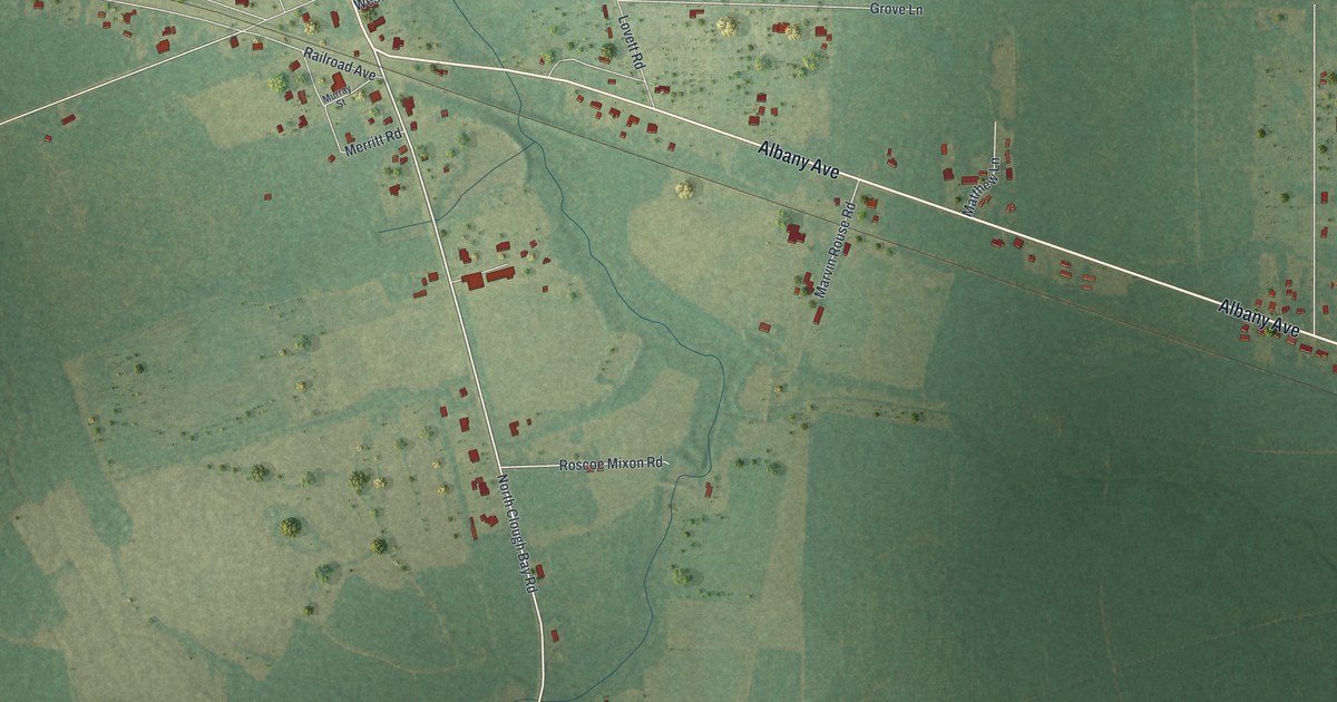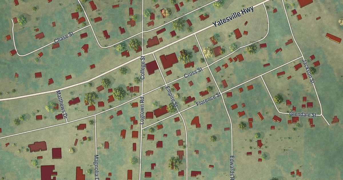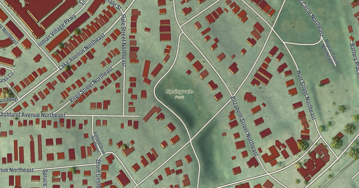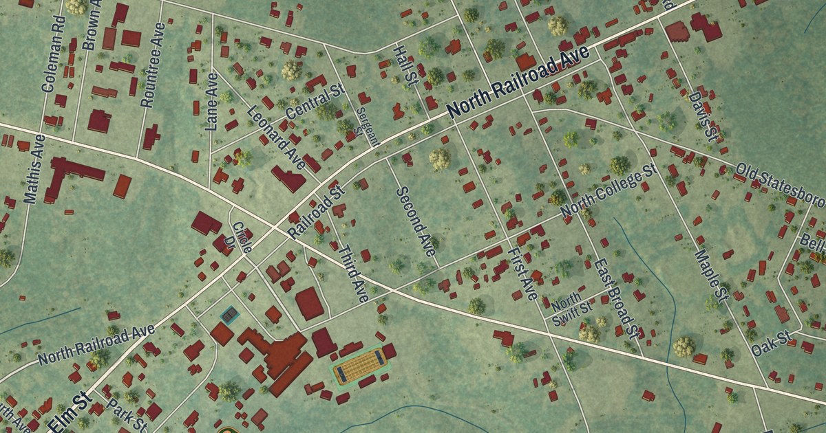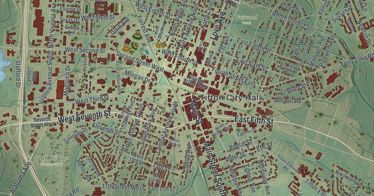
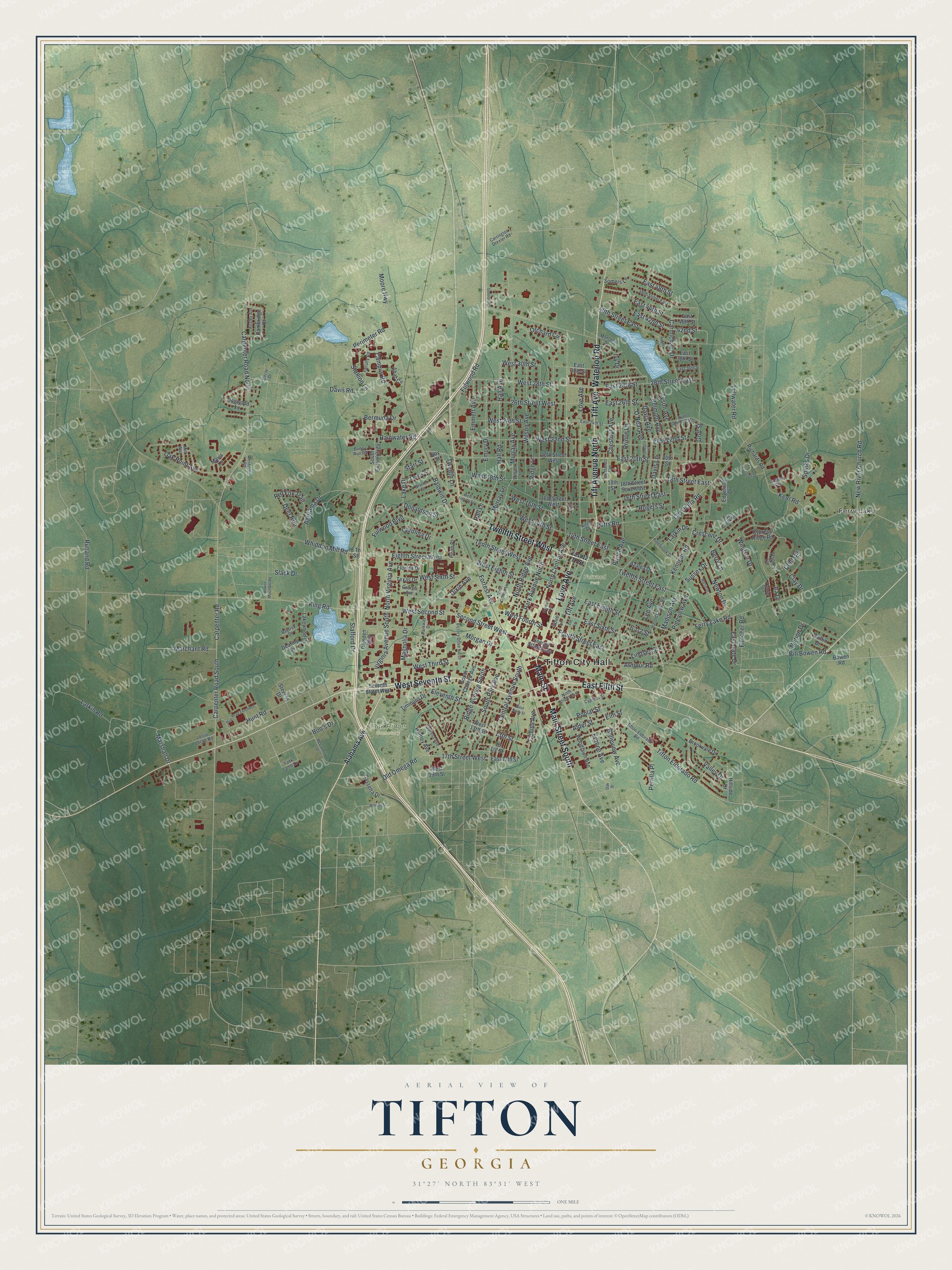
This beautifully detailed map of Tifton, Georgia was created in 2026 using aerial imagery combined with modern topographical, census, street and landmark data. It’s a one-of-a-kind view of Tifton that combines accurate data with a vintage aesthetic. The map shows every building in its true location, many of the roads carry their names, and the shaded topographic relief shows the shape of the land.
Explore an aerial view of Tifton, Georgia
On the map you’ll find Tifton City Hall, Ferry Lake, Fulwood Park, and Oak Ridge Cemetery, along with Seventh Street, Fifth Street, Love Avenue, Main Street, and more. If you look closely you can even find your house accurately drawn in its correct location. Zoom in on the preview to look for yours.
Did You Know?
Sawmill owner Henry H. Tift founded Tifton in 1872. He chose the spot where two railroads crossed, then in Berrien County. The town became a city in 1890. In 1905 it was made the seat of the new Tift County.
Take a closer look at the Tifton map
Names on this map
These names are printed on this map.
Places: Tifton City Hall, Ferry Lake, Fulwood Park and Oak Ridge Cemetery.
Streets and roads: West Seventh Street, East Fifth Street, Love Avenue, Main Street, Main Street South, Tift Avenue North, Tift Avenue, Twelfth Street West, Waterloo Road, Second Street West, West 28th Street, West Fourth Street.
More street names, A to Z
8 Th Street, 13th Street, 14th Street East, 16th Street East, 16th Street West, 17th Street West, 18th Street, 18th Street East, 18th Street Southeast, 20th Street, 20th Street West, 24th Street East, 26th Street West, 28th Street East, 40th Street East, 42nd Street, 46th Street East, Abac Circle, Agrirama Drive, Alabama Avenue, Alder Street, Ansley Avenue, Armour Road, Aubrey Lane, Azalea Drive, Baldwin Drive, Bay Street, Baytree Drive, Belleview Avenue, Belmont Avenue, Bermuda Drive, Berry Lane, Bill Bowen Road, Boo's Drive, Bowen Marchant Road, Bowen Road, Branch Street, Brookvale Drive, Bunny Run Road, Cambridge Court, Camden Way, Campus Road, Carmichael Drive, Carolina Drive, Carpenter Road, Carpenter Road North, Carpenter Road South, Carrington Drexler Road, Cassetta Drive, Central Avenue South, Central Love, Centry Lane, Chestnut Avenue, Chestnutt Avenue, Circle Drive, Clay Drive, Clint Circle, Collins Avenue, Crescent Drive, Cypress Avenue, Cypress Ridge Road, Cypress Street, Davis Avenue, Davis Lane, Davis Road, Dearing Drive, Deer Run, Dixie Avenue, Dogwood Lane, Donaldson Street, East 12 Th Street, East 17th Street, East 20th Street, East 22nd Street, East 24th Street, East 26th Street, East 28th Street, East 30th Street, East 36th Street, East 38th Street, East 42nd Street, East 44th Street, East 46th Street, East 48th Street, East Eighth Street, East Gate Drive, East Sixth Street, Edgefield Drive, Eighth Street West, Eleventh Street, Elm Street, Emmett Avenue, Emory Drive, Ermine Avenue, Faculty Road, Ferry Lake Road, Fletcher Road, Florida Drive, Forrest Avenue, Fourth Street East, Fulwood Boulevard, Fulwood Road, Georgia Avenue, Goff Street, Golden Way, Griffin Drive, Hall Avenue, Hall Lane, Hall Road, Harold Couch Road, Hartley Avenue, Hillside Drive, Hunt Road, Hunt Road Extended, Ira Drive, Ivy Drive, Kennedy Road, Kent Road, King Road, Lake Drive, Lakewood Drive, Larkin Drive, Larkin Road, Lee Avenue, Leslie Locke Road, Lewis Street, Lindsey Street, Love Lane, Lullwater Road, Madison Avenue, Magnolia Drive, Marchant Road, Marion Drive, Marshall Drive, Martin Drive, Mavis Lane, McCormick Drive, Mill Way, Montana Drive, Moore Highway, Morgan Drive, Murray Avenue, Murray Lane, New River Church Road, Newton Drive, Ninth Street East, North Central Avenue, North College Avenue, North Ridge Avenue, North Virginia Avenue, O'Neal Avenue, Oak Point Avenue, Oak Street, Olde Creek Road, Old Ocilla Road, Old Omega Road, Oneal Lane, Orchard Circle, Osprey Circle, Outerbridge, Park Avenue North, Parkway Drive, Penn Place, Perimeter Road, Pertilla Place, Pinebrook Drive, Pineview Avenue, Poplar Street, Potts Road, Prince Avenue, Prince Lane, Rainwater Road, Red Fox Trail, Richards Drive, Richards Road, Ridge Avenue South, Ridge Lane, Rogers Street, Rutland Road, Second Street East, Seventh Street West, Slack Drive, Somers Lane, South College Avenue, South Entomology, South Park Avenue, Spinks Drive, Stafford Drive, Stallion Lane, Starr Street, Stevens Drive, Sussex Drive, Tanner Lane, Tenth Street West, Texas Drive, Tift Lane, Tifton-Eldorado Road, Tifton Eldorado Road, Timmons Drive, Twelfth Lane, Twelfth Street East, Tyson Avenue, Valley Drive, Victor Street, Victory Drive North, Virginia Avenue South, Watson Street, West 13th Street, West 14th Street, West 14th Th Street, West 16th Street, West 18th Street, West 19th Street, West 22nd Street, West 24th Street, West 30th Street, West Eighth Street, West Ninth Street, Westover Road, West Second Street, West Sixth Street, West Third Street, Whiddon Mill Road, Wilson Avenue, Wilson Lane, Windsor Drive, Woodlawn Avenue, Yank Lamb Drive.
See it on a wall
The Tifton map as a framed print. Swipe for more.


This beautifully detailed map of Tifton makes an attractive addition to your office, library, or den, and it can even be used to teach children the geography and history of the area. It also makes a great gift for anyone who grew up in Tifton or moved away. When you’re done exploring, click here to get your copy of the Tifton map.