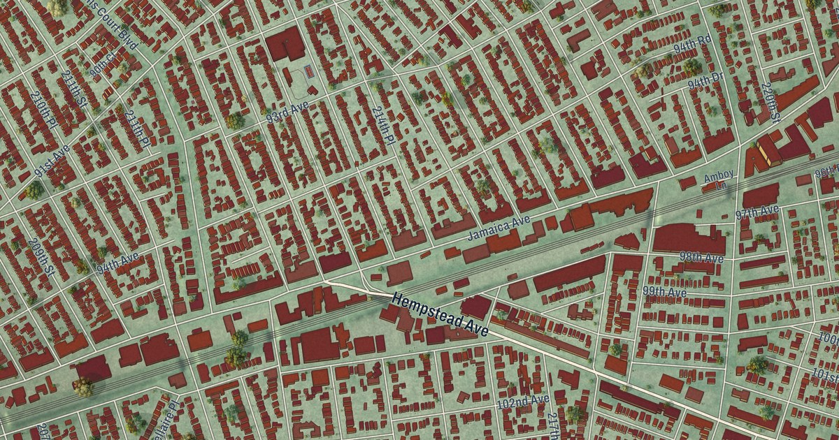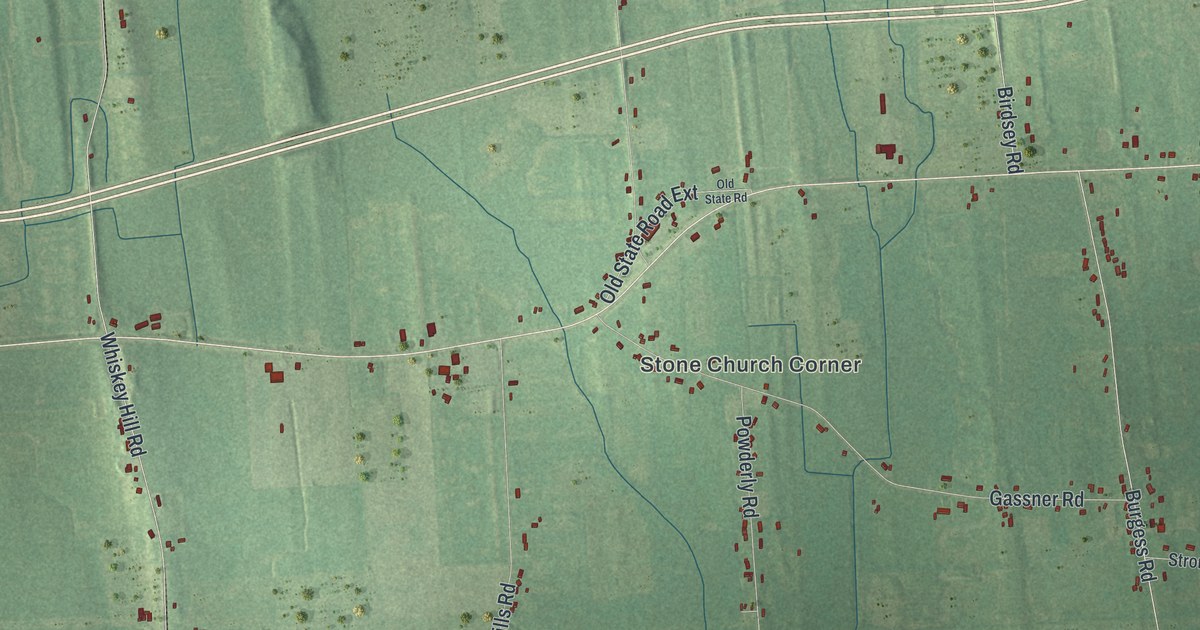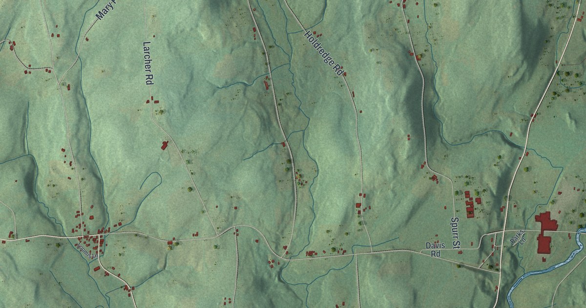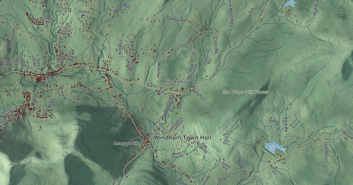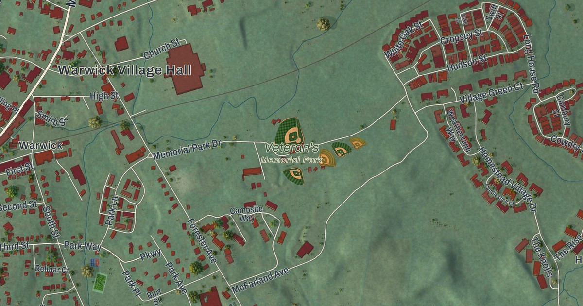
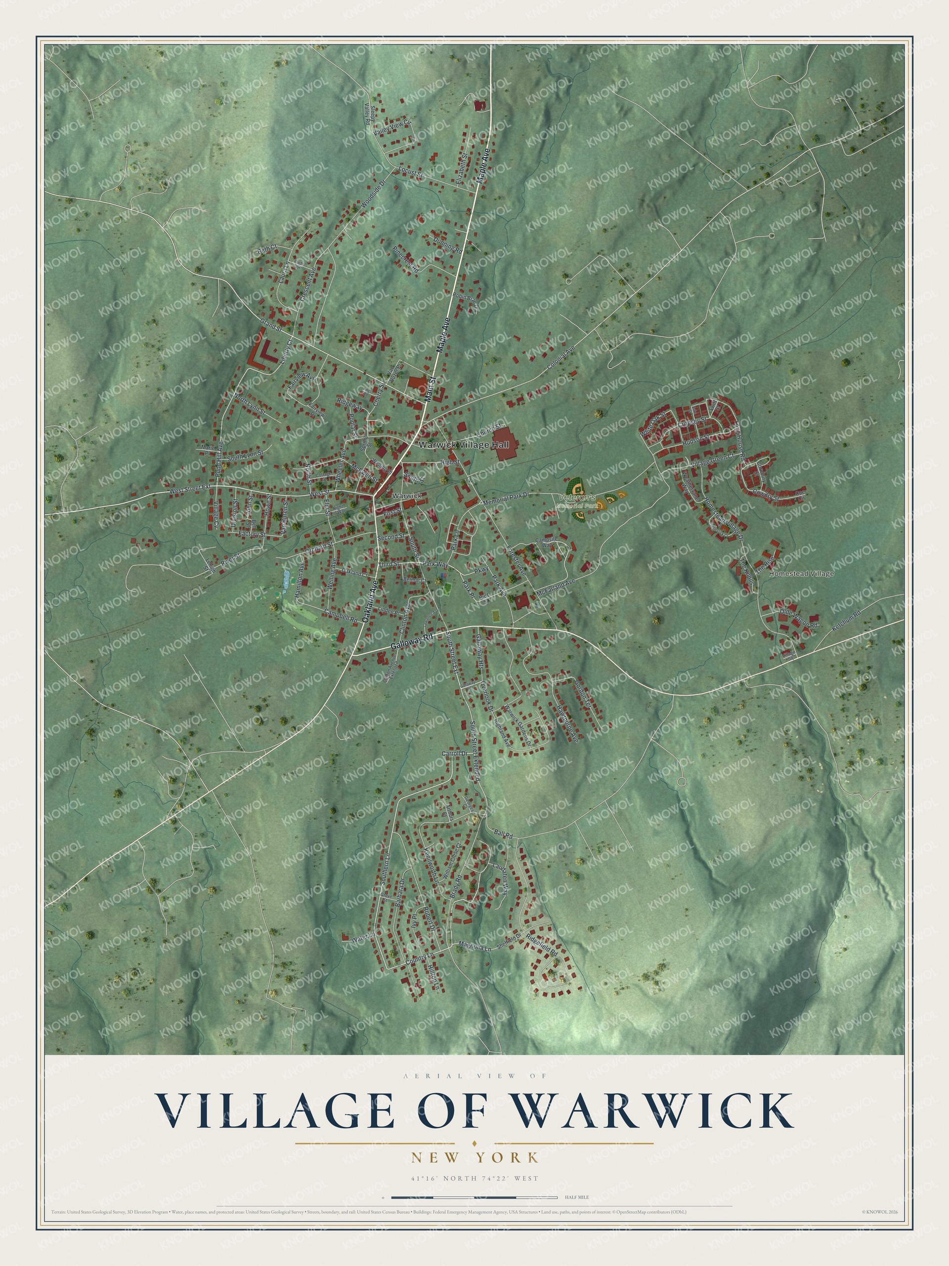
This beautifully detailed map of the Village of Warwick, New York was created in 2026 using aerial imagery combined with modern topographical, census, street and landmark data. It’s a one-of-a-kind view of the Village of Warwick that combines accurate data with a vintage aesthetic. The map shows every building in its true location, many of the roads carry their names, and the shaded topographic relief shows the shape of the land.
Explore an aerial view of the Village of Warwick, New York
On the map you’ll find Warwick Village Hall, Homestead Village, and Veteran’s Memorial Park, along with Main Street, Maple Avenue, Galloway Road, Oakland Avenue, and more. If you look closely you can even find your house accurately drawn in its correct location. Zoom in on the preview to look for yours.
Did You Know?
Warwick grew as a farm stop on the King’s Highway from Philadelphia to Newburgh. During the Revolution, Martha Washington stayed at Baird’s Tavern here. After losing at Saratoga, British General Burgoyne and his army camped at the edge of the village.
Take a closer look at the Village of Warwick map
Names on this map
These names are printed on this map.
Places: Warwick Village Hall, Homestead Village, Veteran's Memorial Park and Warwick.
Streets and roads: Main Street, Maple Avenue, Galloway Road, Oakland Avenue, Laudaten Way, Magnolia Lane, Country Lane, West Street, Southern Lane, Liberty Court, West Street Extension, South Street Extended.
More street names, A to Z
Arthurs Court, Aske Street, Ball Road, Barbara Drive, Bell Street, Belmar Court, Beth Court, Brady Road, Burt Street, Campbell Road, Campsite Way, Candlestick Court, Carroll Drive, Cherry Street, Church Street, Clinton Avenue, Clinton Avenue Extended, Coe Circle, Colonial Avenue, Cornbury Street, Cottage Street, Cowdry Street, Crescent Avenue, Cropsey Street, Division Street, Dunning Road, Elizabeth Street, Elm Street, Factory Street, Fairview Avenue, Fairview Drive, First Street, Forester Avenue, Gallaway Heights, Galloway Heights, Georges Court, Gordon Terrace, Grand Street, Grove Street, Hamilton Avenue, Hawthorne Avenue, Highland Avenue, High Street, Hilltop Lane, Homestead Village Drive, Howe Street, Hudson Street, Ivy Place, John Street, Kenilworth Lane, Ketchum Road, Kings Road, Laura Lane, Lawrence Avenue, Lehigh Street, Linden Place, Locust Street, Long House Road, Marie Place, McEwen Street, McFarland Avenue, Memorial Park Drive, North Lynn Street, North Street, Oakland Court, Olde Wagon Road, Orchard Street, Overlook Drive, Park Avenue, Park Lane, Park Place, Park Way, Parkway, Pinecrest Road, Pond Hill Avenue, Poplar Street, Rachel Drive, Ridgefield Road, Ridgeway, Right of Way, River Street, Robert Drive, Robin Brae Drive, Second Street, Sheffield Drive, Sleepy Valley Road, Smith Street, South Lynn Street, South Street, South Street Extension, Spring Street, Swift Street, The Knolls, The Rise, Third Street, Valley View Circle, Van Buren Street, Van Duzer Place, Village Cv, Village Green Court, Village Square, Warwick Gardens Drive, Water Lane, Weathervane Way, Welling Avenue, Welling Place, Wheeler Avenue, White Oak Street, William Close Court, Woodside Drive.
See it on a wall
The Warwick map as a framed print. Swipe for more.


This beautifully detailed map of the Village of Warwick makes an attractive addition to your office, library, or den, and it can even be used to teach children the geography and history of the area. It also makes a great gift for anyone who grew up in the Village of Warwick or moved away. When you’re done exploring, click here to get your copy of the Village of Warwick map.