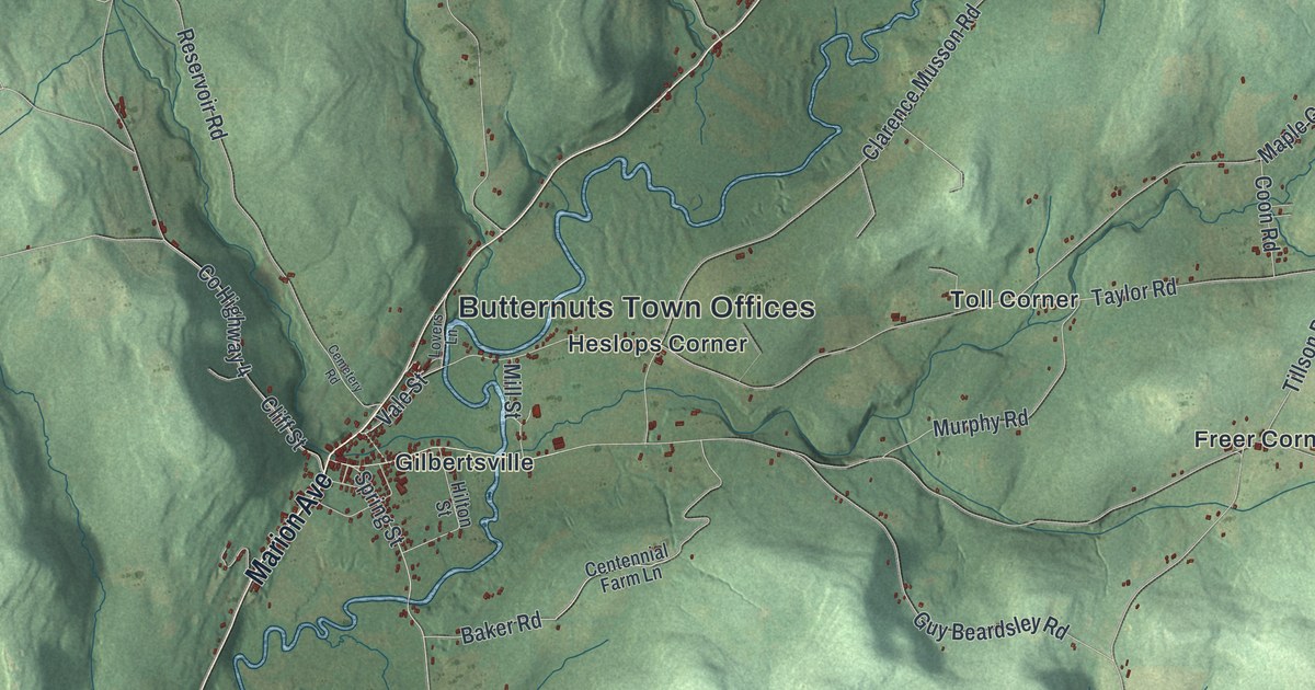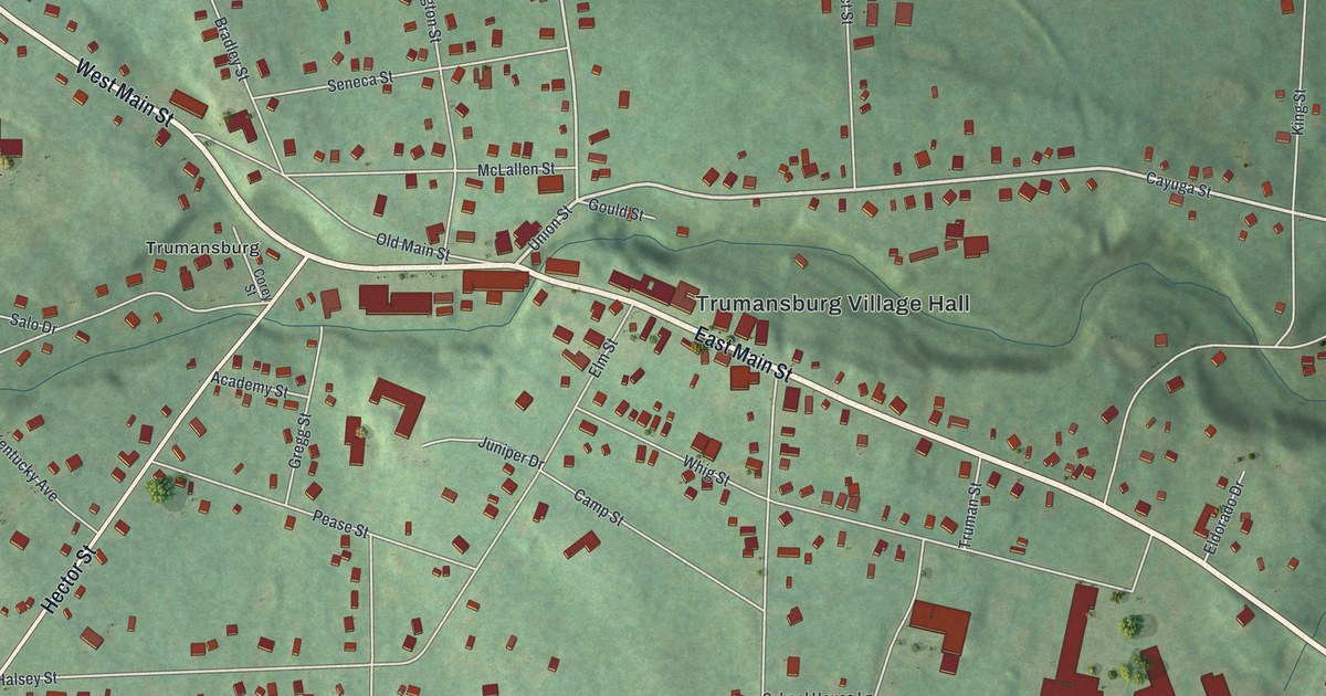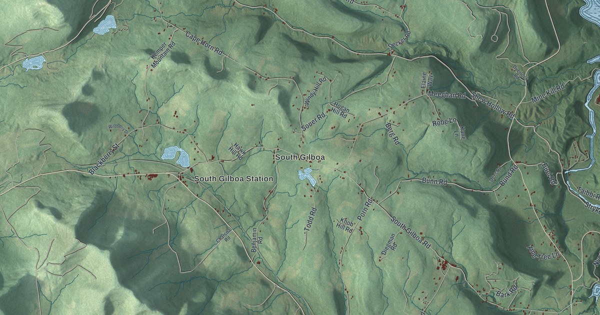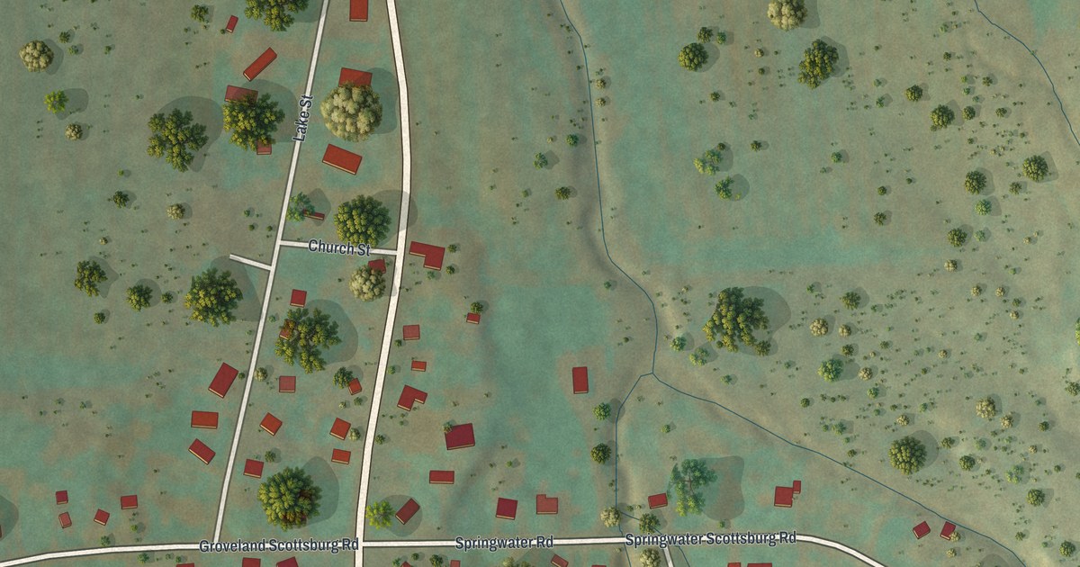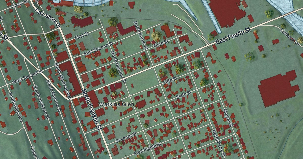
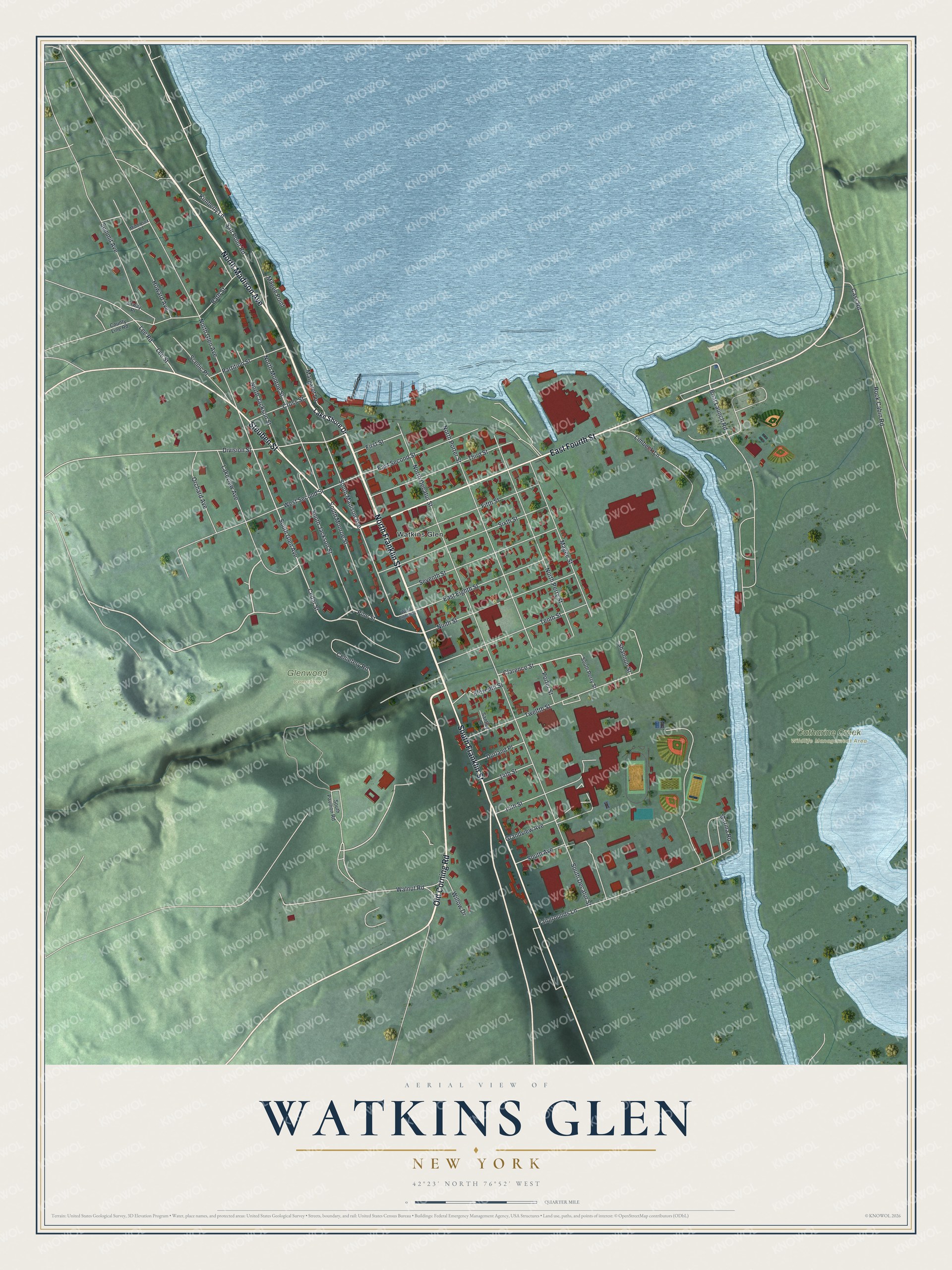
This beautifully detailed map of Watkins Glen, New York was created in 2026 using aerial imagery combined with modern topographical, census, street and landmark data. It’s a one-of-a-kind view of Watkins Glen that combines accurate data with a vintage aesthetic. The map shows every building in its true location, many of the roads carry their names, and the shaded topographic relief shows the shape of the land.
Explore an aerial view of Watkins Glen, New York
On the map you’ll find Catharine Creek Wildlife Management Area and Glenwood Cemetery, along with Franklin Street, Madison Avenue, Old Corning Road, Fourth Street, Steuben Street, and more. If you look closely you can even find your house accurately drawn in its correct location. Zoom in on the preview to look for yours.
Did You Know?
The village was named for its founder, Dr. Samuel Watkins, in honor of his contributions to the community. It adopted its current name, Watkins Glen, in 1926. That’s from the U.S. Geological Survey place names records.
Take a closer look at the Watkins Glen map
Names on this map
These names are printed on this map.
Places: Catharine Creek Wildlife Management Area, Glenwood Cemetery and Watkins Glen.
Streets and roads: North Franklin Street, North Madison Avenue, Old Corning Road, East Fourth Street, South Franklin Street, Steuben Street, Salt Point Road, Magee Point, Lakeview Avenue, Cedar Street, Kimberly Lane, South Glen Avenue.
More street names, A to Z
14th Street, 15th Street, Bath Street, Boat Launch Road, Cass Road, Cemetery Road, Clarence Street, County Line Road, Cross Street, Division Street, Durland Place, East Eighth Street, East Second Street, Eleventh Street, Erway Place, Fairgrounds Lane, Fifth Street, First Street, Grandview Avenue, Howard Avenue, Lake Shore Drive, Lee Road, Lee Street, Limbeck Lane, Magee Street, Margaret Lane, Marina Road, Middlesex Road, Ninth Street, North Decatur Street, North Glen Avenue, North Jackson Street, North Monroe Street, North Perry Street, North Porter Street, Orchard Avenue, Partition Street, Pine Street, Porter Street, Rock Cabin Road, Santley Lane, Scenic Place, Seventh Street, Shannon Street, Sixth Street, South Avenue, South Decatur Street, South Jackson Street, South Madison Avenue, South Monroe Street, South Pavilion Road, South Perry Street, Summit Avenue, Tenth Street, Third Street, Twelfth Street, Walnut Road, West Eighth Street, West Second Street, Willow Drive.
See it on a wall
The Watkins Glen map as a framed print. Swipe for more.


This beautifully detailed map of Watkins Glen makes an attractive addition to your office, library, or den, and it can even be used to teach children the geography and history of the area. It also makes a great gift for anyone with Watkins Glen roots. When you’re done exploring, click here to get your copy of the Watkins Glen map.