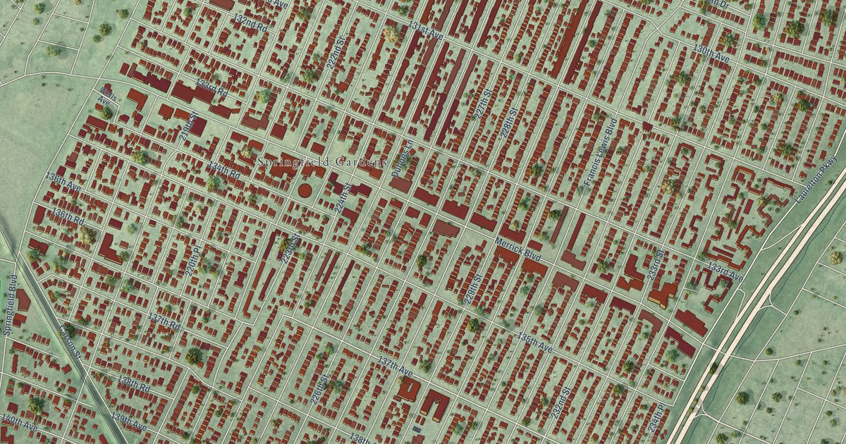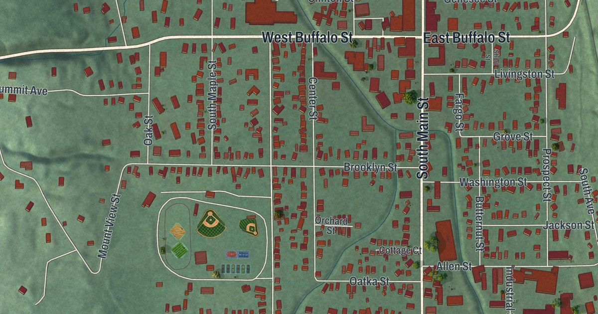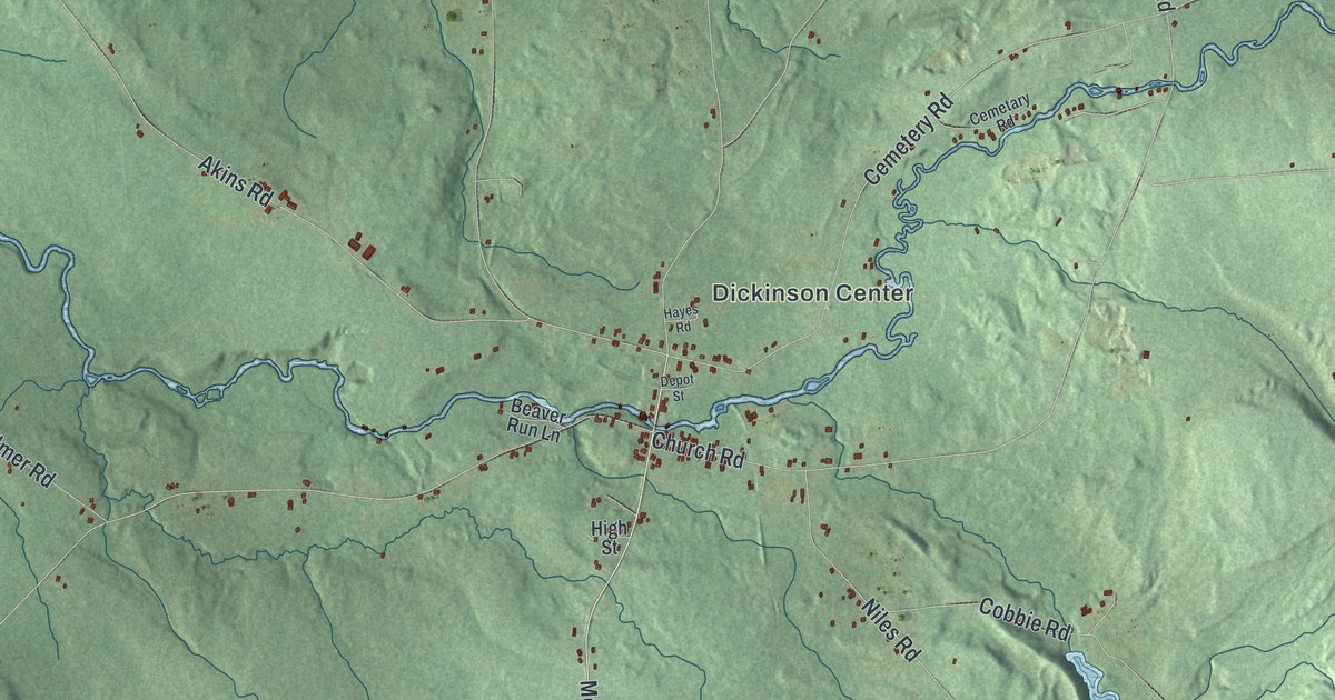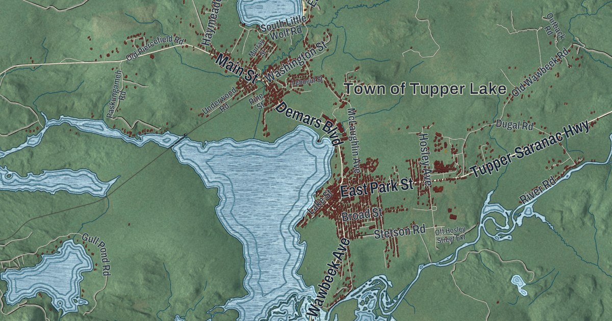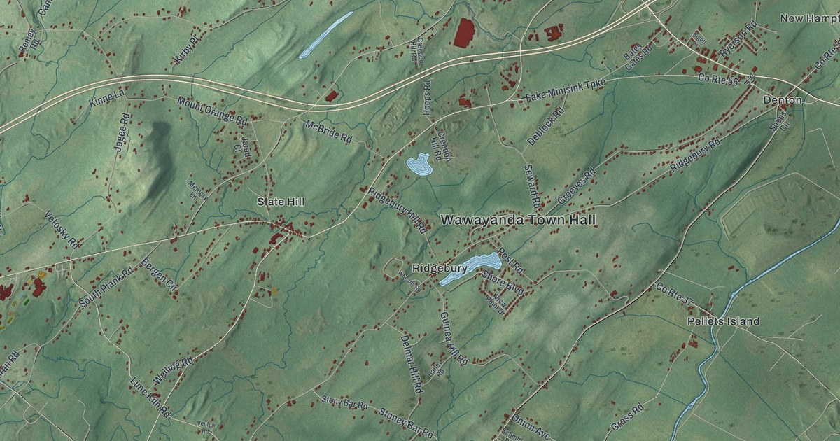
This beautifully detailed map of Wawayanda, New York was created in 2026 using aerial imagery combined with modern topographical, census, street and landmark data. It’s a one-of-a-kind view of Wawayanda that combines accurate data with a vintage aesthetic. The map shows every building in its true location, many of the roads carry their names, and the shaded topographic relief shows the shape of the land.
Explore an aerial view of Wawayanda, New York
On the map you’ll find Wawayanda Town Hall, New Hampton, Denton, Gardnerville, Millsburg, and Pellets Island, along with Dolsontown Road, Lime Kiln Road, Shore Boulevard, Ridgebury Road, and more. If you look closely you can even find your house accurately drawn in its correct location. Zoom in on the preview to look for yours.
Take a closer look at the Wawayanda map
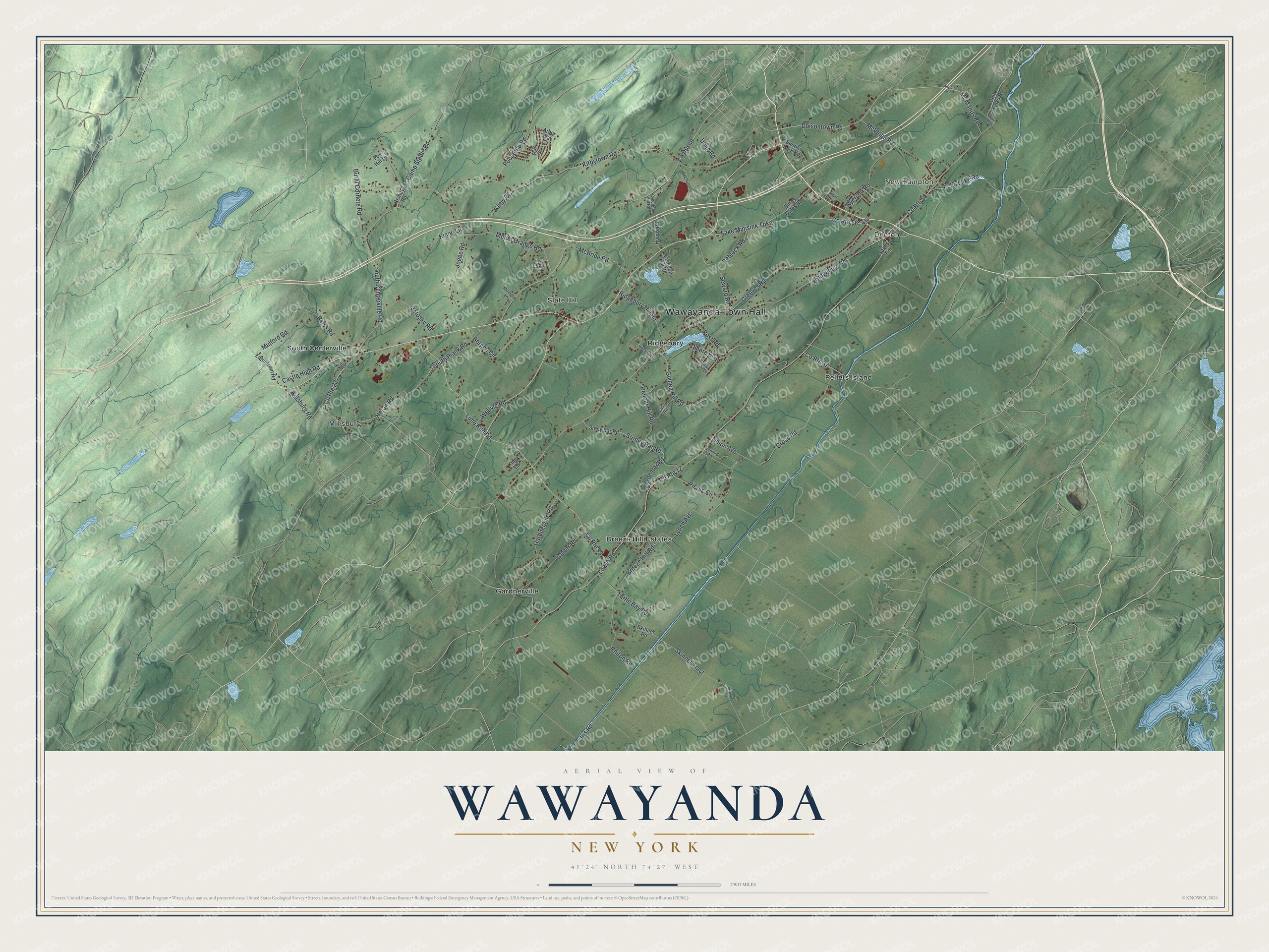
Names on this map
These names are printed on this map.
Places: Wawayanda Town Hall, New Hampton, Breeze Hill Estates, Denton, Gardnerville, Millsburg, Pellets Island, Ridgebury, Slate Hill and South Centerville.
Streets and roads: Dolsontown Road, County Route 12, Lime Kiln Road, County Route 22, Shore Boulevard, Ridgebury Road, Lower Road, Kirbytown Road, County Route 49, Mount Orange Road, South Centerville Road, Fake Minisink Turnpike.
More street names, A to Z
Airport Road, Arbor Way, Bailey Road, Bates Gates Road, Bergen Circle, Bigert Drive, Breeze Hill Road, Burnt Corners Road, Camp Stadie Road, Carpenter Road, Carter Road, Castle High Road, Chiron Road, County Route 37, County Route 50, County Route 56, County Route 93, Creeden Hill Road, Creedon Hill Road, Deblock Road, Delmar Hill Road, Eatontown Road, Echo Lake Road, Fox Hill Drive, Gardnerville Road, Golf Links Road, Greeves Road, Gross Road, Guinea Hill Road, Hoops Road, Horan Road, Iris Road, Jared Court, Jogee Road, Kings Lane, Kinne Lane, Kirby Place, Lewis Road, Lynch Avenue, McBride Road, McManus Road, McVeigh Road, Memory Lane, Millsburg Road, Mulford Road, Onion Avenue, Pierce Circle, Pocatello Road, Post Road, Reiss Road, Remey Road, Ridgebury Hill Road, Ryerson Road, Schmid Road, Seward Road, Skinner Road, Skinners Lane, Skinner Tract, Sly Place, Soons Circle, South Plank Road, Stoney Bar Road, Stony Bar Road, Sunrise Park Road, Turtle Bay Road, Uhlig Road, Venturi Road, Vetosky Road, View Point Drive, Vogt Lane, Wayne Drive, Welling Road, Wheatly Road.
See it on a wall
The Wawayanda map as a framed print. Swipe for more.


This beautifully detailed map of Wawayanda makes an attractive addition to your office, library, or den, and it can even be used to teach children the geography and history of the area. It also makes a great gift for someone who left Wawayanda and still calls it home. When you’re done exploring, click here to get your copy of the Wawayanda map.