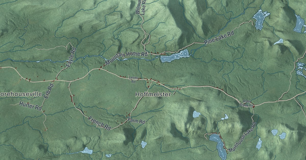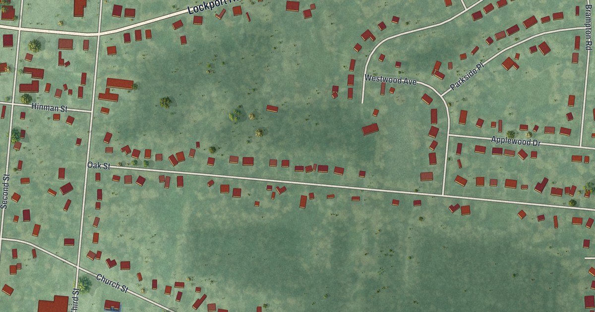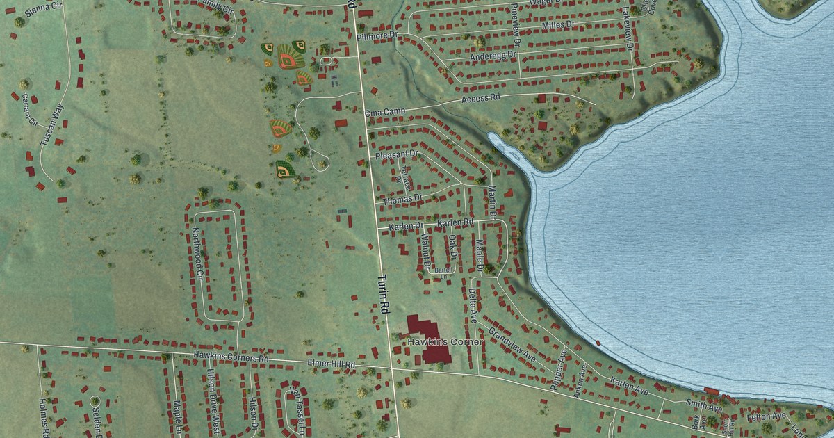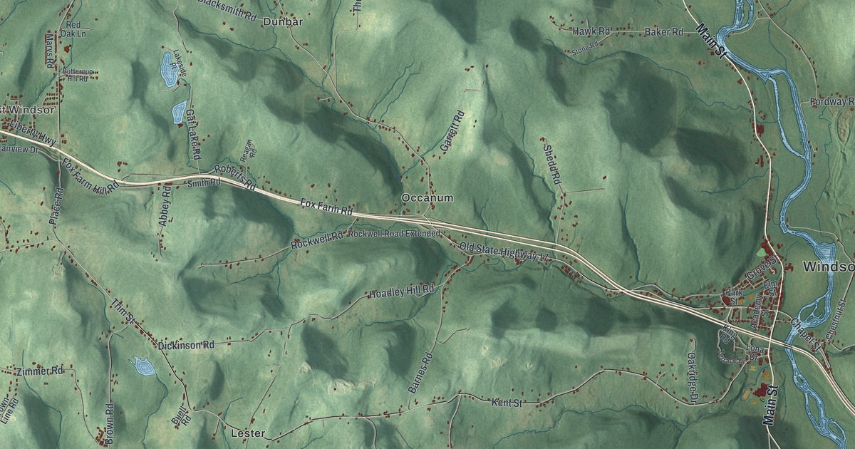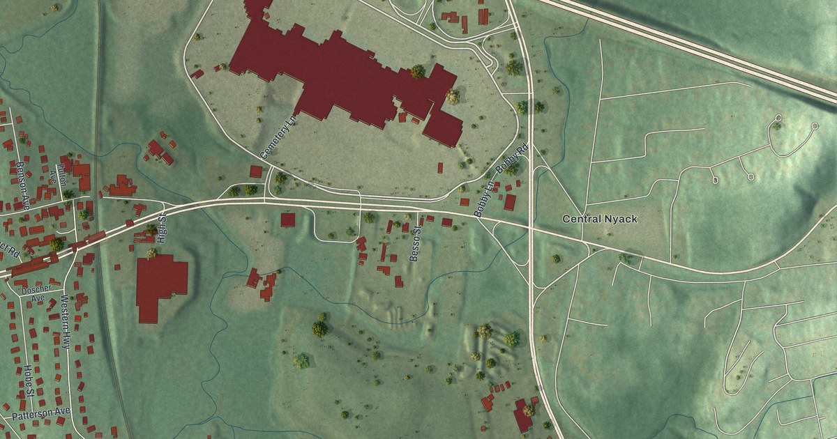
This beautifully detailed map of West Nyack, New York was created in 2026 using aerial imagery combined with modern topographical, census, street and landmark data. It’s a one-of-a-kind view of West Nyack that combines accurate data with a vintage aesthetic. The map shows every building in its true location, many of the roads carry their names, and the shaded topographic relief shows the shape of the land.
Explore an aerial view of West Nyack, New York
On the map you’ll find Hunter Place and Central Nyack, along with Palisades Center Drive, Nyack Road, Foxwood Road, Sickletown Road, and more. If you look closely you can even find your house accurately drawn in its correct location. Zoom in on the preview to look for yours.
Did You Know?
The hamlet was first called Clarksville and later MontMoor. It merged with a small village by the West Shore Railroad depot, which was also home to the Nyack Water Works. The combined place took the name West Nyack in 1891.
Take a closer look at the West Nyack map
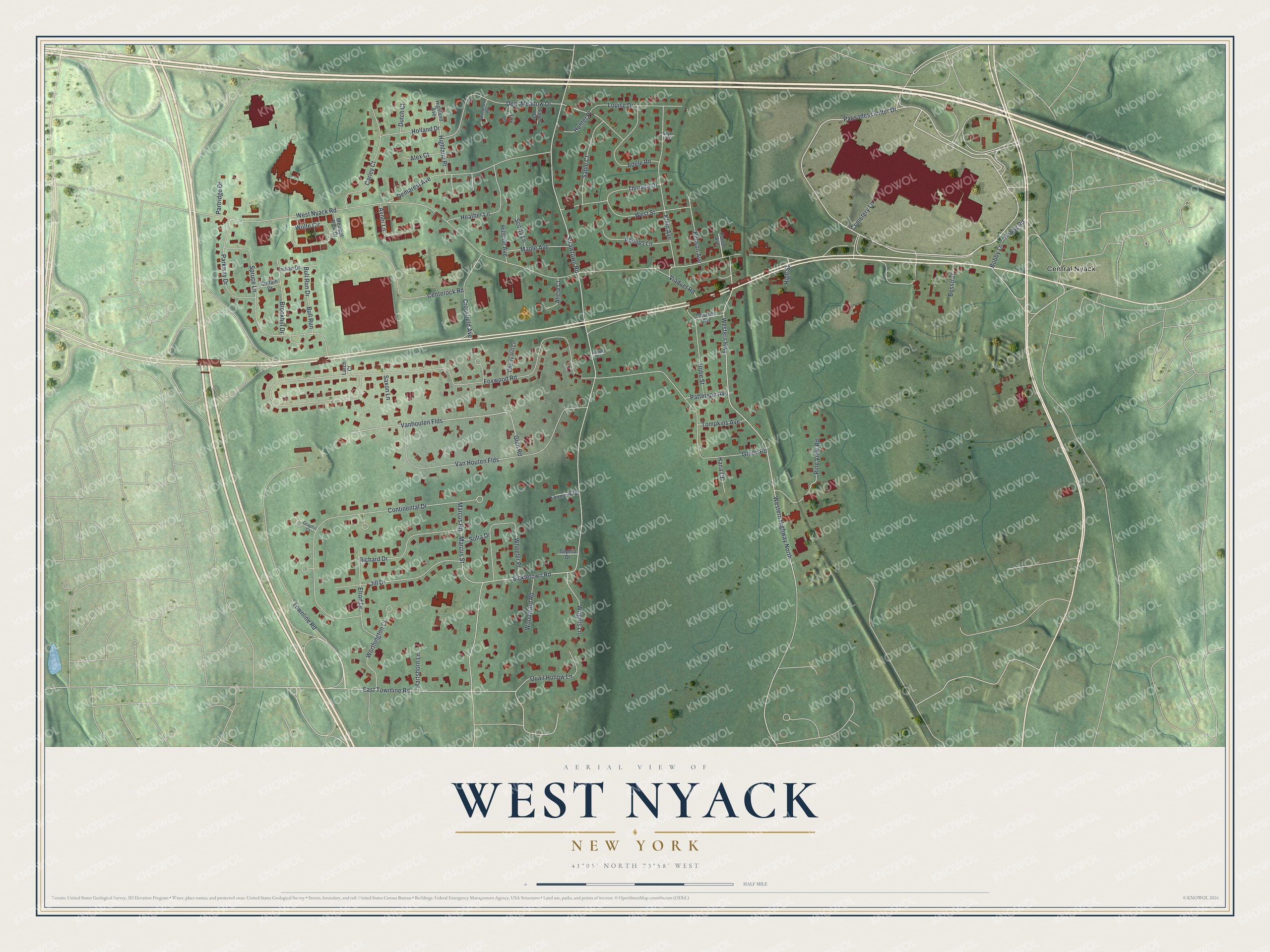
Names on this map
These names are printed on this map.
Places: Central Nyack.
Streets and roads: Palisades Center Drive, Hunter Place, West Nyack Road, Foxwood Road, Sickletown Road, Western Highway, Western Highway North, Continental Drive, Vanhouten Flds, Green Road, Townline Road, Glen Road.
More street names, A to Z
Adele Road, Alex Court, Alicia Court, Avner Lane, Benson Avenue, Besso Street, Bobby Lane, Bobby Road, Brookhill Drive, Bull Run, Bull Run Drive, Carley Court, Cemetery Lane, Centerock Road, Cherry Hill Lane, Crossfield Avenue, Curtain Drive, Deer Meadow Drive, Demarest Avenue, Doscher Avenue, Dutch Court, East Townline Road, Elrod Drive, Fairmont Terrace, Fawn Court, Fox Lane, Fulton Avenue, Graphic Court, Hana Court, Hartshorn Lane, Heather Lane, Highland Avenue, Highland Place, High Street, Hillside Avenue, Hobe Street, Holland Drive, Indian Drive, Jill Drive, Klein Avenue, Larch Court, Louise Drive, Maple Avenue, Marcus Road, Marcus Street, Medical Park Drive, Parkway Drive, Partridge Drive, Patterson Avenue, Phillips Lane, Pine View Road, Quail Hollow Lane, Richard Drive, Sable Court, Saxon Lane, Sayer Court, Scotty Lane, Sofia Drive, Sophia Drive, Spruce Lane, Strawtown Road, Theresa Drive, Timothy Court, Tompkins Avenue, Van Houten Flds, Viaduct Road, West Street, Wheeler Place, Wolfe Circle, Woodcock Road, Woodward Road, Worthington Court, Wrights Lane.
See it on a wall
The West Nyack map as a framed print. Swipe for more.


This beautifully detailed map of West Nyack makes an attractive addition to your office, library, or den, and it can even be used to teach children the geography and history of the area. It also makes a great gift for someone who left West Nyack and still calls it home. When you’re done exploring, click here to get your copy of the West Nyack map.