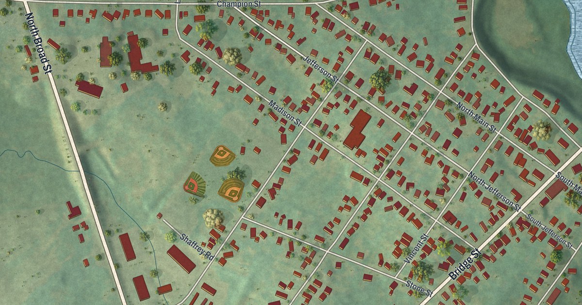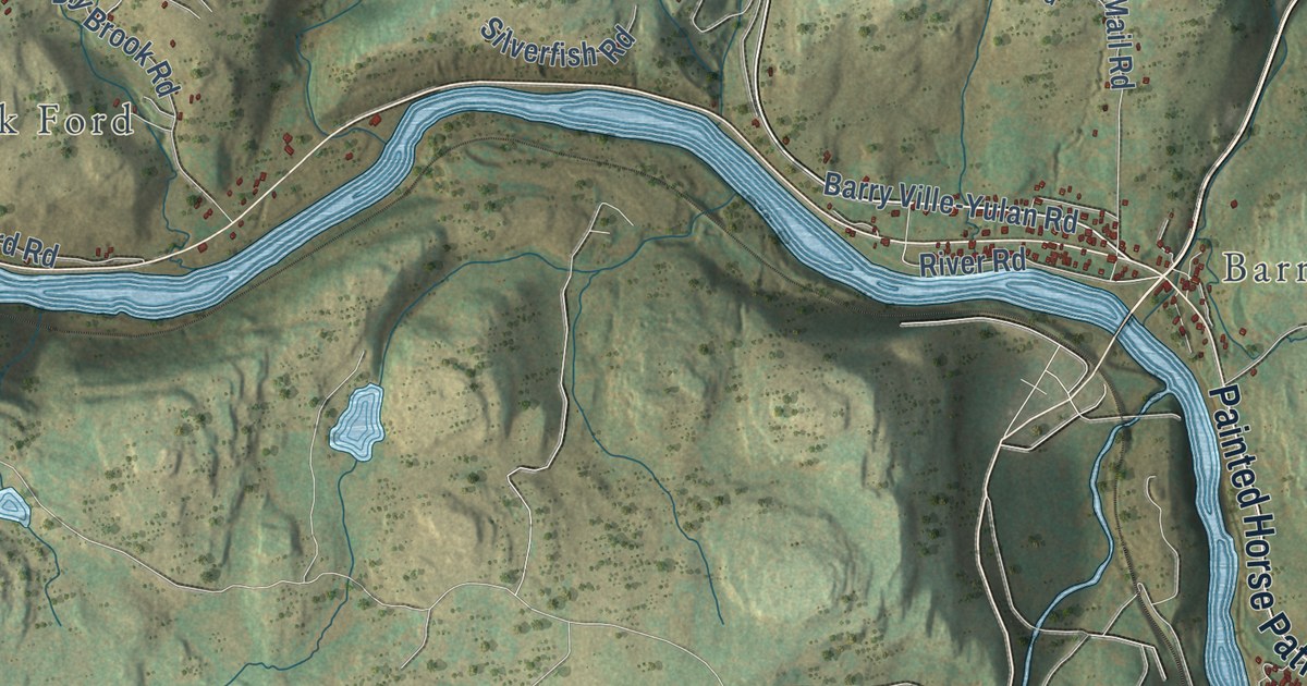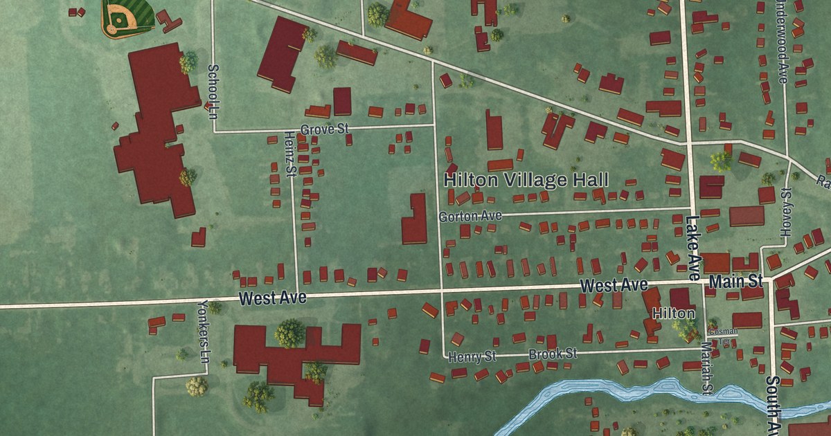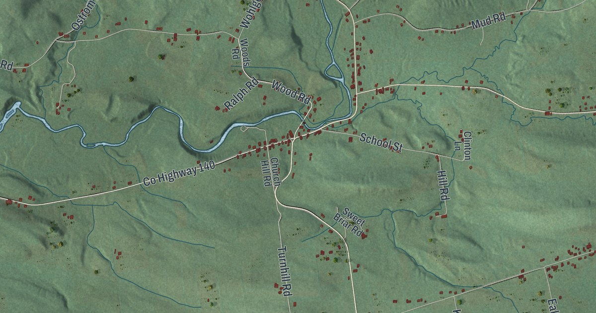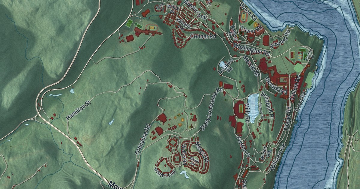
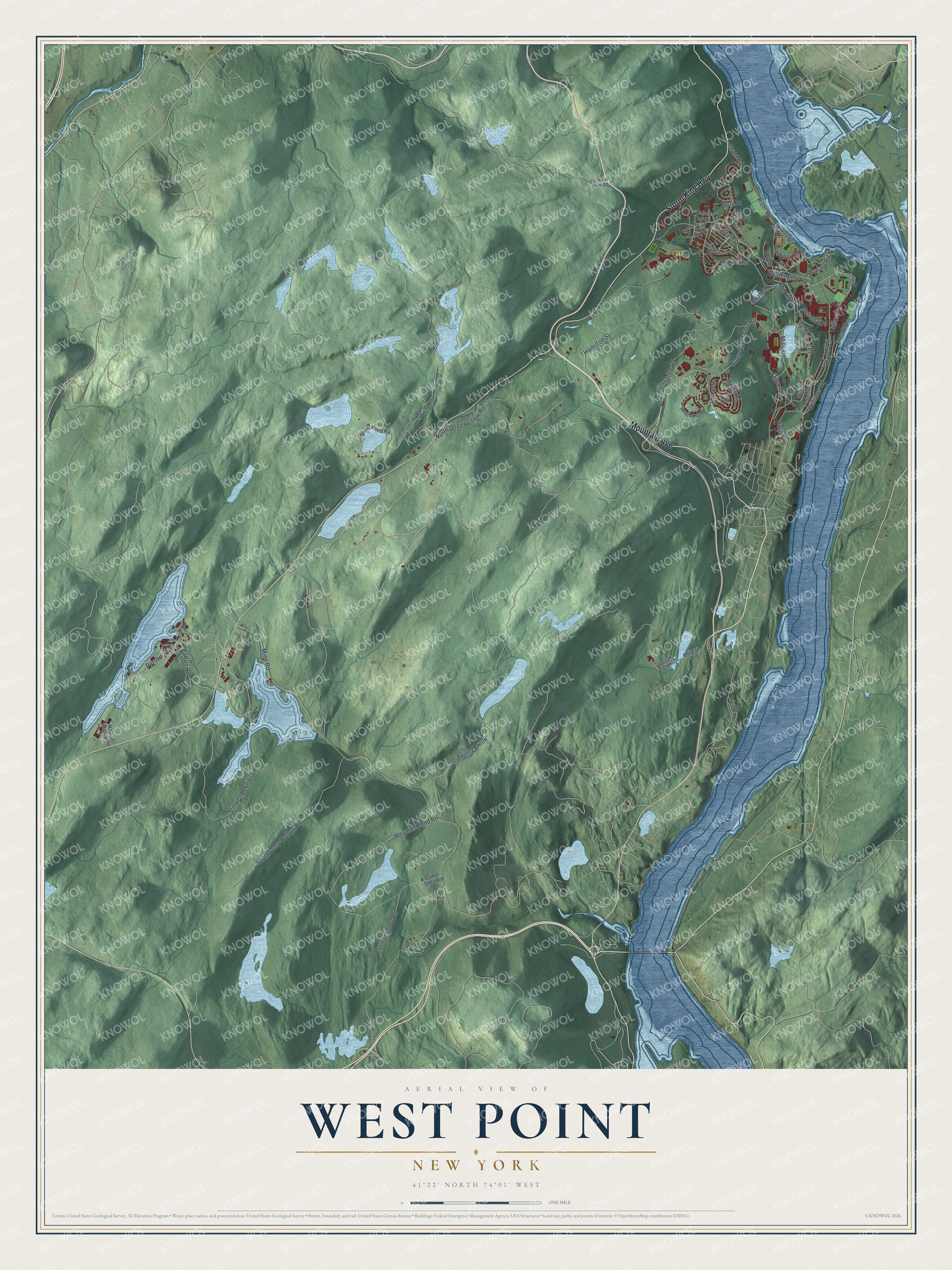
This beautifully detailed map of West Point, New York was created in 2026 using aerial imagery combined with modern topographical, census, street and landmark data. It’s a one-of-a-kind view of West Point that combines accurate data with a vintage aesthetic. The map shows every building in its true location, many of the roads carry their names, and the shaded topographic relief shows the shape of the land.
Explore an aerial view of West Point, New York
On the map you’ll find Storm King Highway, Mountain Avenue, Washington Road, Biddle Loop, Thayer Road, and more. If you look closely you can even find your house accurately drawn in its correct location. Zoom in on the preview to look for yours.
Did You Know?
In 1778 Patriot soldiers laid a huge iron chain across the Hudson River here. It was meant to keep British warships from sailing upriver. The British never put it to the test. George Washington called West Point the most important post in America. In 1802 the United States Military Academy opened here.
Take a closer look at the West Point map
Names on this map
These names are printed on this map.
Streets and roads: Storm King Highway, Mountain Avenue, Washington Road, Biddle Loop, Thayer Road, Cranberry Brook, Stony Lonesome Road, Mine Road, Fenton Place, Mills Road, North Deep Hollow Road, Hamilton Street.
More street names, A to Z
Bailey Loop, Barnard Loop, Barry Road, Bog Meadow Road, Camp Shea Road, Clinton Place, Conner Road, Cullum Road, Delafield Road, Derussy Road, Dunover Court, Ernst Road, Grant Road, Heath Loop, Howard Road, Meigs Road, Merritt Road, Morgan Farm Road, Morgan Road, Natural Bridge Road, Old West Point Road, Ordnance Road, Patch Road, Patton Road, Pershing Road, Queensboro Road, River Road, Rogers Place, Round Pond Road, Schofield Place, South Deep Hollow Road, Stewart Road, Stillwell Lake Trail, Swift Road, Tower Road, Upton Road, Webb Road, Weyants Pond Road, Wilby Place, Williams Road, Wilson Road, Winans Road, Worth Place, Wyllys Road.
See it on a wall
The West Point map as a framed print. Swipe for more.


This beautifully detailed map of West Point makes an attractive addition to your office, library, or den, and it can even be used to teach children the geography and history of the area. It also makes a great gift for anyone who grew up in West Point or moved away. When you’re done exploring, click here to get your copy of the West Point map.