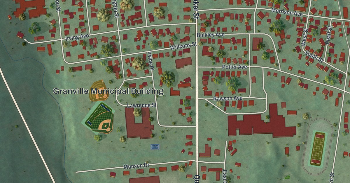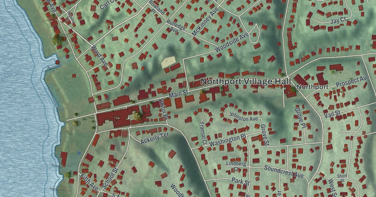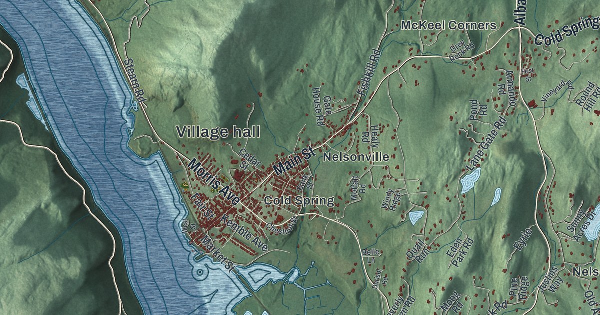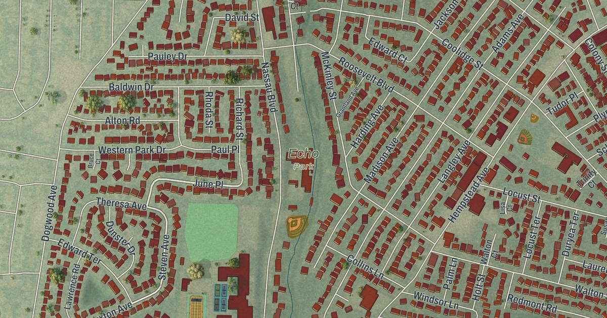
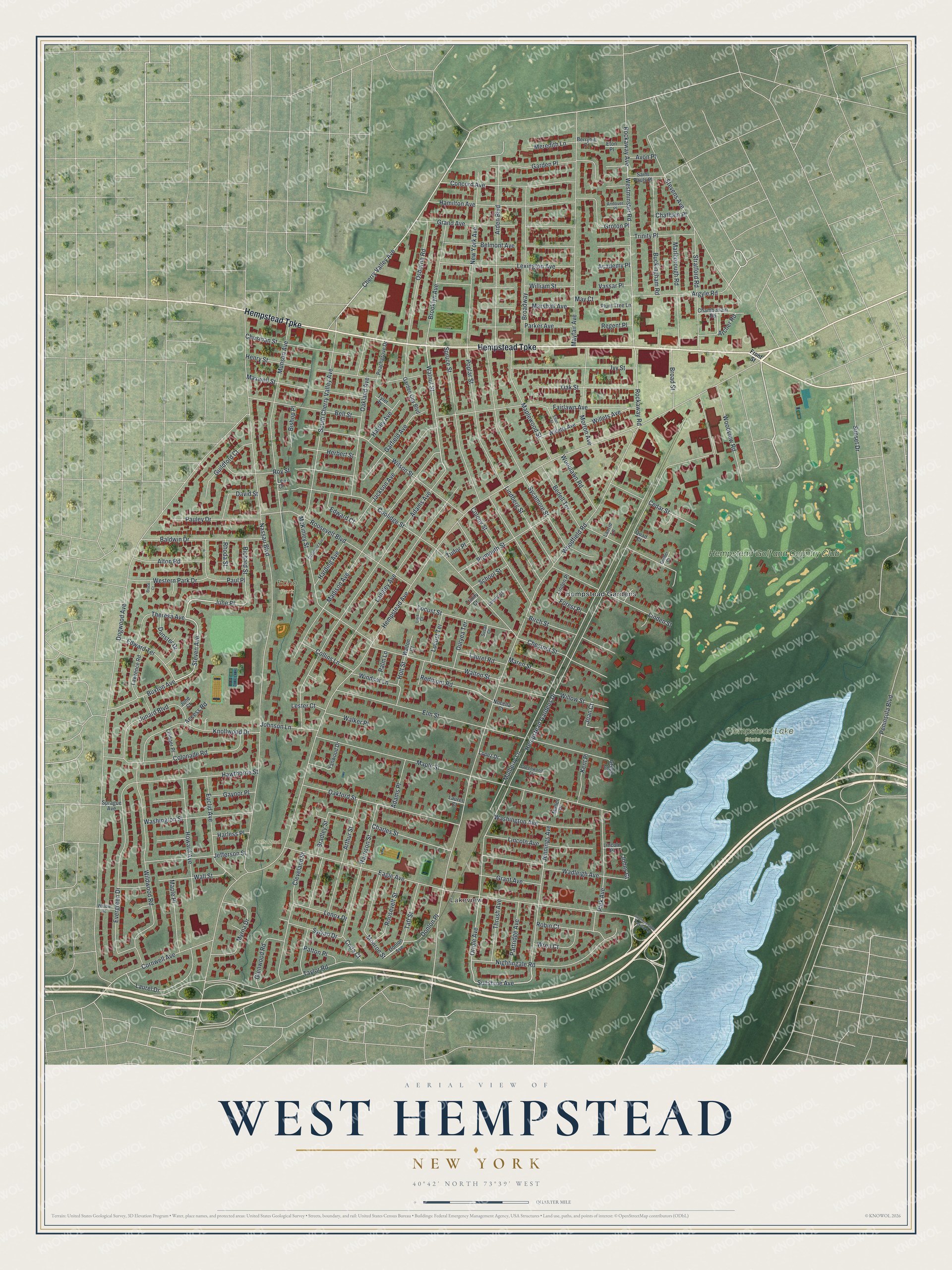
This beautifully detailed map of West Hempstead, New York was created in 2026 using aerial imagery combined with modern topographical, census, street and landmark data. It’s a one-of-a-kind view of West Hempstead that combines accurate data with a vintage aesthetic. The map shows every building in its true location, many of the roads carry their names, and the shaded topographic relief shows the shape of the land.
Explore an aerial view of West Hempstead, New York
On the map you’ll find June Place, Lakeview, Hempstead Gardens, Hempstead Lake State Park, Echo Park, and Halls Pond Park, along with Hempstead Turnpike, Front Street, Steven Avenue, Sunshine Avenue, and more. If you look closely you can even find your house accurately drawn in its correct location. Zoom in on the preview to look for yours.
Did You Know?
The name West Hempstead first showed up on maps in 1893, for a Long Island Railroad station. In 1962, the local Senior League baseball team played for the East in the world series. It beat New London, Ohio, 3-2. Then it won the title game against La Habra, California, 8-2.
Take a closer look at the West Hempstead map
Names on this map
These names are printed on this map.
Places: Lakeview, Hempstead Lake State Park, Echo Park, Halls Pond Park, Hempstead Gardens and Hempstead Golf and Country Club.
Streets and roads: Hempstead Turnpike, Cherry Valley Avenue, June Place, Steven Avenue, Sunshine Avenue, Walnut Street, Oriole Avenue, Hempstead Avenue, Dogwood Avenue, Woodfield Road, Hempstead Gardens Drive, Nassau Boulevard.
More street names, A to Z
Academy Place, Access Road, Adams Avenue, Adams Place, Alton Road, Andover Place, Archer Road, Arden Boulevard, Argyle Road, Arthur Street, Avon Place, Baldwin Drive, Bedell Terrace, Bell Street, Belmont Avenue, Berryhill Court, Birch Street, Bishop Place, Bradley Street, Broad Street, Broadway, Brooklyn Avenue, Bruce Court, Buckingham Road, Buxton Avenue, Cedar Street, Chamberlain Road, Charles Street, Chatham Place, Chesman Street, Chestnut Street, Cleveland Street, Coda Court, Collins Lane, Colonade Road, Colony Street, Concord Avenue, Coolidge Street, Cornwell Avenue, David Street, Donlon Avenue, Donlon Place, Dunster Drive, Duryea Terrace, Eagle Avenue, Edward Court, Edward Terrace, Elm Street, Elton Street, Eton Place, Euclid Avenue, Evergreen Drive, Fairlawn Avenue, Forest Place, Front Street, Garden City Boulevard, Garden Place, Garfield Avenue, Gaynor Place, Glenwood Road, Grand Avenue, Grant Avenue, Grantland Avenue, Greenwood Court, Gregg Court, Groton Place, Gruber Court, Guildford Court, Halsey Avenue, Hamilton Avenue, Harding Avenue, Harless Place, Harrison Street, Hawthorne Street, Henry Street, Herbert Street, Holt Street, Howard Avenue, Ivy Street, Jackson Avenue, Jefferson Street, Jennings Avenue, Joan Court, Johns Court, Johnson Lane, Junard Boulevard, June Court, Kent Place, Knollwood Drive, Langley Avenue, Laurel Court, Laurel Drive, Laurel Road, Laurie Lane, Lawrence Road, Lee Court, Lenox Drive, Lester Court, Lewis Street, Lexington Avenue, Lincoln Avenue, Lincoln Place, Lindberg Street, Linden Place, Linden Street, Lindner Place, Lisa Court, Locust Street, Locust Terrace, Lopez Drive, Madison Avenue, Maple Place, Maple Street, Maplewood Street, Maren Street, Marlborough Road, Marshall Avenue, Maxwell Street, May Court, Mayfair Avenue, McKinley Street, Meredith Lane, Monroe Street, Morton Avenue, Mulberry Lane, Muller Place, Munson Avenue, Myrna Drive, New York Avenue, Nightingale Road, Nocella Court, Oakford Street, Oakland Avenue, Oak Street, Osborne Road, Palm Lane, Park Avenue, Parker Avenue, Partridge Avenue, Patton Place, Pauley Drive, Paul Place, Peachgrove Drive, Peninsula Boulevard, Plum Tree Lane, Plymouth Street, Poplar Street, Quad Court, Redmont Road, Regent Place, Rhoda Street, Richard Street, Robin Court, Rockaway Avenue, Rockaway Road, Roosevelt Boulevard, Roosevelt Street, Roy Street, Saint Pauls Place, School Street, South Cherry Valley Avenue, Southern State Parkway Lp, Sprague Avenue, Spruce Street, Stevens Avenue, Stratford Road, Sunset Drive, Susan Court, Sycamore Street, Sylvan Drive, Taft Street, Tanwood Drive, Taylor Road, Theresa Avenue, Thrush Avenue, Trinity Court, Trinity Place, Tudor Place, Tyler Place, Vassar Place, Wadleigh Avenue, Walker Place, Wall Street, Walton Court, Walton Street, Washington Avenue, Washington Street, Western Park Drive, Westminster Road, Wildwood Road, Willets Avenue, Willetts Avenue, William Street, Willow Road, Willow Street, Wilson Street, Windsor Lane, Woodlawn Road, Woodview Road, Wren Court.
See it on a wall
The West Hempstead map as a framed print. Swipe for more.


This beautifully detailed map of West Hempstead makes an attractive addition to your office, library, or den, and it can even be used to teach children the geography and history of the area. It also makes a great gift for someone who left West Hempstead and still calls it home. When you’re done exploring, click here to get your copy of the West Hempstead map.