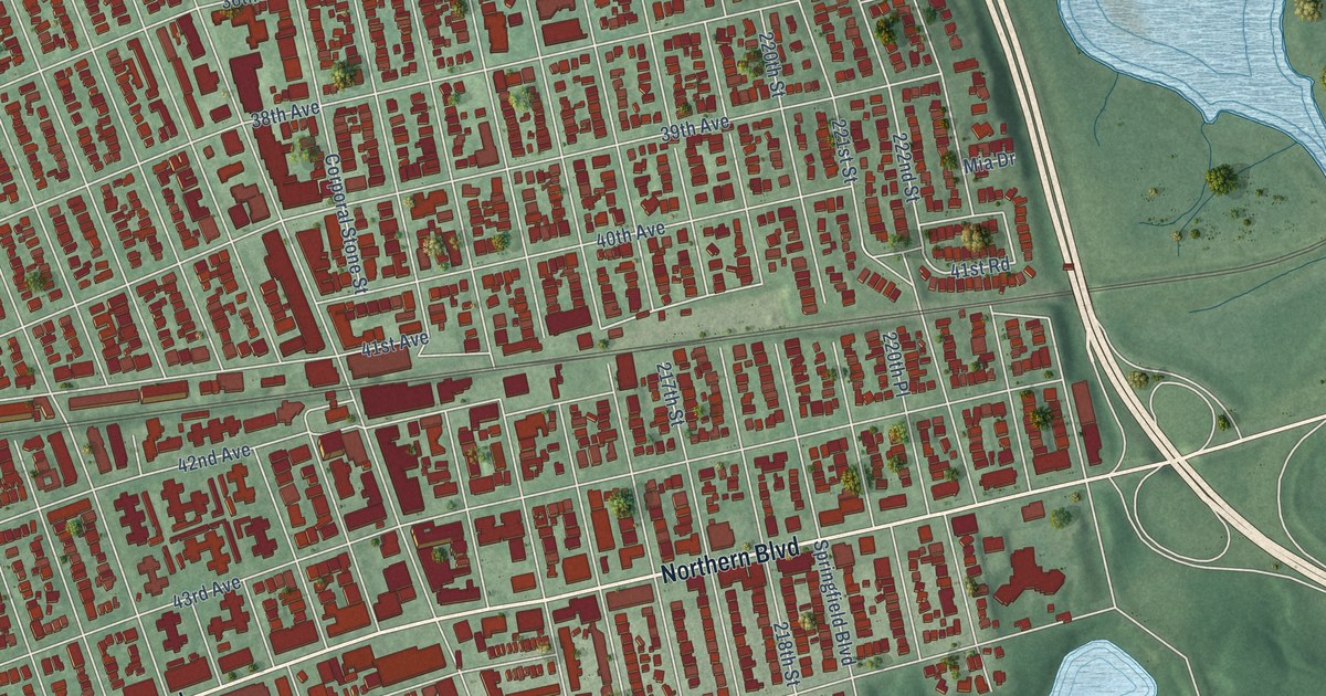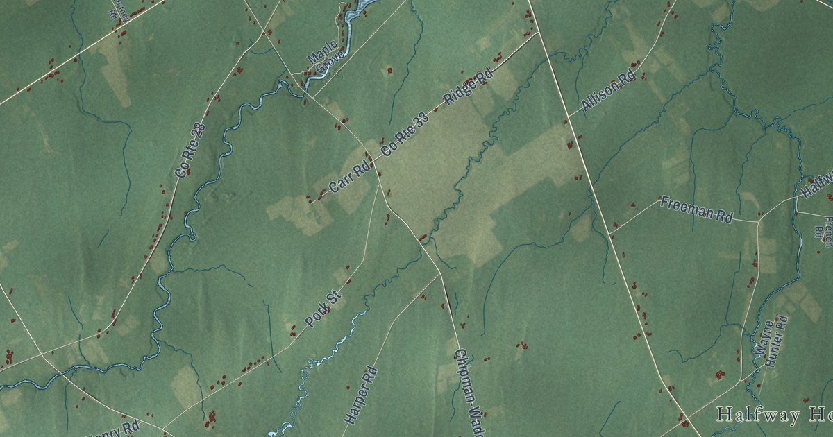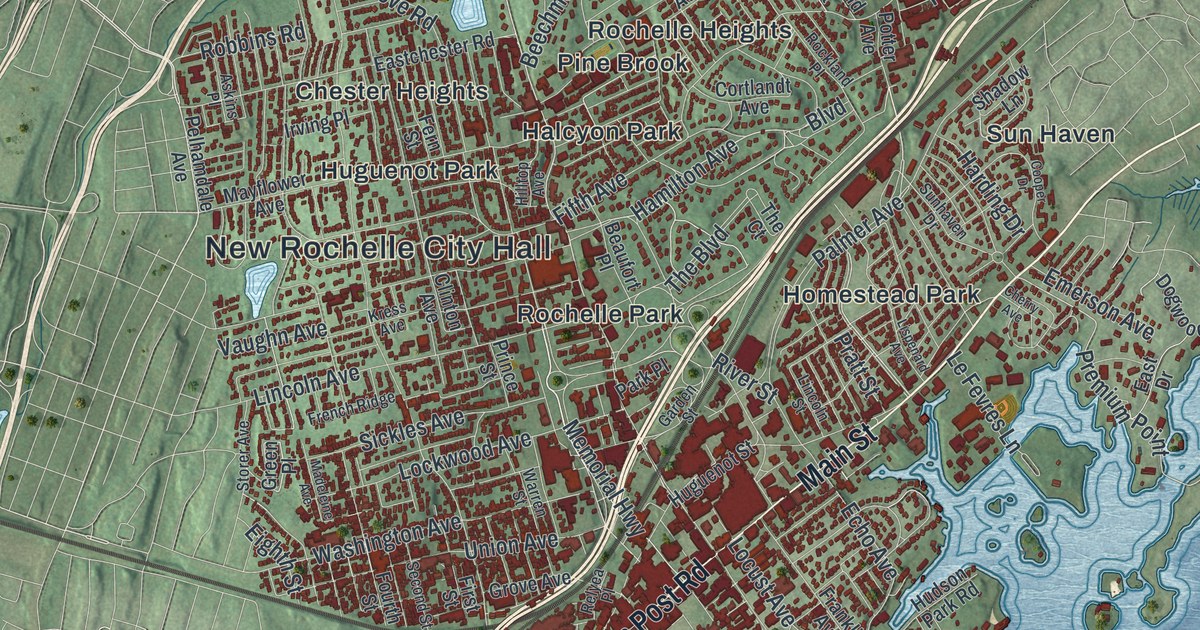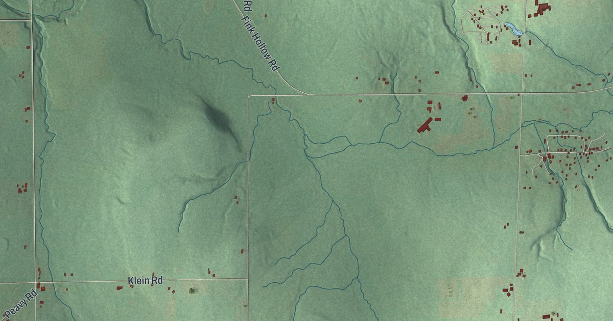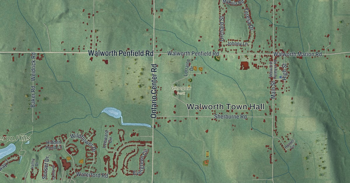
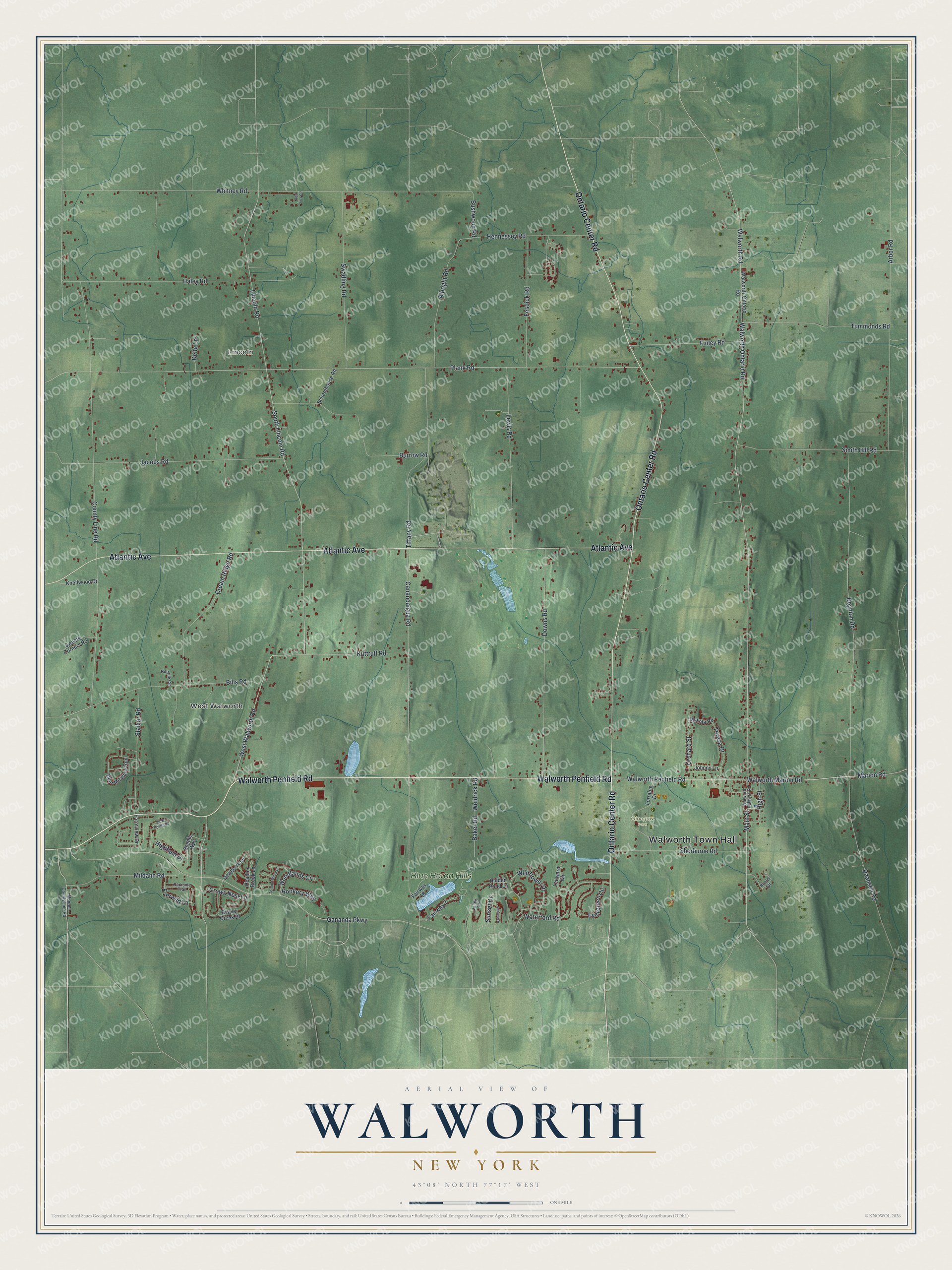
This beautifully detailed map of Walworth, New York was created in 2026 using aerial imagery combined with modern topographical, census, street and landmark data. It’s a one-of-a-kind view of Walworth that combines accurate data with a vintage aesthetic. The map shows every building in its true location, many of the roads carry their names, and the shaded topographic relief shows the shape of the land.
Explore an aerial view of Walworth, New York
On the map you’ll find Walworth Town Hall, Lincoln, West Walworth, and Ginegaw Park, along with Walworth Penfield Road, Ontario Center Road, Atlantic Avenue, Walworth Ontario Road, and more. If you look closely you can even find your house accurately drawn in its correct location. Zoom in on the preview to look for yours.
Did You Know?
Four Millet brothers came from Connecticut in 1799 and built the first log cabins here. Stephen Douglas arrived in 1800, and the crossroads was called Douglas Corners for a time. In 1829 the town took the name of state official Reuben Walworth. It was the last town formed in Wayne County.
Take a closer look at the Walworth map
Names on this map
These names are printed on this map.
Places: Walworth Town Hall, Lincoln, West Walworth, Ginegaw Park and Blue Heron Hills.
Streets and roads: Walworth Penfield Road, Ontario Center Road, Atlantic Avenue, Walworth Ontario Road, Marion Road, Walworth Marion Road, Main Street, Bills Road, West Walworth Road, Fairway 7, Wildflower Drive, South Lincoln Road.
More street names, A to Z
Albright Road, Arbor Road, Autumn Wood Drive, Baker Road, Beaver Creek Drive, Boynton Road, Burrow Road, Bushwood Road, Canandaigua Road, County Line Road, Cream Ridge Road, Crows Nest Lane, Daansen Road, Deer Meadow Run, Delfa Lane, Dewberry Lane, Downs Road, Evergreen Circle, Everwild Lane, Fairway 18, Farmview Drive, Finley Road, Fosdick Road, Gananda Parkway, Haley Road, Heather Brook Lane, Hennessey Road, Hidden Pond Lane, Highfield Drive, High Street, Hillside Circle, Hunter Circle, Jacobs Road, Johnny Lane, Knollwood Drive, Kuttruff Road, Leeward Circle, Lewis Road, Lincoln Road, Lorraine Drive, Mildahn Road, Monroe County Line Road, Mykola Road, Orchard Street, Parkside Trail, Plank Road, Red Fox Circle, Rookery Way, Scenic Way, Schoolhouse Road, Sherburne Road, Smith Hill Road, Stalker Road, Sunrise Drive, Sunset Drive, Swadling Road, Sweets Corners Road, Teresa Drive, Tiffany Road, Tummonds Road, Valley Drive, View Pointe Drive, Walworth-Ontario Road, Walworth Palmyra Road, Walworth Road, Waterford Road, Weidrick Road, Whitney Road, Woodlands Circle.
See it on a wall
The Walworth map as a framed print. Swipe for more.


This beautifully detailed map of Walworth makes an attractive addition to your office, library, or den, and it can even be used to teach children the geography and history of the area. It also makes a great gift for anyone who grew up in Walworth or moved away. When you’re done exploring, click here to get your copy of the Walworth map.