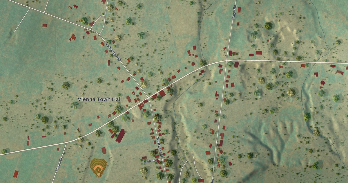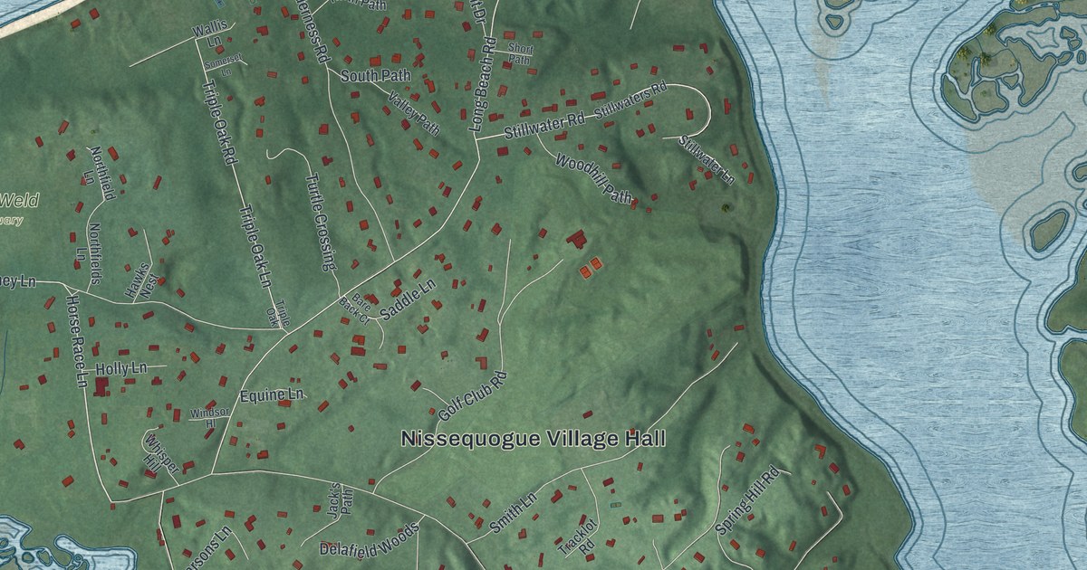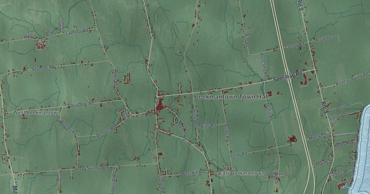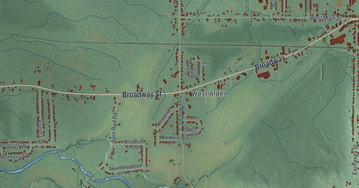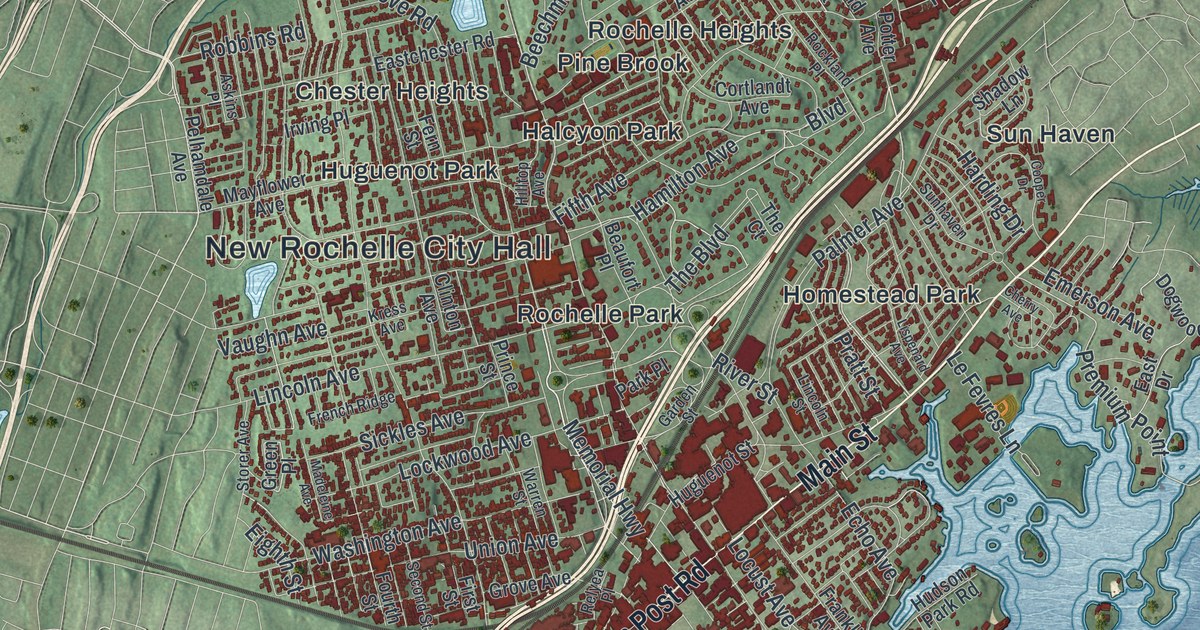
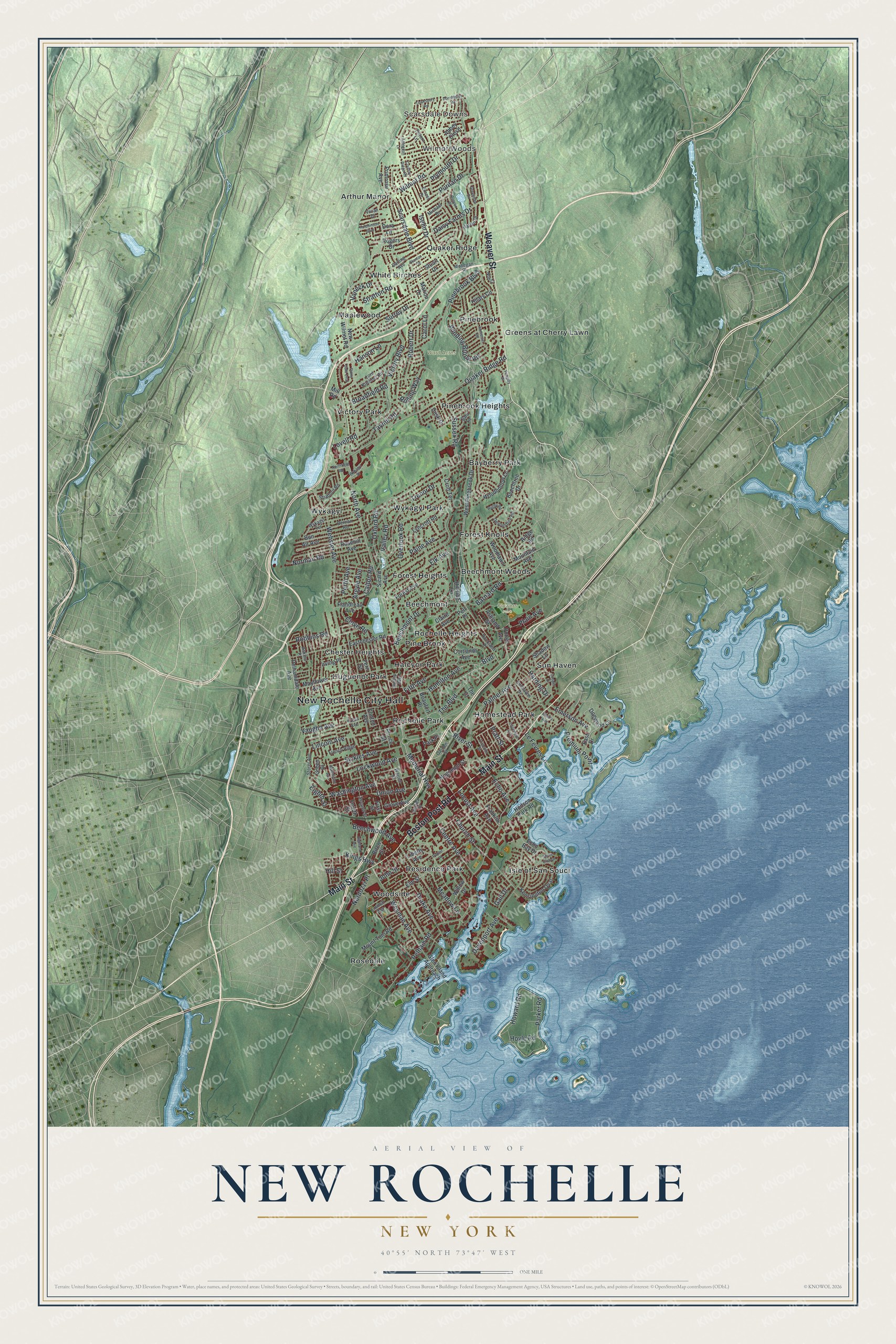
This beautifully detailed map of New Rochelle, New York was created in 2026 using aerial imagery combined with modern topographical, census, street and landmark data. It’s a one-of-a-kind view of New Rochelle that combines accurate data with a vintage aesthetic. The map shows every building in its true location, many of the roads carry their names, and the shaded topographic relief shows the shape of the land.
Explore an aerial view of New Rochelle, New York
On the map you’ll find New Rochelle City Hall, Scarsdale Downs, Wilmot Woods, Bayberry Park, Beechmont, Beechmont Woods, Flowers Park, and Ward Acres Park, along with Weaver Street, Boston Post Road, Main Street, North Avenue, and more. If you look closely you can even find your house accurately drawn in its correct location. Zoom in on the preview to look for yours.
Did You Know?
Main Street in New Rochelle follows the old Boston Post Road. During the Revolution, patriot messengers rode that road toward New York. They carried the news of the fighting at Lexington and Bunker Hill. That’s from the 1940 WPA guide to New York.
Take a closer look at the New Rochelle map
Names on this map
These names are printed on this map.
Places: New Rochelle City Hall, Scarsdale Downs, Wilmot Woods, Flowers Park, Ward Acres Park, Arthur Manor, Bayberry Park, Beechmont, Beechmont Woods, Chester Heights, Forest Heights, Forest Knolls, Greens at Cherry Lawn, Halcyon Park, Homestead Park, Huguenot Park, Isle of San Souci, Maplewood, Pine Brook, Pinebrook, Pinebrook Heights, Quaker Ridge, Residence Park, Rochelle Heights, Rochelle Park, Rosedale, Sun Haven, Victory Park, White Birches, Woodside, Wykagyl and Wykagyl Park.
Streets and roads: Weaver Street, Boston Post Road, Main Street, North Avenue, Wilmot Road, Fifth Avenue, Memorial Highway, Hamilton Avenue, Premium Point, Pinebrook Boulevard, Webster Avenue, Pelham Road.
More street names, A to Z
Abbey Close, Abingdon Lane, Argyle Avenue, Ashland Street, Askins Place, Barnard Road, Beaufort Place, Beechmont Drive, Beechtree Drive, Beechwood Avenue, Berrian Road, Birch Street, Bon Air Avenue, Boulevard, Broadfield Road, Calton Road, Carol Lane, Centre Avenue, Cherry Avenue, Church Street, Claire Avenue, Clinton Avenue, Clove Road, Cooper Drive, Cortlandt Avenue, Country Ridge Road, Croft Terrace, Daisy Farms Drive, Darling Avenue, Davenport Avenue, Devonshire Road, Dogwood Lane, Dora Lane, Dorchester Road, Drake Avenue, Dusk Drive, Eastchester Road, East Drive, Echo Avenue, Echo Bay Drive, Eighth Street, Elk Avenue, Elm Street, Emerson Avenue, Emmett Terrace, Ernest Drive, Fern Street, First Street, Flandreau Avenue, Forest Avenue, Fourth Street, Franklin Avenue, French Ridge, Gail Drive, Garden Street, Glen Island Approach, Green Place, Greentree Drive, Grove Avenue, Hanson Lane, Harding Drive, Harlan Drive, Highland Avenue, Hilary Circle, Hillside Lane, Hill Street, Hilltop Avenue, Howard Road, Hoyle Road, Hudson Park Road, Huguenot Street, Hutchinson Boulevard, Irving Place, Iselin Drive, John Street, Kensington Oval, Kings Highway, Kress Avenue, Le Fevres Lane, Liberty Avenue, Lincoln Avenue, Lincoln Street, Lispenard Avenue, Lockwood Avenue, Locust Avenue, Lord Kitchner Road, Lovell Road, Lyncroft Road, Madeleine Avenue, Marion Drive, Mayflower Avenue, Meadow Lane, Michael Drive, Mill Road, Mohegan Place, Mountain Avenue, Mount Tom Road, Nardozzi Place, New Wilmot Road, Nob Court, Norman Road, Northfield Road, Overlook Road, Oxford Road, Paine Avenue, Palmer Avenue, Parker Road, Park Place, Pelhamdale Avenue, Pell Place, Pengilly Drive, Perth Avenue, Plain Avenue, Plymouth Drive, Poplar Place, Potter Avenue, Pratt Street, Primrose Avenue, Prince Street, Puritan Drive, Quaker Ridge Road, Relyea Place, Ridge Road, River Street, Robbins Road, Robert Drive, Rockland Place, Rogers Drive, Rolling Way, Rosehill Avenue, Rugby Road, Runyon Place, Sara Lane, Scarsdale Boulevard, Second Street, Shadow Lane, Shore Club Drive, Sicard Avenue, Sickles Avenue, Somerset Road, Stanton Circle, Stony Gate Oval, Storer Avenue, Stratford Road, Stratton Road, Stuart Drive, Sunhaven Drive, Surrey Drive, Sussex Road, Taymil Road, Tewksbury Road, The Boulevard, The Court, Tintern Lane, Trenor Drive, Union Avenue, Valley Road, Vaneck Drive, Vaughn Avenue, Victory Boulevard, Vivian Drive, Warren Street, Washington Avenue, West Pinebrook Drive, Weyman Avenue, Willow Drive, Winding Brook Road, Woodhollow Lane, Woodlawn Avenue, Wykagyl Drive, Wykagyl Terrace.
See it on a wall
The New Rochelle map as a framed print. Swipe for more.


This beautifully detailed map of New Rochelle makes an attractive addition to your office, library, or den, and it can even be used to teach children the geography and history of the area. It also makes a great gift for anyone who grew up in New Rochelle or moved away. When you’re done exploring, click here to get your copy of the New Rochelle map.