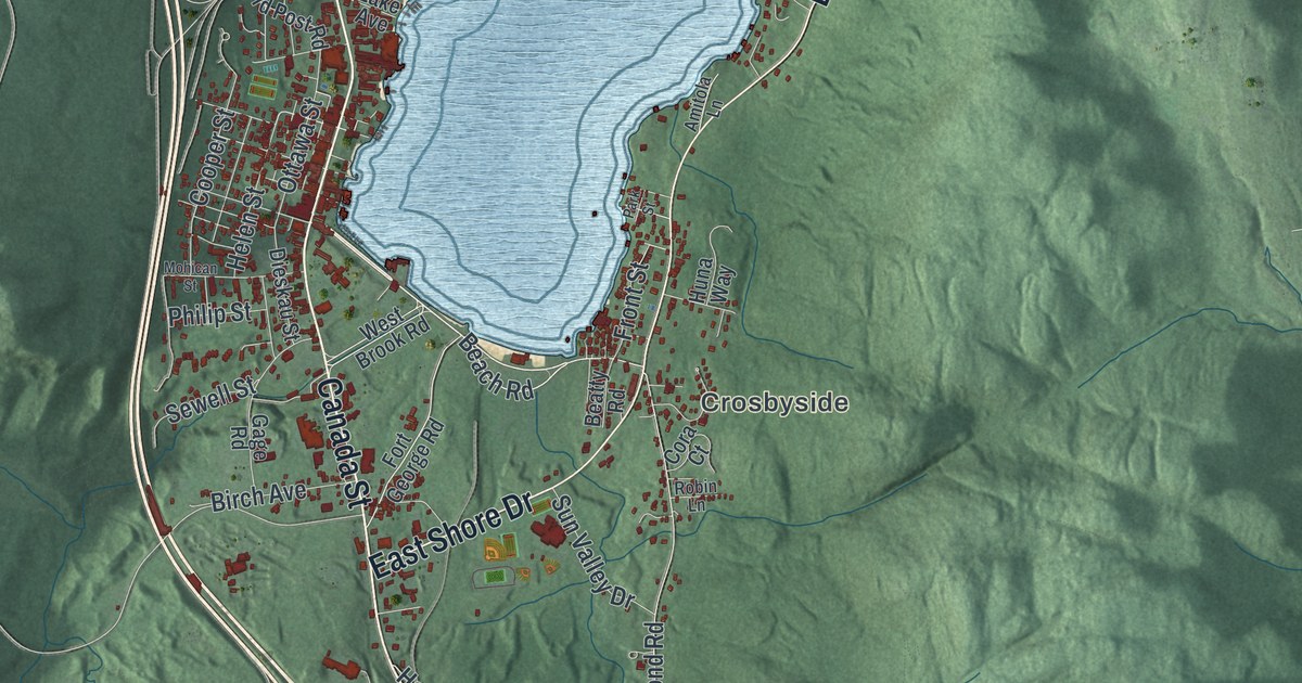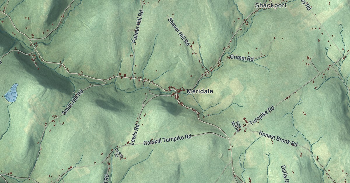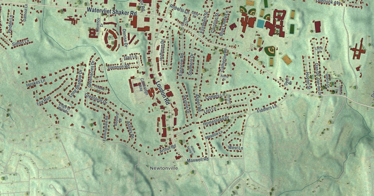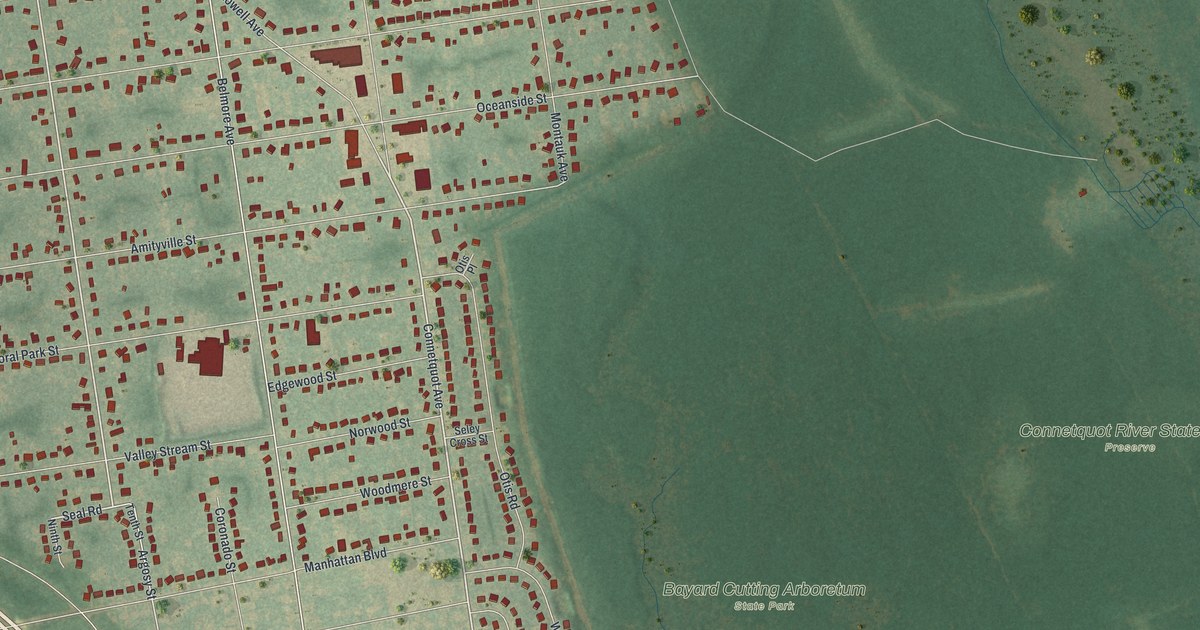
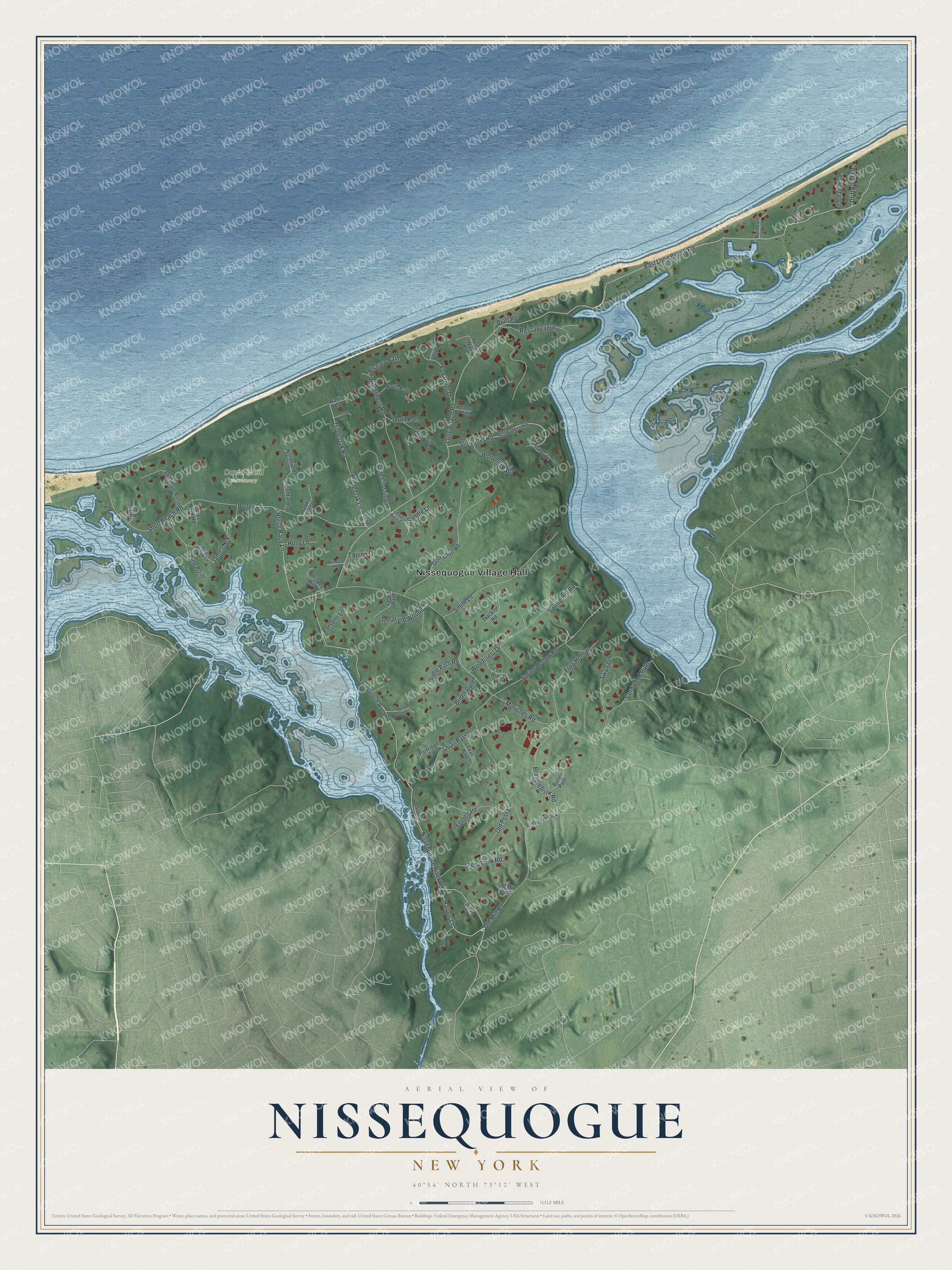
This beautifully detailed map of Nissequogue, New York was created in 2026 using aerial imagery combined with modern topographical, census, street and landmark data. It's a modern aerial view of Nissequogue in Suffolk County, New York, that combines modern data with a vintage aesthetic. The roads feature printed names, and if you look closely you can find your exact house accurately shown in its correct location.
Explore an aerial view of Nissequogue, New York
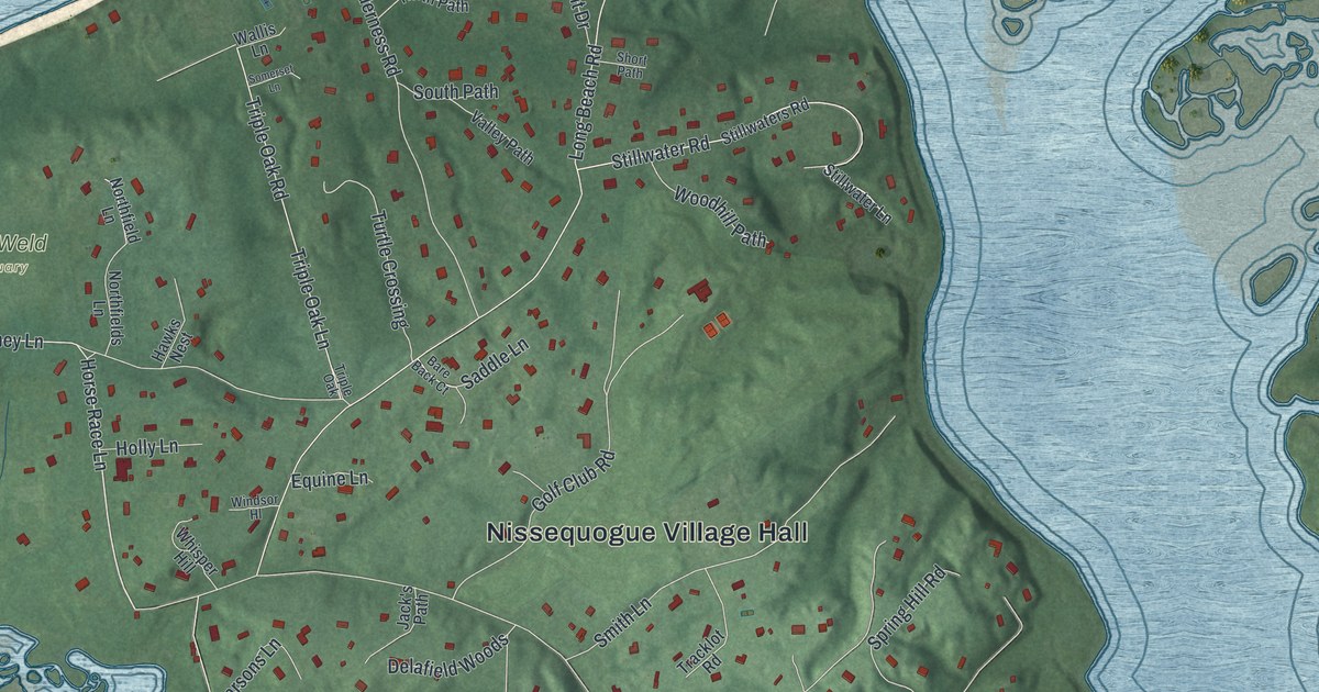
On this map you'll find Nissequogue Village Hall, David Weld Sanctuary, Nissequogue River Road, Harbor Lane, Horse Race Lane, Long Beach Road, Stillwater Road, East Long Beach Road, Moriches Road, Old Mill Road, Short Beach Road, Golf Club Road, and more. Each red shape is a building, so zoom in on the preview and look for yours.
Here is a piece of Nissequogue history, in the words of the record. The Village of Nissequogue puts it this way: "The Village of Nissequogue is the site of the original settlement of the Town of Smithtown. Richard Smith, the Patentee, founded the town in 1665 on land deeded to him by Lion Gardiner and Wyandanch, who was the Sachem of the Montauks." Nissequogue became an incorporated village in 1926. Close to 300 people gathered to mark its 100th year.
Nissequogue is a village in Suffolk County. The Census Bureau counted 1,564 people here in 2020.
Take a closer look at the Nissequogue map
Names on this map
These names are printed on this map.
Places: Nissequogue Village Hall and David Weld Sanctuary.
Streets and roads: Nissequogue River Road, Harbor Lane, Horse Race Lane, Long Beach Road, Stillwater Road, East Long Beach Road, Moriches Road, Old Mill Road, Short Beach Road, Golf Club Road, Triple Oak Lane, Spring Hollow Road.
More street names, A to Z
Artesian Way, Bare Back Court, Beach Plum Lane, Bluff Road, Boney Lane, Branglebrink Road, Breezy Hollow, Bridle Path, Bridle Path Road, Butler Path, Cordwood Path, Delafield Woods, Driftwood Lane, Equine Lane, Fox Point Drive, Fox Run, Frog Hollow, Hawks Nest, Hillcrest Road, Holly Lane, Hunter's Way, Jack's Path, James Nck, James Neck Road, Nissequoque River Road, Northfield Lane, Northfields Lane, North Path, Old Mill Path, Old Post Lane, Parsons Lane, Partridge Court, Penny Lane, Pheasant Run, Pine Point, Quail Hollow Court, Quail Path, Rassapeague, Reinhart Court, Richard Path, River Hollow Lane, Saddle Lane, Short Path, Smith Lane, Somerset Lane, Sound Vw, South Path, Spring Hill Road, Steepbank Road, Stillwater Lane, Stillwaters Road, Stonegate, Swan Place, Teal Way, Tidemill Lane, Tracklot Road, Triple Oak, Triple Oak Road, Turtle Crossing, Valley Path, Wallis Lane, Whisper Hill, Wilderness Road, Windsor Hl, Woodcrest Drive, Woodhill Path, Yens Way.
See it on a wall
The Nissequogue map as a framed print. Swipe for more.


Created by KNOWOL in 2026. The buildings are small red shapes, the roads carry their printed names, and shaded relief shows the shape of the land. The title panel reads "AERIAL VIEW OF NISSEQUOGUE, NEW YORK" with 40°54' NORTH 73°12' WEST.
It suits a den, a classroom or a front hall, and it makes a gift for anyone with Nissequogue roots. Open the preview and find the block you know. See sizes and frames for the Nissequogue map.