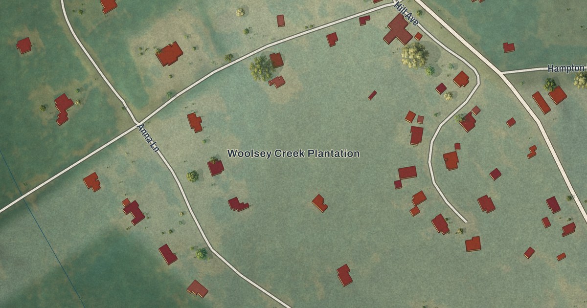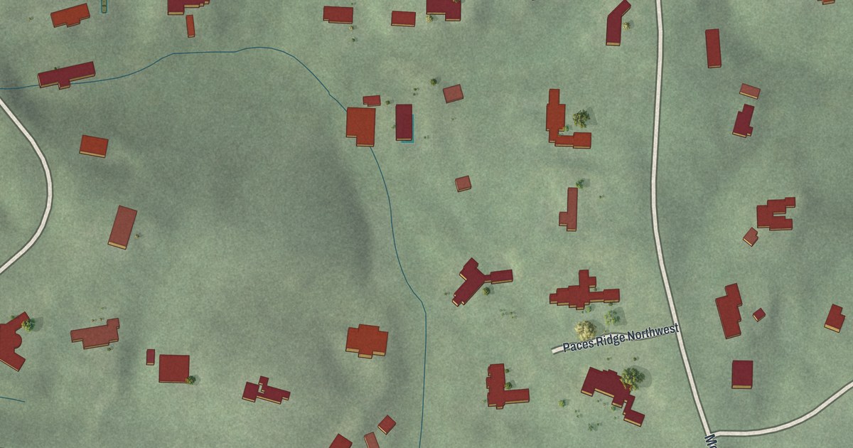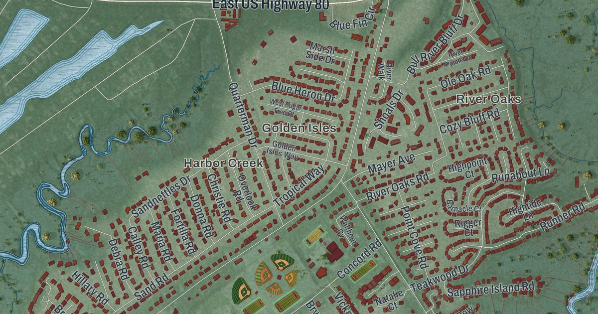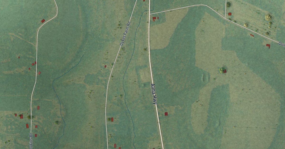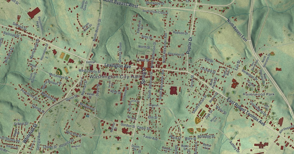
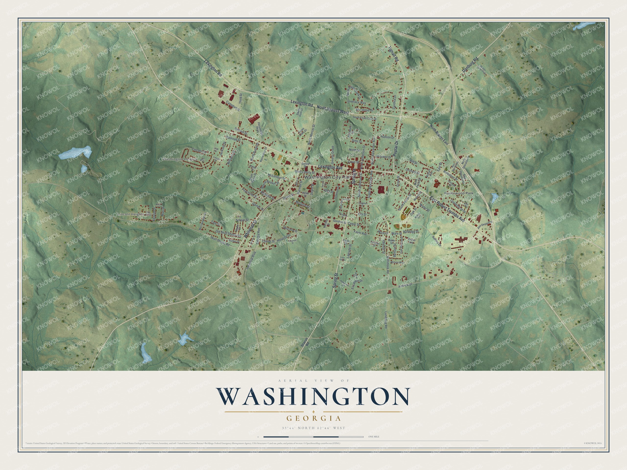
This beautifully detailed map of Washington, Georgia was created in 2026 using aerial imagery combined with modern topographical, census, street and landmark data. It’s a one-of-a-kind view of Washington that combines accurate data with a vintage aesthetic. The map shows every building in its true location, many of the roads carry their names, and the shaded topographic relief shows the shape of the land.
Explore an aerial view of Washington, Georgia
On the map you’ll find Washington City Hall, Lincoln Heights, Washington Heights, and Ravenwood Park, along with Robert Toombs Avenue, Lexington Avenue, Tignall Road, Poplar Drive, and more. If you look closely you can even find your house accurately drawn in its correct location. Zoom in on the preview to look for yours.
Did You Know?
Washington was laid out in 1780. It was the first town in the nation incorporated under the name Washington. For a time it was the principal town in the Georgia upcountry north of Augusta. That’s from the 1940 WPA guide to Georgia.
Take a closer look at the Washington map
Names on this map
These names are printed on this map.
Places: Washington City Hall, Lincoln Heights, Washington Heights, Ravenwood Park and Baston Trailer Park.
Streets and roads: East Robert Toombs Avenue, Lexington Avenue, Tignall Road, Poplar Drive, Whitehall Street, Danburg Road, Spring Street, Lexington Road, North Bypass West, North Butler Street, South Alexander Avenue, Industrial Boulevard.
More street names, A to Z
42nd Street, Abby Court, Alabama Street, Alexander Drive, Andrew Drive, Ann Denard Drive, Arden Road, Ashley Drive, Auburn Avenue, Baker Street, Baltimore Road, Barksdale Drive, Benson Street, Berkshire Drive, Buster Avenue, Callow Drive, Campbell Street, Carolyn Street, Cedar Street, Center Street, Chapman Street, Cloverhurst Drive, Court Street, Cynthia Lane, Depot Street, Dyson Drive, East Barnett Street, Eastholm Circle, East Sheraton Drive, East Street, Elizabeth Drive, Elm Street, Faver Avenue, Foxwood Drive, Gaines Street, Garland Avenue, Georgia Avenue, Glen Street, Gordon Street, Greens Grove, Grove Street, Harper Street, Helen Street, Hill Street, Hospital Drive, Hudson Drive, Jackson Street, Kendall Drive, Laprade Street, Lilac Lane, Lincoln Circle, Lincoln Drive, Lions Club Drive, Lovelace Way, Lundburg Road, Maple Street, Marshal Street, Max Drive, McGuire Street, McLendon Drive, Mercer Street, Merriweather Drive, Mobile Circle, Norman Street, North Alexander Avenue, North Bypass East, North Elijah Clark Drive, North Jefferson Street, North Mercer Street, North Pecan Street, North Sheraton Drive, North Street, Oak Street, Old Skull Shoals Road, Orchard Street, Peachtree Street, Pembroke Drive, Persimmon Parkway, Peter Street, Quinn Street, Railroad Street, Recreation Drive, Reese Booker Street, Rusher Street, Rutledge Street, Salenist Street, School Street, Second Street, Seven Oaks Drive, Sharon Road, Sherwood Drive, Sim Dill Drive, Sims Street, Skull Shoals Road, South Butler Street, South Elijah Clark Drive, South Jefferson Street, South Pecan Street, Springdale Drive, Sweet Gum Drive, Tate Street, Third Street, Walnut Street, Ware Court, Ware Street, Water Street, West Liberty Street, West Pine Street, West Sheraton Drive, Williams Street, Wills Memorial Drive, Wilson Way, Wingfield Street, Worth Drive.
See it on a wall
The Washington map as a framed print. Swipe for more.


This beautifully detailed map of Washington makes an attractive addition to your office, library, or den, and it can even be used to teach children the geography and history of the area. It also makes a great gift for someone who left Washington and still calls it home. When you’re done exploring, click here to get your copy of the Washington map.