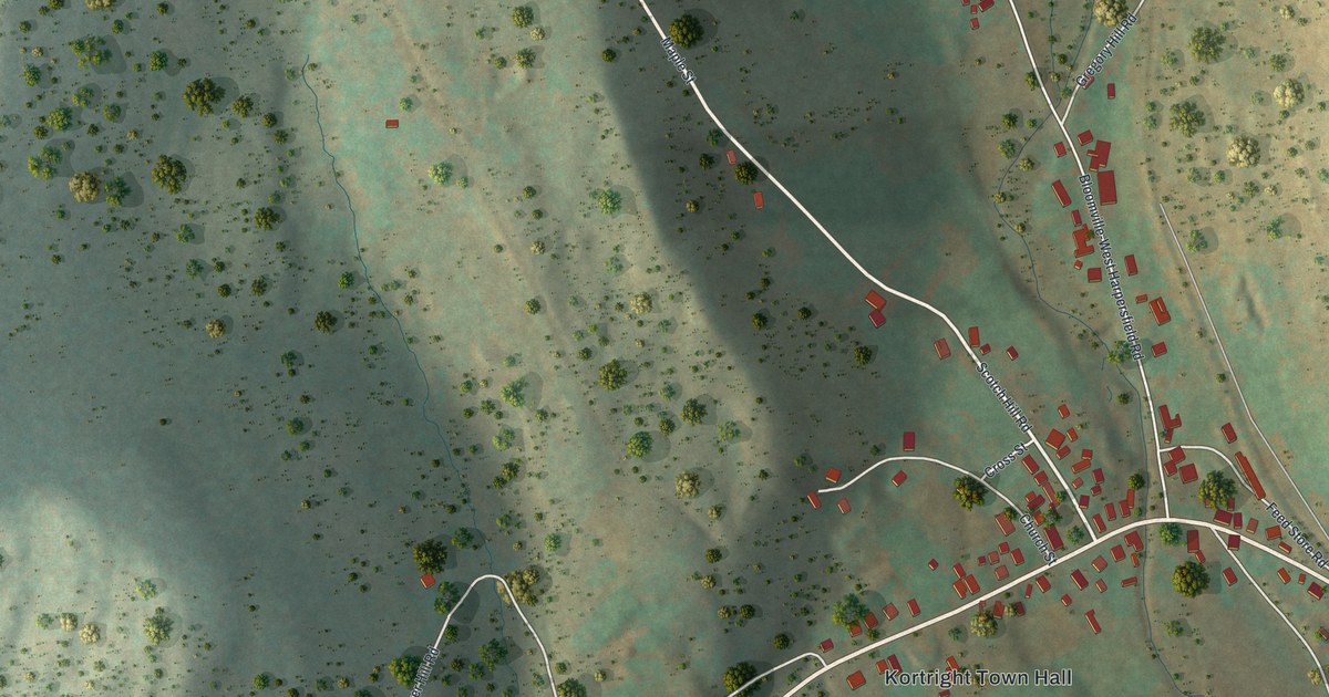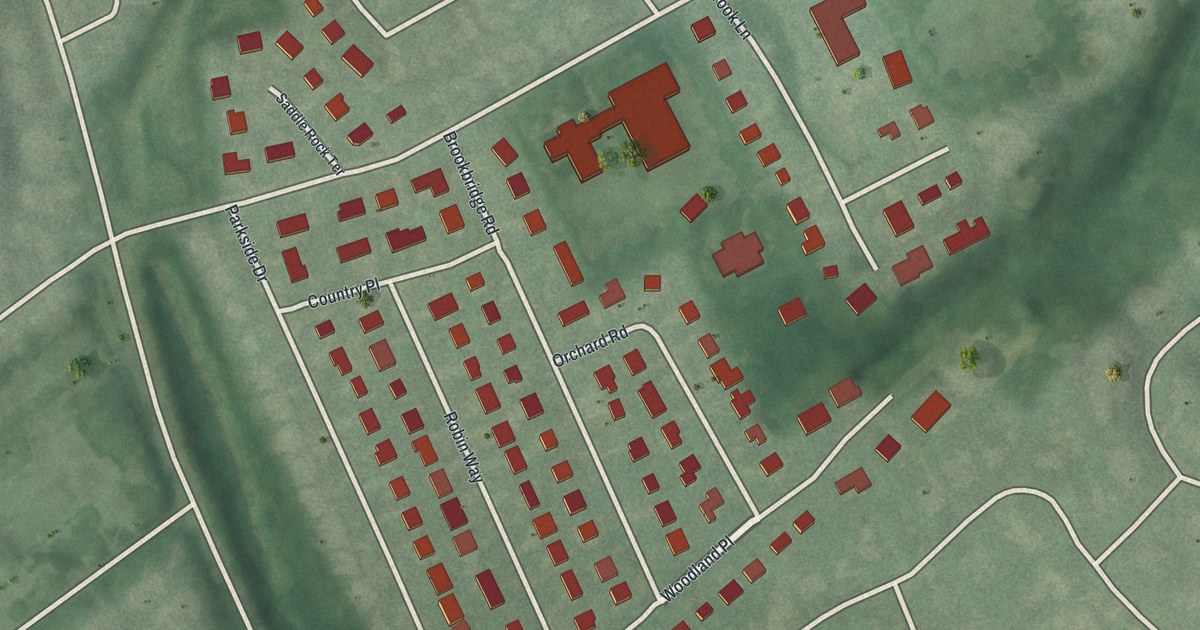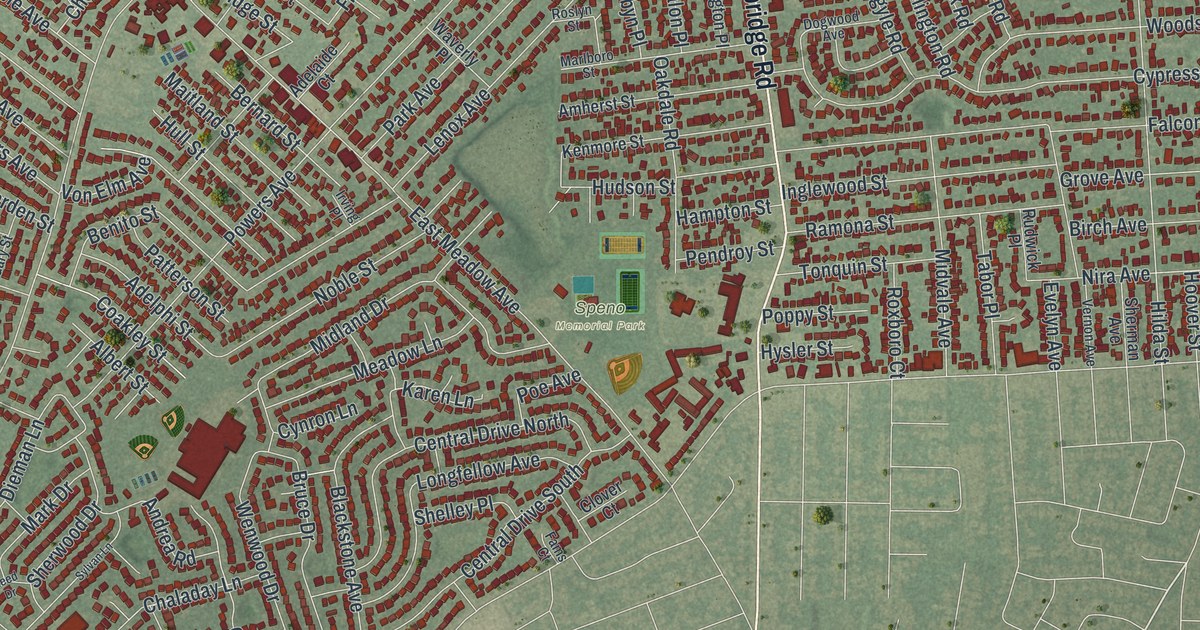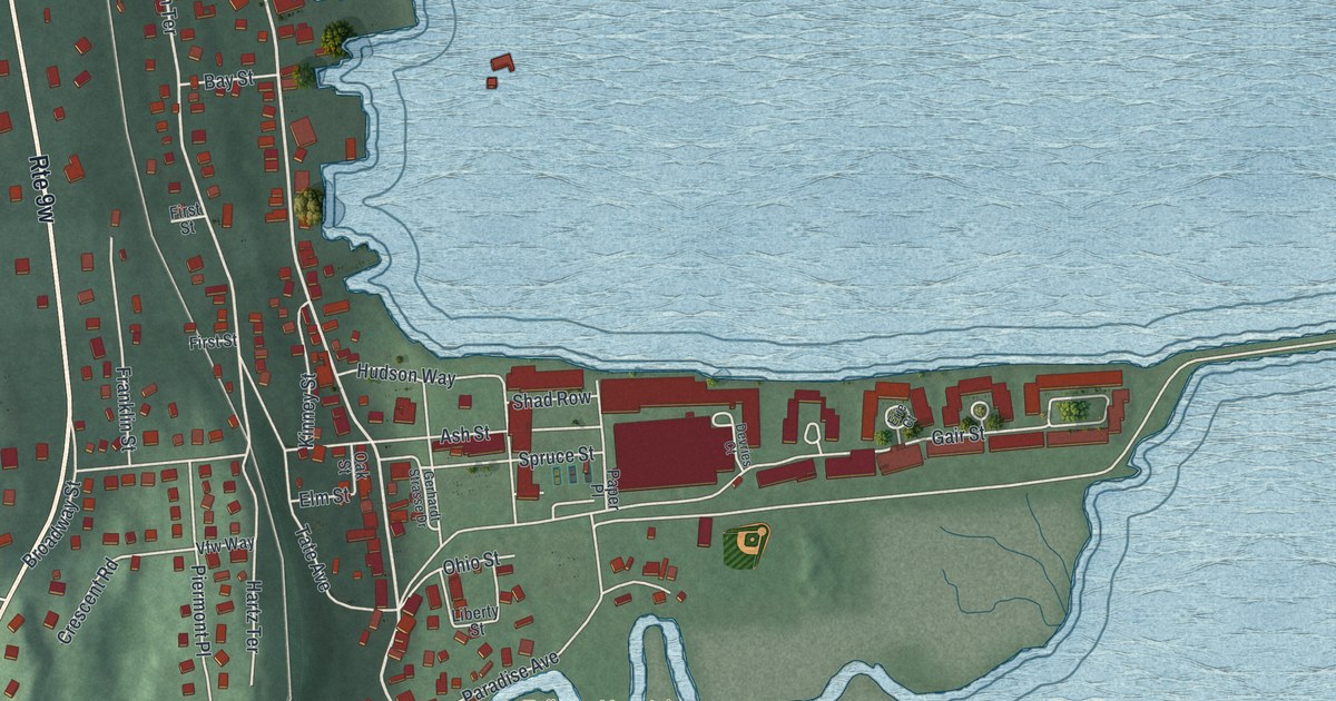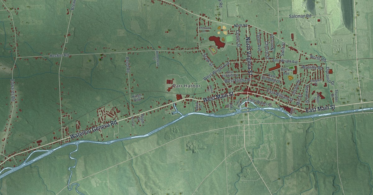
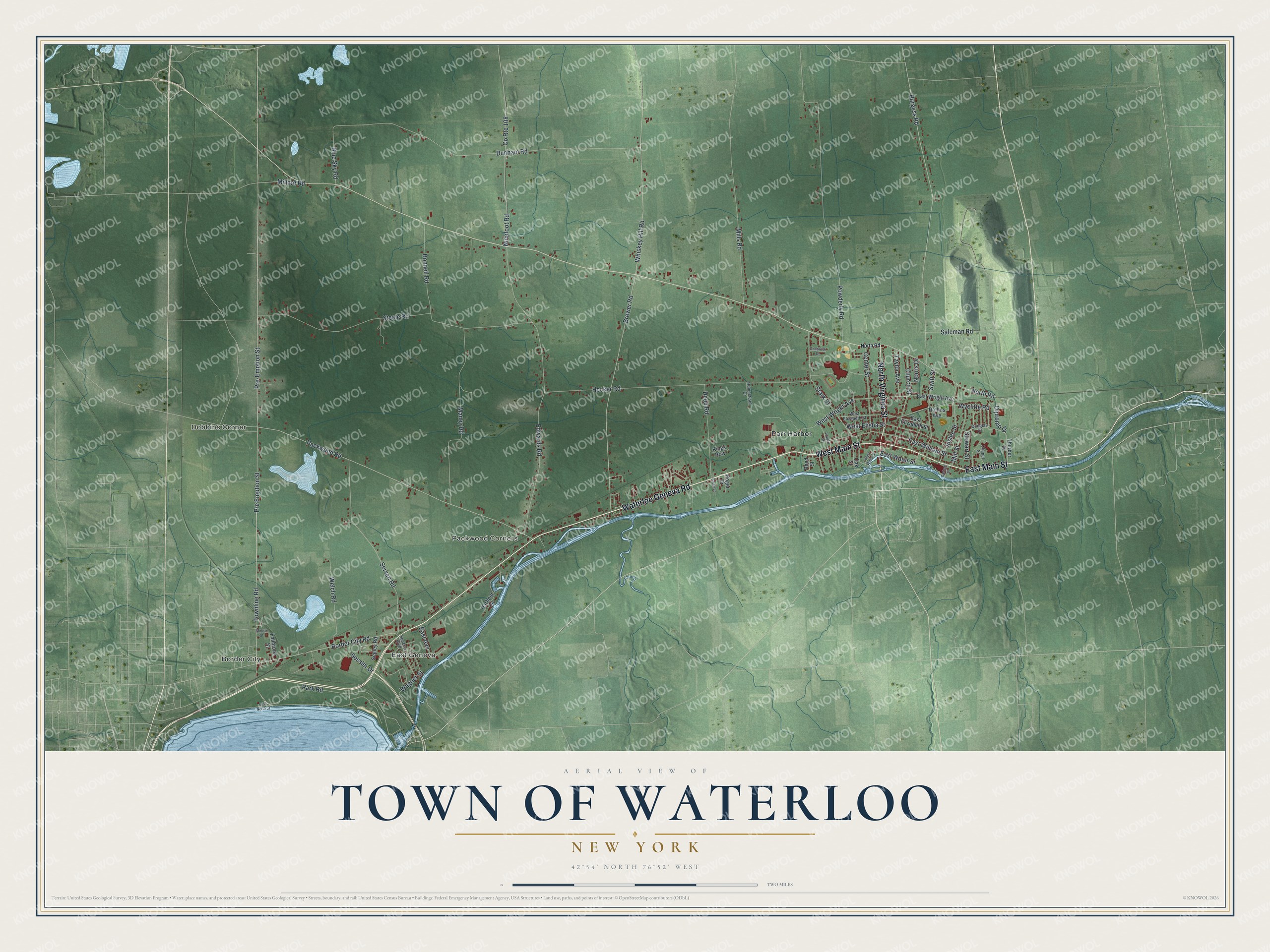
This beautifully detailed map of the Town of Waterloo, New York was created in 2026 using aerial imagery combined with modern topographical, census, street and landmark data. It’s a one-of-a-kind view of the Town of Waterloo that combines accurate data with a vintage aesthetic. The map shows every building in its true location, many of the roads carry their names, and the shaded topographic relief shows the shape of the land.
Explore an aerial view of the Town of Waterloo, New York
On the map you’ll find Border City, Dobbins Corner, East Geneva, Packwood Corners, and Parr Harbor, along with Waterloo Geneva Road, Main Street, Virginia Street, Border City Road, North Road, and more. If you look closely you can even find your house accurately drawn in its correct location. Zoom in on the preview to look for yours.
Did You Know?
Settlers first came to the area around 1800, on land set aside for war veterans. The town split off from Junius in 1829. It took its name from Waterloo in Belgium, the battlefield where Napoleon met his final defeat.
Take a closer look at the Town of Waterloo map
Names on this map
These names are printed on this map.
Places: Border City, Dobbins Corner, East Geneva, Packwood Corners and Parr Harbor.
Streets and roads: Waterloo Geneva Road, West Main Street, East Main Street, North Virginia Street, Border City Road, North Road, Pre Emption Street, Townline Road, Park Road, West Wright Avenue, Dunham Road, Edwards Road.
More street names, A to Z
Blue Sky Road, Bonnell Road, Breen Lane, Brewer Road, Burgess Road, Center Street, Chadwick Drive, Chapel Street, Church Street, County Route 108, Dipronio Drive, Douglas Drive, East Avenue, East Elizabeth Street, East North Street, East Water Street, East William Street, East Wright Avenue, Fallbrook Street, Gorham Street, Harbour Lane, Hecker Road, Homestead Drive, Inslee Street, Kings Row, Maney Road, Millard Road, Mills Road, Mill Street, Moore Street, Ninefoot Road, Norris Drive, Oak Street, Packwood Road, Powderly Road, Pre-Emption Street, Reed Road, Reed Street, Roger Drive, Rollins Avenue, Salcman Road, Seeley Road, Seneca Boulevard, Serven Road, Sessler Drive, Stark Street, Steele Road, Stewart Street, Swift Street, Taylor Avenue, Thurber Drive, Wagner Street, Walnut Street, Welch Road, West Elisha Street, West Elizabeth Street, West Water Street, Whiskey Hill Road, Wycliffe Road.
See it on a wall
The Waterloo map as a framed print. Swipe for more.


This beautifully detailed map of the Town of Waterloo makes an attractive addition to your office, library, or den, and it can even be used to teach children the geography and history of the area. It also makes a great gift for anyone who grew up in the Town of Waterloo or moved away. When you’re done exploring, click here to get your copy of the Town of Waterloo map.