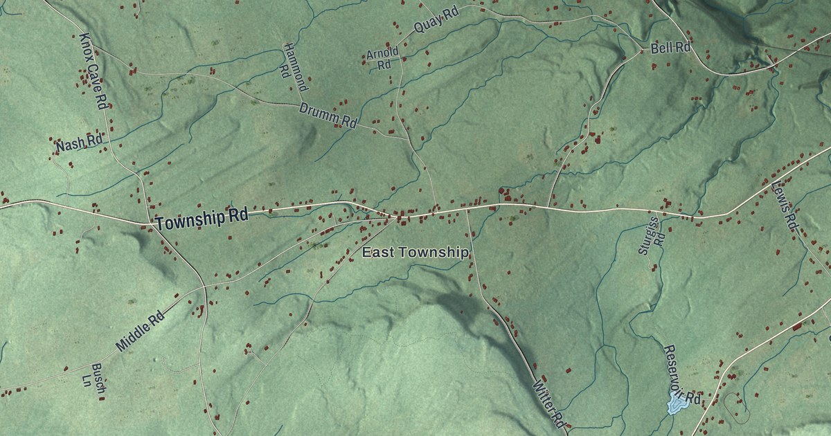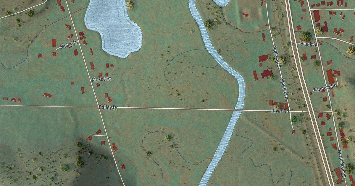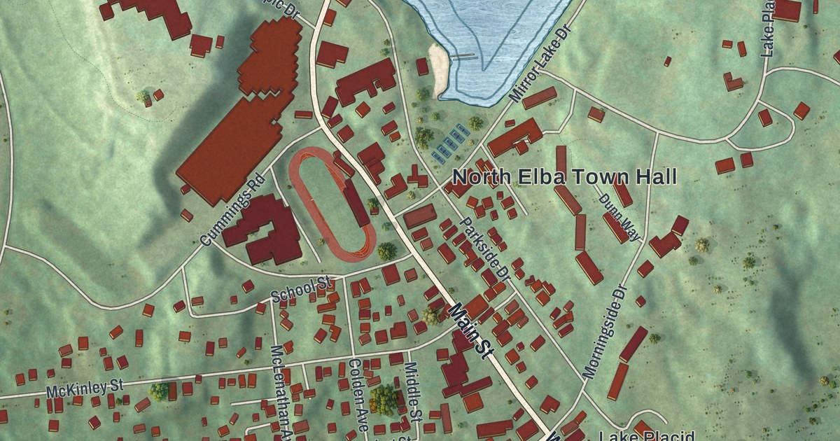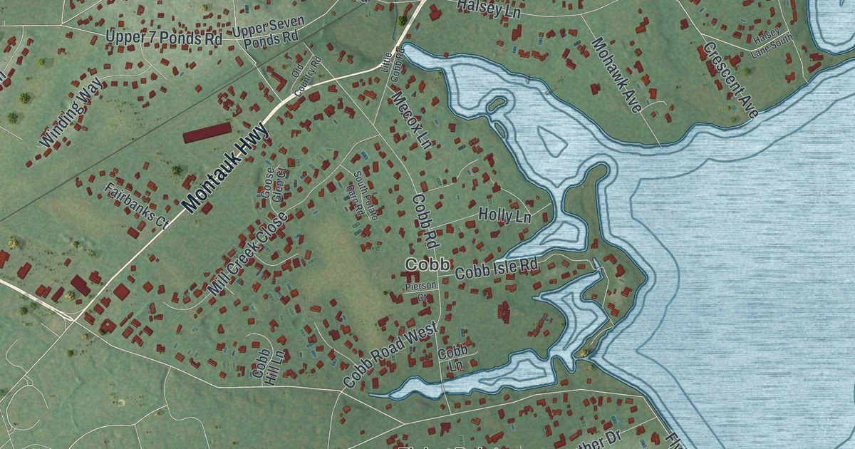
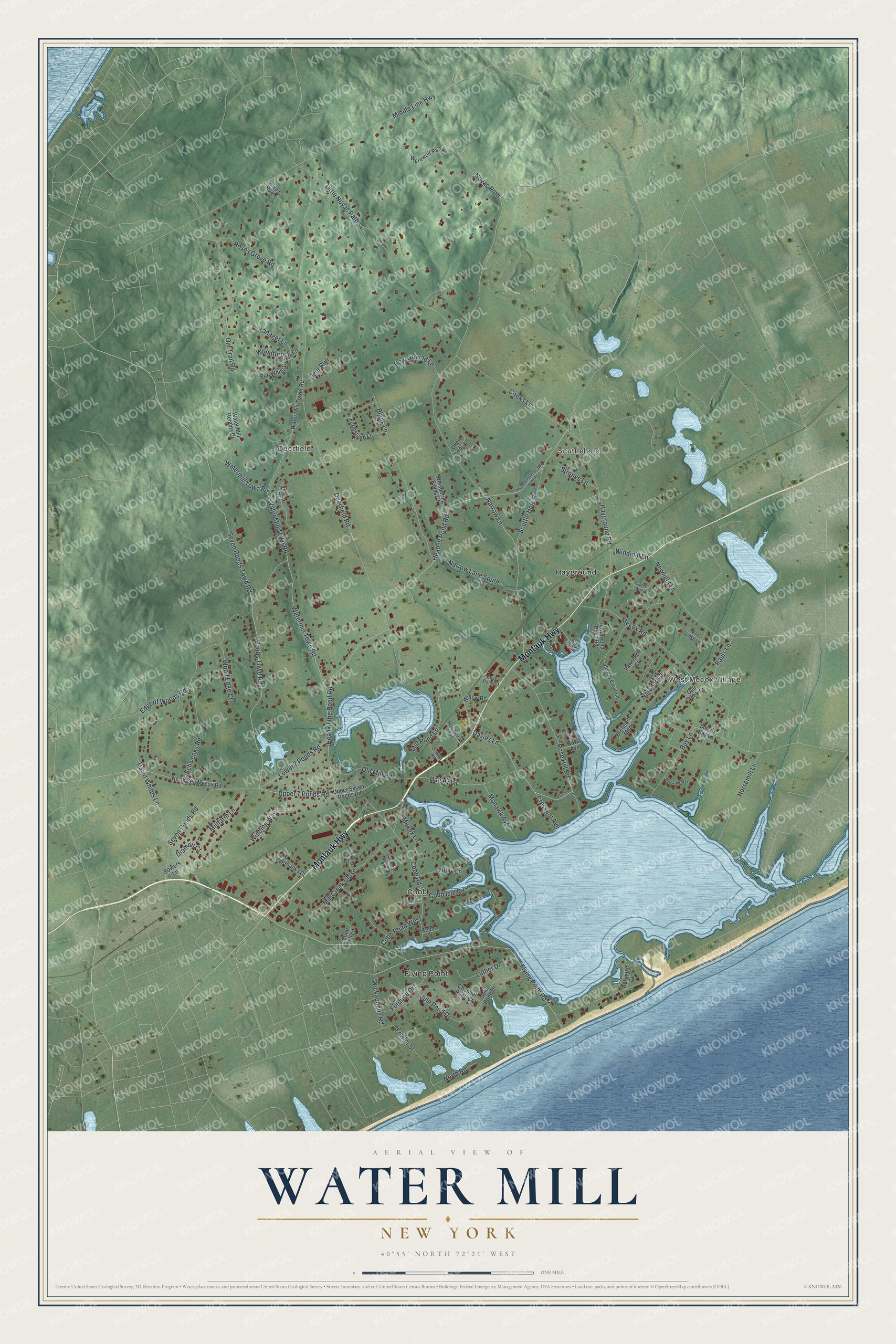
This beautifully detailed map of Water Mill, New York was created in 2026 using aerial imagery combined with modern topographical, census, street and landmark data. It’s a one-of-a-kind view of Water Mill that combines accurate data with a vintage aesthetic. The map shows every building in its true location, many of the roads carry their names, and the shaded topographic relief shows the shape of the land.
Explore an aerial view of Water Mill, New York
On the map you’ll find Flying Point, Cobb, Deerfield, Scuttlehole, and West Mecox Village, along with Montauk Highway, Flying Point Road, Watermill Towd Road, Cobb Road, Halsey Lane, and more. If you look closely you can even find your house accurately drawn in its correct location. Zoom in on the preview to look for yours.
Did You Know?
In 1644, England granted Edward Howell 40 acres near Southampton to build a mill. Settlers brought their grain there to be ground into meal. The mill became such a landmark that new settlements were described by their place east or west of it. The hamlet took its name from that mill.
Take a closer look at the Water Mill map
Names on this map
These names are printed on this map.
Places: Flying Point, Cobb, Deerfield, Scuttlehole, West Mecox Village and Hayground.
Streets and roads: Montauk Highway, Flying Point Road, Watermill Towd Road, Cobb Road, Halsey Lane, Wickapogue Road, Narrow Lane, Deerfield Road, Noyac Path, Head of Pond Road, Head of the Pond Road, Mecox Road.
More street names, A to Z
7 Ponds Towd Road, Bay Avenue, Bay Lane, Blank Lane, Bob White Drive, Bowers Lane, Brennans Moor, Burnetts Cv, Calf Creek Court, Channel Pond Court, Cobb Hill Lane, Cobb Isle Road, Cobb Lane, Cobb Road West, Cooks Lane, Cove Avenue, Cove Point Court, Crescent Avenue, Davids Lane, David Whites Lane, Deer Run, Diamon Court, Edge of Woods Road, Fairbanks Court, Farmstead Lane, Fordune Drive, Fowler Street, Georgian Lane, Goose Glen Court, Halsey Lane South, Hayground Cove Road, Hayground Road, Head of Pond-Scuttle Hole Road, Holly Lane, Horsemill Lane, Jordan Drive, Jule Pond Drive, Julis Pond Drive, Lawrence Court, Little Cobb Road, Little Noyac Path, Louise Court, Lower 7 Ponds Road, Luther Drive, Mecox Bay Lane, Mecox Lane, Middle Line Highway, Mill Creek Close, Millfarm Lane, Mill Pond Lane, Mohawk Avenue, Narod Boulevard, Narrow Lane South, New Ground Lane, Newlight Lane, North Road, North Sea Mecox Road, Novas Run, Nowedonah Avenue, Old Country Road, Old Mill Road, Old Trail Road, Olivers Cove Lane, Osprey Way, Pauls Lane, Pierson Court, Rose Hill Road, Roses Grove Road, Schwenks Road, Scuttle Hole Road, Seven Ponds Road, Seven Ponds Towd Road, South Potato Barn Road, Station Road, Strongs Lane, Tanager Lane, Uncle Leos Lane, Upper 7 Ponds Road, Upper Seven Ponds Road, Water Mill Heights Drive, Water Mill Towd Road, Water Mill Tower Road, Watermill Town Road, Werewolf Path, Wheaton Way, Whispering Fields Court, Wild Goose Lane, Willow Road, Winding Way, Windmill Lane, Wood Edge Court, Woodthrush Lane.
See it on a wall
The Water Mill map as a framed print. Swipe for more.


This beautifully detailed map of Water Mill makes an attractive addition to your office, library, or den, and it can even be used to teach children the geography and history of the area. It also makes a great gift for someone who left Water Mill and still calls it home. When you’re done exploring, click here to get your copy of the Water Mill map.