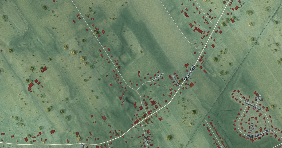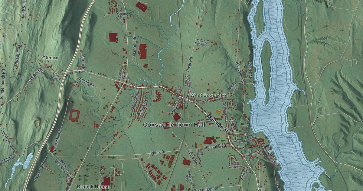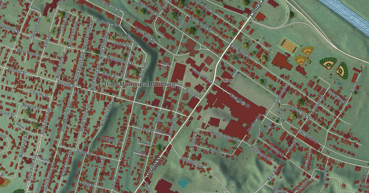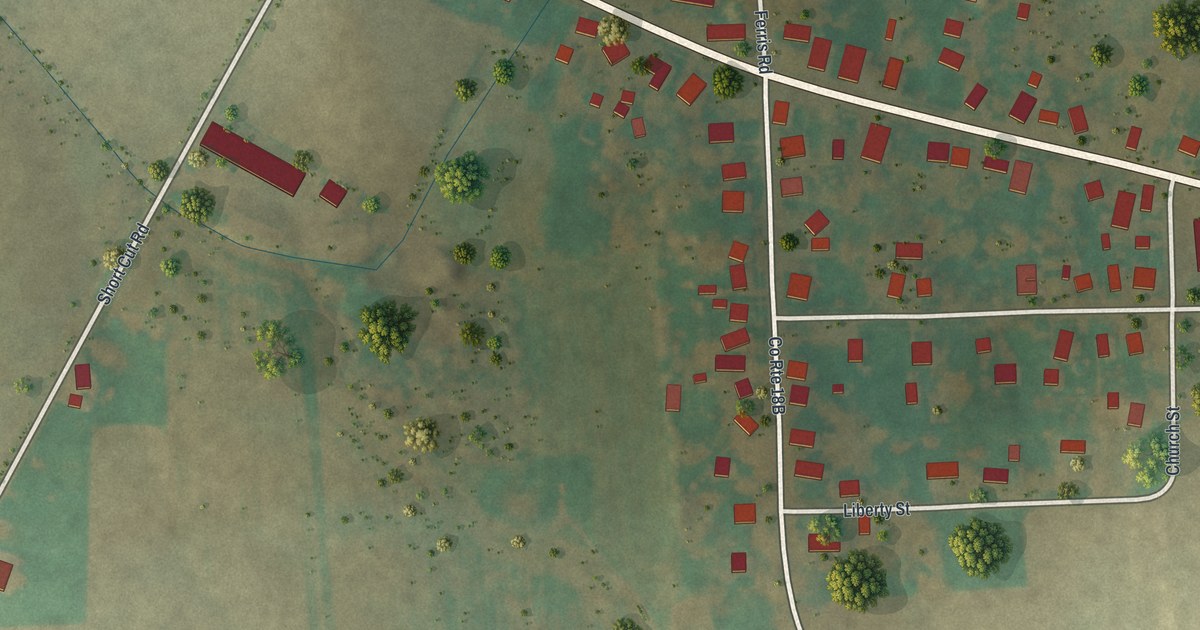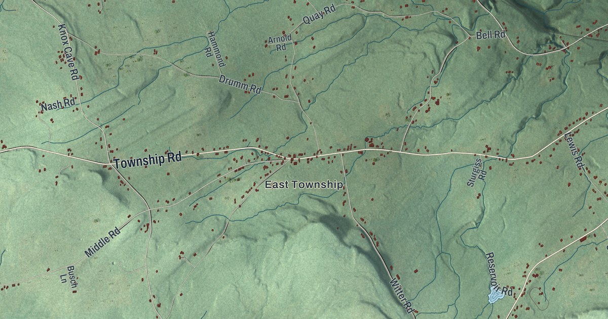
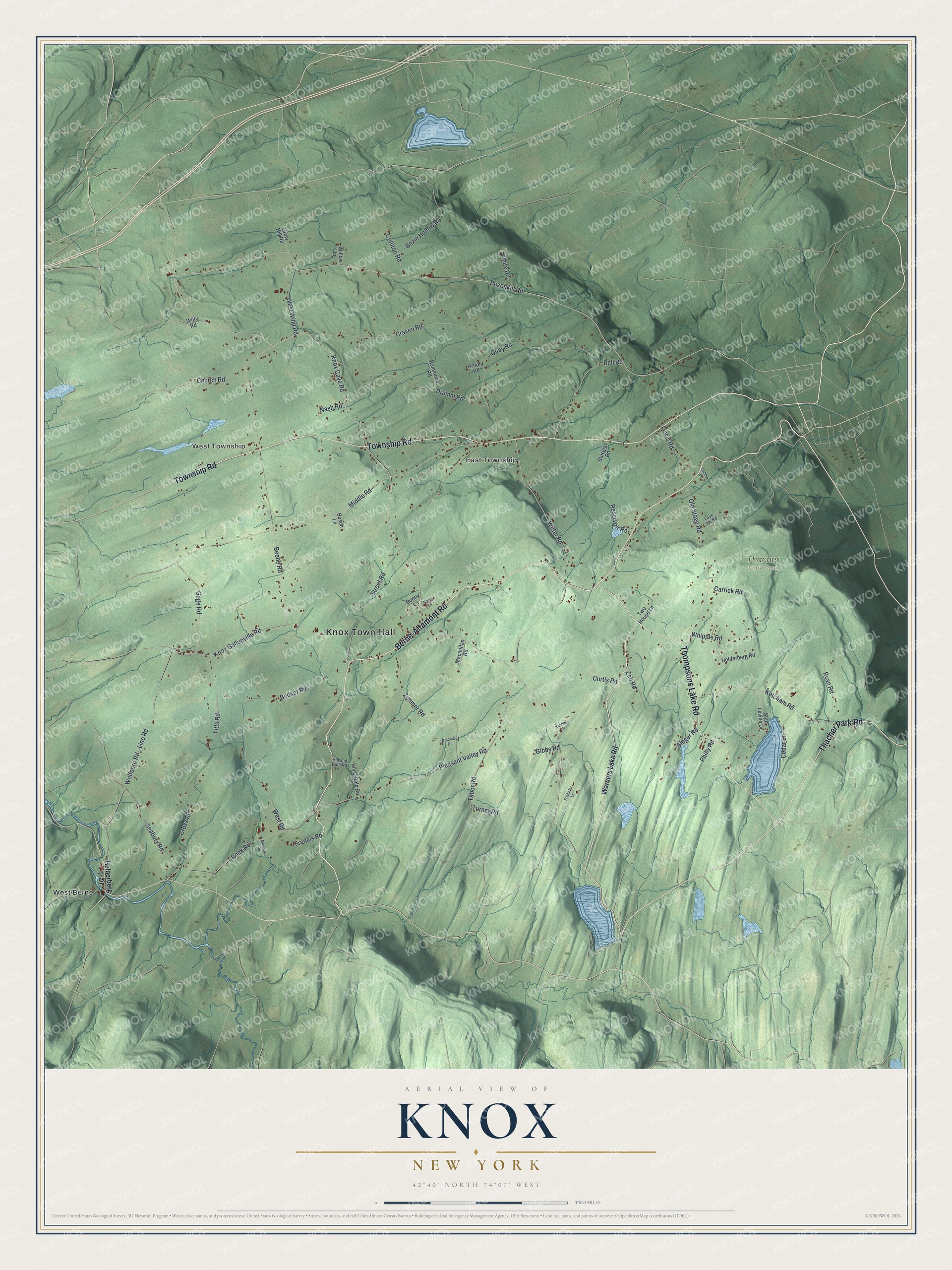
This beautifully detailed map of Knox, New York was created in 2026 using aerial imagery combined with modern topographical, census, street and landmark data. It’s a one-of-a-kind view of Knox that combines accurate data with a vintage aesthetic. The map shows every building in its true location, many of the roads carry their names, and the shaded topographic relief shows the shape of the land.
Explore an aerial view of Knox, New York
On the map you’ll find Knox Town Hall, West Township, East Township, West Berne, and Thacher State Park, along with Township Road, Berne-Altamont Road, Thompsons Lake Road, Thacher Park Road, and more. If you look closely you can even find your house accurately drawn in its correct location. Zoom in on the preview to look for yours.
Did You Know?
Knox became its own town in 1822, when it was split off from the Town of Berne. During the American Revolution, the people living here were divided in their loyalties. That quarrel ended when the Tories, who sided with the British, moved away.
Take a closer look at the Knox map
Names on this map
These names are printed on this map.
Places: Knox Town Hall, West Township, Thacher State Park, East Township and West Berne.
Streets and roads: Township Road, Berne-Altamont Road, Thompsons Lake Road, Thacher Park Road, Bozenkill Road, Knox Cave Road, Knox Gallupville Road, Church Road, Gage Road, Middle Road, Line Road, Wolfboro Road.
More street names, A to Z
Arnold Road, Becker Road, Beebe Road, Bell Road, Bozie Hollow Road, Bunny Lane, Busch Lane, Carrick Road, Cedar Lane, Colliton Road, Colonial Drive, Craven Road, Cross Road, Crow Hill Road, Curtis Road, Debbie Drive, Drumm Road, Francis Road, Friehofer Lane, Gibbs Road, Hammond Road, Helderberg Road, Helderberg Trail, Hill & Dale Road, Hill and Dale Road, Kendall Court, Ketcham Road, Lewis Road, Litts Road, Love Joy Road, Macmillan Road, Michienzi Road, Nancy Lane, Nash Road, Old Stage Road, Philly Road, Pleasant Valley Road, Quay Road, Reservoir Road, Rock Road, Ryan Road, Seabury Road, Singer Road, Stan Levine Drive, Street Road, Sturgiss Road, Tabor Road, Turner Road, Two House Lane, Warners Lake Road, West Road, West Wind Road, Whipple Road, White Road, Willow Lane, Wilty Road, Witter Road, Zeh Road, Zimmer Road.
See it on a wall
The Knox map as a framed print. Swipe for more.


This beautifully detailed map of Knox makes an attractive addition to your office, library, or den, and it can even be used to teach children the geography and history of the area. It also makes a great gift for someone who left Knox and still calls it home. When you’re done exploring, click here to get your copy of the Knox map.