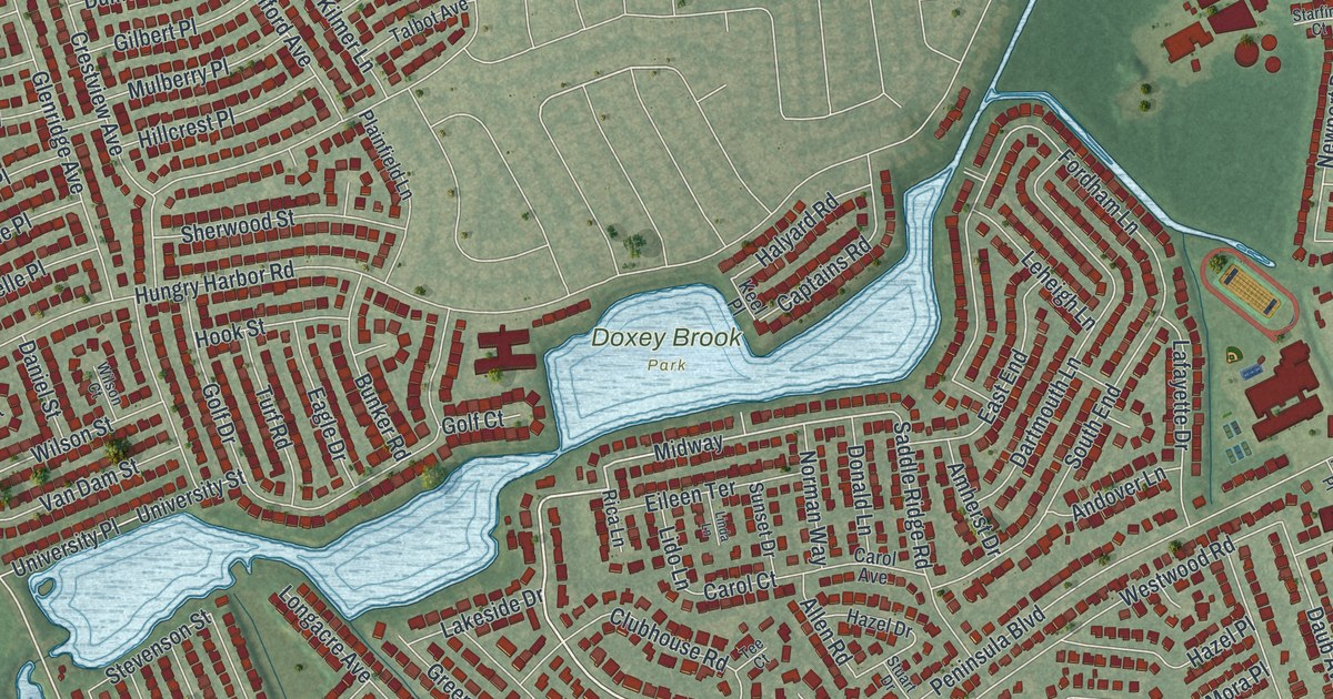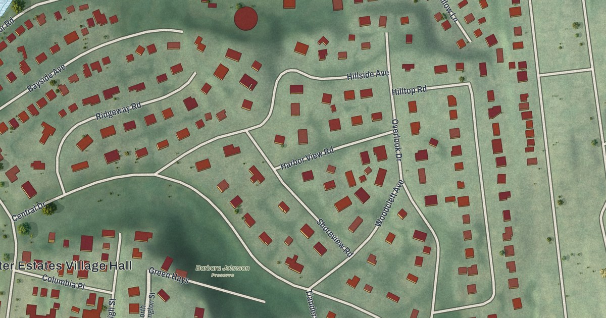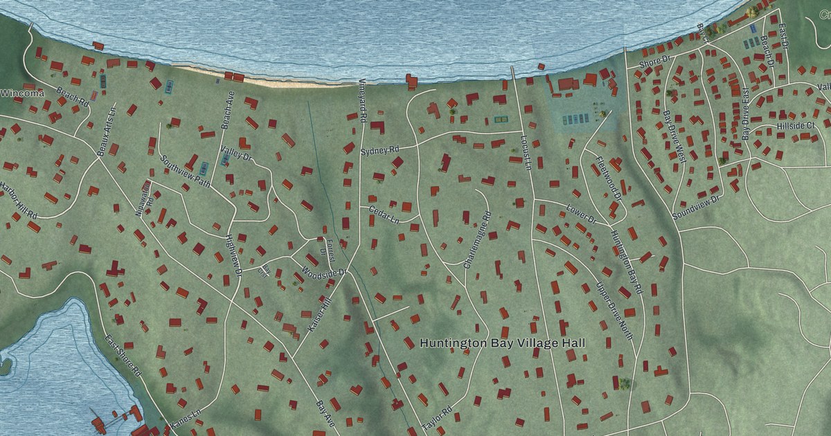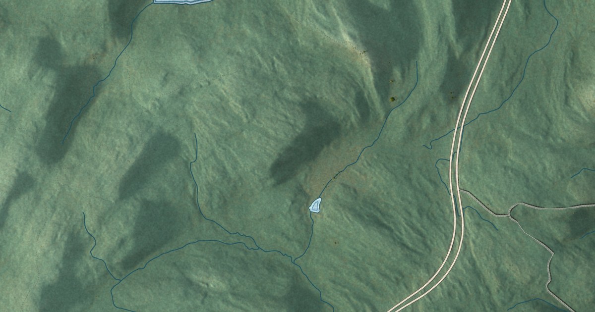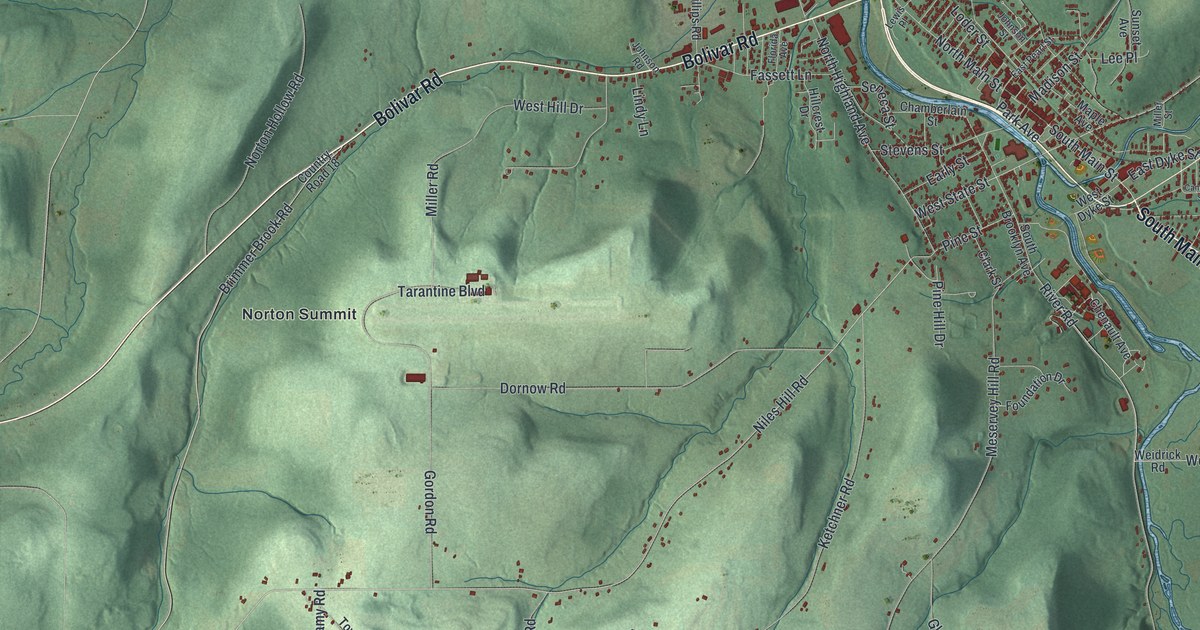
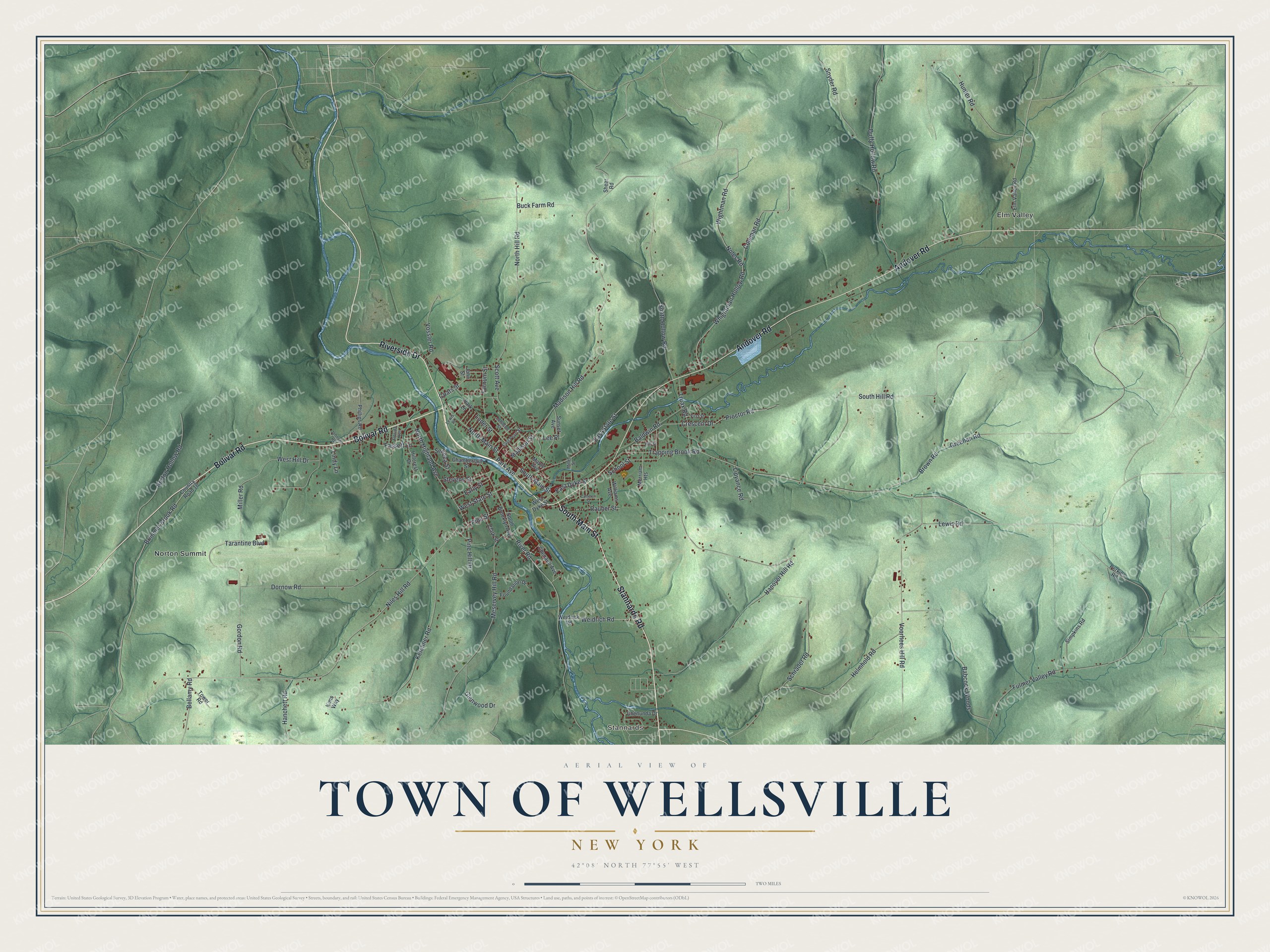
This beautifully detailed map of the Town of Wellsville, New York was created in 2026 using aerial imagery combined with modern topographical, census, street and landmark data. It’s a one-of-a-kind view of the Town of Wellsville that combines accurate data with a vintage aesthetic. The map shows every building in its true location, many of the roads carry their names, and the shaded topographic relief shows the shape of the land.
Explore an aerial view of the Town of Wellsville, New York
On the map you’ll find Stannards, Elm Valley, and Norton Summit, along with Stannards Road, Main Street, Bolivar Road, Andover Road, Riverside Drive, and more. If you look closely you can even find your house accurately drawn in its correct location. Zoom in on the preview to look for yours.
Did You Know?
Wellsville was settled in 1795. It was named for Gardiner Wells, an early settler and the chief landowner. The town prospered after the oil well Triangle No. 1 came in during 1879. That well got its name as the third of a set of wells forming a triangle. That’s from the 1940 WPA guide to New York.
Take a closer look at the Town of Wellsville map
Names on this map
These names are printed on this map.
Places: Stannards, Elm Valley and Norton Summit.
Streets and roads: Stannards Road, South Main Street, Bolivar Road, Andover Road, Riverside Drive, Niles Hill Road, East State Street, West State Street, Madison Hill Road, Coleman Road, Whightman Hollow Road, Brimmer Brook Road.
More street names, A to Z
Babcock Woods, Baldwin Road, Bellamy Road, Brown Road, Buck Farm Road, Cameron Street, Chamberlain Street, Chenault Avenue, Chenunda Drive, Clark Street, Coats Street, Country Road 18, Crescent Drive, Dornow Road, Duffy Hollow Road, Early Street, East Dyke Street, East Pearl Street, Elm Valley Road, Farnum Street, Fassett Lane, First Street, Florida Avenue, Foundation Drive, Fulmer Valley Road, Glenwood Drive, Gordon Road, Greenan Road, Hanchett Road, Hanover Hill Road, Helmhold Road, Hillcrest Drive, Hill Street, Hunter Road, Johnson Road, Johnson Street, John Street, Ketchner Road, Kims Way, Lee Place, Lewis Place, Lewis Road, Lindy Lane, Lipyance Road, Loder Street, Madison Street, Maple Avenue, Merriam Heights, Meservey Hill Road, Miller Road, Miller Street, Noles Road, North Highland Avenue, North Hill Road, North Main Street, Norton Hollow Road, Park Avenue, Park Lane, Perkins Road, Phillips Road, Pine Hill Drive, Pine Street, Proctor Road, Rauber Street, River Road, School Street, Schrader Road, Scott Avenue, Seneca Street, Shear Road, Simpkins Road, Smith Hollow Road, Snyder Road, South Brooklyn Avenue, South Hill Road, Stevens Street, Sunset Avenue, Tarantine Boulevard, Tower Road, Trapping Brook Road, Truax Road, Voorhees Hill Road, Vossler Road, Weidrich Road, Weidrick Road, West Dyke Street, West Hill Drive, Wightman Road, Williams Avenue.
See it on a wall
The Wellsville map as a framed print. Swipe for more.


This beautifully detailed map of the Town of Wellsville makes an attractive addition to your office, library, or den, and it can even be used to teach children the geography and history of the area. It also makes a great gift for someone who left the Town of Wellsville and still calls it home. When you’re done exploring, click here to get your copy of the Town of Wellsville map.