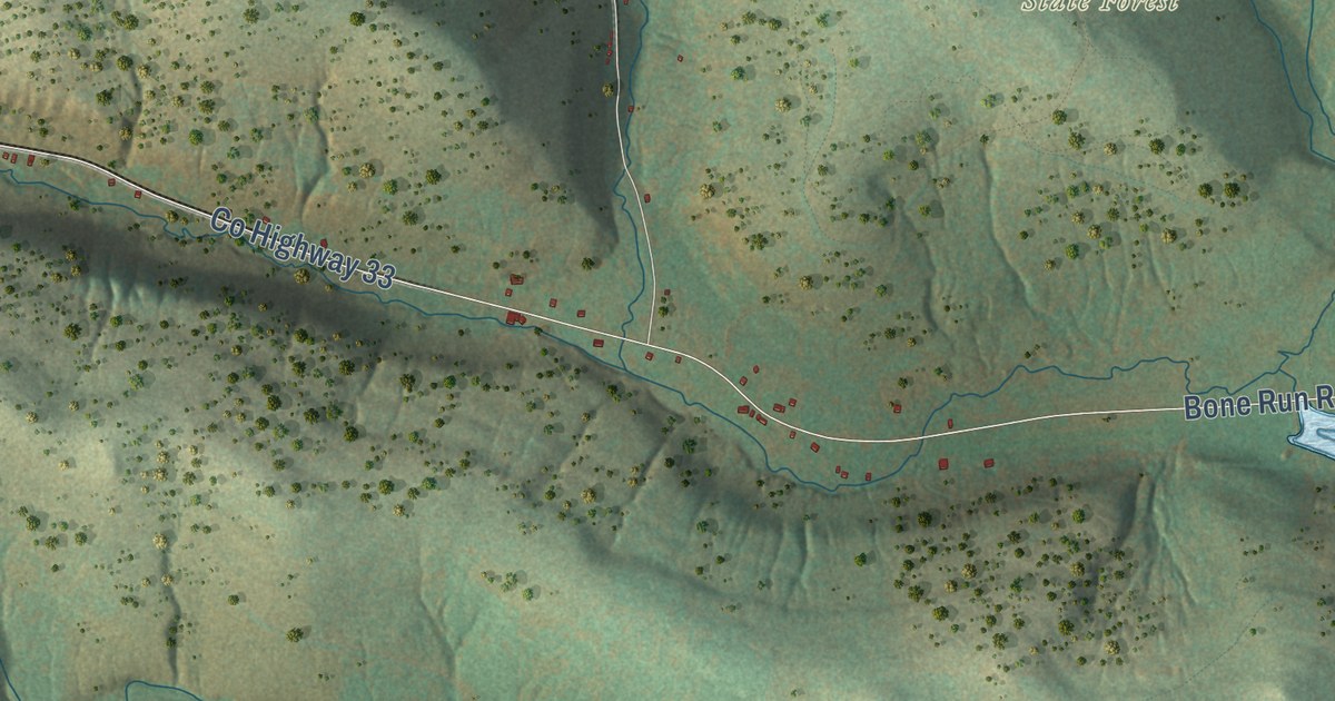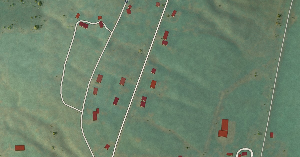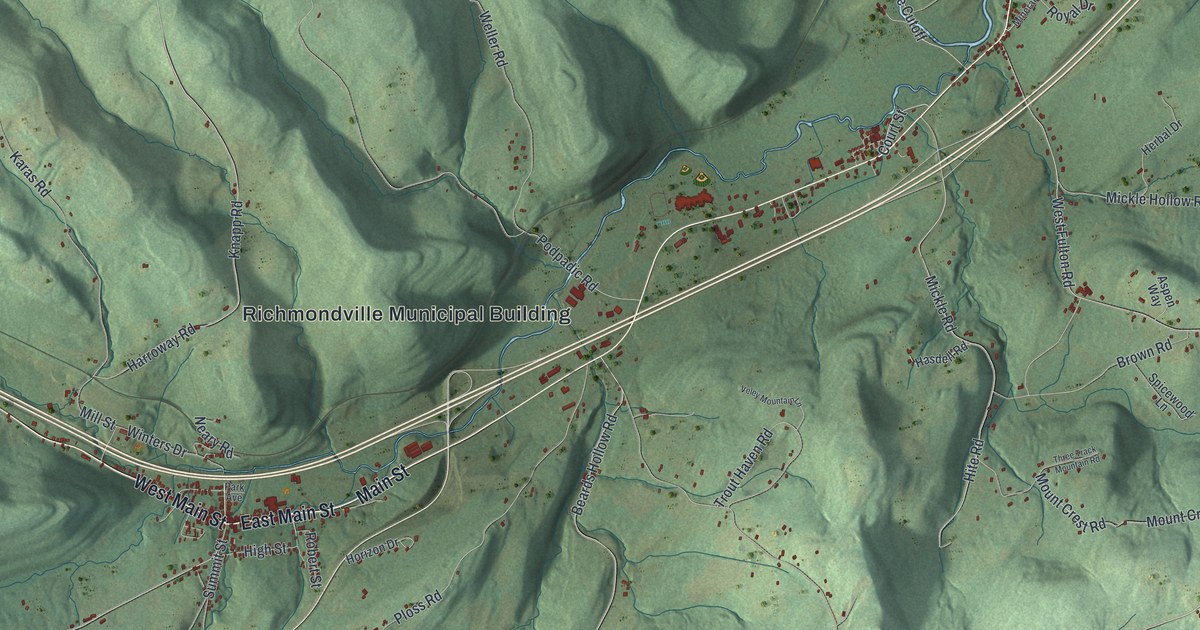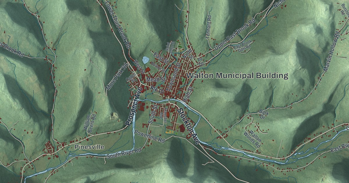
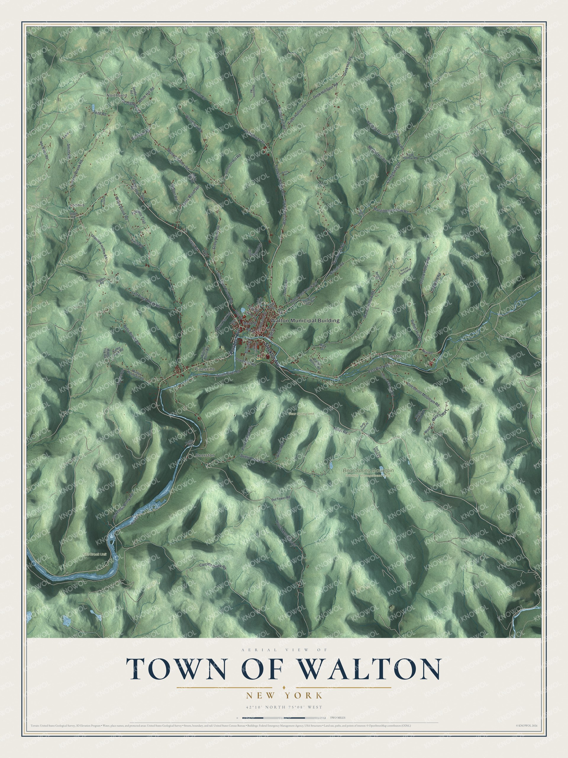
This beautifully detailed map of the Town of Walton, New York was created in 2026 using aerial imagery combined with modern topographical, census, street and landmark data. It’s a one-of-a-kind view of the Town of Walton that combines accurate data with a vintage aesthetic. The map shows every building in its true location, many of the roads carry their names, and the shaded topographic relief shows the shape of the land.
Explore an aerial view of the Town of Walton, New York
On the map you’ll find Walton Municipal Building, Northfield, Beerston, Colchester, Loomis, Pinesville, and Bear Spring Mountain Wildlife Management Area, along with Stockton Avenue, Prospect Avenue, Tower Road, South Street, and more. If you look closely you can even find your house accurately drawn in its correct location. Zoom in on the preview to look for yours.
Did You Know?
Settlers first came in 1785, close to where the village of Walton now stands. The town was carved out of Franklin in 1797. Today Walton calls itself the Scarecrow Capital of the World.
Take a closer look at the Town of Walton map
Names on this map
These names are printed on this map.
Places: Walton Municipal Building, Northfield, Bear Spring Mountain Wildlife Management Area, Bear Spring Unit, Fish Brook Unit, Beerston, Colchester, Loomis and Pinesville.
Streets and roads: Stockton Avenue, Prospect Avenue, Tower Road, South Street, Pines Brook Road, West Brook Road, Macgibbon Hollow Road, Franklin-Walton Road, East Brook Road, Dunk Hill Road, Beers Brook Road, Houck Mountain Road.
More street names, A to Z
Abe Boice Road, Armstrong Road, Ballard Drive, Bark Drive, Beebe Road, Bill Finch Road, Bob Gould Road, Bobs Brook Road, Botsford Road, Budine Hill Road, Budine Road, Burton Street, Carcass Brook Road, Chipmunk Hollow Road, Colchester Mountain Road, County Highway 21, County Highway 22, County Highway 23, Crawford Road, Dagostino Road, Davis Road, Dot Tower Road, Dryden Road, Dunk Hill Spur Road, East Brook Dam Road, East River Road, East Street, East Trout Brook Road, Feak Hollow Road, Fish Hollow Road, Fitch Road, Fletcher Road, Francher Avenue, Freer Hollow Road, Gosper Road, High Street, Iroquios Trail, Jenkins Road, John Lockwood Road, Johnson Hill Road, Kellogg Road, Left Pines Brook Road, Loomis Brook Road, Lower Third Brook Road, Maple Top Road, Marvin Hollow Road, Mary's Way, McCall Hill Road, Mead Street, Miller Road, More Park Road, Neal Road, Nichols Road, North Street, Nyc Road, Ogden Street, Oxbow Hollow Road, Palmer Hill Road, Plow Hollow Road, Powerline Road, Pr Drive, Radio Station Road, Rod and Gun Club Road, Route 10, Runion Road, Russell Road, Saint John Street, Scott Road, Seely Wood, Seely Wood Road, Seely Wood Spr, Smith, Smith Road, South River Road, Teed Road, Telford Hollow, Tennant Road, Townsend Street, Tuttle Road, Upper East Brook Road, Valley View Road, Wakeman Brook Road, Walton-Sidney Road, Walton Mountain Road, Walton Woods Road, Weber Road, Weed Brook Road, West Street, White Hill Road, William Beers Road, Wood Lane, Woodlawn Road.
See it on a wall
The Walton map as a framed print. Swipe for more.


This beautifully detailed map of the Town of Walton makes an attractive addition to your office, library, or den, and it can even be used to teach children the geography and history of the area. It also makes a great gift for someone who left the Town of Walton and still calls it home. When you’re done exploring, click here to get your copy of the Town of Walton map.