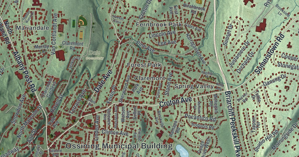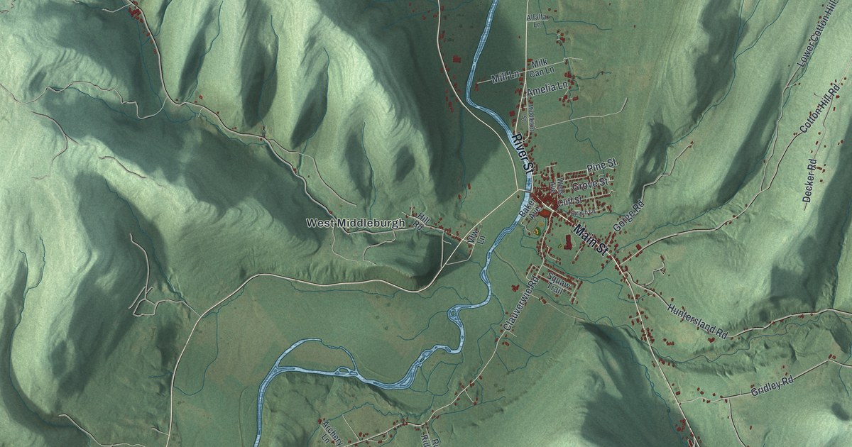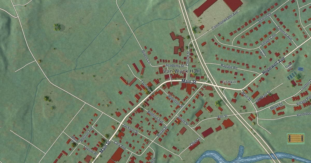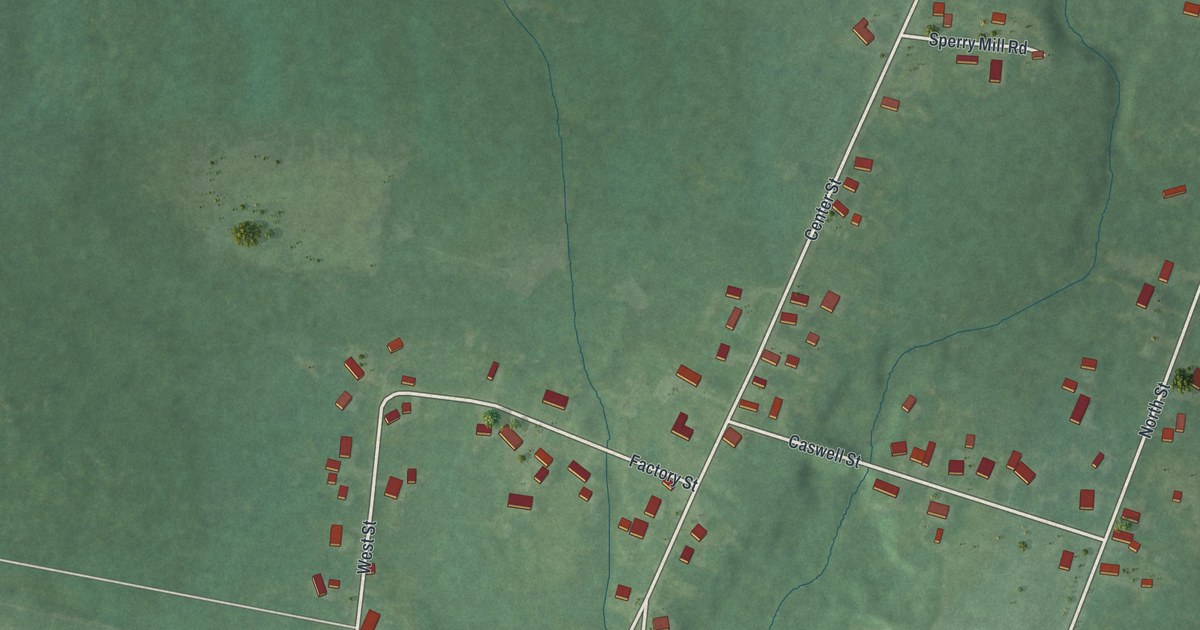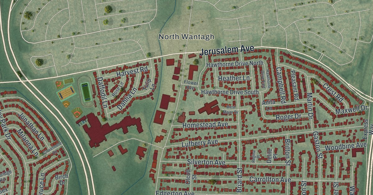
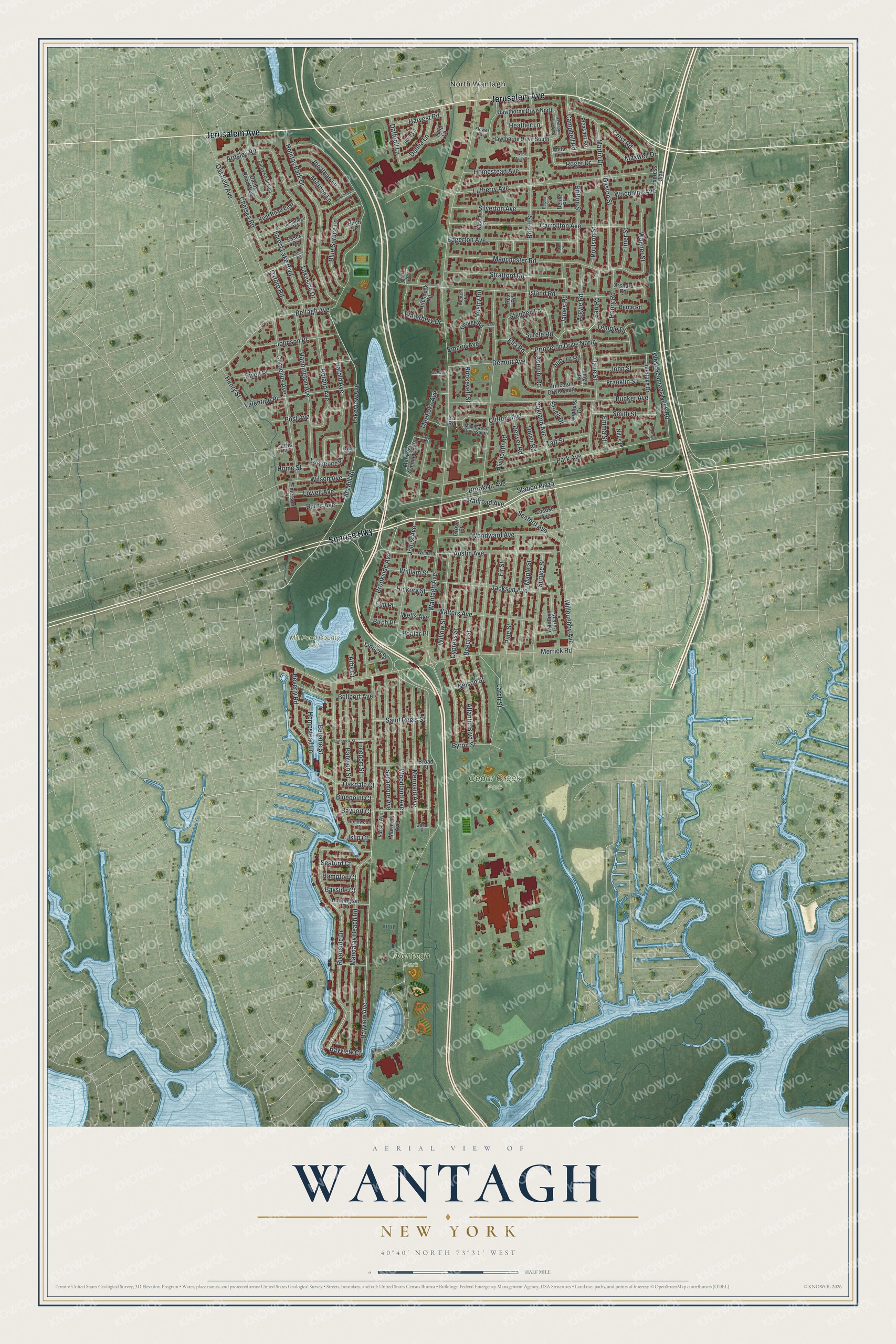
This beautifully detailed map of Wantagh, New York was created in 2026 using aerial imagery combined with modern topographical, census, street and landmark data. It’s a one-of-a-kind view of Wantagh that combines accurate data with a vintage aesthetic. The map shows every building in its true location, many of the roads carry their names, and the shaded topographic relief shows the shape of the land.
Explore an aerial view of Wantagh, New York
On the map you’ll find North Wantagh, Cedar Creek Park, and Mill Pond County Park, along with Sunrise Highway, Jerusalem Avenue, Riverside Drive, Bayview Avenue, Jane Street, and more. If you look closely you can even find your house accurately drawn in its correct location. Zoom in on the preview to look for yours.
Did You Know?
Early settlers called this place Jerusalem, and its first post office opened under that name in 1837. Around the 1880s the village became Ridgewood. Another New York town already had that name. So Ridgewood was renamed Wantagh to end the confusion.
Take a closer look at the Wantagh map
Names on this map
These names are printed on this map.
Places: North Wantagh, Cedar Creek Park, Mill Pond County Park and Wantagh Park.
Streets and roads: Sunrise Highway, Jerusalem Avenue, Riverside Drive, Bayview Avenue, Jane Street, Wantagh Avenue, Beech Street, Beltagh Avenue, Park Avenue, Lakeview Avenue, Old Mill Road, Merrick Road.
More street names, A to Z
Adam Place, Adelphi Road, Amherst Drive, Anita Lane, Arby Court, Ardsley Road, Argyle Road, Atlantic Boulevard, Auburn Road, Austin Avenue, Babylon Street, Bayport Court, Bayside Court, Bayview Court, Bellaire Street, Bellport Avenue, Berne Road, Beverly Road, Birch Drive, Birch Place, Bluepoint Court, Blue Spruce Lane, Brentwood Court, Briard Street, Britton Street, Broad Street, Brooklyn Avenue, Brookside Avenue, Bunker Avenue, Burns Avenue, Byron Street, Cambridge Road, Campbell Road, Canal Place, Carrollton Avenue, Chelsea Road, Church Road, Clifton Boulevard, Clovermere Road, Cornelius Avenue, Crest Road, Curtis Place, Cypress Street, Daffodil Lane, Dahlia Lane, Darby Road East, Darby Road West, Delile Place, Demott Avenue, Denver Road, Dover Road, Earl Road, Eaton Road, Edgerton Avenue, Ella Road, Elmer Street, Elm Place, Emeric Avenue, Emerson Place, Emma Street, Ercell Drive, Essex Road, Ewell Place, Express Way, Faye Lane, Fir Street, Flower Avenue, Forest Lake Boulevard, Franklin Street, Freeport Street, Gaston Street, George Road, Grove Street, Hampton Court, Hannington Avenue, Harold Avenue, Harvest Road, Hawthorne Drive East, Hawthorne Drive North, Hawthorne Drive South, Heather Lane, Hempstead Lane, Henry Road, Henry Street, Hickory Street, Hitchcock Road, Holiday Park Drive, Homestead Avenue, Home Street, Huntington Court, Interlake Drive, Ira Road, Island Road, Islip Court, Jackson Avenue, James Road, Jeffrey Court, Jennie Road, Johnson Place, John Street, Jonathan Lane, Jones Avenue, Kent Road East, Lakeside Drive, Larch Street, Lawrence Place, Lehigh Road, Linden Street, Locust Avenue, Lowell Avenue, Lufberry Avenue, Lynbrook Street, Manchester Road, Mandalay Beach Road, Maple Street, Maplewood Drive South, Mariners Avenue, Martin Drive, Maxwell Drive, Merikoke Avenue, Merikoke Avenue South, Mermaid Avenue, Milanna Lane, Nassau Avenue, Nelson Street, Nitas Place, Oakdale Court, Oakfield Avenue, Oakland Avenue, Olcott Street, Orchard Road, Oxford Road, Pine Street, Pleasant Road, Plymouth Road, Poplar Place, Post Avenue, Poulson Street, Princeton Drive North, Princeton Drive South, Railroad Avenue, Regina Place, Rex Road, Roger Drive, Roland Avenue, Roosevelt Street, Rose Lane, Ryder Place, Saint Regis Street, Seaford Avenue, Seaford Court, Seneca Place, Silverton Avenue, Smith Street, Spruce Street, Station Plaza, Stephen Lane, Stratford Road, Surele Road, Sycamore Avenue, Taft Street, Temple Drive, Tulip Lane, Valentine Place, Van Place, Vestry Road, Wagner Street, Walters Avenue, Wantagh Park Drive, Waterbury Drive, Wells Avenue, West Major Drive, West Seamans Neck Road, William Street, Willoughby Avenue, Willow Street, Wilmarth Place, Wilson Avenue, Woodbine Avenue, Woodland Avenue, Woodward Avenue.
See it on a wall
The Wantagh map as a framed print. Swipe for more.


This beautifully detailed map of Wantagh makes an attractive addition to your office, library, or den, and it can even be used to teach children the geography and history of the area. It also makes a great gift for anyone with Wantagh roots. When you’re done exploring, click here to get your copy of the Wantagh map.