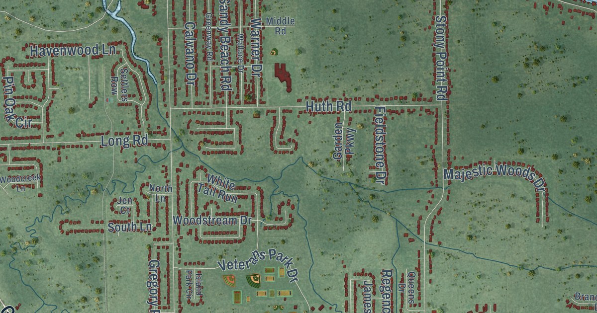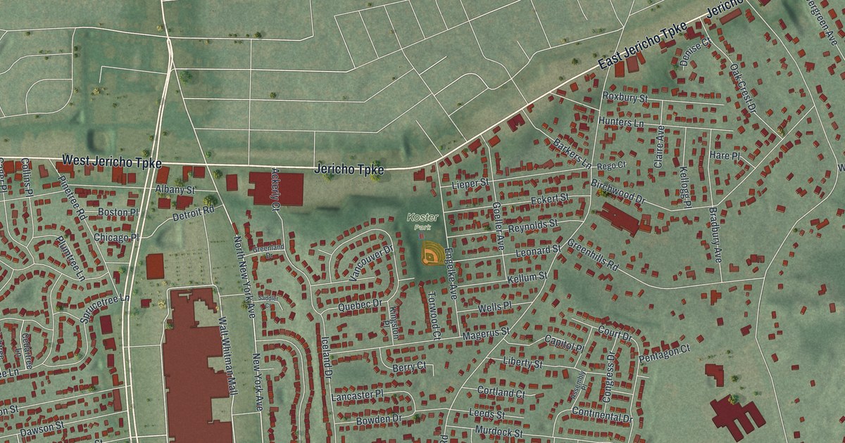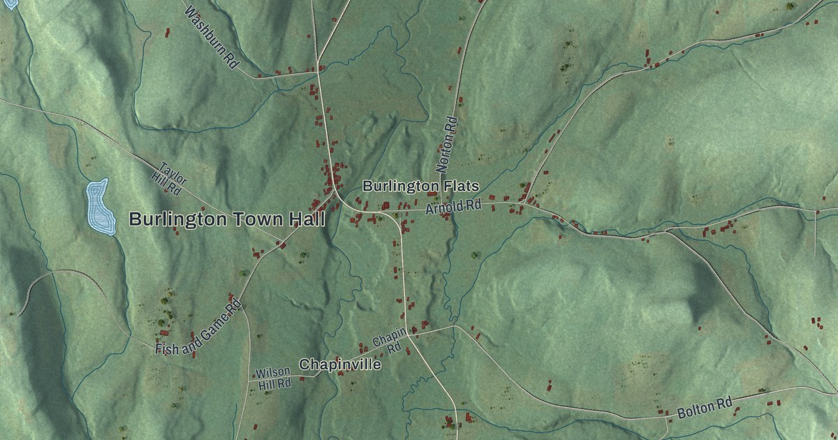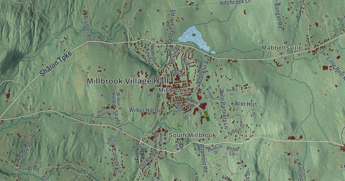
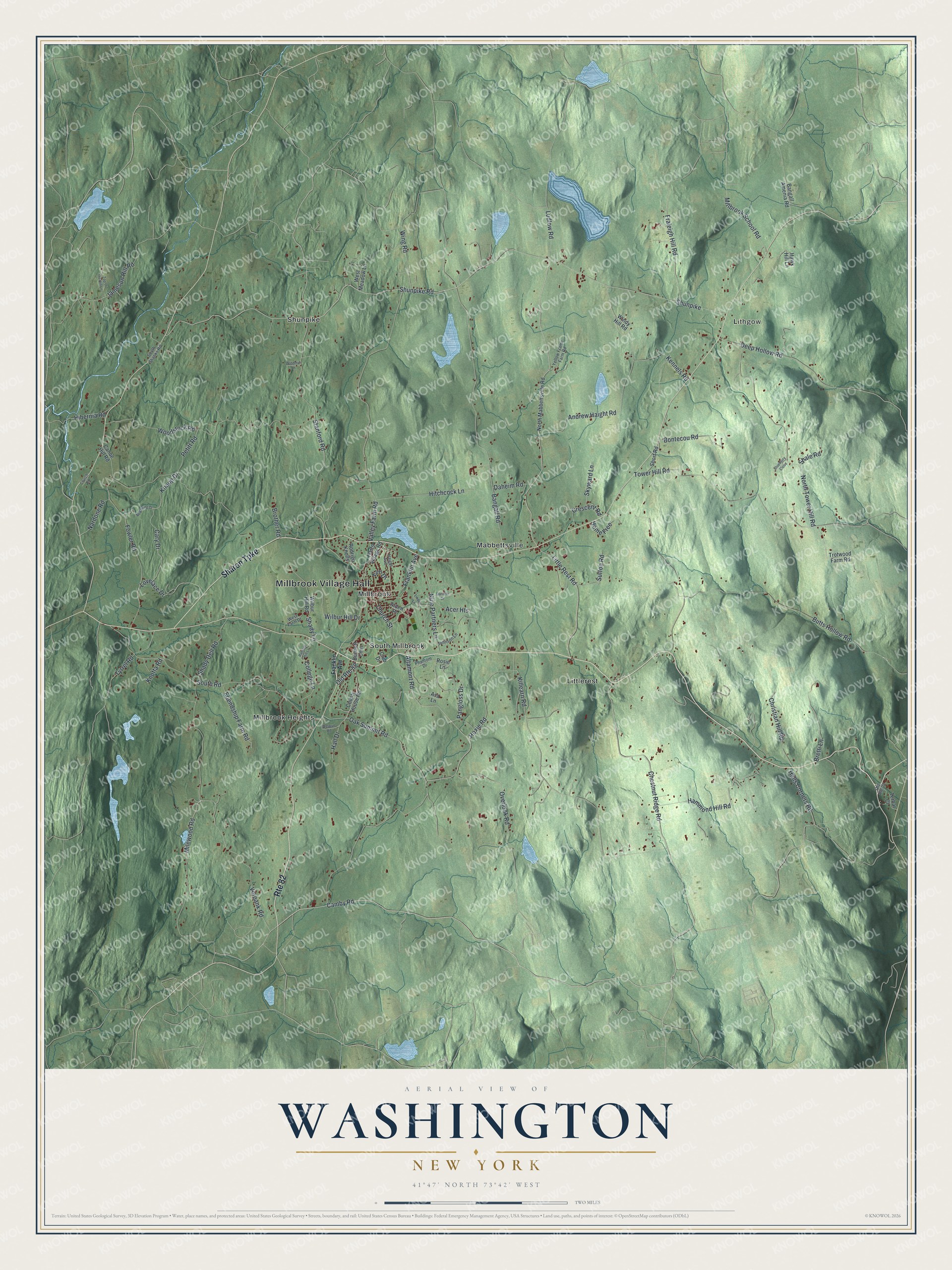
This beautifully detailed map of Washington, New York was created in 2026 using aerial imagery combined with modern topographical, census, street and landmark data. It’s a one-of-a-kind view of Washington that combines accurate data with a vintage aesthetic. The map shows every building in its true location, many of the roads carry their names, and the shaded topographic relief shows the shape of the land.
Explore an aerial view of Washington, New York
On the map you’ll find Millbrook Village Hall, Lithgow, Littlerest, Mabbettsville, Millbrook, and Millbrook Heights, along with Sharon Turnpike, Stanford Road, Shunpike Road, Lovelace Drive, and more. If you look closely you can even find your house accurately drawn in its correct location. Zoom in on the preview to look for yours.
Did You Know?
Washington takes its name from George Washington, who traveled through the area during the Revolution. The town was created in 1788 as one of the county’s first twelve towns. A railroad crossed it from north to south in 1869.
Take a closer look at the Washington map
Names on this map
These names are printed on this map.
Places: Millbrook Village Hall, Lithgow, Littlerest, Mabbettsville, Millbrook, Millbrook Heights, Shunpike and South Millbrook.
Streets and roads: Route 82, Sharon Turnpike, Stanford Road, Shunpike Road, Lovelace Drive, Camby Road, Old Route 82, Chestnut Ridge Road, Knapp Drive, Franklin Avenue, Bangall Road, Oak Summit Road.
More street names, A to Z
Acer Heights, Alden Place, Altamont Road, Andrew Haight Road, Ava Lane, Bangall - Amenia Road, Bennett Cmn, Blueberry Close, Bontecou Road, Bretti Lane, Brother Road, Butts Hollow Road, Canoe Hill Road, Cary Drive, Christian Hill Road, Church Road, Church Street, Club Drive, College Lane, County House Road, Crescent Road, Daheim Road, Daniele Drive, Deep Hollow Road, Elm Drive, Fowler Road, Fraleigh Hill Road, Friendship Farm Road, Haight Avenue, Hall Drive, Halls Corners Road, Hammond Hill Road, Harts Village Road, Hawk Hill Lane, Hibernia Road, Hitchcock Lane, Home Free, Hoxie Road, Jameson Hill Road, Johnson Lane, Kennels Road, Killearn Road, Knotta Road, Linden Lane, Little Rest Road, Ludlow Road, Milewood Road, Millbrook School Road, Nardone Road, Nine Partners Lane, North Mabbettsville Road, North Tower Hill Road, Old Route 22, Overlook Road, Pangloss Drive, Petitt Road, Phantom Drive, Ramble Hill Lane, Red Wing Drive, Rodrigo Knolls, Rosie Lane, Shady Dell Road, Shady Lane, Shale Road, Short Road, Skyward Lane, South Road, South Shanks Road, Sutton Road, Terbar Court, Top of the Hill Lane, Tower Hill Road, Trotwood Farm Road, Tyrrel Road, Valley Farm Road, Verbank Road, Welwyn Road, West Farm Drive, West Meadow Lane, Wilbur Hill Drive, Wilbur Hill Road, Windmill Lane, Windy Hill Road, Wing Road, Woodstock Road, Yellow Frame Farm Road.
See it on a wall
The Washington map as a framed print. Swipe for more.


This beautifully detailed map of Washington makes an attractive addition to your office, library, or den, and it can even be used to teach children the geography and history of the area. It also makes a great gift for someone who left Washington and still calls it home. When you’re done exploring, click here to get your copy of the Washington map.