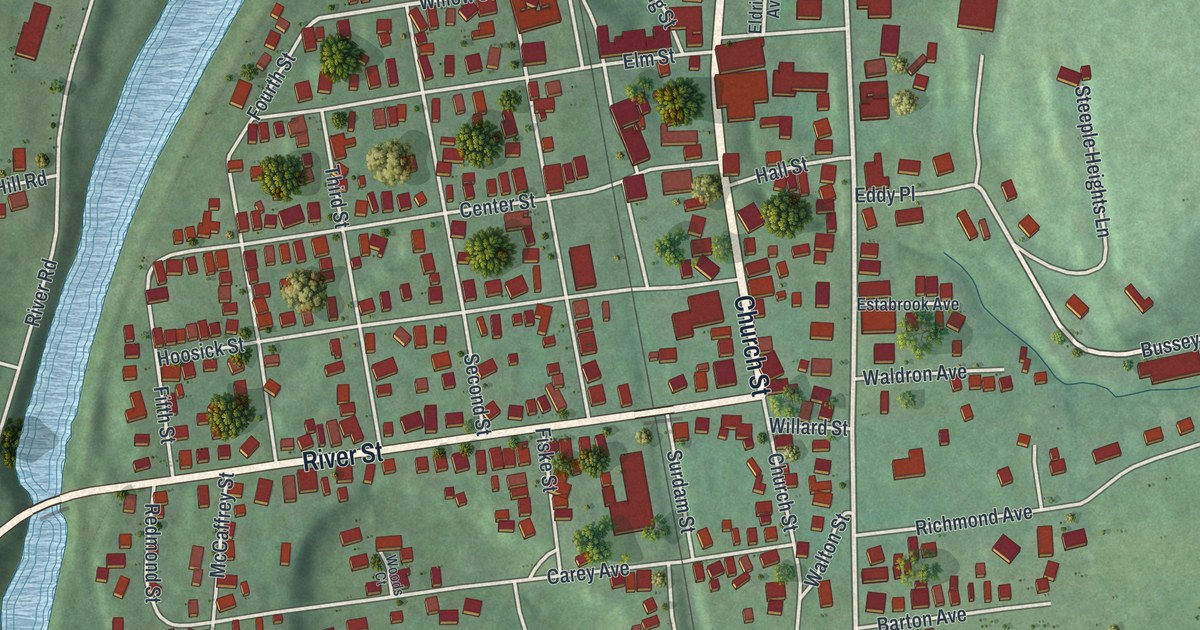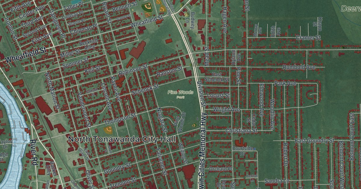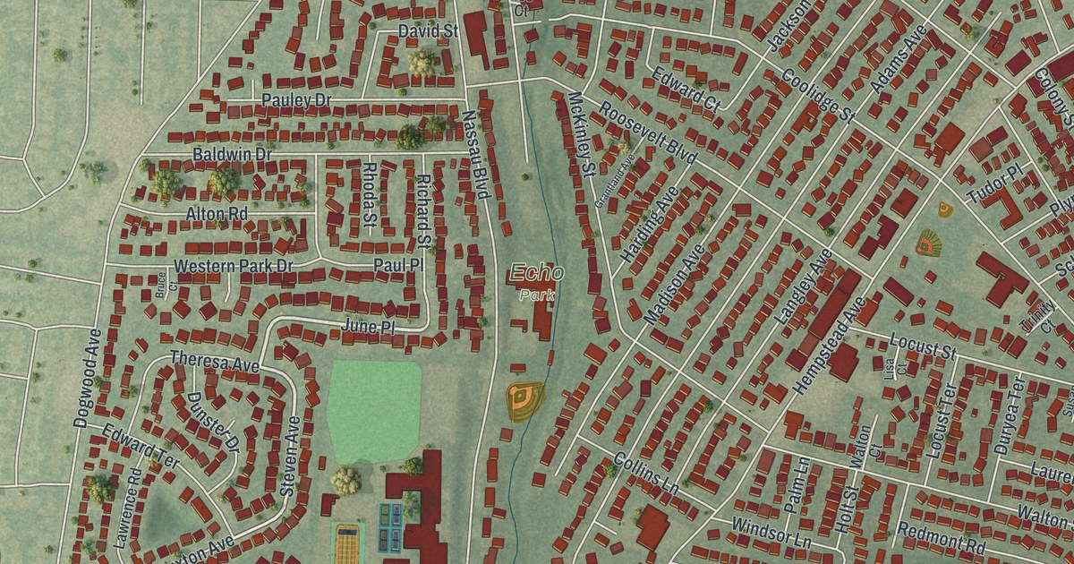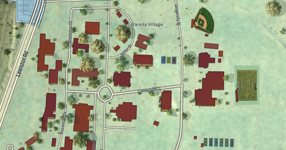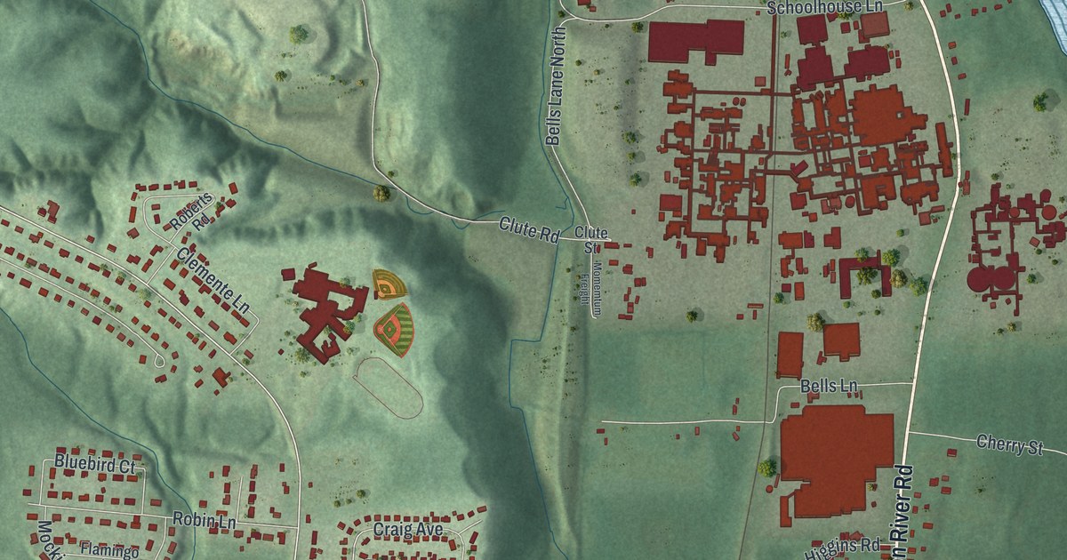
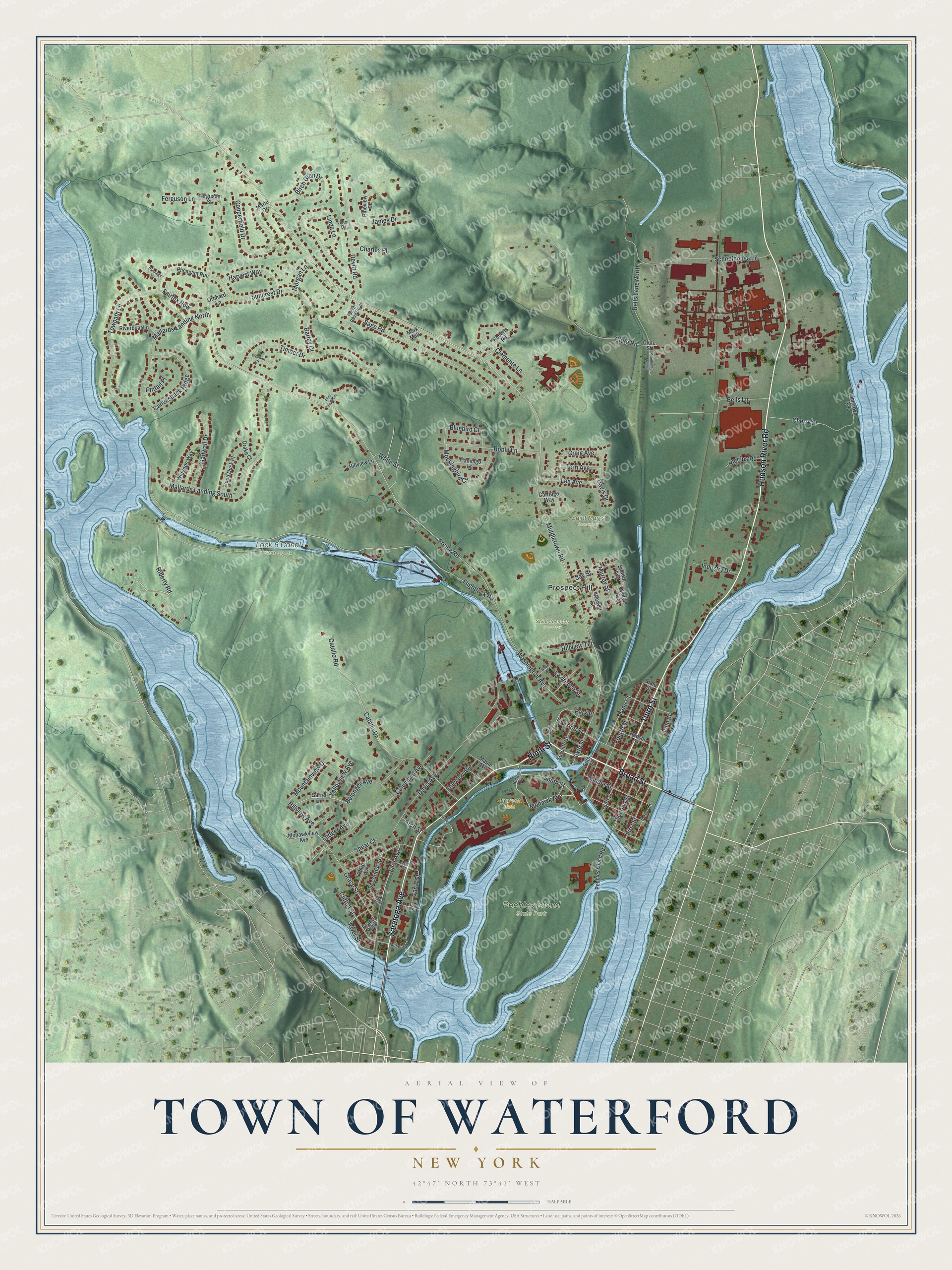
This beautifully detailed map of the Town of Waterford, New York was created in 2026 using aerial imagery combined with modern topographical, census, street and landmark data. It’s a one-of-a-kind view of the Town of Waterford that combines accurate data with a vintage aesthetic. The map shows every building in its true location, many of the roads carry their names, and the shaded topographic relief shows the shape of the land.
Explore an aerial view of the Town of Waterford, New York
On the map you’ll find Prospect Hill, Peebles Island State Park, Saint Josephs Cemetery, and Saint Marys Cemetery, along with Broad Street, Ninth Street, Hudson River Road, Saratoga Avenue, Third Street, and more. If you look closely you can even find your house accurately drawn in its correct location. Zoom in on the preview to look for yours.
Did You Know?
Waterford’s village became a corporation in 1794, making it the oldest incorporated village in the United States. It existed before the town did. The town was split off from Halfmoon in 1816 and took the village’s name.
Take a closer look at the Town of Waterford map
Names on this map
These names are printed on this map.
Places: Lock 6 Canal State Park, Peebles Island State Park, Saint Josephs Cemetery, Saint Marys Cemetery, Garrett Field and Prospect Hill.
Streets and roads: Broad Street, Ninth Street, Hudson River Road, Saratoga Avenue, Third Street, Riberty Road, Mohawk Avenue, Flightlock Road, Bells Lane North, Hillview Avenue, Mountainview Drive, Middletown Road.
More street names, A to Z
Arch Street, Barley Court, Belanger Avenue, Bells Lane, Birch Glen Drive, Bluebird Court, Burton Avenue, Canal Street, Canvasback Ridge, Carriage Way, Catallo Drive, Catallo Road, Charles Place, Charles Street, Cherry Street, Clemente Lane, Clifton Street, Clinton Avenue, Clute Road, Clute Street, Columbus Avenue, Copperfield Drive, Craig Avenue, Davis Avenue, Davis Drive, Devitt Road, Devitt Road South, Division Street, Drake Court, Eighth Street, Elmgrove Avenue, Fairfax Row, Fairview Avenue, Fane Court, Ferguson Lane, Ferguson Street, Fifth Street, First Avenue, First Street, Flamingo Lane, Fonda Road, Fourth Street, Fulton Street, Gadwall Drive, Garret Drive, Grace Street, Grand Alley, Harvest Way, Higgins Road, Hill Street, Hillview Lane, Hillview Terrace, Hudson Street, Industry Drive, James Drive, Jay Street, John Street, Knox Street, Lawrence Street, Lea Avenue, Ledger Avenue, Linda Lane, Mallards Landing North, Mallards Landing South, Maple Avenue, Marie Drive, Mark Mall, Middle Street, Mockingbird Court, Mohawkview Avenue, Momemtum Freight, Morgan Lane, Murray Street, Museum Lane, O'Connor Street, Orchard Lane, Parker Lane, Park Place, Partridge Lane, Pebbles Island Road, Pheasant Run, Pine Park Terrace, Pineview Court, Pintail Place, Riverboat Lane, River Street, Roberts Road, Robin Lane, Sage Road, Schoolhouse Lane, Second Avenue, Second Street, Seventh Street, Shear Court, Sidney Avenue, Sixth Street, South Street, State Street, Suncrest Drive, Terri Avenue, Third Avenue, Timber Drive, Towpath Lane, Valleyview Avenue, Victor Drive, Washington Avenue, Weaver Street, White Street, Widgeon Way, Wood Duck Place, Woodlot Court.
See it on a wall
The Waterford map as a framed print. Swipe for more.


This beautifully detailed map of the Town of Waterford makes an attractive addition to your office, library, or den, and it can even be used to teach children the geography and history of the area. It also makes a great gift for anyone who grew up in the Town of Waterford or moved away. When you’re done exploring, click here to get your copy of the Town of Waterford map.