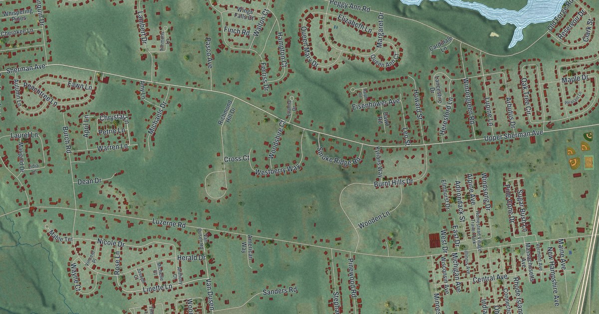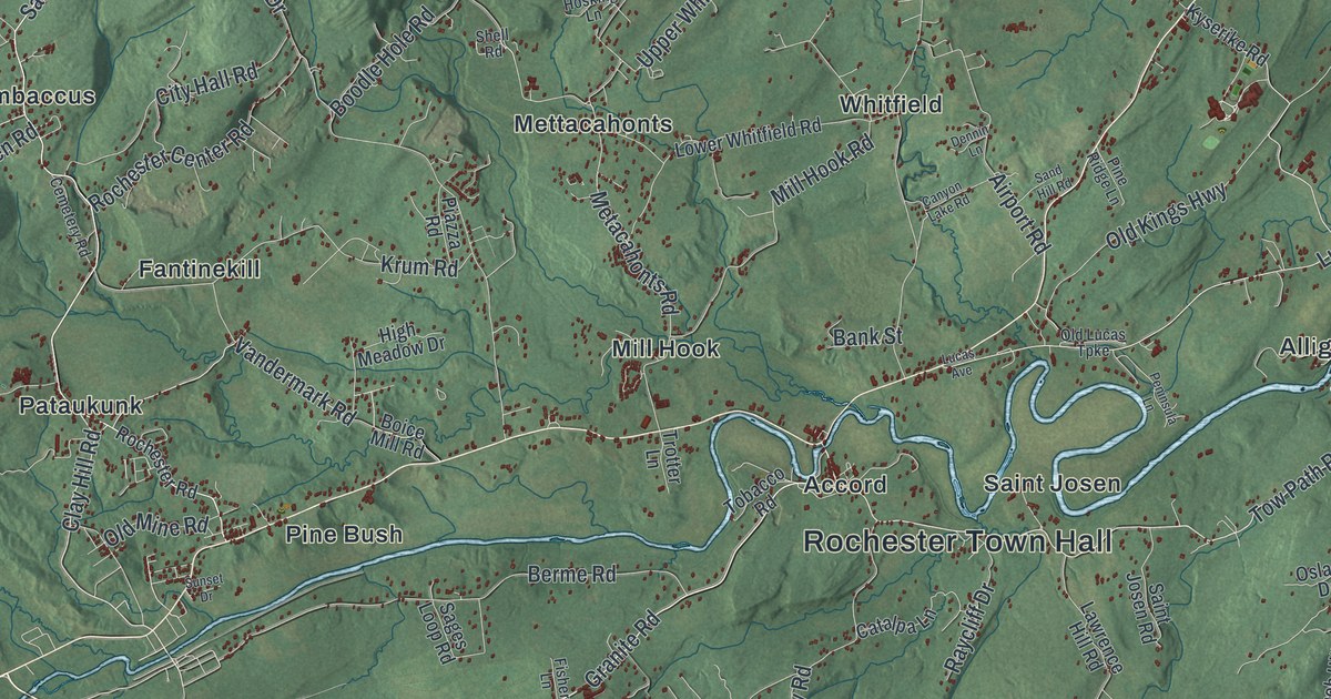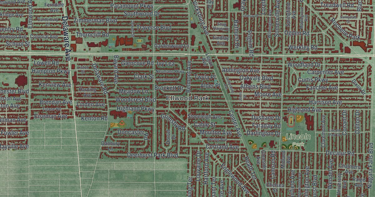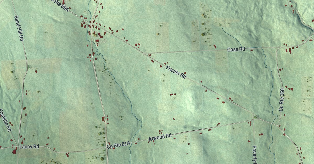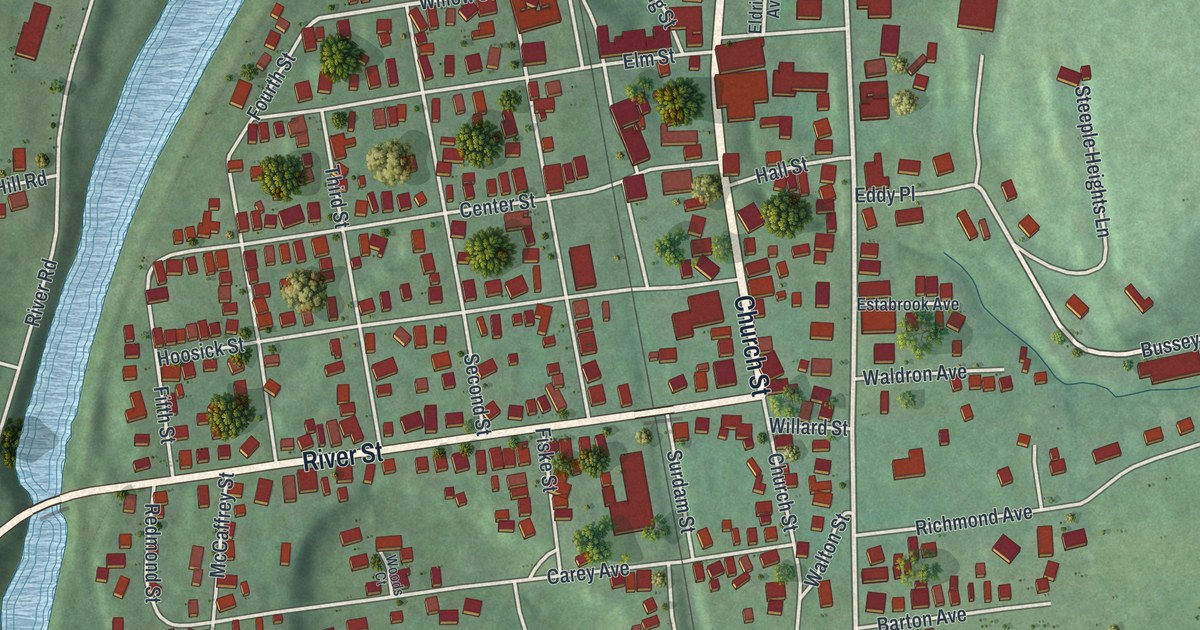
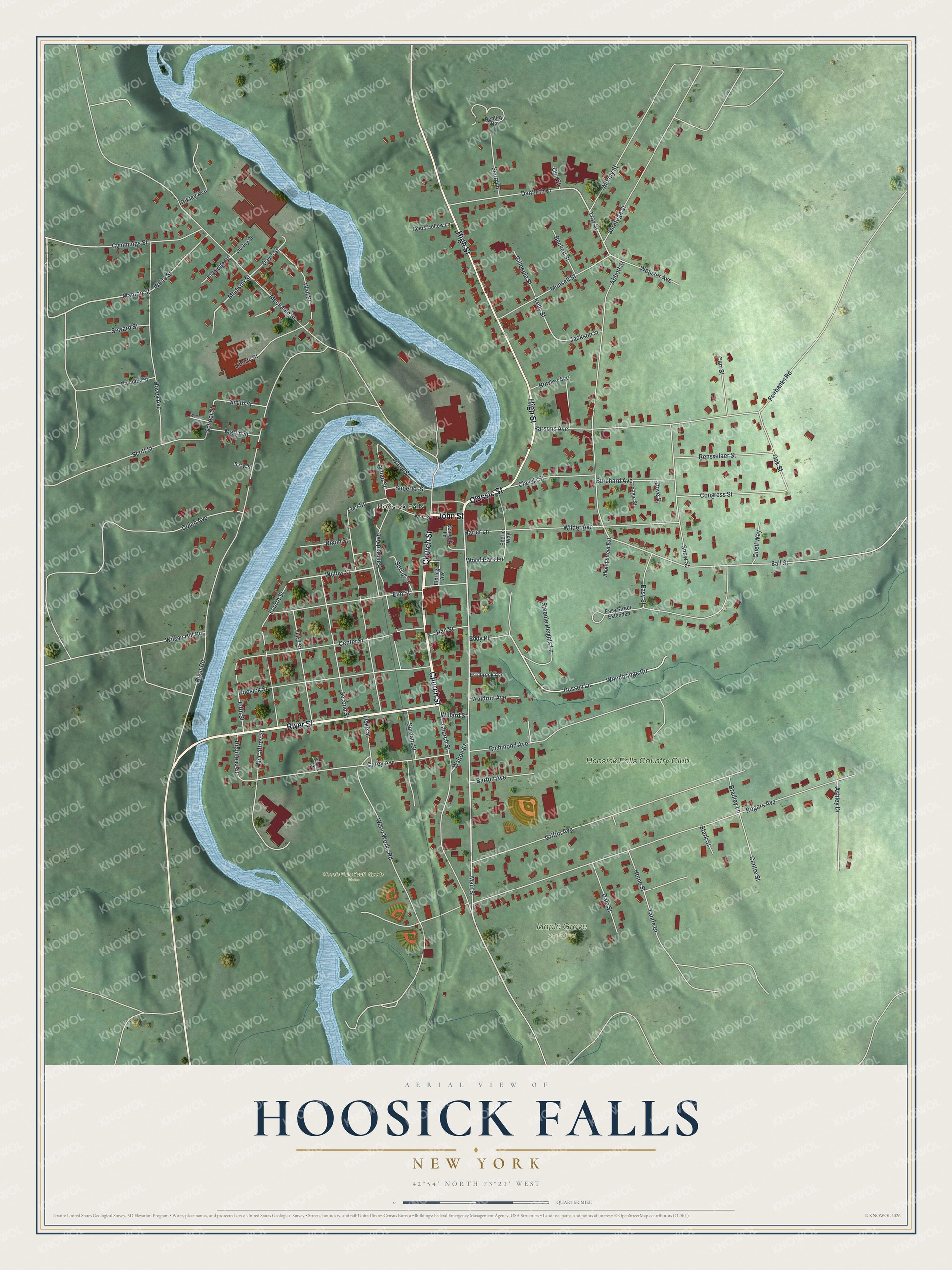
This beautifully detailed map of Hoosick Falls, New York was created in 2026 using aerial imagery combined with modern topographical, census, street and landmark data. It’s a one-of-a-kind view of Hoosick Falls that combines accurate data with a vintage aesthetic. The map shows every building in its true location, many of the roads carry their names, and the shaded topographic relief shows the shape of the land.
Explore an aerial view of Hoosick Falls, New York
On the map you’ll find Maple Grove Cemetery, along with Church Street, John Street, Classic Street, River Street, High Street, and more. If you look closely you can even find your house accurately drawn in its correct location. Zoom in on the preview to look for yours.
Did You Know?
Walter A. Wood was a blacksmith who started making a reaper in Hoosick Falls in 1852. By the 1890s no company on earth built more farm machinery than his mowing and reaping firm. Its plant spread over 85 acres along the west riverbank. The company closed in 1924.
Take a closer look at the Hoosick Falls map
Names on this map
These names are printed on this map.
Places: Hoosic Falls Youth Sports Fields, Maple Grove Cemetery, Hoosick Falls and Hoosick Falls Country Club.
Streets and roads: Church Street, John Street, Classic Street, River Street, High Street, Main Street, Troy Street, Bussey Lane, Manton Street, Woodbridge Road, Willow Street, Lyman Street.
More street names, A to Z
Abbott Street, Abbott Street Extension, Albany Street, Ashley Drive, Ball Street, Barton Avenue, Beckett Street, Bentley Way, Bradley Lane, Burchard Avenue, Carey Avenue, Carr Street, Center Street, Centre Street, Congress Street, Cummings Street, Dale Street, Danforth Street, Davis Street, Dolan Avenue, Dove Street, Eagle Street, Easy Street, Easy Street Extended, Eberle Way, Eddy Place, Eldridge Avenue, Eldridge Street, Elm Street, Estabrook Avenue, Fairbanks Road, Fifth Street, First Street, Fiske Street, Fourth Street, Geers Hollow Lane, Gillespie Street, Griffin Avenue, Hall Street, Hampton Street, Harter Lane, Home Street, Hoosick Street, Hovey Avenue, Hurley Street, Jackson Street, Kelly Street, Kennedy Lane, Kokley Avenue, Liberty Street, Madison Street, Martin Street, McCaffrey Street, Mechanic Street, Munsell Street, Nixon Street, Oak Street, Olin Street, Oneil Way, Parsons Avenue, Railroad Avenue, Redmond Street, Rensselaer Street, Richmond Avenue, River Road, Rogers Avenue, Rowley Avenue, Saratoga Street, School Street, Scott Lane, Scott Street, Second Street, Seward Street, Shaw Street, Smith Street, Snow Street, Spring Street, Stark Street, Steeple Heights Lane, Superior Street, Surdam Street, Tahoe Drive, Third Street, Waldron Avenue, Wallace Street, Wall Street, Walton Street, Water Street, Water Works Road, Webster Avenue, White Street, Wilder Avenue, Willard Street, Wilson Hill Road, Wood Park Lane, Woods Court.
See it on a wall
The Hoosick Falls map as a framed print. Swipe for more.


This beautifully detailed map of Hoosick Falls makes an attractive addition to your office, library, or den, and it can even be used to teach children the geography and history of the area. It also makes a great gift for someone who left Hoosick Falls and still calls it home. When you’re done exploring, click here to get your copy of the Hoosick Falls map.