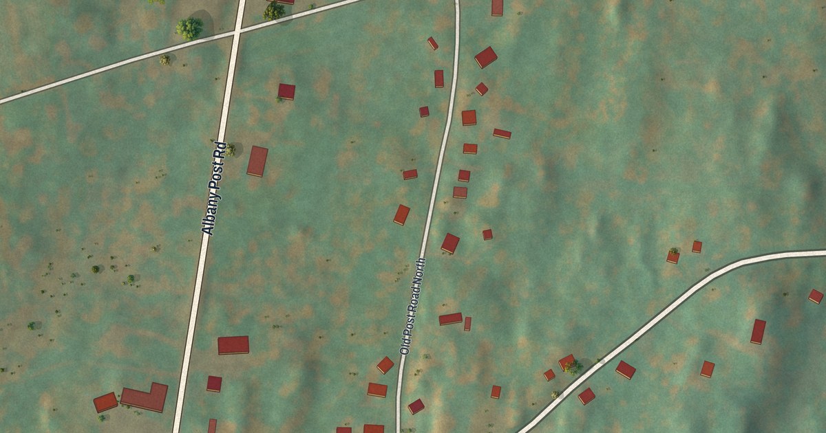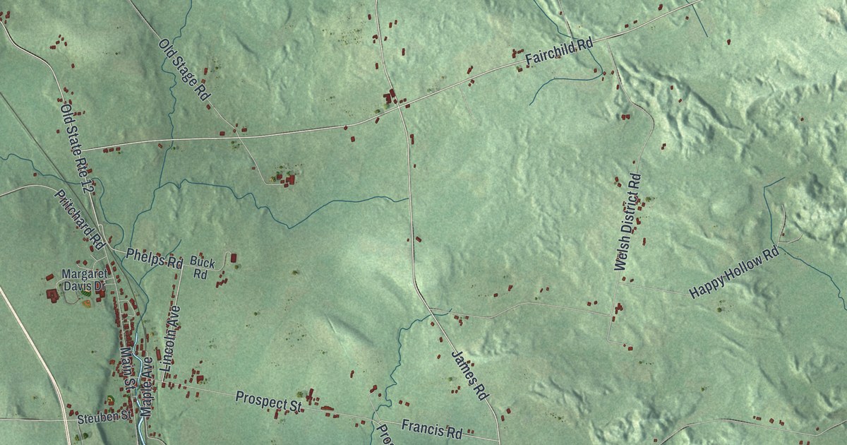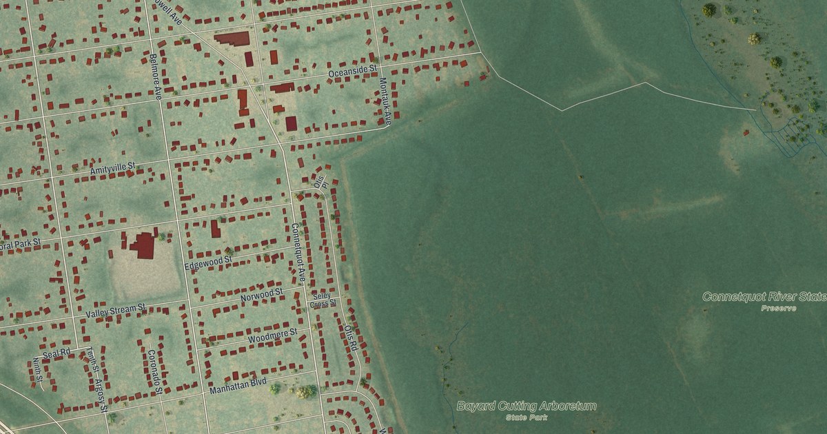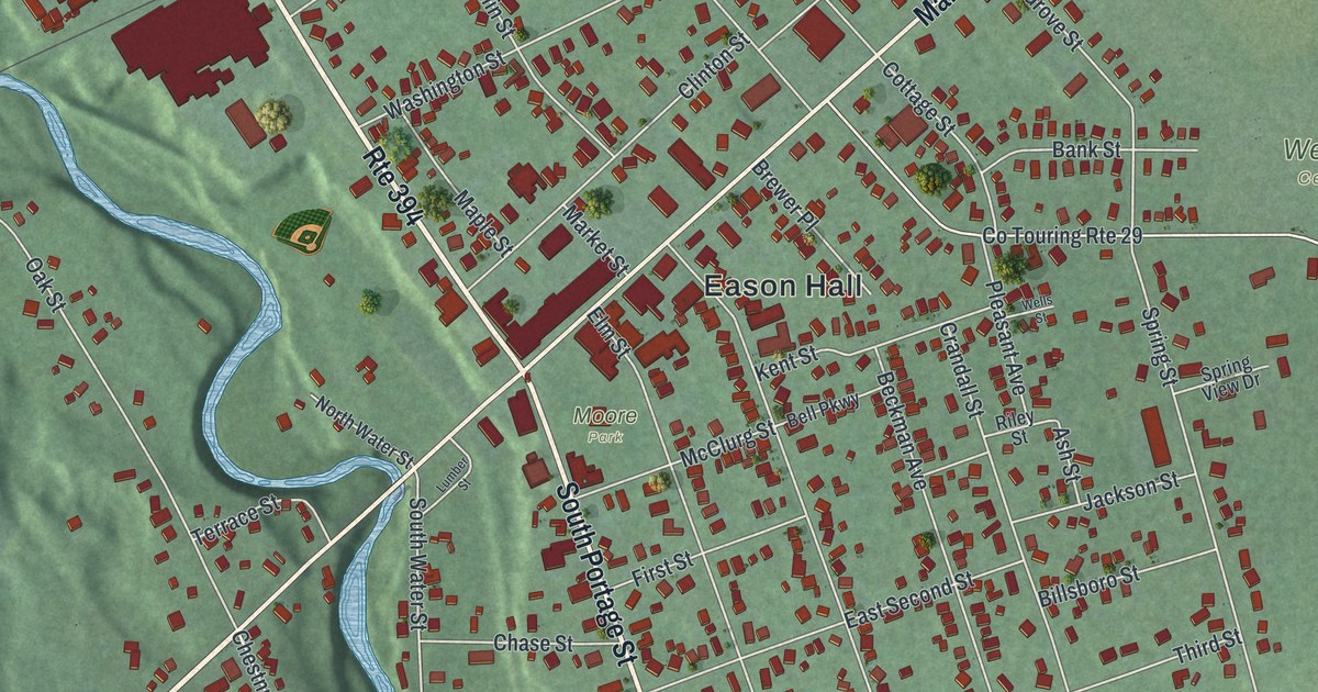
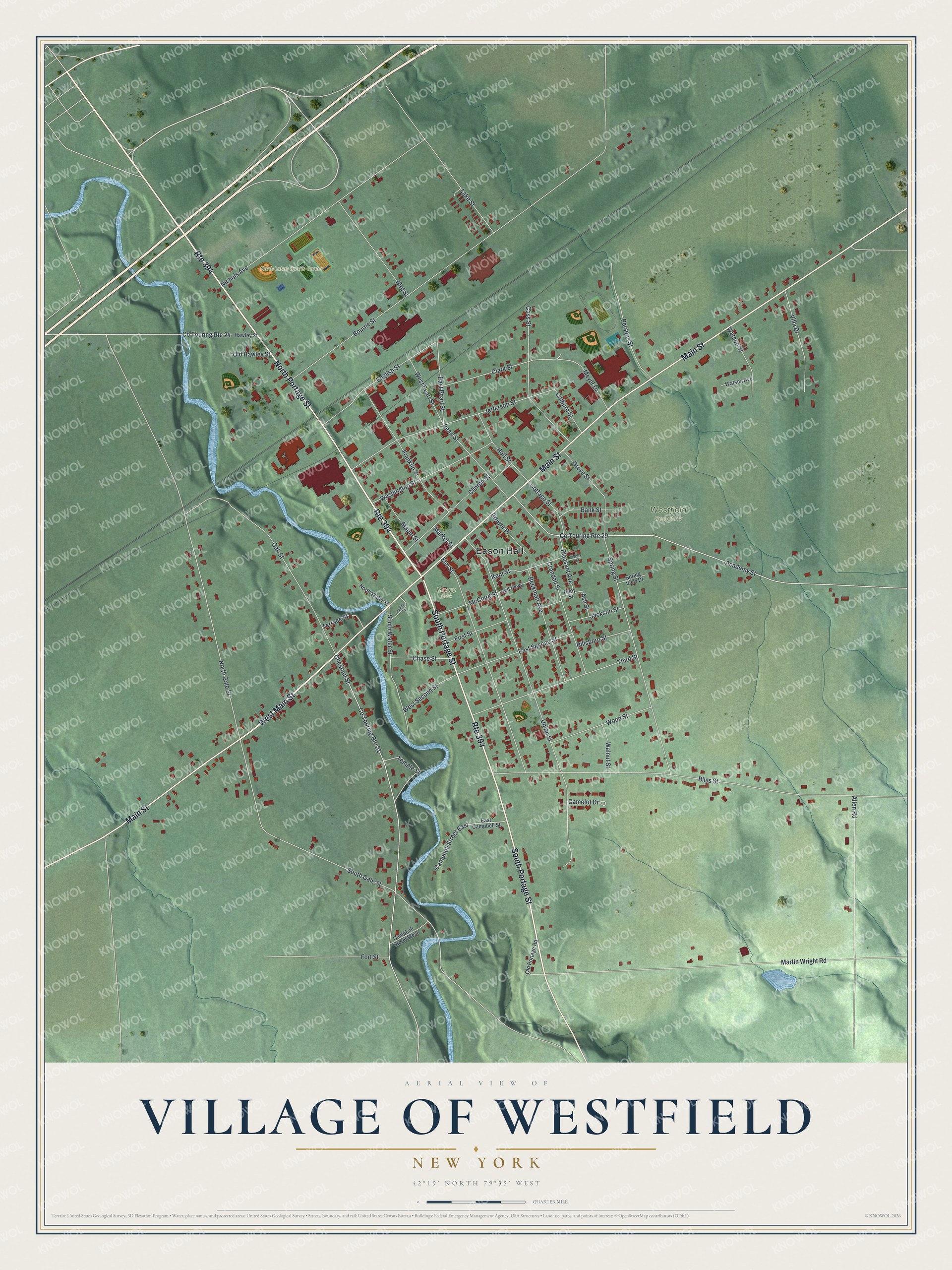
This beautifully detailed map of the Village of Westfield, New York was created in 2026 using aerial imagery combined with modern topographical, census, street and landmark data. It’s a one-of-a-kind view of the Village of Westfield that combines accurate data with a vintage aesthetic. The map shows every building in its true location, many of the roads carry their names, and the shaded topographic relief shows the shape of the land.
Explore an aerial view of the Village of Westfield, New York
On the map you’ll find Eason Hall and Moore Park, along with Main Street, Portage Street, Pearl Street, Chestnut Street, and more. If you look closely you can even find your house accurately drawn in its correct location. Zoom in on the preview to look for yours.
Did You Know?
In 1860 a Westfield girl named Grace Bedell wrote to Abraham Lincoln. She urged him to grow a full beard to help him win. He soon let it grow. On his 1861 train trip to Washington, Lincoln stopped in Westfield and asked to meet Grace by name.
Take a closer look at the Village of Westfield map
Names on this map
These names are printed on this map.
Places: Eason Hall, North Lakes Sports Center, Westfield Cemetery and Moore Park.
Streets and roads: West Main Street, North Portage Street, South Portage Street, Main Street, Route 394, East Pearl Street, Chestnut Street, Bourne Street, Academy Street, Co Touring Route 29, Bliss Street, Union Street.
More street names, A to Z
Allen Road, Ash Street, Bank Street, Beckman Avenue, Bell Parkway, Billsboro Street, Bird Street, Brewer Place, Camelot Drive, Campbell Street East, Campbell Street West, Cass Street, Chase Street, Clark Street, Clinton Street, Colburn Street, Co Touring Route 21, Co Touring Route 24, Cottage Street, Crandall Street, East Campbell Street, East Second Street, Elm Street, English Street, First Street, Fort Street, Franklin Street, Grove Street, Hawley Street, Holt Street, Jackson Street, Jefferson Street, Kent Street, Lake Street, Lumber Street, Maple Street, Market Street, Martin Wright Road, McClurg Street, Meyer Drive, Nichols Avenue, North Gale Street, North Water Street, Oak Street, Old Hawley Street, Old Portage Road, Pearl Street, Persons Street, Pleasant Avenue, Riley Street, South Gale Street, South Water Street, Spring Street, Spring View Drive, Temple Street, Terrace Street, Third Street, Villa Drive, Walnut Street, Washington Street, Watson Avenue, Watson Street, Wells Street, West Pearl Street, West Second Street, Wood Street.
See it on a wall
The Westfield map as a framed print. Swipe for more.


This beautifully detailed map of the Village of Westfield makes an attractive addition to your office, library, or den, and it can even be used to teach children the geography and history of the area. It also makes a great gift for anyone who grew up in the Village of Westfield or moved away. When you’re done exploring, click here to get your copy of the Village of Westfield map.