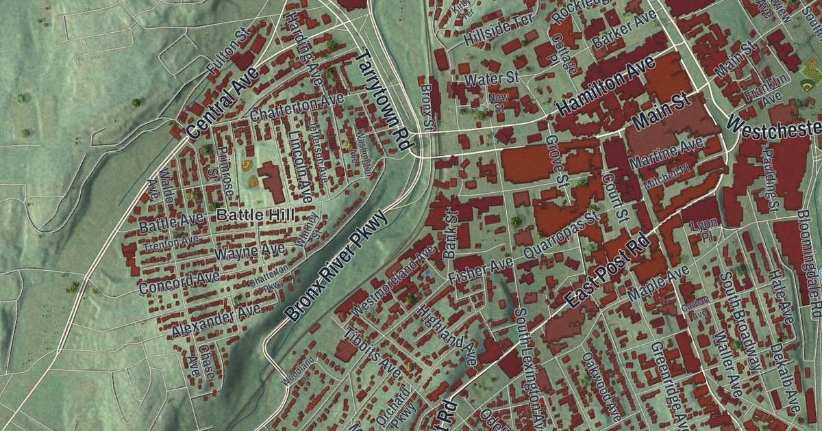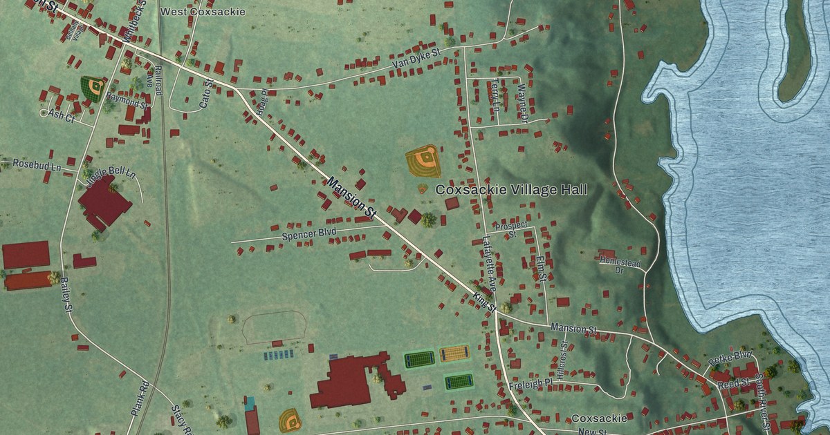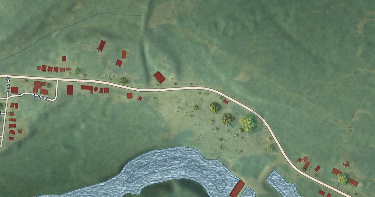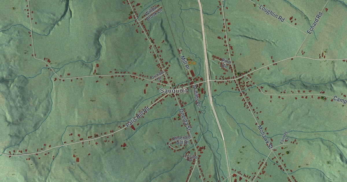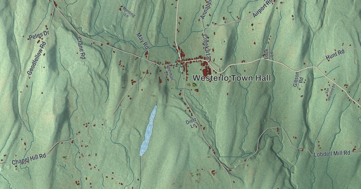
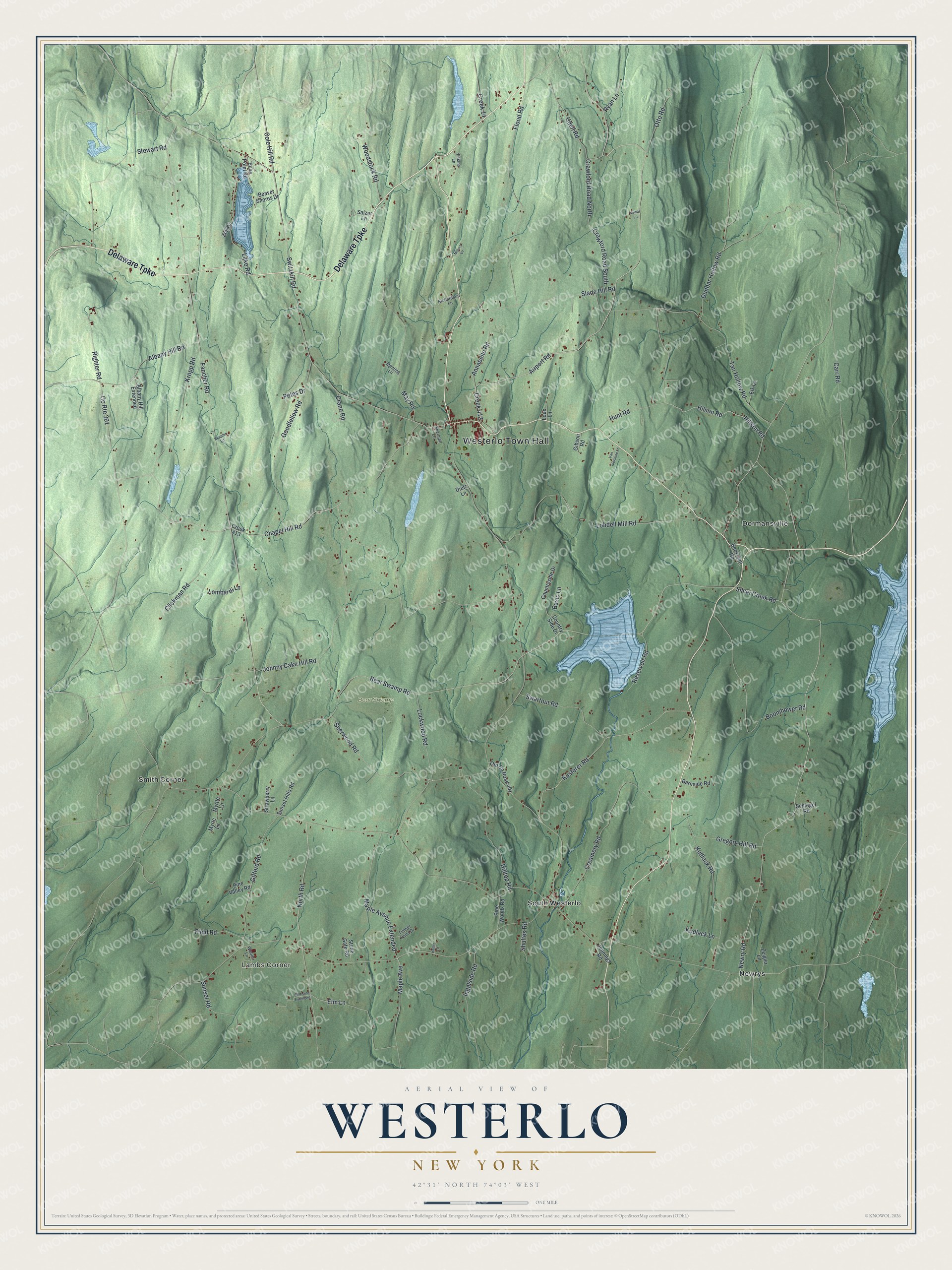
This beautifully detailed map of Westerlo, New York was created in 2026 using aerial imagery combined with modern topographical, census, street and landmark data. It’s a one-of-a-kind view of Westerlo that combines accurate data with a vintage aesthetic. The map shows every building in its true location, many of the roads carry their names, and the shaded topographic relief shows the shape of the land.
Explore an aerial view of Westerlo, New York
On the map you’ll find Westerlo Town Hall, Lambs Corner, Dormansville, Newrys, Smith Corner, and South Westerlo, along with Delaware Turnpike, Airport Road, Johnny Cake Hill Road, Maple Avenue, and more. If you look closely you can even find your house accurately drawn in its correct location. Zoom in on the preview to look for yours.
Did You Know?
Westerlo was carved from parts of Coeymans and Rensselaerville in 1815. The town was named for the Reverend Eilardus Westerlo. For thirty years, from 1760 to 1790, he served as minister of the Reformed Dutch Church in Albany, known today as The First Church.
Take a closer look at the Westerlo map
Names on this map
These names are printed on this map.
Places: Westerlo Town Hall, Lambs Corner, Bear Swamp, Dormansville, Newrys, Smith Corner and South Westerlo.
Streets and roads: Delaware Turnpike, Airport Road, Creek 412, Johnny Cake Hill Road, Maple Avenue, County Route 361, Sherwood Road, Elm Lane, Newry Road, Bear Swamp Road, Switzkill Road, Chapel Hill Road.
More street names, A to Z
Albany Hill Extended, Albany Hill Road, Annabelle Road, Barnside Road, Basic Lane, Beaver Shores Drive, Beckman Road, Boomhower Road, Carr Road, Clickman Road, Cole Hill Road, Countryside Drive, Country Side Drive, Crane Road, Crawford Road North, Crawford Road South, Creamery Road, Creek 14, Creek 413, Dietz Lane, Dunbar Hollow Road, Echo Point Road, Elk Lane, Elm Lane Extended, Fancher Road, Field Road, Filkins Lane, Flood Road, Gibson Road, Gifford Road, Goodfellow Road, Gregory Hill Road, Haller Lane, Hillson Road, Hilltop Road, Hilson Road, Hunt Road, Ingalside Road, Jennings Road, Keppler Lane, Kowal Lane, Kropp Road, Kudlack Lane, Kudlack Road, Kusterer Road, Lake Road, Lobdell Mill Road, Lockwood Road, Lombardi Lane, Loux Lane, Maple Avenue Extended, May Road, Menting Lane, Millers Lane, Myrle Lane, Myrtle Lane, North Road, Old County Road 401, Otto Road, Petes Drive, Pine Valley Road, Pine Woods Road, Reservoir Road, Richardson Lane, Righter Road, Ryan Lane, Salzer Lane, Schlegel Road, Sherman Lane, Shultes Road, Silver Creek Road, Slade Hill Road, Stewart Road, Stone Gate Road, Strawberry Lane, Sunset Hills Road, Sunset Road, Swartout Road, Tan Hollow Road, Timber Point Drive, Udell Road, Van Iderstine Lane, Woods Lane, Woodstock Road, Zeh Drive, Zeigler Lane.
See it on a wall
The Westerlo map as a framed print. Swipe for more.


This beautifully detailed map of Westerlo makes an attractive addition to your office, library, or den, and it can even be used to teach children the geography and history of the area. It also makes a great gift for anyone who grew up in Westerlo or moved away. When you’re done exploring, click here to get your copy of the Westerlo map.