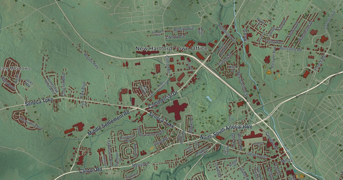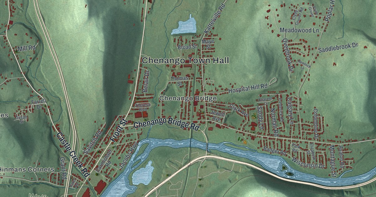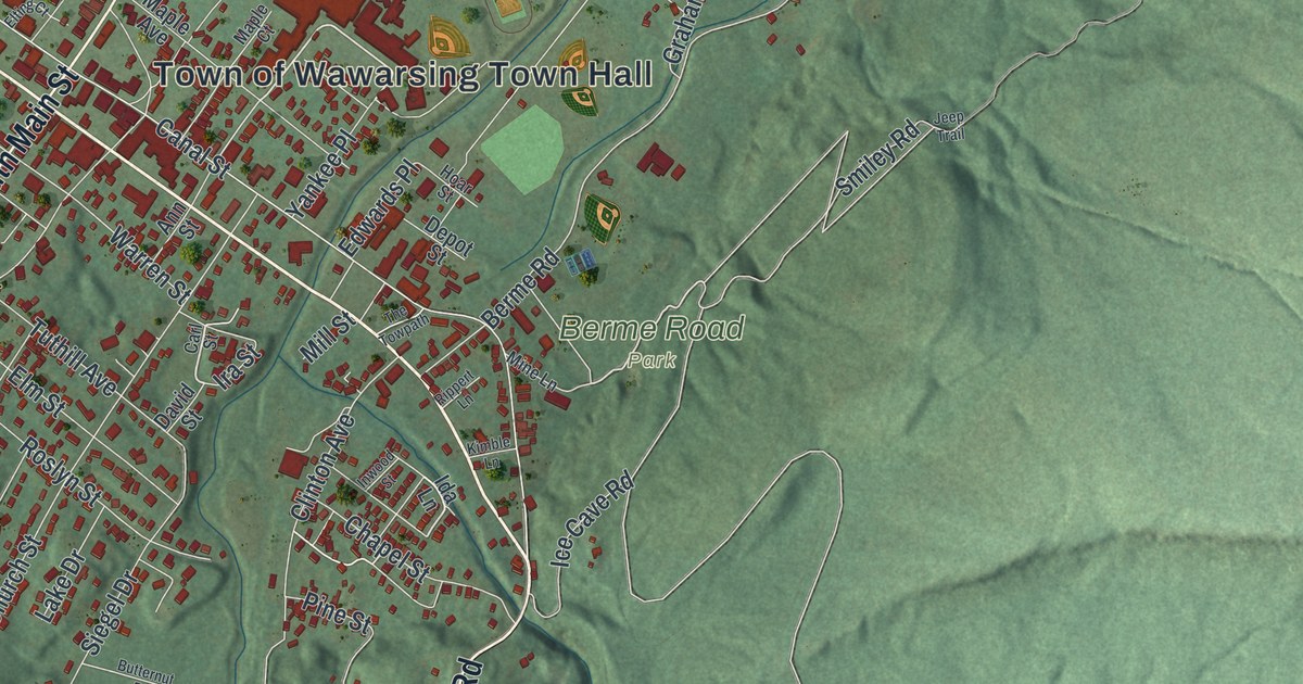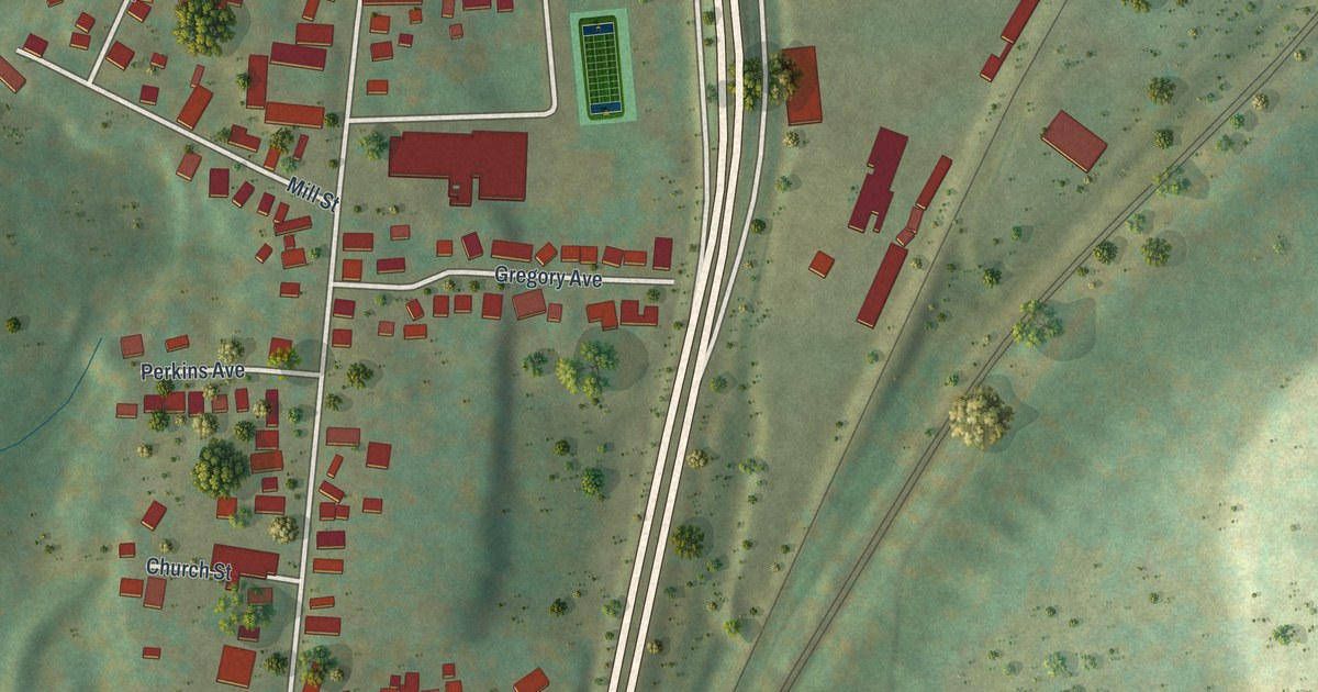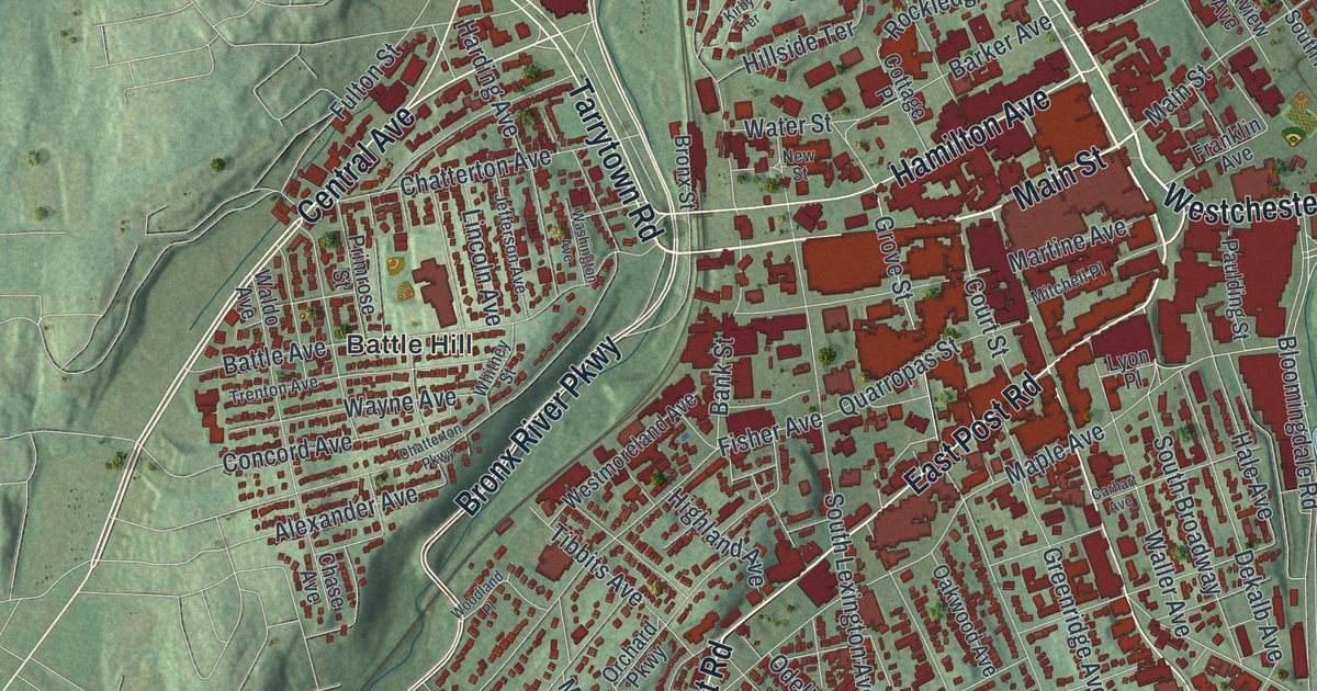
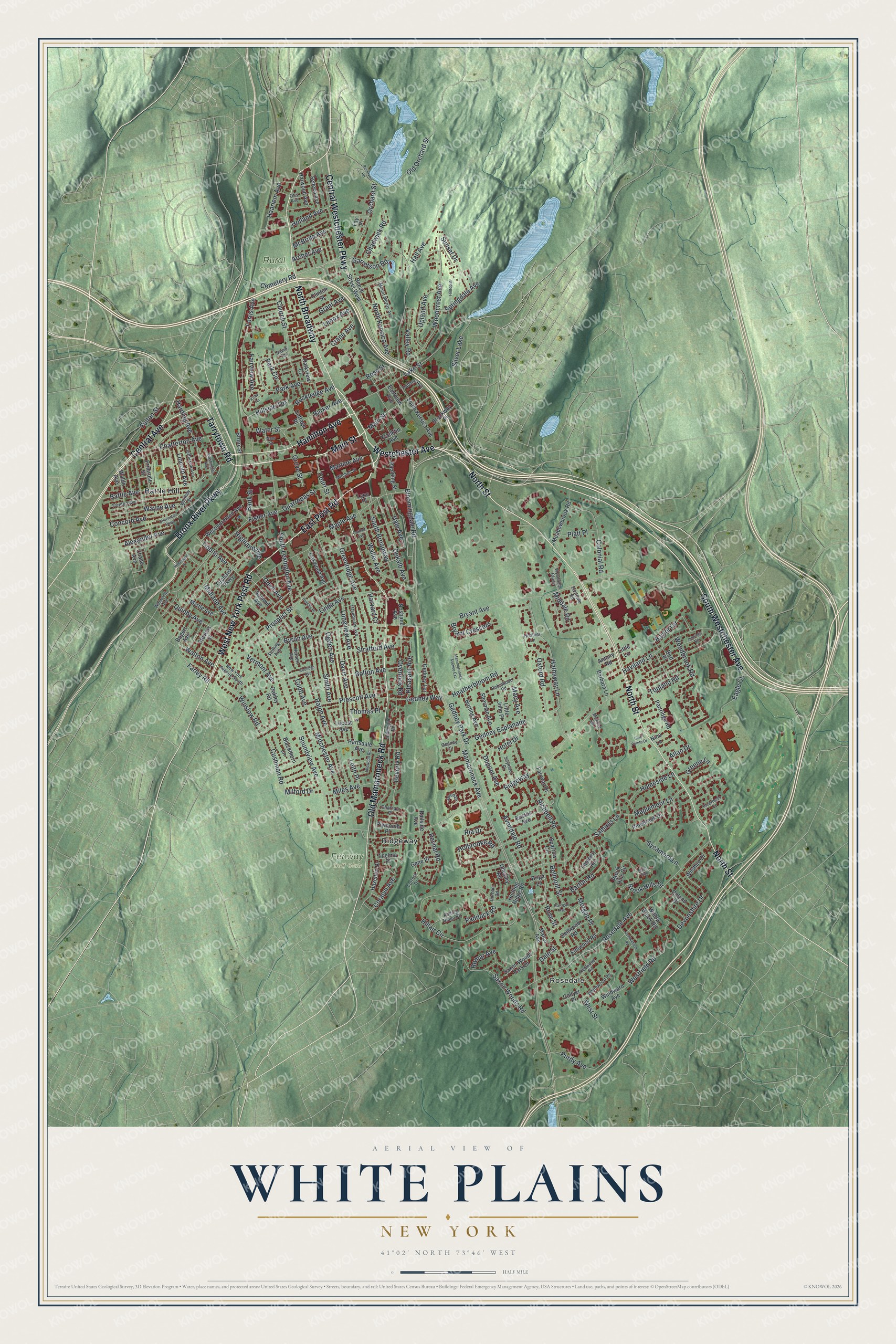
This beautifully detailed map of White Plains, New York was created in 2026 using aerial imagery combined with modern topographical, census, street and landmark data. It’s a one-of-a-kind view of White Plains that combines accurate data with a vintage aesthetic. The map shows every building in its true location, many of the roads carry their names, and the shaded topographic relief shows the shape of the land.
Explore an aerial view of White Plains, New York
On the map you’ll find North Broadway, Rosedale, Battle Hill, Ridgeway, and Rural Cemetery, along with Westchester Avenue, Main Street, Post Road, North Street, and more. If you look closely you can even find your house accurately drawn in its correct location. Zoom in on the preview to look for yours.
Did You Know?
On July 9, 1776, New York’s Provincial Congress received the Declaration of Independence while meeting in the White Plains courthouse. The delegates quickly voted to approve it. That vote declared the colony independent and created the State of New York. Two days later, the Declaration was read aloud from the courthouse steps.
Take a closer look at the White Plains map
Names on this map
These names are printed on this map.
Places: Rosedale, Fenway Golf Club, Rural Cemetery, Battle Hill, Ridgeway and Silver Lake.
Streets and roads: South Westchester Avenue, North Broadway, Main Street, Westchester Avenue, East Post Road, North Street, West New York Post Road, Central Avenue, Bronx River Parkway, Old Mamaroneck Road, Central Westchester Parkway, Tarrytown Road.
More street names, A to Z
Albemarle Road, Alexander Avenue, Allan Drive, Antony Road, Archer Avenue, Avondale Road, Bank Street, Barbara Lane, Barker Avenue, Barton Road, Battle Avenue, Baylor Circle, Beech Street West, Belmont Street, Beverly Road, Bird Place, Blackthorn Lane, Bloomingdale Road, Bogert Avenue, Bolton Avenue, Briga Lane, Brockway Place, Bronx Street, Brook Hills Circle, Brook Hills Drive, Bryant Avenue, Bryant Crescent, Burling Avenue, Bursley Place, Byron Avenue, Carhart Avenue, Carrigan Avenue, Cemetery Road, Chadwick Road, Chase Avenue, Chatham Place, Chatterton Avenue, Chatterton Parkway, Chesley Road, Church Street, Clinton Street, Club Pointe Drive, Cobb Avenue, Cobblefield Road, Collyer Place, Colonial Road, Concord Avenue, Coolidge Avenue, Coralyn Avenue, Cottage Place, Court Street, Crane Avenue, Cushman Road, Dale Street, David Terrace, Davis Avenue, Dekalb Avenue, Dellwood Road, Devonshire Drive, Dupont Avenue, Durham Road, Eagle Court, Eastdale Road, Easton Avenue, Eastview Avenue, Elmwood Road, Fairview Avenue, Fairway Drive, Farley Road, Fay Place, Ferris Avenue, Fisher Avenue, Forrest Drive, Franklin Avenue, Fulton Street, Garretson Road, Gedney Circle, Gedney Esplanade, Gedney Park Drive, Gedney Terrace, Gedney Way, Gene Place, Grandview Avenue, Grant Avenue, Greene Lane, Greenridge Avenue, Grove Street, Haarlem Avenue, Hadden Avenue, Hale Avenue, Hall Avenue, Hamilton Avenue, Harding Avenue, Hartsdale Avenue, Harvard Court, Harwood Avenue, Hathaway Lane, Haviland Lane, Hazelton Drive, Heatherbloom Road, Heather Lane, Herbert Avenue, Highland Avenue, Hillair Circle, Hillside Terrace, Hilltop Drive, Holbrooke Road, Holland Avenue, Homeside Lane, Hotel Drive, Hunting Ridge Road, Idlewood Road, Inverness Court, Jared Drive, Jefferson Avenue, Jennings Road, Kirby Terrace, Lake Street, Lambert Road, Leith Place, Lenox Avenue, Lincoln Avenue, Linda Avenue, Little John Place, Little Lane, Locust Avenue, Longview Avenue, Lyon Place, Macy Avenue, Mamaroneck Avenue, Mammoroneck Avenue Extension, Manor Avenue, Maple Avenue, Maplemoor Lane, Martine Avenue, McBride Avenue, Meadowbrook Road, Midchester Avenue, Middale Road, Midland Avenue, Miles Avenue, Milford Drive, Mitchell Place, Monroe Drive, Morgan Place, Moss Run, Mount Morris Avenue, Myrtle Avenue, New Street, New York Avenue South, Nina Lane, North Kensico Avenue, Nosband Avenue, Oakley Road, Oakwood Avenue, Odell Avenue, Ogden Avenue, Old Orchard Street, Orchard Parkway, Orchard Street, Otis Avenue, Overlook Road, Oxford Road, Paddock Road, Park Avenue, Park Circle, Parkview Court, Partridge Road, Paulding Street, Pinebrook Drive, Platt Place, Pleasant Avenue, Plymouth Place, Prescott Avenue, Primrose Street, Prospect Street, Purdy Avenue, Quarropas Street, Quinby Avenue, Railside Avenue, Ralph Avenue, Redwood Road, Reservoir Road, Reynal Road, Ria Drive, Richbell Road, Robinhood Road, Rockledge Avenue, Roland Drive, Rolling Ridge Road, Romar Avenue, Rosedale Avenue, Rose Street, Ross Street, Sammis Lane, Saxon Woods Park Drive, Saxon Woods Road, Seneca Avenue, Seymour Place, Sherman Avenue, Smith Avenue, Soundview Avenue, South Broadway, South Kersica Avenue, South Lexington Avenue, Sparrow Circle, Springdale Avenue, Sterling Avenue, Stevens Street, Stratford Avenue, Summit Avenue, Sunset Drive, Sycamore Lane, Thelma Place, Thomas Place, Tibbits Avenue, Topland Road, Trenton Avenue, Upland Avenue, Valley Road, Vermont Avenue, Waldo Avenue, Waller Avenue, Walton Avenue, Walworth Avenue, Washington Avenue, Water Street, Wayne Avenue, Westfield Road, Westmoreland Avenue, West Street, Whitewood Road, Whitney Street, Willow Brook Road, Wilshire Drive, Windward Avenue, Winslow Road, Woodbrook Road, Woodcrest Avenue, Woodland Place, Wyndham Close.
See it on a wall
The White Plains map as a framed print. Swipe for more.


This beautifully detailed map of White Plains makes an attractive addition to your office, library, or den, and it can even be used to teach children the geography and history of the area. It also makes a great gift for anyone who grew up in White Plains or moved away. When you’re done exploring, click here to get your copy of the White Plains map.