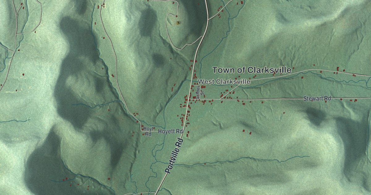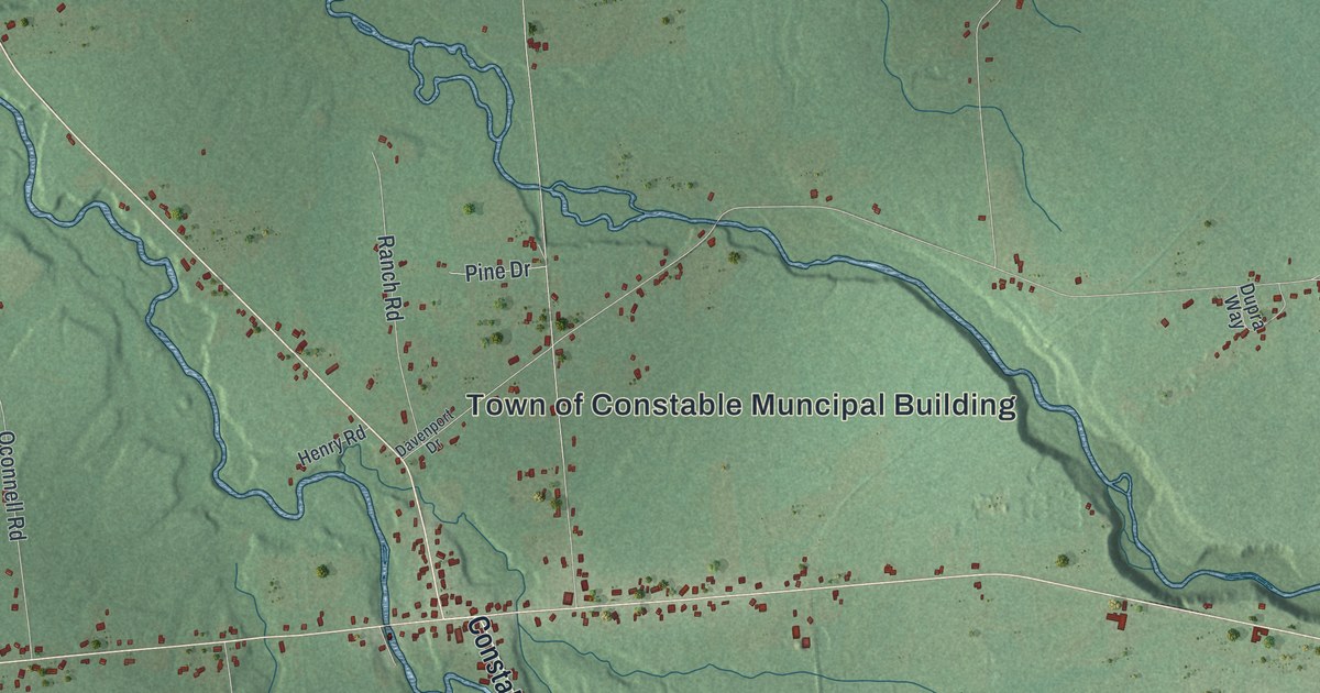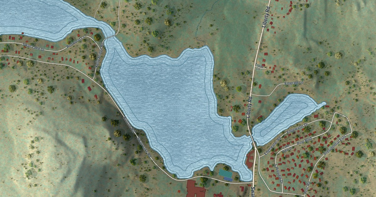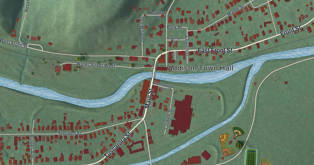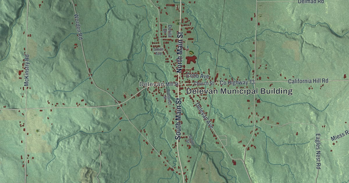
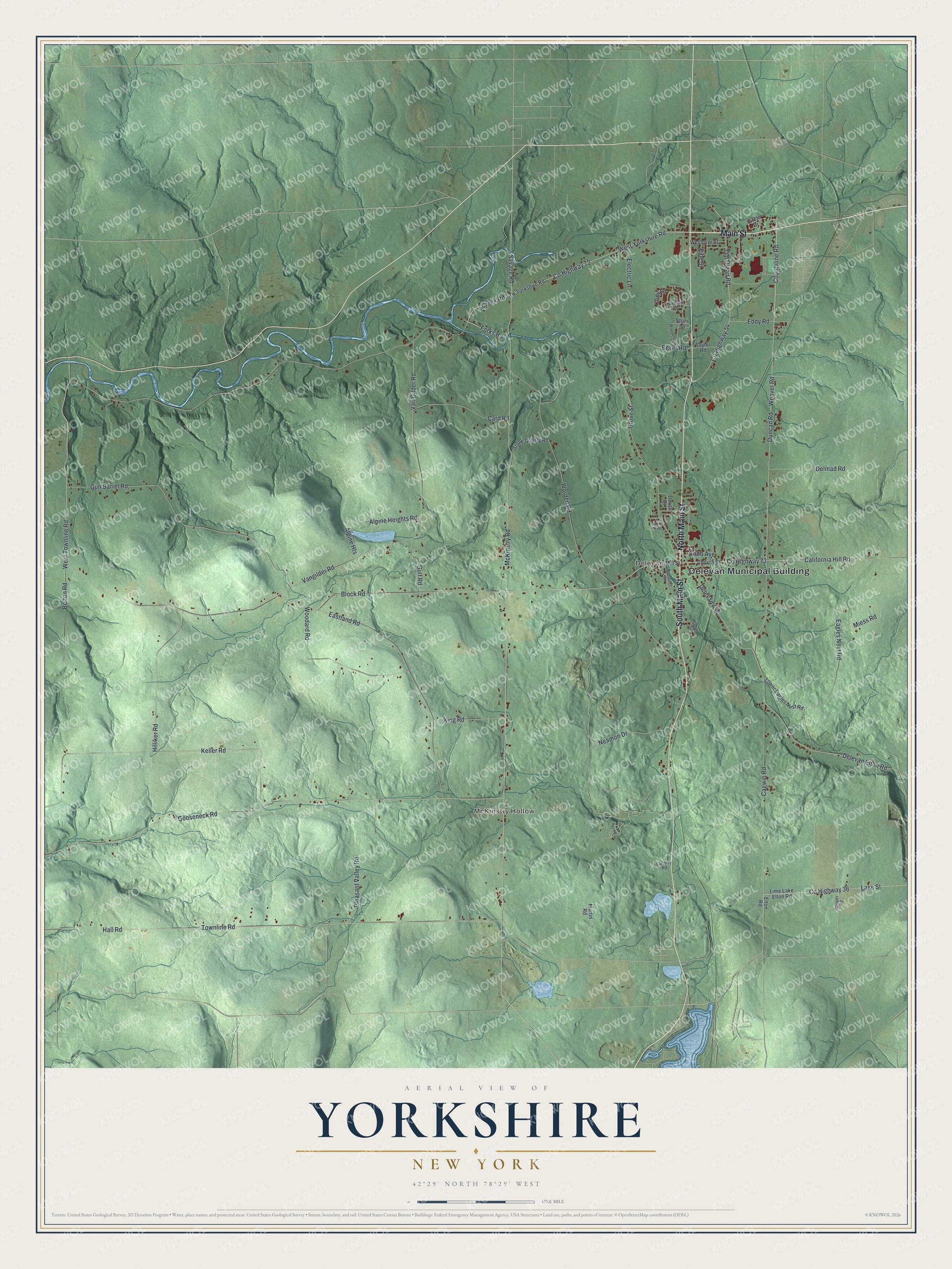
This beautifully detailed map of Yorkshire, New York was created in 2026 using aerial imagery combined with modern topographical, census, street and landmark data. It’s a one-of-a-kind view of Yorkshire that combines accurate data with a vintage aesthetic. The map shows every building in its true location, many of the roads carry their names, and the shaded topographic relief shows the shape of the land.
Explore an aerial view of Yorkshire, New York
On the map you’ll find Delevan Municipal Building, McKinstry Hollow, and Delevan, along with Main Street, McKinstry Road, Countyline Road, Savage Road, and more. If you look closely you can even find your house accurately drawn in its correct location. Zoom in on the preview to look for yours.
Did You Know?
Settlers first came to Yorkshire around 1810. The town was split off from the town of Ischua, now Franklinville, in 1820. Hiram M. Chittenden was born here on October 25, 1858. He became a noted U.S. Army engineer and a historian of the West.
Take a closer look at the Yorkshire map
Names on this map
These names are printed on this map.
Places: Delevan Municipal Building, McKinstry Hollow and Delevan.
Streets and roads: Main Street, North Main Street, South Main Street, McKinstry Road, County Highway 72, Countyline Road, Savage Road, Weaver Road, County Highway 36, Lake Street, County Highway 73, West Yorkshire Road.
More street names, A to Z
Alpine Heights, Alpine Heights Road, Beyer Road, Block Road, Bolton Road, Cagwin Road, California Hill Road, Card Road, Church Street, Circle Drive, Cobb Avenue, County Highway 54, Creek Road, Delevan Avenue, Delevan Elton Road, Delmad Road, Dorita Drive, Duncan Road, Eagles Nest Road, Eastland Road, Eddy Road, Electric Lane, Elton Road, Forks Road, Gooseneck Road, Grove Street, Gulf Road, Gun Barrel Road, Hall Road, Hilliker Road, Hooper Road, Keller Road, King Road, Kody Lane, Lafferty Road, Lime Lake Elton Road, Lower Eagles Nest Road, Martin Road, Meadow Lane, Miess Road, Mill Street, Neamon Drive, Old Olean Road, Pine Street, Pleasant Valley Road, Prospect Street, Shari Lane, Smith Avenue, South Street, Stone Quarry Road, Taylor Road, Townline Road, Van Gilder Road, Vangilder Road, Westover Street, West Townline Road, Woodard Road, Woods Lane, Worden Road.
See it on a wall
The Yorkshire map as a framed print. Swipe for more.


This beautifully detailed map of Yorkshire makes an attractive addition to your office, library, or den, and it can even be used to teach children the geography and history of the area. It also makes a great gift for anyone who grew up in Yorkshire or moved away. When you’re done exploring, click here to get your copy of the Yorkshire map.