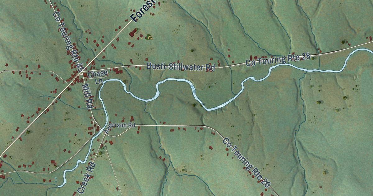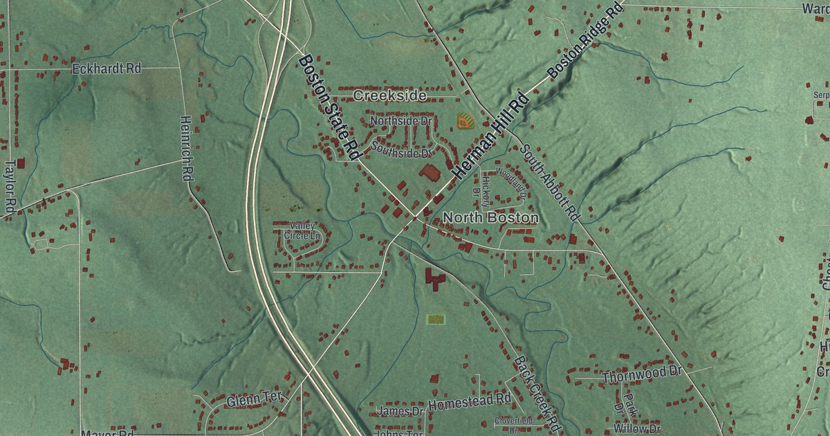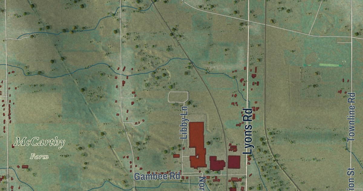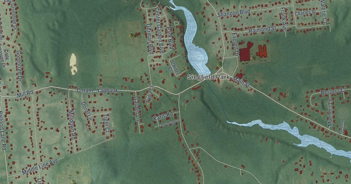
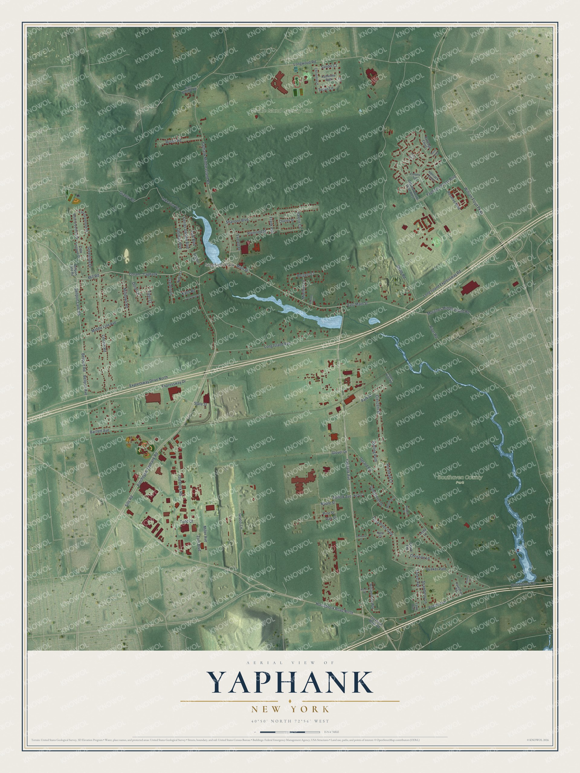
This beautifully detailed map of Yaphank, New York was created in 2026 using aerial imagery combined with modern topographical, census, street and landmark data. It’s a one-of-a-kind view of Yaphank that combines accurate data with a vintage aesthetic. The map shows every building in its true location, many of the roads carry their names, and the shaded topographic relief shows the shape of the land.
Explore an aerial view of Yaphank, New York
On the map you’ll find Coram – Yaphank, Siegfield Park, and Southaven County Park, along with Yaphank Avenue, Mill Road, Main Street, Moriches Middle Island Road, and more. If you look closely you can even find your house accurately drawn in its correct location. Zoom in on the preview to look for yours.
Did You Know?
Irving Berlin named his wartime Broadway musical hit after Yaphank. During the World War, the village was the railroad stop for Camp Upton, a nearby military base. That’s from the 1940 WPA guide to New York.
Take a closer look at the Yaphank map
Names on this map
These names are printed on this map.
Places: Siegfield Park, Southaven County Park and Middle Island Country Club.
Streets and roads: Yaphank Avenue, Mill Road, Main Street, East Main Street, Coram - Yaphank, Moriches Middle Island Road, Bellport Lane Road, Patchogue Yaphank Road, Bellport Road, Horseblock Road North, Shannon Boulevard, Victory Avenue.
More street names, A to Z
Bartlett Avenue, Bellport Avenue, Bergers Court, Cemetery Road, Center Garden Boulevard, Charles Street, Christina Lane, Christine Lane, Colonial Woods Drive West, Colony Tye, Crescent Street, Doral Lane, East Bartlett Road, East Greentree Drive, Equestrian Way, Everett Drive, Expressway Drive, Expressway Drive North, Forest Avenue, Frank Avenue, Garden Lane, Gerard Road, German Boulevard, Glover Drive, Grand Avenue, Granny Road, Greentree Drive, Grucci Lane, Hancock Cmns, Harness Court, Horseblock Road, Horstead Court, Kara Court, Karls Road, Katherine Path, Lakeview Road, Lame Avenue, Landsberger Street, Leslie Lane, Lincoln Road, Little Treasure Drive, Long Island Avenue, Long Island Expressway Road, Longwood Road, Maple Street, Mason Street, Middle Line Avenue, Milldown Road, Miller Avenue, Monterey Lane, Muellers Lane, Nick Court, Norberto Court, Nydia Court, Oak Street, Old Dock Road, Old Horse Block Road, Paine Cmns, Park Boulevard, Park Street, Pine Street, Quaker Path, Raimond Street, Reserve Boulevard, River Road, Rustic Road, Rutledge Cmns, Sander Court, Schiller Court, Sills Road, Smith Road, Sommerset Drive, Southview Court, State Street, Sterling Path, Stone Cmns, Strawberry Lane, Suffolk Avenue, Susan Lane, Tap Court, Terra Pines Gate, Tiger Court, Todd Court, Upper River Road, Valerie Court, West Greentree Drive, William Floyd Parkway, Williamsburg Way, Yaphank Middle Island Road, Yaphank Woods Boulevard, Zorn Boulevard.
See it on a wall
The Yaphank map as a framed print. Swipe for more.


This beautifully detailed map of Yaphank makes an attractive addition to your office, library, or den, and it can even be used to teach children the geography and history of the area. It also makes a great gift for anyone who grew up in Yaphank or moved away. When you’re done exploring, click here to get your copy of the Yaphank map.