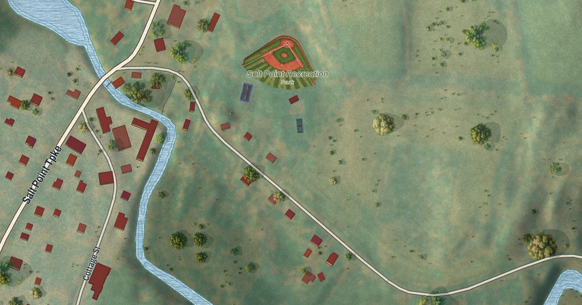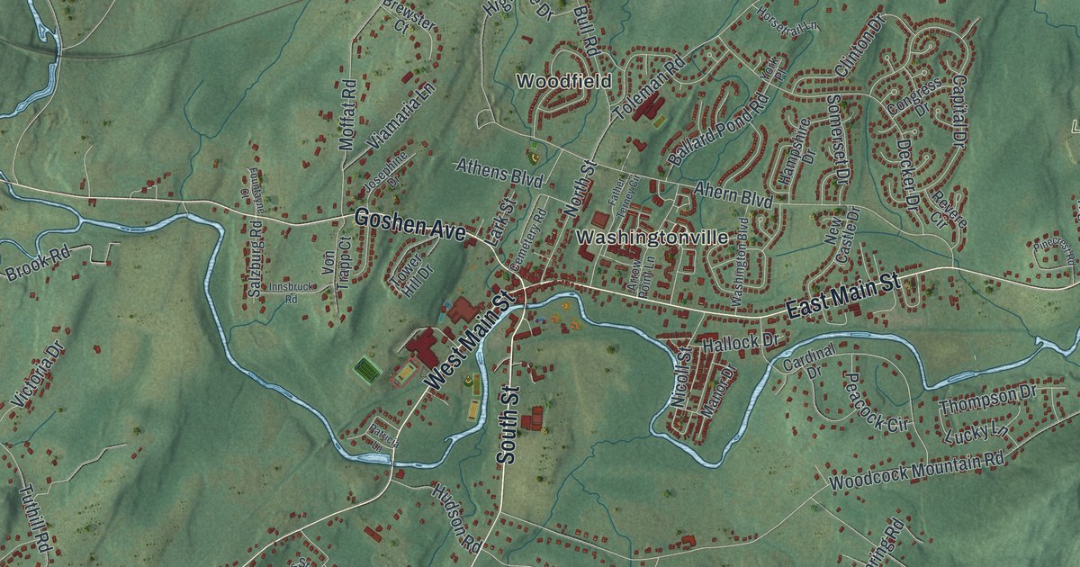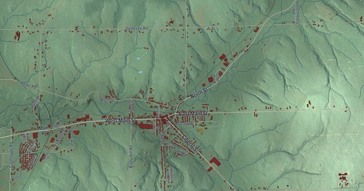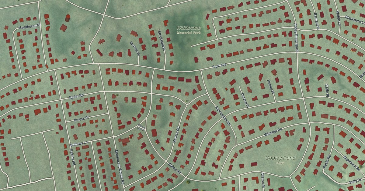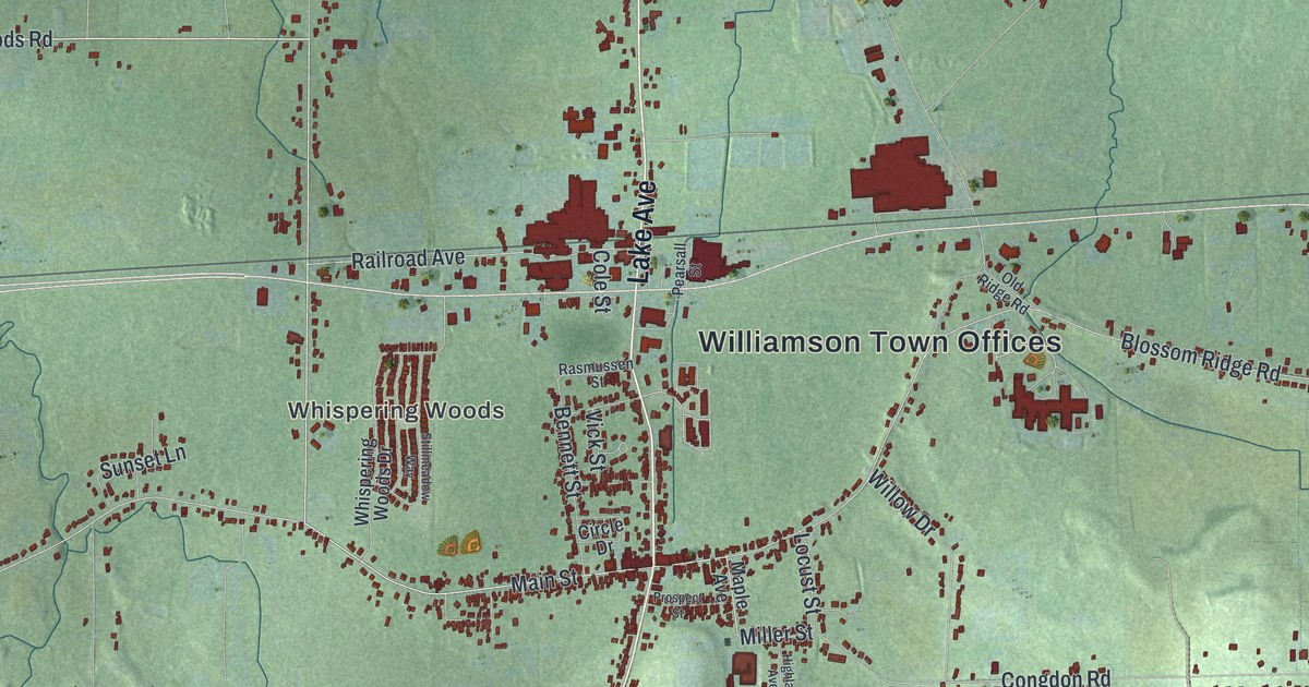
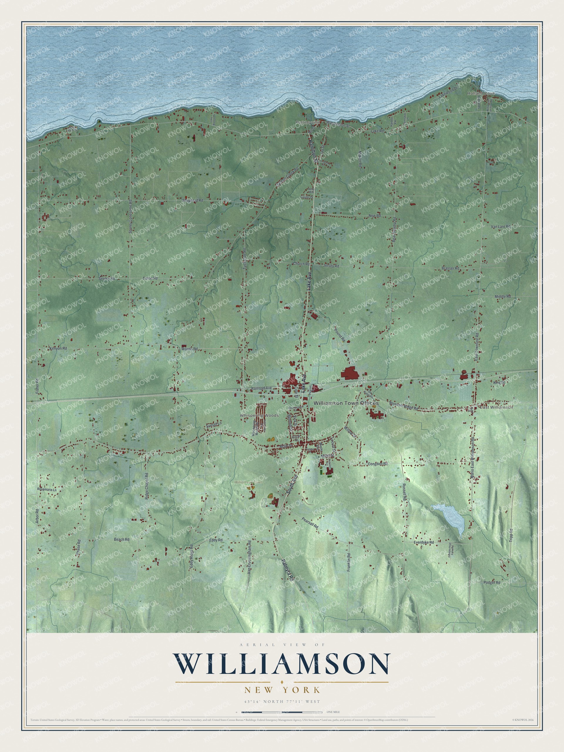
This beautifully detailed map of Williamson, New York was created in 2026 using aerial imagery combined with modern topographical, census, street and landmark data. It’s a one-of-a-kind view of Williamson that combines accurate data with a vintage aesthetic. The map shows every building in its true location, many of the roads carry their names, and the shaded topographic relief shows the shape of the land.
Explore an aerial view of Williamson, New York
On the map you’ll find Williamson Town Offices, Holland Cove, East Williamson, Pultneyville, Whispering Woods, and Williamson Town Park, along with Lake Avenue, Hamilton Street, South Avenue, Palmyra Road, and more. If you look closely you can even find your house accurately drawn in its correct location. Zoom in on the preview to look for yours.
Did You Know?
Williamson is named after Charles Williamson, a land agent for the Pulteney Estate. The town was formed from Sodus in 1802. It was once much larger, until Ontario split off in 1807 and Marion in 1825.
Take a closer look at the Williamson map
Names on this map
These names are printed on this map.
Places: Williamson Town Offices, Holland Cove, East Williamson, Pultneyville, Whispering Woods, Williamson Town Park and Williamson on the Lake.
Streets and roads: Lake Avenue, Hamilton Street, South Avenue, Palmyra Road, Main Street, Woods Road, Miller Street, Fisher Road, Washington Street, Eaton Road, Blossom Ridge Road, Lake Road.
More street names, A to Z
Arbor Road, Beach Road, Bear Swamp Road, Bennett Street, Brasser Road, Church Road, Circle Drive, Cole Street, Congdon Road, Cuyler Drive, East Townline Road, Eddy Ridge Road, Eddy Road, Everdyke Road, Everdyke Road Extended, Foxwood Drive, Franklin Road, Harbor Vw, Highland Avenue, Hollands Cv, Jay Street, Jersey Road, Kenyon Road, King Street, Lake Breeze Drive, Lakewood Drive, Locust Street, Maken Road, Maple Avenue, Mario East Williamson Road, Middle Road, Mill Street, New Road, Old Ridge Road, Pearl Street, Pearsall Road, Pearsall Street, Pease Road, Podger Road, Pound Road, Prospect Street, Railroad Avenue, Rasmussen Street, Ridge Chapel Road, Rosemarie Lane, Russell Road, Salmon Creek Road, Seeley Road, Selby Way, Shepherd Road, Spinnaker Lane, Stillmeadow Way, Stoney Lonesome Road, Sunset Lane, Tripp Road, Tuckahoe Road, Van Cruyningham Road, Van Lare Road, Vick Street, Whispering Woods Drive, White Birch Cv, Willow Drive.
See it on a wall
The Williamson map as a framed print. Swipe for more.


This beautifully detailed map of Williamson makes an attractive addition to your office, library, or den, and it can even be used to teach children the geography and history of the area. It also makes a great gift for anyone who grew up in Williamson or moved away. When you’re done exploring, click here to get your copy of the Williamson map.