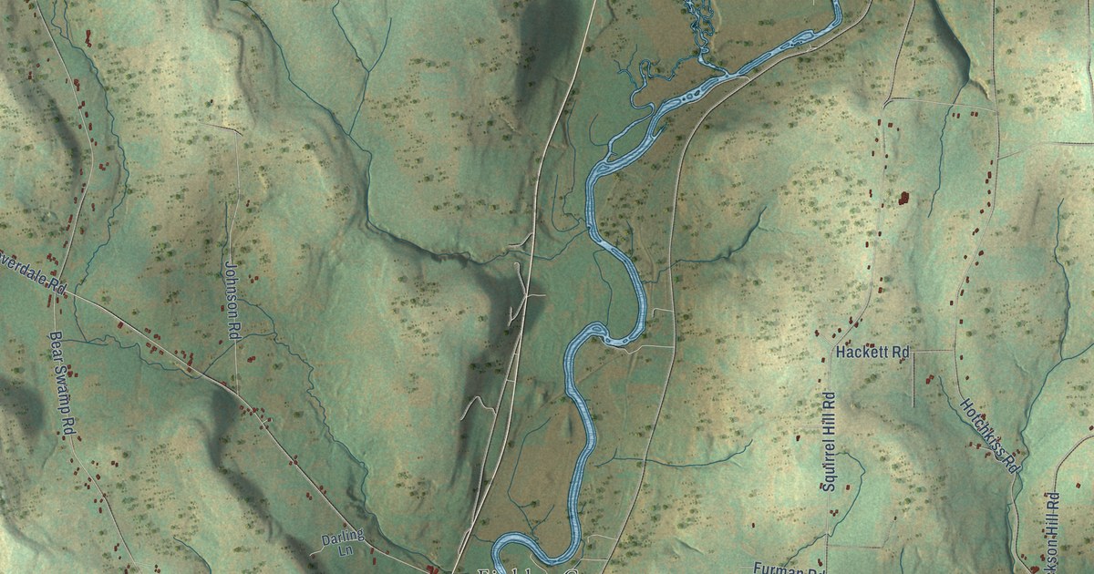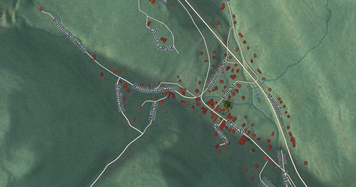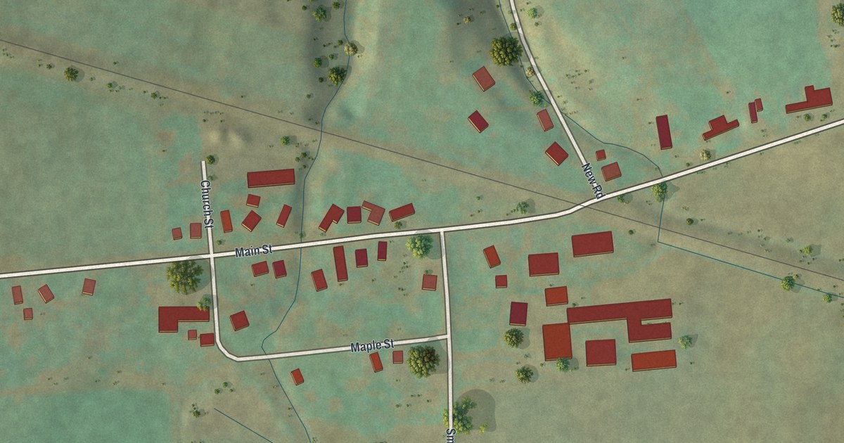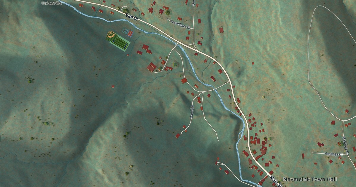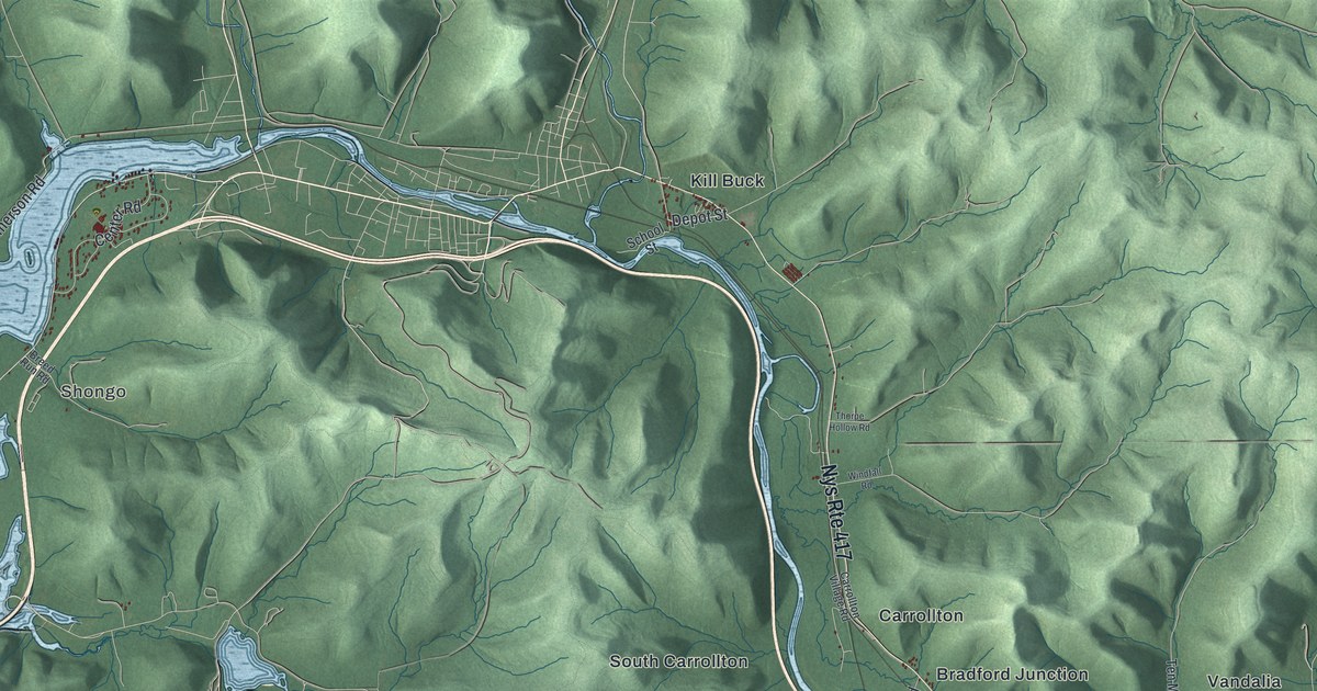
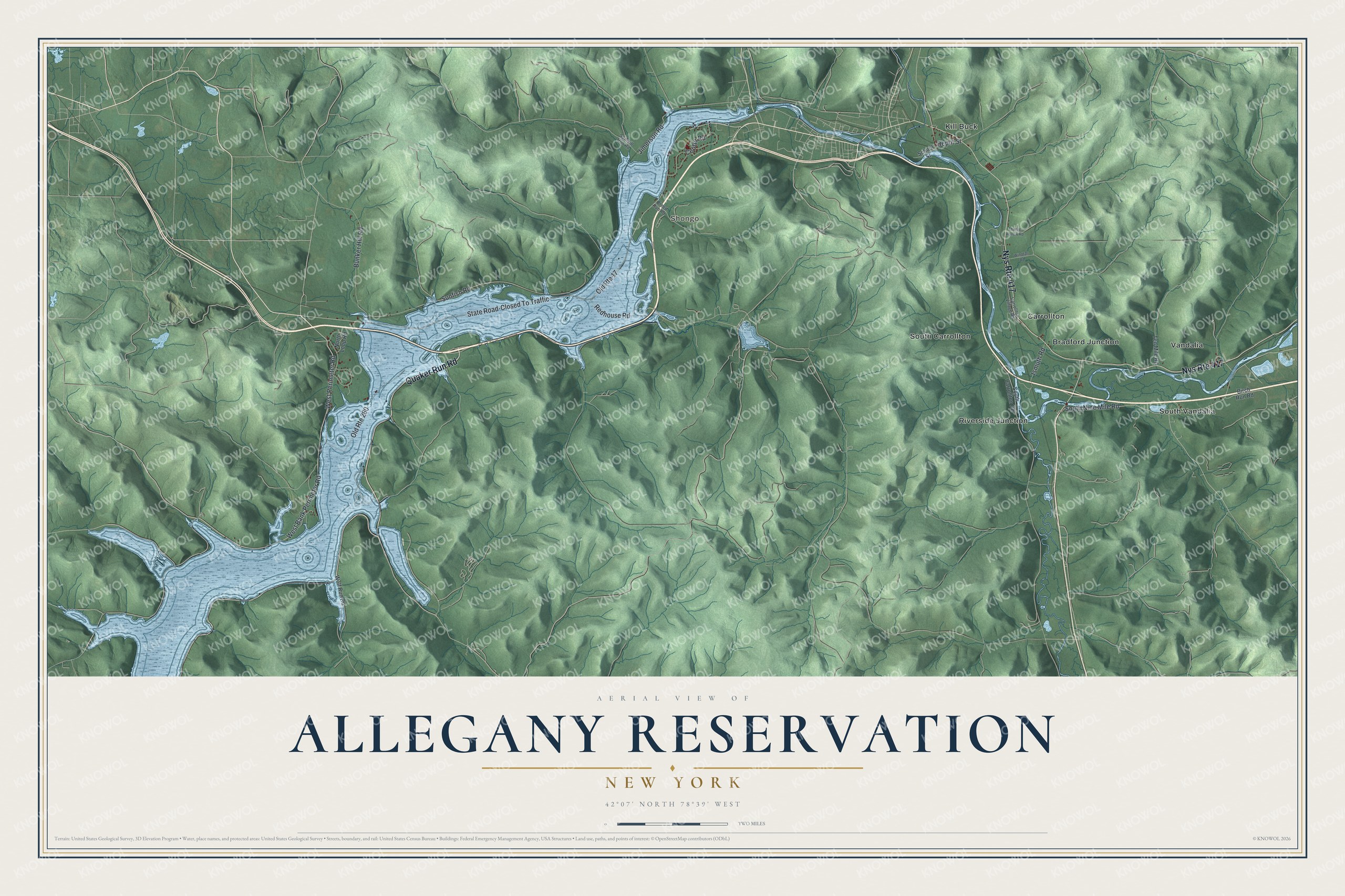
This beautifully detailed map of the Allegany Reservation, New York was created in 2026 using aerial imagery combined with modern topographical, census, street and landmark data. It’s a one-of-a-kind view of the Allegany Reservation that combines accurate data with a vintage aesthetic. The map shows every building in its true location, many of the roads carry their names, and the shaded topographic relief shows the shape of the land.
Explore an aerial view of Allegany Reservation, New York
On the map you’ll find Shongo, Bradford Junction, Carrollton, Kill Buck, and Riverside Junction, along with Quaker Run Road, Bank Perimeter Road, Perimeter Road, Nine Mile Road, Sunfish Road, and more. If you look closely you can even find your house accurately drawn in its correct location. Zoom in on the preview to look for yours.
Did You Know?
The Allegany Reservation of the Seneca Nation lies along both banks of the Allegheny River. Building the Kinzua Dam, begun in 1961 and finished in 1965, flooded the reservation’s western part. Those lands became uninhabitable. The Seneca received land at Jimerson Town, where many new houses were built.
The Allegany Territory is one of the lands of the Seneca Nation, the largest of the six nations of the Iroquois Confederacy, also called the Six Nations. The territory follows the Allegheny River from the Pennsylvania border upriver to Vandalia and lies entirely within Cattaraugus County. Some 10,000 of its original 30,469 acres were flooded by the Kinzua Reservoir after the Army Corps of Engineers built the Kinzua Dam, and the territory also includes the City of Salamanca.
Take a closer look at the Allegany Reservation map
Names on this map
These names are printed on this map.
Places: Shongo, Bradford Junction, Carrollton, Kill Buck, Riverside Junction, South Carrollton, South Vandalia and Vandalia.
Streets and roads: Nys Route 417, Quaker Run Road, State Road-Closed To Traffic, Old Route 17, West Bank Perimeter Road, West Perimeter Road, South Nine Mile Road, Sunfish Road, Old Route 280, Center Road, Bunker Hill Road, Jimerson Road.
More street names, A to Z
Birch Run Road, Breed Run Road, Carrollton Village Road, Depot Street, Ismuth Road, North Loop Road, Redhouse Road, Sawmill Run Road, School Street, South Carrollton Road, Ten Mile Road, Thorpe Hollow Road, Windfall Road, Wolf Run Road.
See it on a wall
The Allegany Reservation map as a framed print. Swipe for more.


This beautifully detailed map of the Allegany Reservation makes an attractive addition to your office, library, or den, and it can even be used to teach children the geography and history of the area. It also makes a great gift for someone who left the Allegany Reservation and still calls it home. When you’re done exploring, click here to get your copy of the Allegany Reservation map.