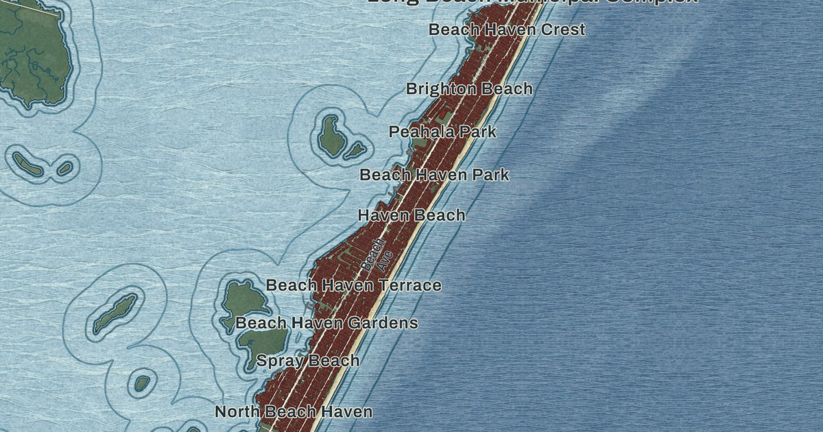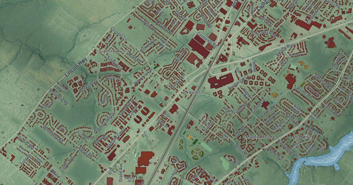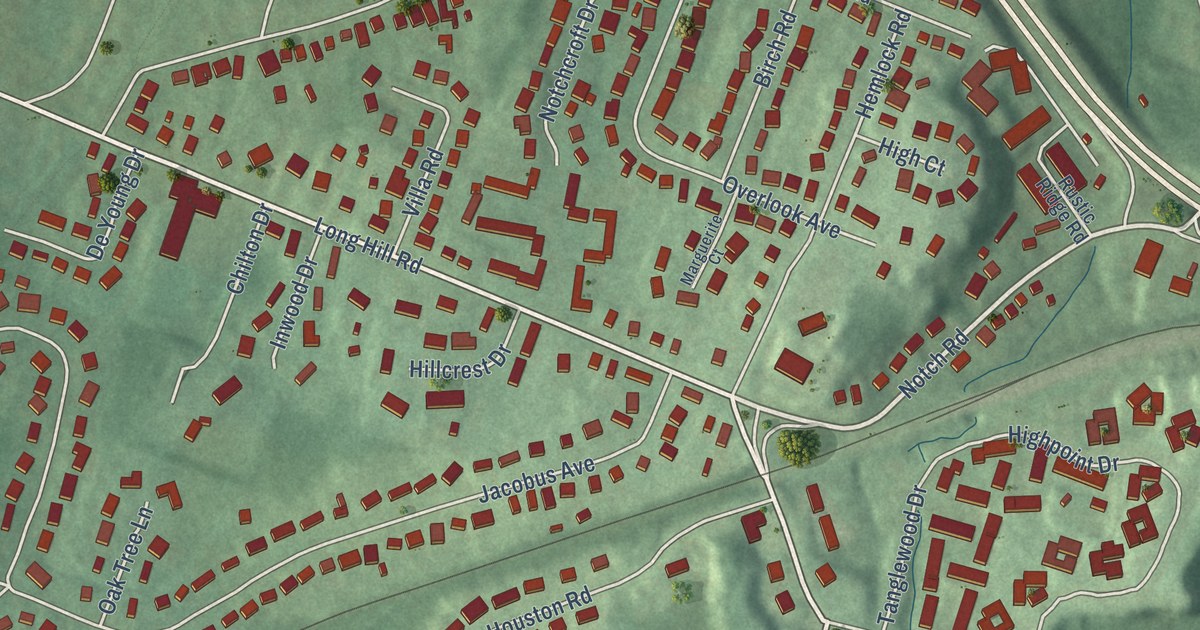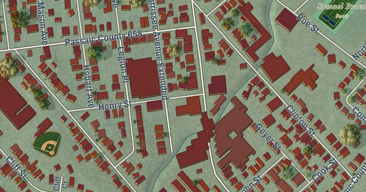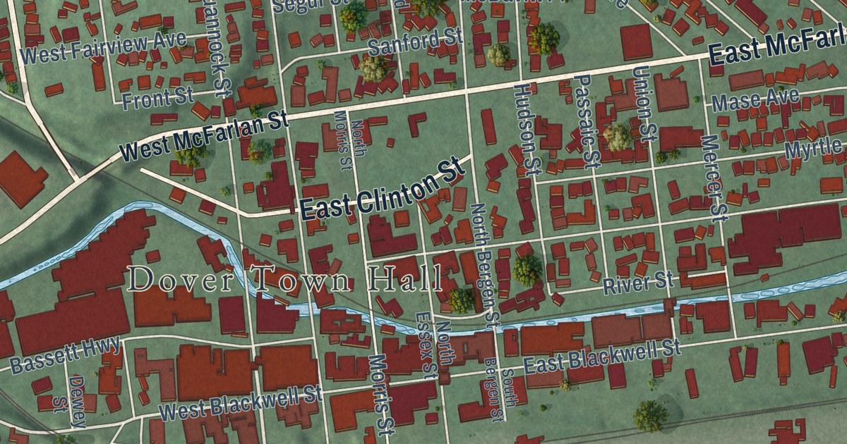
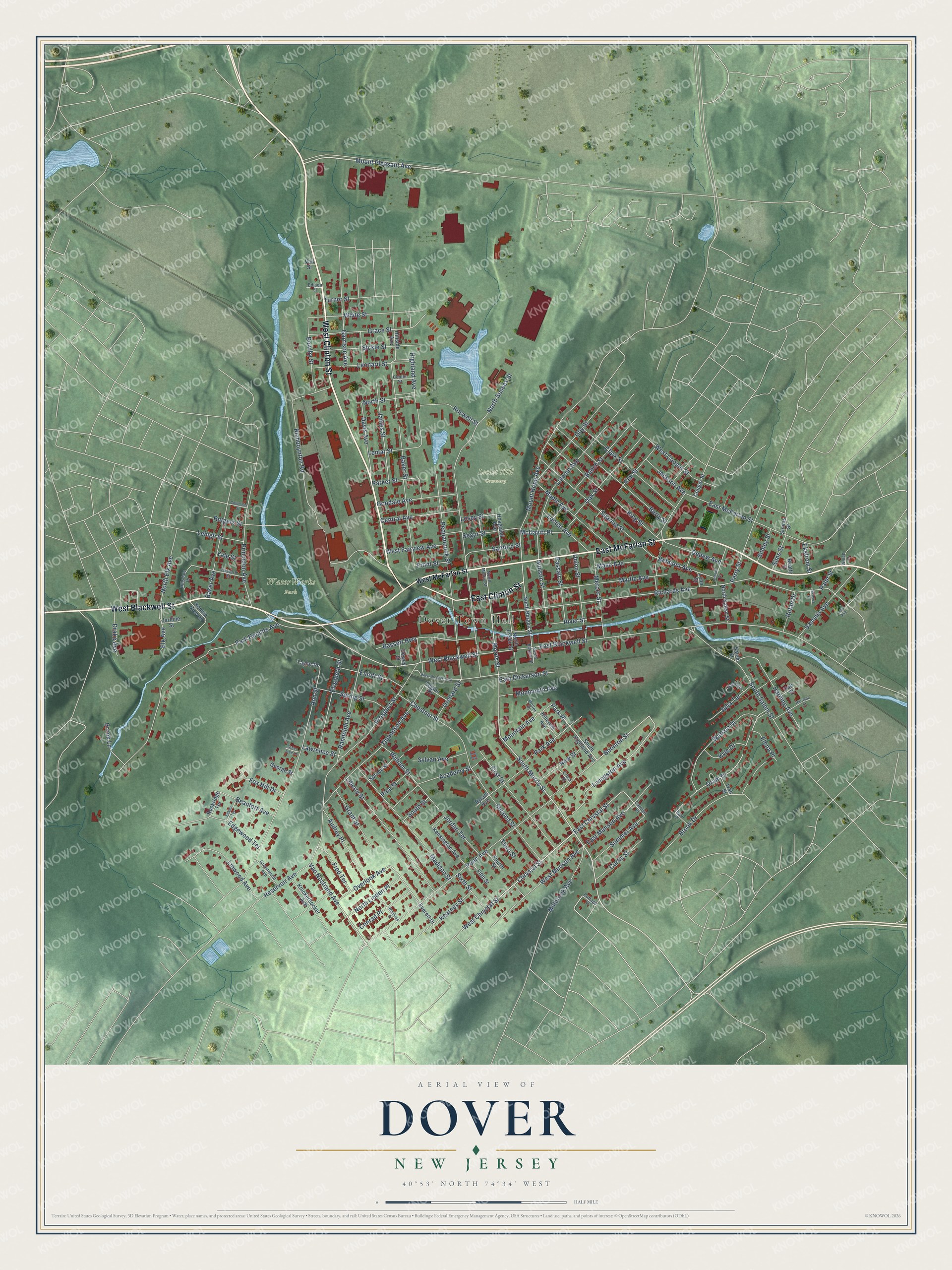
This beautifully detailed map of Dover, New Jersey was created in 2026 using aerial imagery combined with modern topographical, census, street and landmark data. It’s a one-of-a-kind view of Dover that combines accurate data with a vintage aesthetic. The map shows every building in its true location, many of the roads carry their names, and the shaded topographic relief shows the shape of the land.
Explore an aerial view of Dover, New Jersey
On the map you’ll find Dover Town Hall, Locust Hill Cemetery, WaterWorks Park, and Park Place, along with West Clinton Street, West Blackwell Street, East McFarlan Street, East Clinton Street, Mount Pleasant Avenue, Chrystal Street, Van Nostrand Avenue, South Morris Street, and more. If you look closely you can even find your house accurately drawn in its correct location. Zoom in on the preview to look for yours.
Did You Know?
In 1939, Dover was sometimes called the Pittsburgh of New Jersey. It had once been an important port on the old Morris Canal. The town shipped ore for an iron district that once made mining one of the state’s main industries. That’s from the 1939 WPA guide to New Jersey.
Take a closer look at the Dover map
Names on this map
These names are printed on this map.
Places: Dover Town Hall, Locust Hill Cemetery and WaterWorks Park.
Streets and roads: West Clinton Street, West Blackwell Street, East McFarlan Street, East Clinton Street, Mount Pleasant Avenue, Chrystal Street, Van Nostrand Avenue, Park Place, South Morris Street, Boonton Street, Livingston Avenue, East Chrystal Street.
More street names, A to Z
Academy Street, Ann Street, Audrey Place, Baker Avenue, Baker Street, Bart Place, Bassett Highway, Beatty Street, Beaufort Avenue, Beech Street, Belmont Avenue, Berry Street, Bonnie View Drive, Bowlby Street, Brook Drive, Brook Lane, Byram Avenue, Carolyn Place, Center Street, Central Avenue, Chestnut Street, Clark Street, Columbia Street, Conger Street, Conrad Place, Cottage Street, Cross Street, Curtis Street, Davis Avenue, Depew Avenue, Dewey Street, Drake Avenue, East Blackwell Street, East Dickerson Street, East Munson Avenue, Edgewood Terrace, Edison Street, Ekstrom Street, Elena Place, Elizabeth Street, Elk Avenue, Elliott Street, Elm Street, Euken Terrace, Everett Drive, Fifth Street, First Street, Fourth Street, Fox Hill Drive, Fred Terrace, Front Street, Garrison Avenue, George Street, Goodale Avenue, Grace Street, Grant Street, Green Tree Lane, Greenwood Avenue, Guy Street, Harding Avenue, Harrison Street, Harvard Street, Highland Avenue, Hillcrest Avenue, Hillsdale Drive, Hillside Avenue, Hoagland Avenue, Hudson Street, Ivan Street, Jackson Avenue, James Street, Jardine Street, Jessica Lane, Jordan Terrace, Julia Terrace, Kearney Street, Kensington Avenue, King Street, Knickerbocker Avenue, Kyle Drive, Lawrence Street, Lee Avenue, Legion Place, Lehigh Street, Lemar Street, Leonard Street, Liberty Street, Lincoln Avenue, Linwood Avenue, Locust Avenue, Losey Street, Lynn Street, Madison Street, Maple Avenue, Mase Avenue, McDavitt Place, Mercer Street, Millbrook Avenue, Moller Place, Monmouth Avenue, Morris Street, Mountain Avenue, Mount Hope Avenue, Myrtle Avenue, New Street, North Bergen Street, North Elk Avenue, North Essex Street, North Linden Place, North Morris Street, North Salem Street, North Street, North Sussex Street, Oak Street, Oram Drive, Orchard Street, Overlook Avenue, Palm Street, Park Avenue, Parker Street, Park Heights Avenue, Passaic Street, Penn Avenue, Pequannock Street, Perry Street, Pine Street, Princeton Avenue, Prospect Street, Randolph Avenue, Reeves Street, Reservoir Avenue, Richards Avenue, Richboynton Road, River Street, Rockridge Terrace, Roswell Street, Rutan Drive, Rutgers Street, Salem Street, Sammis Avenue, Sanford Street, Schley Street, Searing Street, Second Street, Segur Street, Sickle Street, Simms Street, Sims Street, Sixth Street, South Bergen Street, South Highland Avenue, South Salem Street, South Street, Spring Street, Spruce Street, Summer Avenue, Sylvan Avenue, Taft Street, Taylor Place, Third Street, Thompson Avenue, Trenton Street, Turner Street, Union Street, Vail Street, Watson Drive, Welch Lane, West Chrystal Street, West Cooper Street, West Dickerson Street, West Fairview Avenue, West McFarlan Street, West Munson Avenue, White Street, William Street, Winthrop Place, Yale Street.
See it on a wall
The Dover map as an 18 x 24 inch print in a black frame.

This beautifully detailed map of Dover makes an attractive addition to your office, library, or den, and it can even be used to teach children the geography and history of the area. It also makes a great gift for anyone who grew up in Dover or moved away. When you’re done exploring, click here to get your copy of the Dover map.