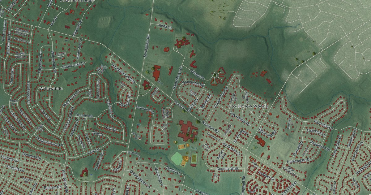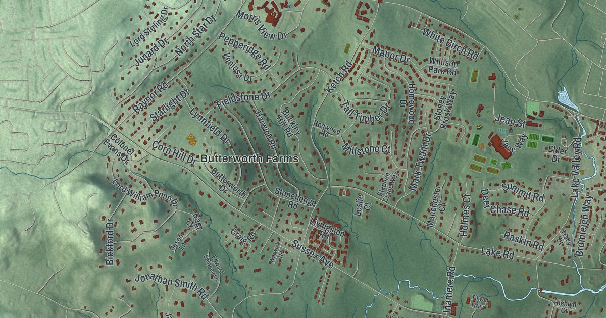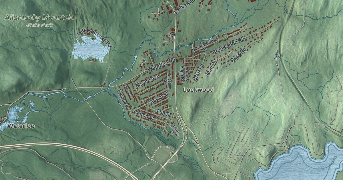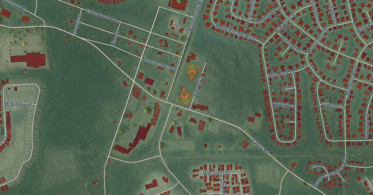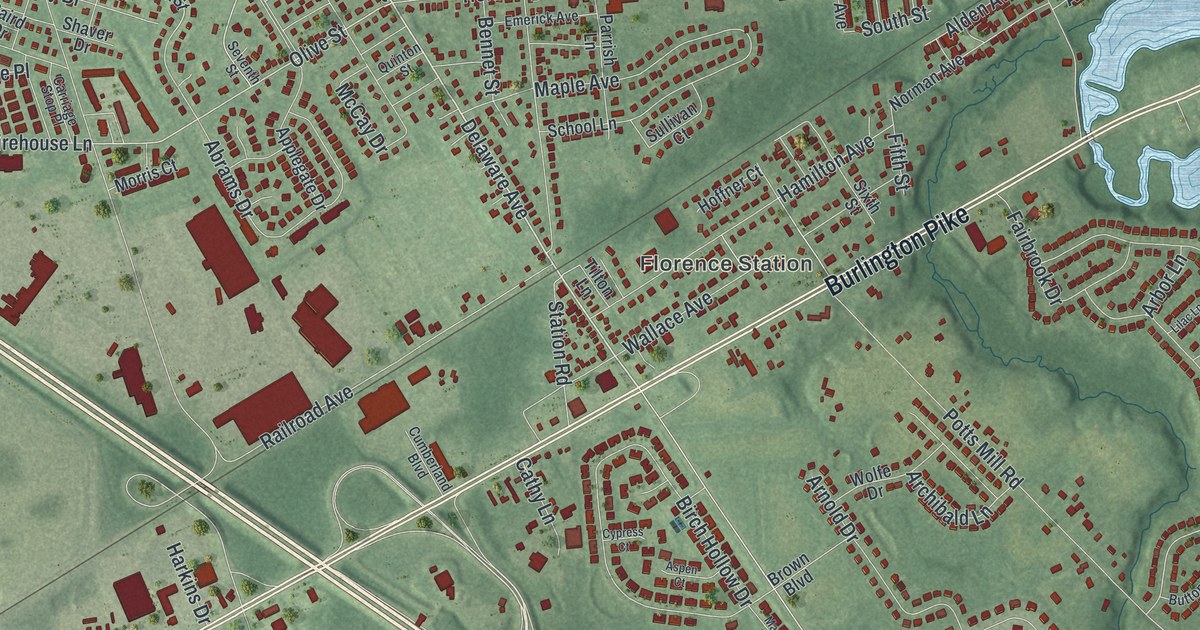
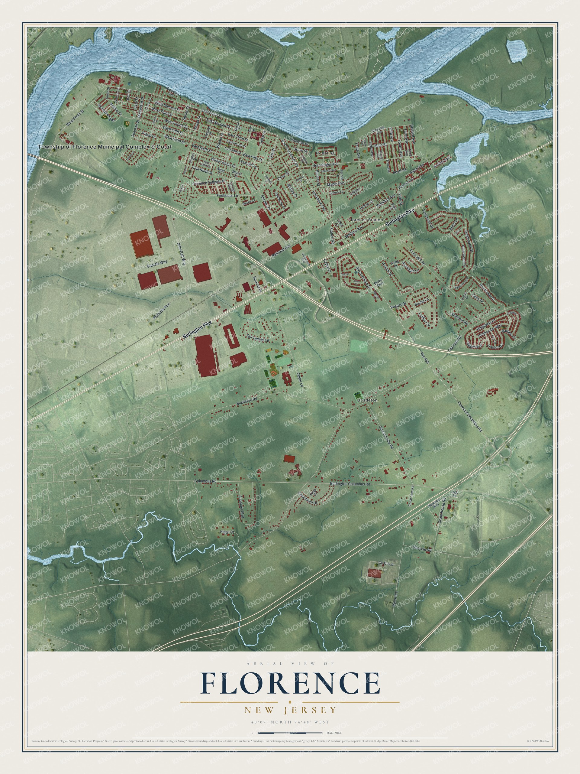
This beautifully detailed map of Florence, New Jersey was created in 2026 using aerial imagery combined with modern topographical, census, street and landmark data. It’s a one-of-a-kind view of Florence that combines accurate data with a vintage aesthetic. The map shows every building in its true location, many of the roads carry their names, and the shaded topographic relief shows the shape of the land.
Explore an aerial view of Florence, New Jersey
On the map you’ll find Roebling, Florence Station, Bustleton, and Recovery, along with Township of Florence Municipal Complex & Court, Burlington Pike, Delaware Avenue, East Front Street, East Delaware Avenue, John Galt Way, Oak Street, Brookside Drive, and more. If you look closely you can even find your house accurately drawn in its correct location. Zoom in on the preview to look for yours.
Did You Know?
The Florence City Company formed in 1849 and laid out the lots and streets of Florence. It also built the Florence Hotel and a wharf. In 1857, Richard Jones started the Florence Iron Works on the Delaware River. By 1900, much of the town’s workforce depended on the foundry.
Take a closer look at the Florence map
Names on this map
These names are printed on this map.
Places: Township of Florence Municipal Complex & Court, Roebling, Florence Station and Bustleton.
Streets and roads: Burlington Pike, Delaware Avenue, East Front Street, East Delaware Avenue, Recovery, John Galt Way, Oak Street, Brookside Drive, East Sixth Street, Scale House Road, Olive Street, West Front Street.
More street names, A to Z
Abrams Drive, Acorn Court, Alden Avenue, Amboy Avenue, Andrews Road, Applegate Drive, Arbor Lane, Archibald Lane, Arnold Drive, Aspen Court, Baird Drive, Barbee Court, Bennet Street, Birch Hollow Drive, Bodine Street, Boulevard Street, Broad Street, Brown Boulevard, Burlington Columbus Road, Bustleton Road, Buttonwood Drive, Carriage Stop Place, Carty Drive, Cathy Lane, Cedar Lane, Cedar Lane Road, Cedar Street, Challander Way, Chestnut Street, Church Street, Coachman Drive, Co Co Lane, Columbus Road, Cooper Street, Creekwood Drive, Cumberland Boulevard, Cypress Court, Daniels Way, East Eighth Street, East Fifth Street, East Fourth Street, East Ninth Street, East Second Street, East Third Street, Eighth Avenue, Emerick Avenue, Eyre Street, Fairbrook Drive, Fifth Avenue, Fifth Street, Firehouse Lane, Florence Columbus Road, Florence Tollgate Place, Foundry Street, Fountain Boulevard, Fourth Avenue, Grove Street, Hamilton Avenue, Harkins Drive, Hegyi Court, Hoffner Court, Hornberger Avenue, Iron Street, Jacksonville Road, Kings Court, Kinsman Road, Lee Lane, Leffler Circle, Lilac Lane, Loop Road, Lucas Court, Magnolia Court, Main Street, Maple Avenue, McCay Drive, Morris Court, Ninth Avenue, Norman Avenue, Old York Road, Parrish Lane, Pigott Drive, Pine Street, Potts Mill Road, Quinton Street, Railroad Avenue, Recovery Boulevard, Recycle Road, Regars Drive, Richardson Street, Richards Run, Ridgeway Drive, Ridgway, Ridgway Drive, Riverside Avenue, Riverview Avenue, Riverview Drive, Rosewood Drive, Route 656, Schisler Drive, School Lane, Seaman Drive, Second Avenue, Seventh Avenue, Seventh Street, Seybe Lane, Shaver Drive, Sixth Avenue, Sixth Street, South Street, Spring Street, Spruce Street, Station Road, Sullivan Court, Tall Timber Lane, Tenth Avenue, Tetkoski Court, Third Avenue, Tilton Lane, Trainor Circle, Union Street, Wallace Avenue, Walnut Street, West Fifth Street, West Fourth Street, West Second Street, West Sixth Street, West Third Street, Wilbur Henry Drive, Winter Street, Wolfe Drive.
See it on a wall
The Florence map as an 18 x 24 inch print in a black frame.

This beautifully detailed map of Florence makes an attractive addition to your office, library, or den, and it can even be used to teach children the geography and history of the area. It also makes a great gift for anyone who grew up in Florence or moved away. When you’re done exploring, click here to get your copy of the Florence map.