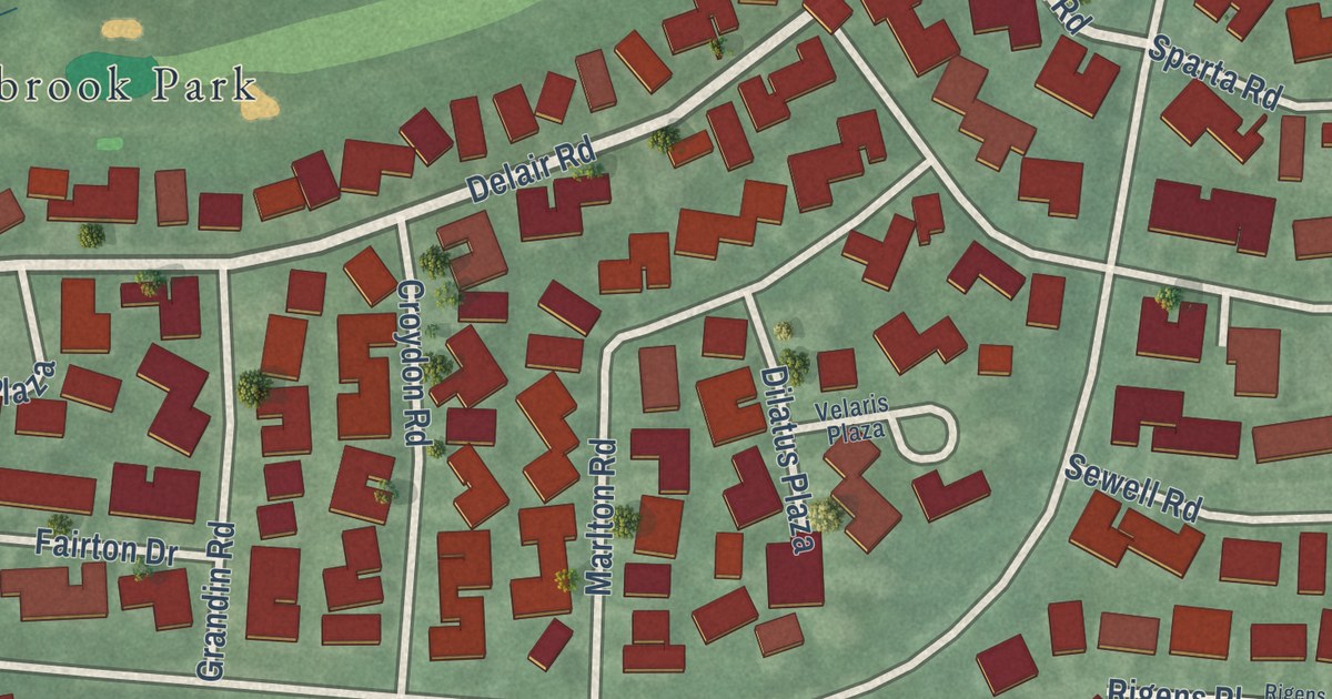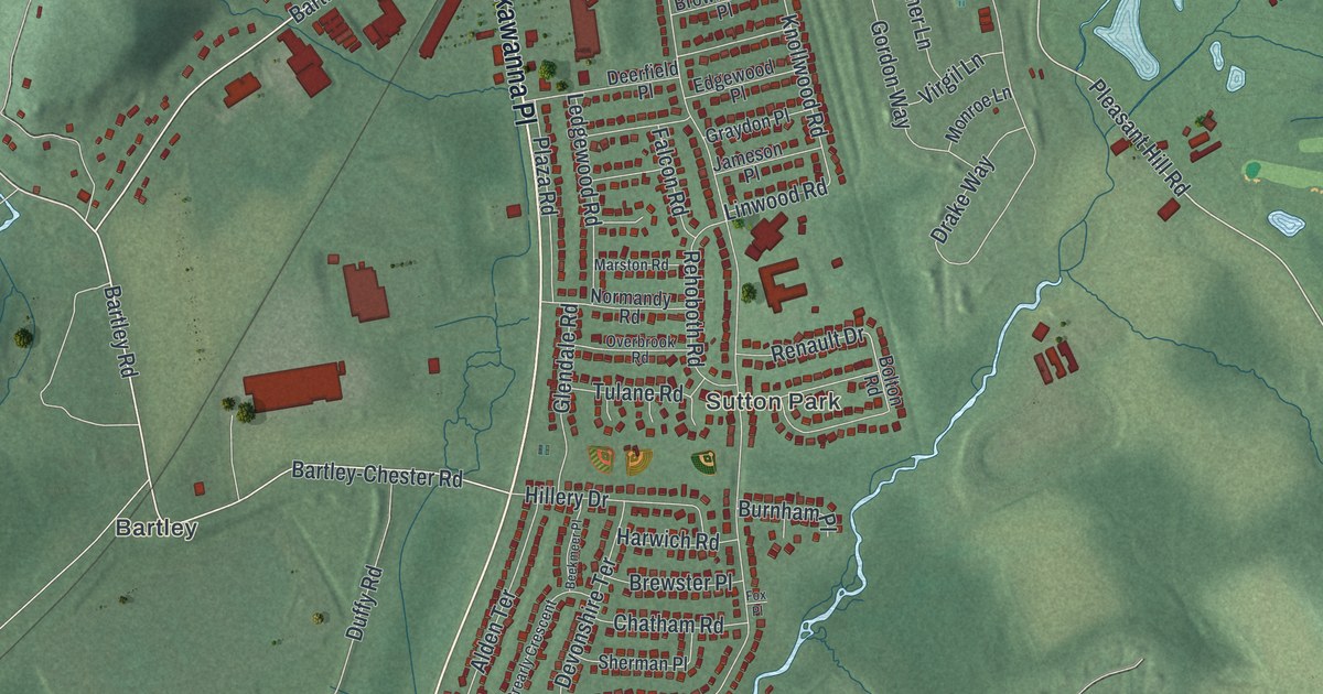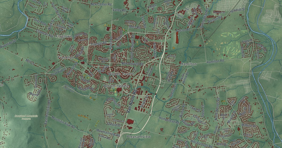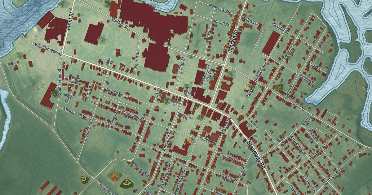
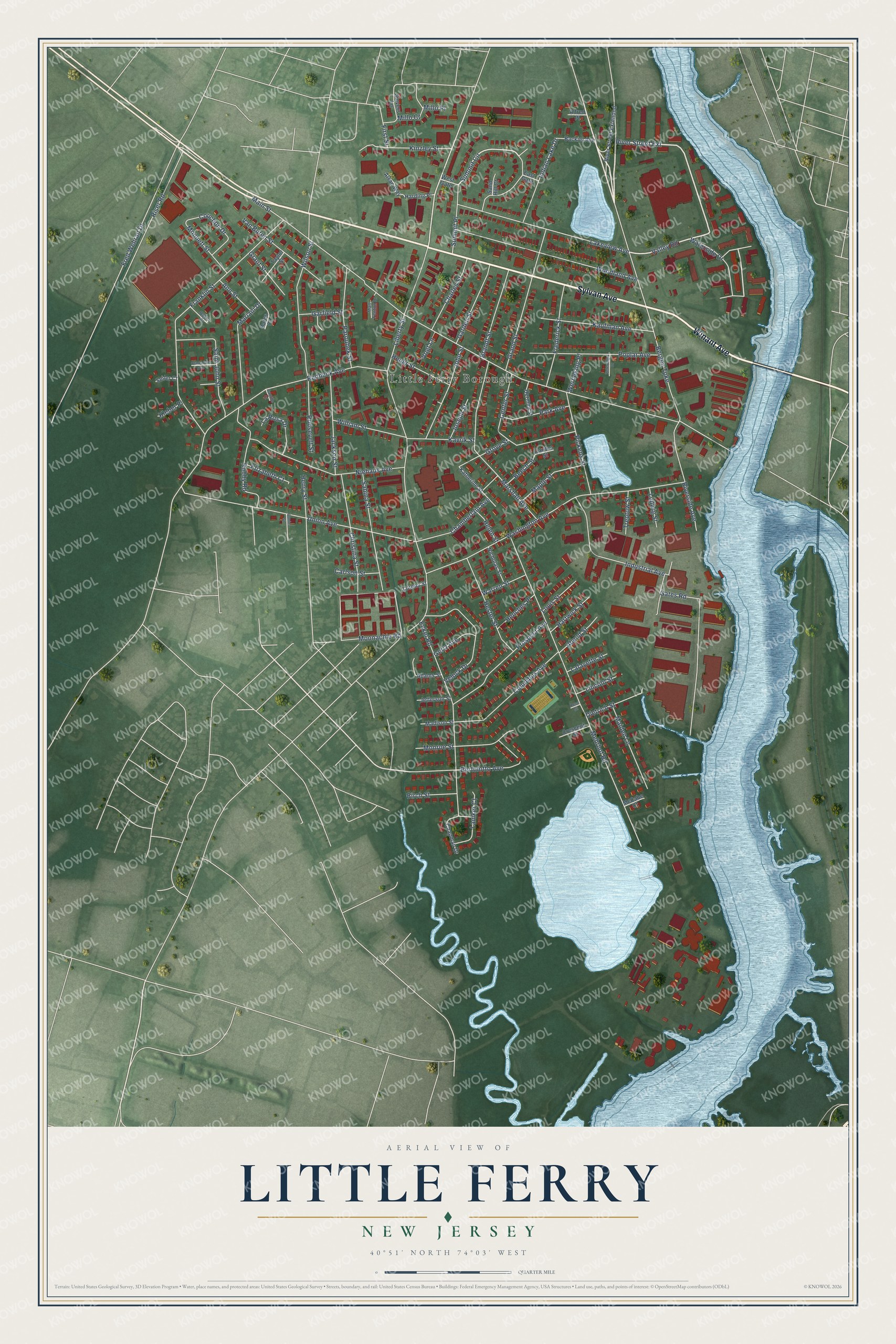
This beautifully detailed map of Little Ferry, New Jersey was created in 2026 using aerial imagery combined with modern topographical, census, street and landmark data. It’s a one-of-a-kind view of Little Ferry that combines accurate data with a vintage aesthetic. The map shows every building in its true location, many of the roads carry their names, and the shaded topographic relief shows the shape of the land.
Explore an aerial view of Little Ferry, New Jersey
On the map you’ll find River Street Extension, along with Sylvan Avenue, Winant Avenue, Waterside Drive, Bergen Turnpike, Valley Road, Summit Circle, Liberty Street, Main Street, Washington Avenue, Mehrhof Road, and more. If you look closely you can even find your house accurately drawn in its correct location. Zoom in on the preview to look for yours.
Did You Know?
In colonial days, an important ferry crossing here linked the towns of Bergen and Hackensack. The ferry was pulled across by rope, beginning in 1659. It kept running until 1826. That year a bridge on the Bergen Turnpike replaced it.
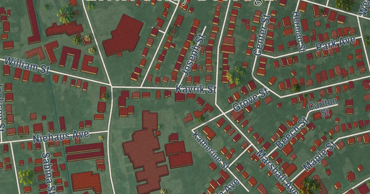
Take a closer look at the Little Ferry map
Names on this map
These names are printed on this map.
Places: Little Ferry Borough.
Streets and roads: Sylvan Avenue, Winant Avenue, River Street Extension, Waterside Drive, Bergen Turnpike, Valley Road, Summit Circle, Liberty Street, Main Street, Washington Avenue, Mehrhof Road, Franklin Street.
More street names, A to Z
Abend Street, Adams Street, Alfred Place, Alsan Way, Ann Street, Backiel Avenue, Baker Court, Bares Court, Beech Street, Bertolotto Avenue, Birch Street, Brandt Street, Camille Court, Carlson Street, Carlton Street, Center Street, Chamberlain Avenue, Chapman Drive, Charles Street, Christina Street, Claremont Avenue, Columbus Avenue, Couchon Drive, Crescent Street, Daniel Street, Dietrich Street, East Gate, Eckel Road, Elizabeth Court, First Street, Frederick Street, Fred Wehran Drive, Garden Street, Garfield Street, Gates Road, Gertz Avenue, Grand Street, Grant Street, Grove Street, Harding Place, Hartwick Street, Helen Street, Henches Place, Henry Street, Herman Street, Hester Street, Heuer Street, Indian Lake Drive, Industrial Avenue, Jackson Street, Jefferson Street, John Street, Joseph Street, Katherine Street, Kaufman Avenue, Kavrik Street, Kinzley Street, Kleber Place, Lafayette Street, Lakeview Avenue, Lamker Court, La Rosa Drive, Lincoln Street, Lorena Street, Louis Street, Ludwig Street, Madison Street, Maiden Lane, Maple Street, Mariani Drive, Marshall Avenue, Matt Fenton Drive, McCabe Court, Millo Court, Millo Place, Monnett Street, Monroe Street, Moonachie Road, Nicholas Street, Niehaus Avenue, Park Avenue, Paroubek Street, Petersilge Drive, Pickens Street, Poplar Avenue, Prospect Avenue, Redneck Avenue, Riser Road, Riverside Avenue, River Street Extended, Robby Road, Roosevelt Street, Rose Street, Sabina Street, Saint John Street, Sand Hill Court, Seiler Court, Sievers Lane, Summit Place, Taylor Street, Treptow Street, Union Avenue, Van Buren Street, Velock Drive, Vogt Lane, Warren Street, Werneking Place, West Gate, William Street, Wilson Street, Woodland Avenue.
See it on a wall
The Little Ferry map as an 18 x 24 inch print in a black frame.

This beautifully detailed map of Little Ferry makes an attractive addition to your office, library, or den, and it can even be used to teach children the geography and history of the area. It also makes a great gift for anyone with Little Ferry roots. When you’re done exploring, click here to get your copy of the Little Ferry map.