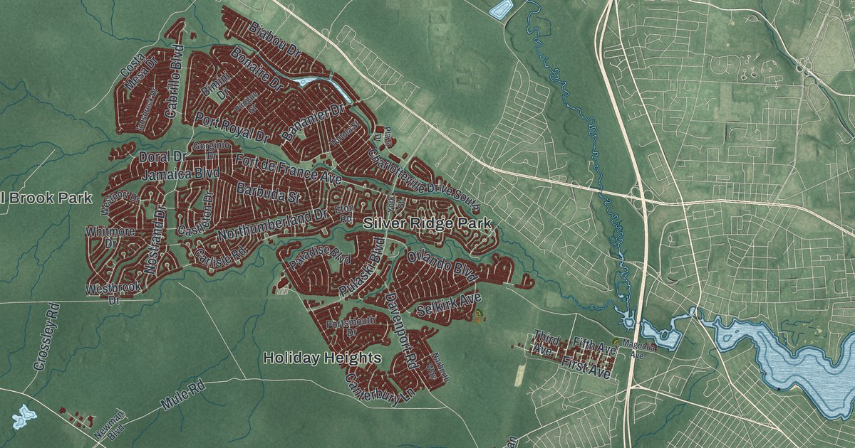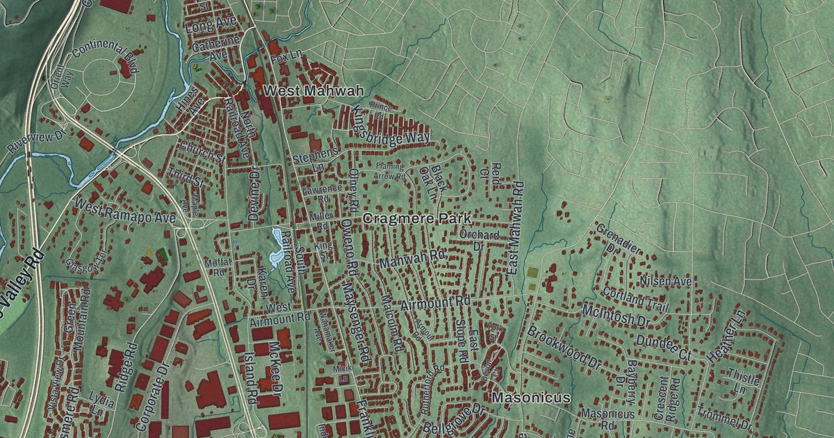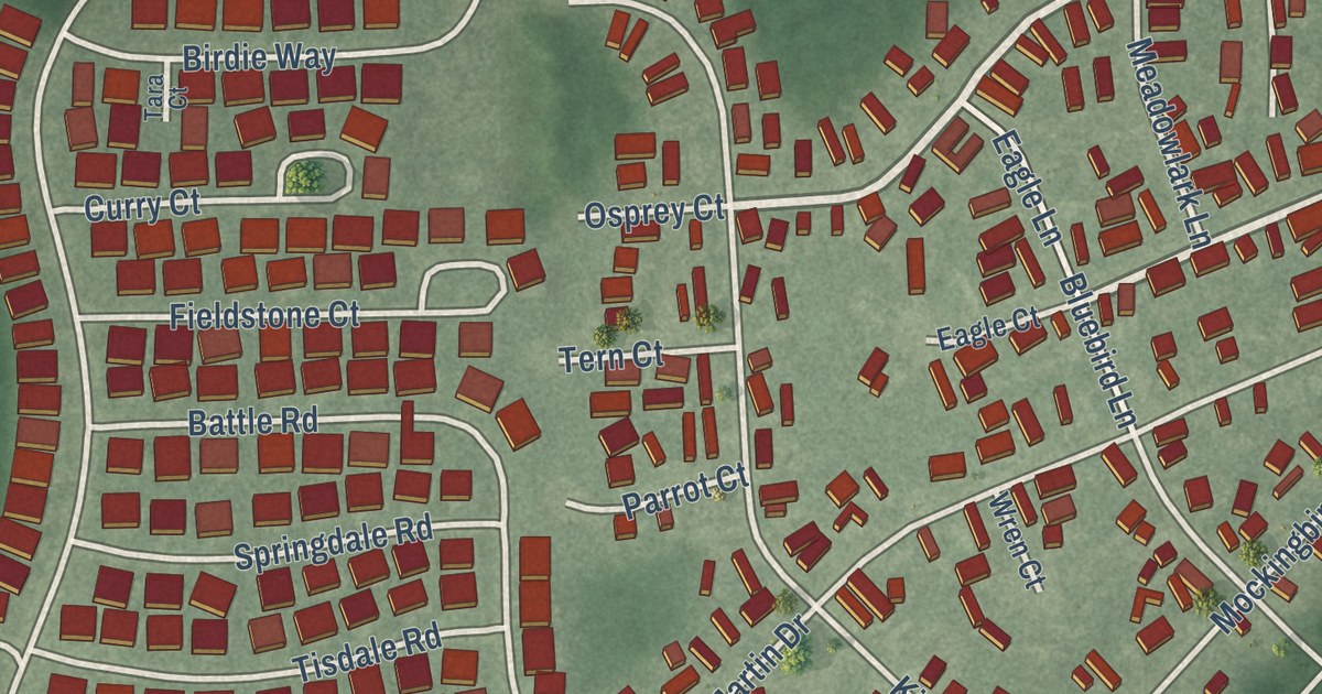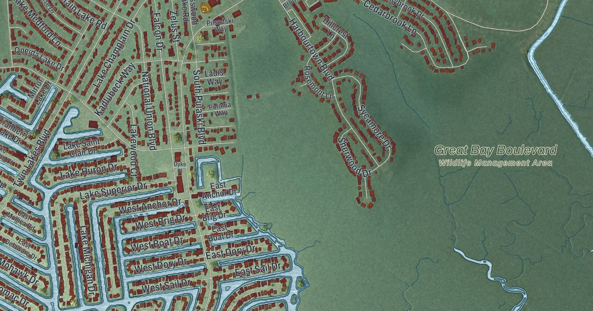
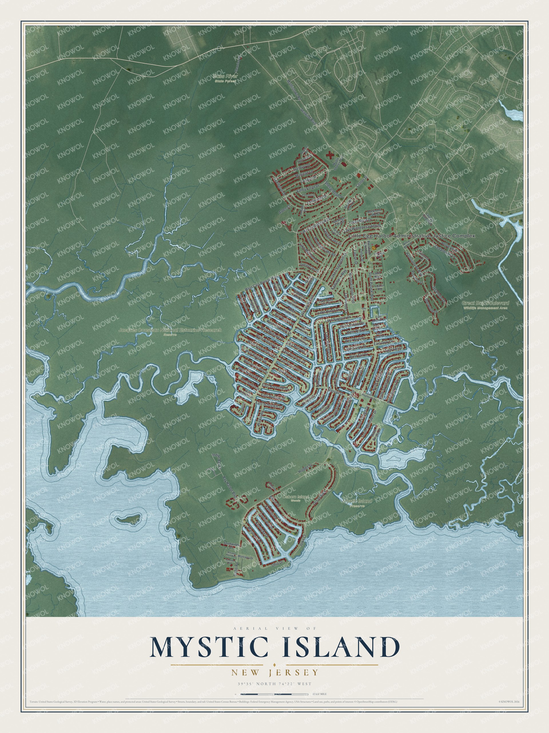
This beautifully detailed map of Mystic Island, New Jersey was created in 2026 using aerial imagery combined with modern topographical, census, street and landmark data. It’s a one-of-a-kind view of Mystic Island that combines accurate data with a vintage aesthetic. The map shows every building in its true location, many of the roads carry their names, and the shaded topographic relief shows the shape of the land.
Explore an aerial view of Mystic Island, New Jersey
On the map you’ll find Little Egg Harbor Administrative Justice Complex, Bass River State Forest, Great Bay Boulevard Wildlife Management Area, and Jacques Cousteau National Estuarine Research Reserve, along with Radio Road, Twin Lakes Boulevard, Mathistown Road, Cala Breeze Way, and more. If you look closely you can even find your house accurately drawn in its correct location. Zoom in on the preview to look for yours.
Did You Know?
Mystic Island was once called Hickory Island. In 1912 a German company built the Tuckerton Wireless Tower here. From June 1914 it sent messages to a twin station in Eilvese, Germany. The U.S. Navy took control that September. The link to Germany ended when America entered World War I in April 1917.
Take a closer look at the Mystic Island map
Names on this map
These names are printed on this map.
Places: Little Egg Harbor Administrative Justice Complex, Bass River State Forest, Great Bay Boulevard Wildlife Management Area, Jacques Cousteau National Estuarine Research Reserve, Mystic Island Preserve and Osborn Island Woods.
Streets and roads: Radio Road, Twin Lakes Boulevard, Mathistown Road, West Cala Breeze Way, Center Street, Lake Champlain Drive, Seawind Boulevard, Lexington Drive, National Union Boulevard, Lake Crystalbrook Drive, Valley Forge Drive, Harbourtown Boulevard.
More street names, A to Z
Alden Court, Basswood Lake Road, Bay Harbor Boulevard, Beach Drive, Boulder Lake Drive, Buckhorn Lake Court, Cayuga Lake Drive, Cedarbrook Lane, Clearview Drive, Concord Court, Country Club Boulevard, Cranberry Lake Drive, Danbury Drive, Dyke Place, East Anchor Drive, East Boat Drive, East Brig Drive, East Delaware Drive, East Dory Drive, East Hudson Drive, East Mohawk Drive, East Mullica Road, East Navasink Drive, East Playhouse Drive, East Potomac Drive, East Raritan Drive, East Sail Drive, East Schuylkill Drive, East Susquehanna Drive, Falcon Drive, Flushing Bay Court, Hancock Drive, Hillcrest Lane, Holden Street, Hollybrook Drive, Indian Bay Court, Iowa Court, Kadlubeck Way, Kansas Road, Kentucky Drive, Ladis Way, Lake Huron Drive, Lake Medford Lane, Lake Michigan Drive, Lake Placid Drive, Lake Saint Clair Drive, Lake Singleton Court, Lake Superior Drive, Lake Winnepesaukee Drive, Lakewood Court, Lantern Place, Lenape Drive, Lighthouse Drive, Louisiana Drive, Madison Avenue, Mariners Point West, Maryland Road, Mirror Lake Drive, Mohican Lane, Montana Drive, Mountain Lake Road, Mystic Shores Boulevard, North Binnacle Drive, North Burgee Drive, North Captain Drive, North Commodore Drive, North Ensign Drive, North Forecastle Drive, North Spinnaker Drive, Ocean Boulevard, Ohio Drive, Oneida Lake Drive, Osbourne Court, Pilsudski Way, Polonia Way, Rosemont Lane, Saratoga Lake Drive, Seneca Lake Drive, Shenandoah Drive, Sherwood Drive, Ship Drive, South Binnacle Drive, South Boston Drive, South Burgee Drive, South Captain Drive, South Commodore Drive, South Dayton Drive, South Ensign Drive, South Forecastle Drive, South Longboat Drive, South Los Angeles Drive, South Miami Drive, South Portland Drive, South Pulaski Boulevard, South Spinnaker Drive, Southwinds Drive, Staysail Drive, Surfside Boulevard, Sycamore Drive, Toms Court, Walkill Road, West Anchor Drive, West Boat Drive, West Brig Drive, West Delaware Drive, West Dory Drive, West Hudson Drive, West Mohawk Drive, West Mullica Road, West Navasink Drive, West Potomac Drive, West Raritan Drive, West Sail Drive, West Schuylkill Drive, West Shrewsbury Drive, West Susquehanna Drive, West Thames Road, Willow Brook Lane, Yorktowne Drive, Zelus Street.
See it on a wall
The Mystic Island map as an 18 x 24 inch print in a black frame.

This beautifully detailed map of Mystic Island makes an attractive addition to your office, library, or den, and it can even be used to teach children the geography and history of the area. It also makes a great gift for someone who left Mystic Island and still calls it home. When you’re done exploring, click here to get your copy of the Mystic Island map.