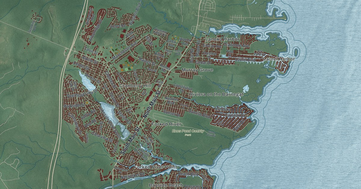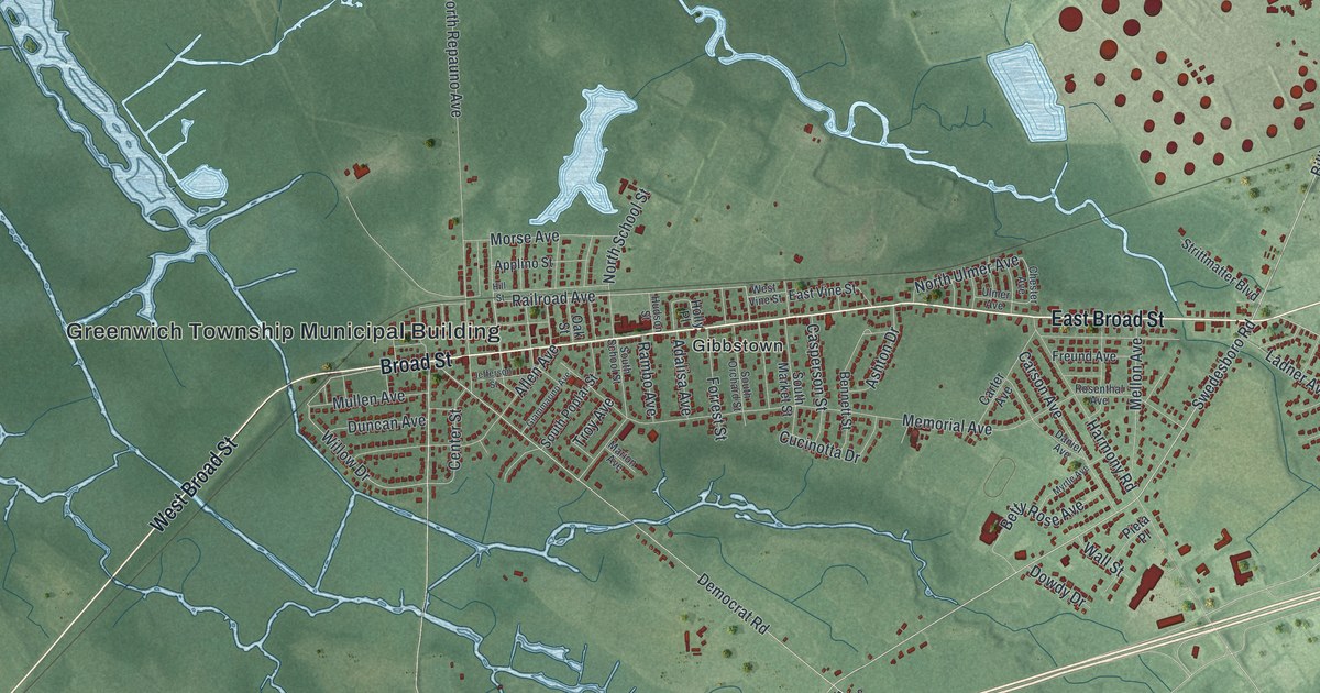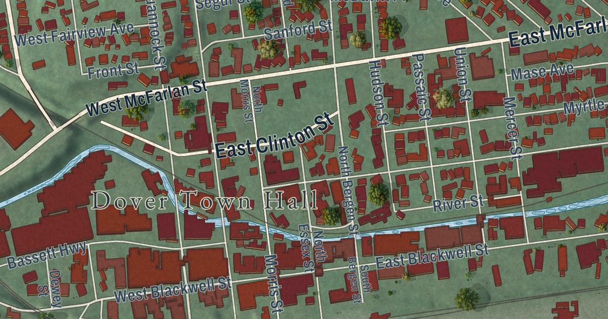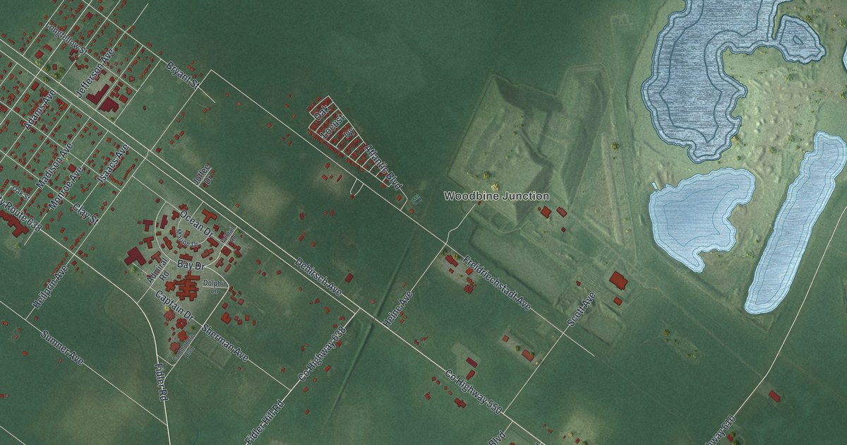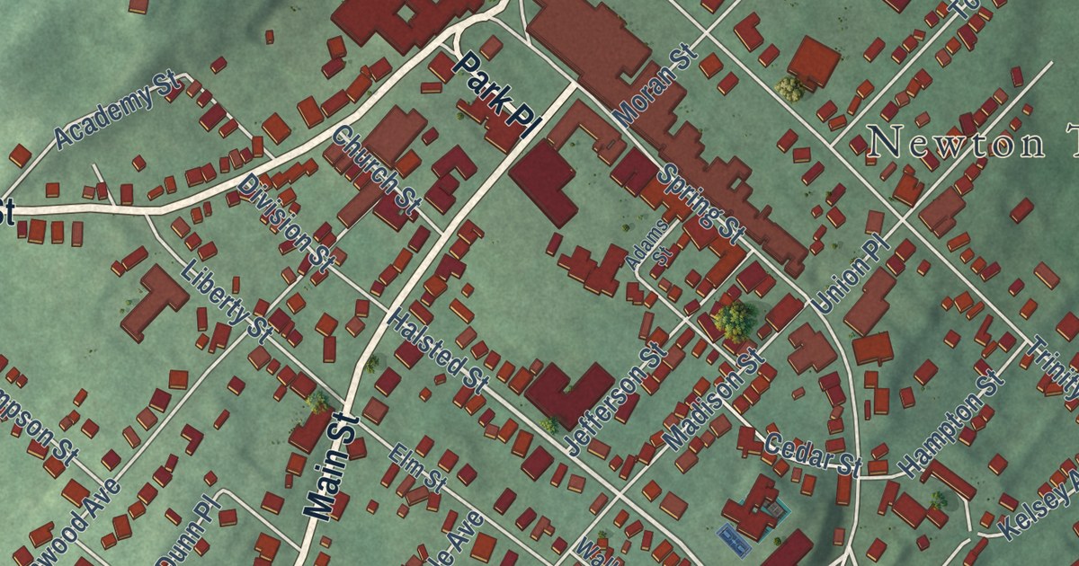
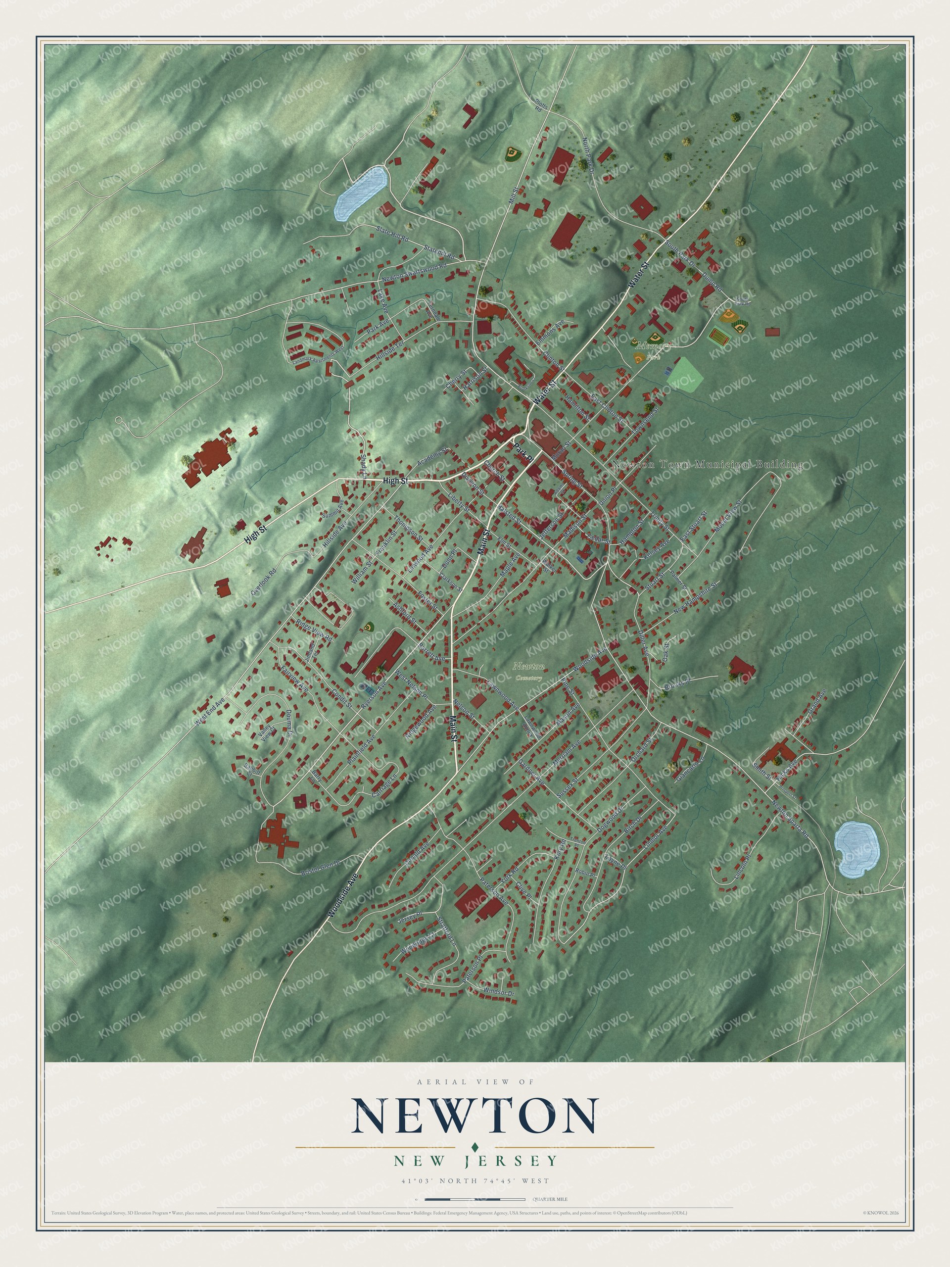
This beautifully detailed map of Newton, New Jersey was created in 2026 using aerial imagery combined with modern topographical, census, street and landmark data. It’s a one-of-a-kind view of Newton that combines accurate data with a vintage aesthetic. The map shows every building in its true location, many of the roads carry their names, and the shaded topographic relief shows the shape of the land.
Explore an aerial view of Newton, New Jersey
On the map you’ll find Newton Town Municipal Building and Memory Park, along with High Street, Main Street, Water Street, Woodside Avenue, and more. If you look closely you can even find your house accurately drawn in its correct location. Zoom in on the preview to look for yours.
Did You Know?
In 1762, Jonathan Hampton of Elizabethtown surveyed a site for a county courthouse and town green. The courthouse was finished in 1765, and the village around it was called Sussex Court House. Its post office became Newtown in 1797. The spelling changed to Newton in 1825.
Take a closer look at the Newton map
Names on this map
These names are printed on this map.
Places: Newton Town Municipal Building, Memory Park and Newton Cemetery.
Streets and roads: High Street, Main Street, Water Street, Woodside Avenue, Park Place, Spring Street, Ryerson Avenue, Shady Lane, Halsted Street, Mill Street, Linmor Avenue, Stratford Lane.
More street names, A to Z
Academy Street, Adams Street, Ashford Street, Babbitt Court, Barrett Avenue, Barry Lane, Birch Drive, Bristol Glen Drive, Brookside Court, Brooks Place, Carriage Lane, Cedar Street, Cherry Street, Church Street, Clarkson Street, Clinton Street, Clive Place, Condit Street, Diller Avenue, Division Street, Dogwood Drive, Donald Avenue, Douma Drive, Dump Road, Dunn Place, East Clinton Street, East Stuart Street, Elm Street, Emmons Avenue, Fairview Avenue, Ferndale Avenue, Foster Street, Franklin Street, Gardner Avenue, Giancarlo Lane, Grand Avenue, Hamilton Street, Hampton Street, Harrison Street, Hicks Avenue, Hillside Avenue, Hillside Terrace, Jefferson Street, Jersey Place, Jimland Terrace, Kelsey Avenue, Kory Road, Lake Avenue, Landmark Apartments West, Lawnwood Annex, Lawnwood Avenue, Layne Place, Liberty Street, Lincoln Place, Linwood Avenue, Madison Street, Maple Avenue, Mason Avenue, Merriam Avenue, Moran Street, Mount View Street, Nelson Street, New Hampshire Street, Newton Sparta Road, Newton Swartswood Road, North Park Drive, Oak Street, Orchard Street, Overlook Road, Palmer Street, Park Avenue, Paterson Avenue, Paterson Place, Pine Street, Plainfield Avenue, Plotts Road, Prospect Street, Ridge View Road, Ridgewood Avenue, Robin Place, Slate Hill Road, Smith Street, South Park Drive, South Park Road, Statehill Road, Stuart Street, Summit Avenue, Sussex Street, Thompson Street, Townsend Street, Trenton Place, Trinity Street, Union Place, Valley View Court, Walker Street, West End Avenue, West Nelson Place, William Street, Windsor Drive, Woodridge Court, York Road.
See it on a wall
The Newton map as an 18 x 24 inch print in a black frame.

This beautifully detailed map of Newton makes an attractive addition to your office, library, or den, and it can even be used to teach children the geography and history of the area. It also makes a great gift for someone who left Newton and still calls it home. When you’re done exploring, click here to get your copy of the Newton map.