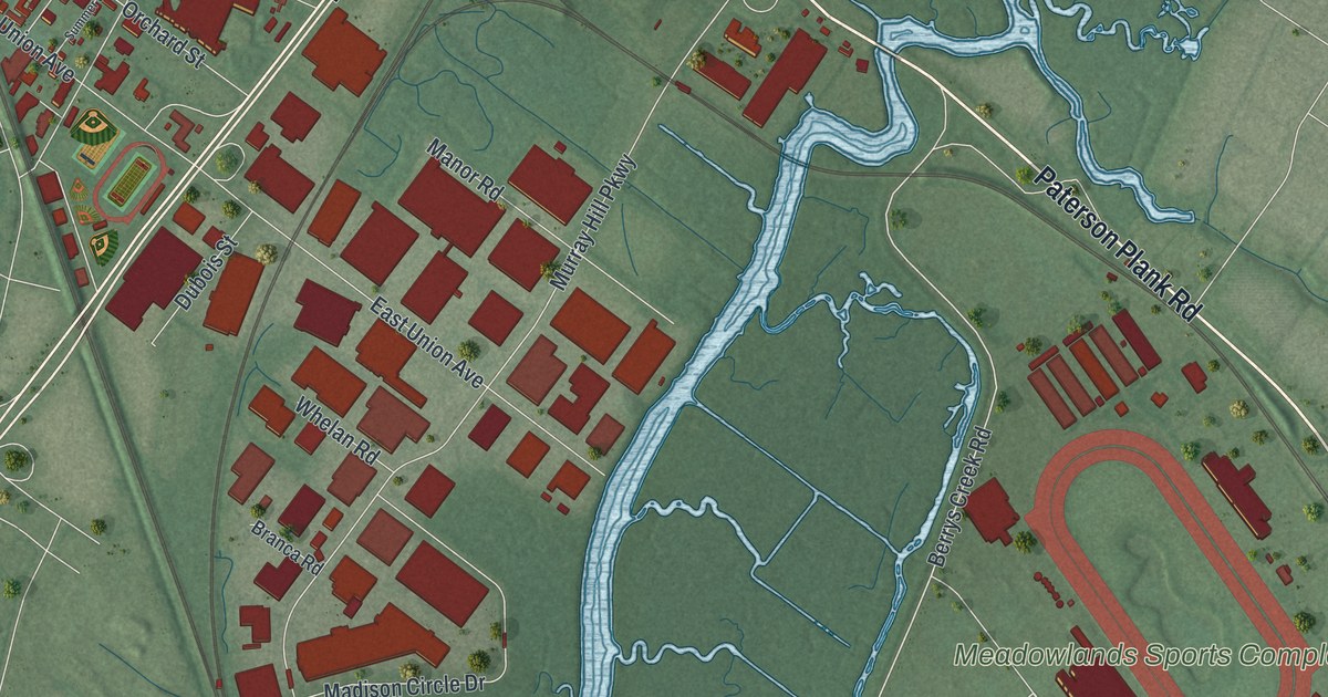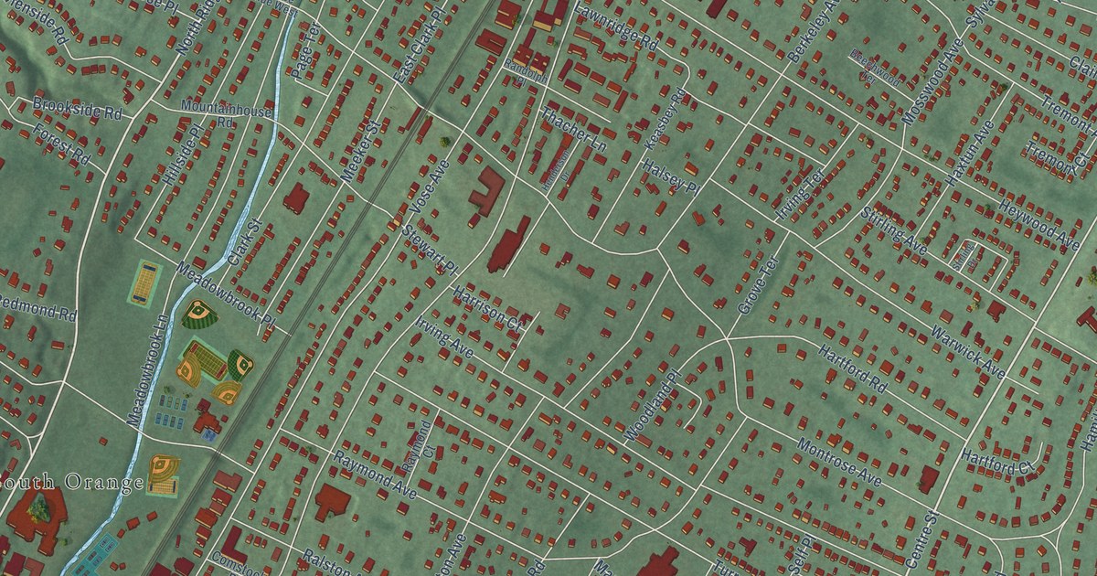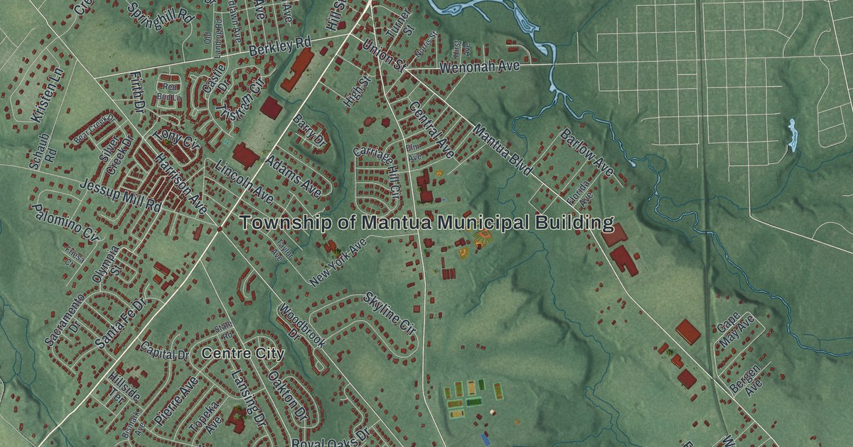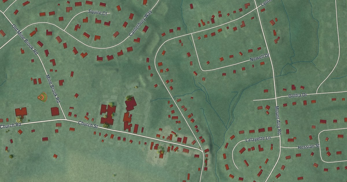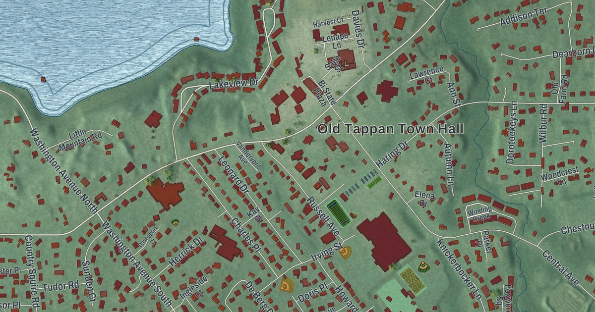
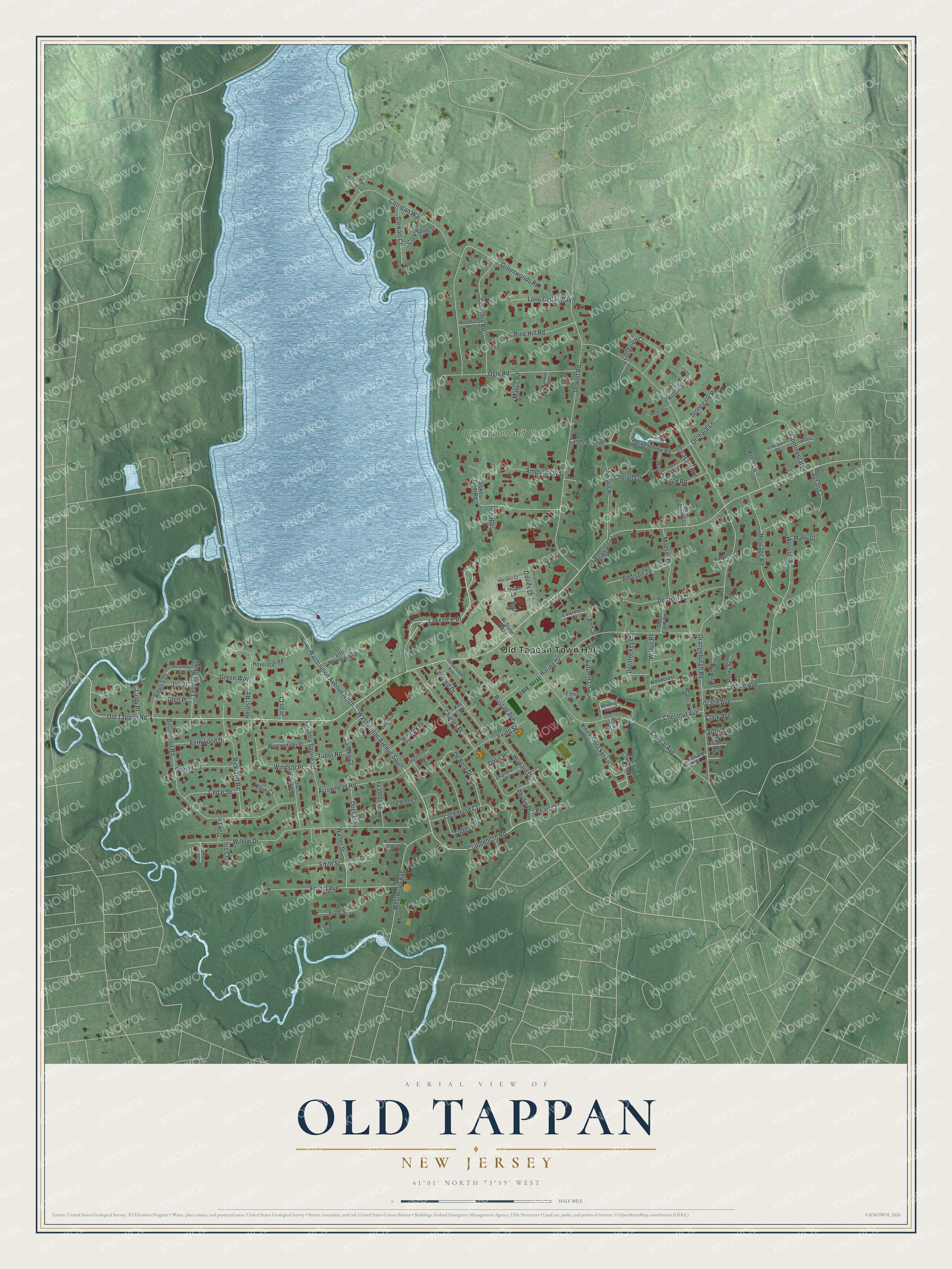
This beautifully detailed map of Old Tappan, New Jersey was created in 2026 using aerial imagery combined with modern topographical, census, street and landmark data. It’s a one-of-a-kind view of Old Tappan that combines accurate data with a vintage aesthetic. The map shows every building in its true location, many of the roads carry their names, and the shaded topographic relief shows the shape of the land.
Explore an aerial view of Old Tappan, New Jersey
On the map you’ll find Old Tappan Town Hall, along with Old Tappan Road, Washington Avenue, Lakeview Drive, Cripplebush Road, and more. If you look closely you can even find your house accurately drawn in its correct location. Zoom in on the preview to look for yours.
Did You Know?
Old Tappan takes its name from the Tappan, a Native American tribe. It became a borough on October 18, 1894, two days after a local vote. That year a wave called Boroughitis swept Bergen County, and 26 boroughs formed there in 1894 alone.
Take a closer look at the Old Tappan map
Names on this map
These names are printed on this map.
Places: Old Tappan Town Hall and Old Tappan Golf Club.
Streets and roads: Old Tappan Road, Washington Avenue North, Lakeview Drive, Washington Avenue South, Cripplebush Road, Orangeburgh Road, Birchwood Road, Central Avenue, Dewolf Road, Greenwoods Road, Charles Place, Haring Drive.
More street names, A to Z
Addison Terrace, Amelia Drive, Ampssler Way, Ann Street, Arrowhead Road, Autumn Lane, Bi State Plaza, Brown Street, Buckingham Place, Candlewood Drive, Cedar Drive, Charlotte Place, Cheryll Lane, Chestnut Avenue, Churchill Road, Clark Avenue, Clark Smith Drive, Continental Drive, Corrigan Way, Country Squire Road, Davenport Court, Davies Drive, Dearborn Drive, De Berg Drive, Deer Trail, Doris Place, Dorotockeys Lane, Edith Street, Elena Drive, Fairway Lane, Feather Lane, Fernwood Drive, Forest Avenue, Foxwood Square, Fred Street, Glen Place, Grace Avenue, Grant Avenue, Green Way, Harvest Court, Herbst Road, Heritage Road, Herrick Drive, Hidden Court, Hillcrest Court, Hoverman Road, Howard Drive, Ingleside Court, Innkeeper Road, Iris Court, Irving Street, Jay Street, Jean Court, Karyn Court, Kay Street, Klein Court, Knickerbocker Lane, Koch Lane, Kristin Place, Lachmund Court, Lawrence Court, Lenape Lane, Leonard Drive, Leoson Parkway, Lindy Place, Little Brook Road, Little Mountain Road, Lone Cedar Way, Longview Court, Manor Court, Manwarren Court, Maple Street, Mavus Road, Moeser Place, Newark Street, Oak Lane, Ogle Road, Old Crown Road, Old Farm Road, Orchard Lane, Parker Place, Pearl Court, Perry Street, Pheasant Run, Phyllis Drive, Pine Hill Road, Quail Run, Revere Court, Rickland Road, Robin Lane, Roseway Court, Russell Avenue, Sage Street, Sherwood Court, Snow Crest Court, Spring Hollow Road, Stewart Court, Stokes Farm Road, Stonegate Road, Sunden Court, Sunset Lane, Susan Court, Sycamore Court, Todd Lane, Tudor Road, Vandervoot Avenue, Veterans Way, Walter Street, Weidmann Court, Wescott Street, Westminster Place, Westwood Avenue, White Avenue, Wilbur Road, Williams Avenue, Willow Drive, Winding Creek, Windsor Place, Woodcrest Lane, Woodhill Road, Woods Edge Road, Zotti Avenue.
See it on a wall
The Old Tappan map as an 18 x 24 inch print in a black frame.

This beautifully detailed map of Old Tappan makes an attractive addition to your office, library, or den, and it can even be used to teach children the geography and history of the area. It also makes a great gift for someone who left Old Tappan and still calls it home. When you’re done exploring, click here to get your copy of the Old Tappan map.