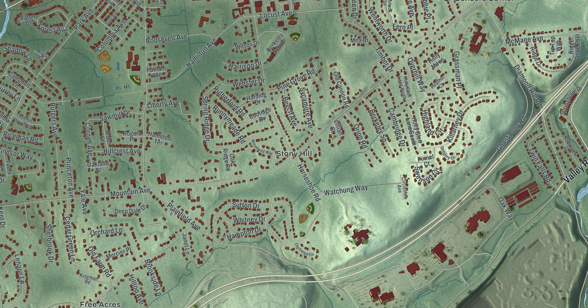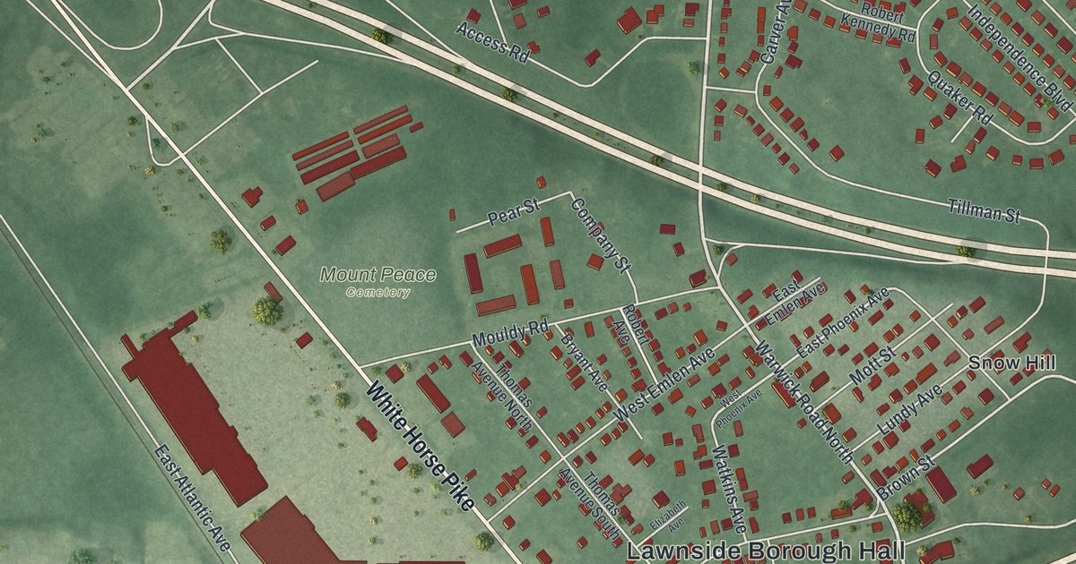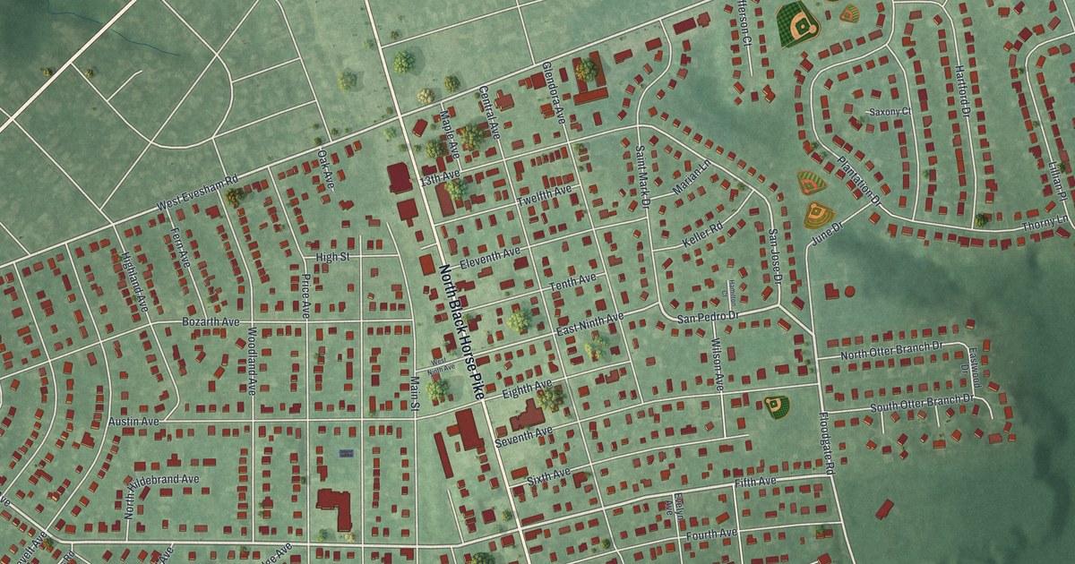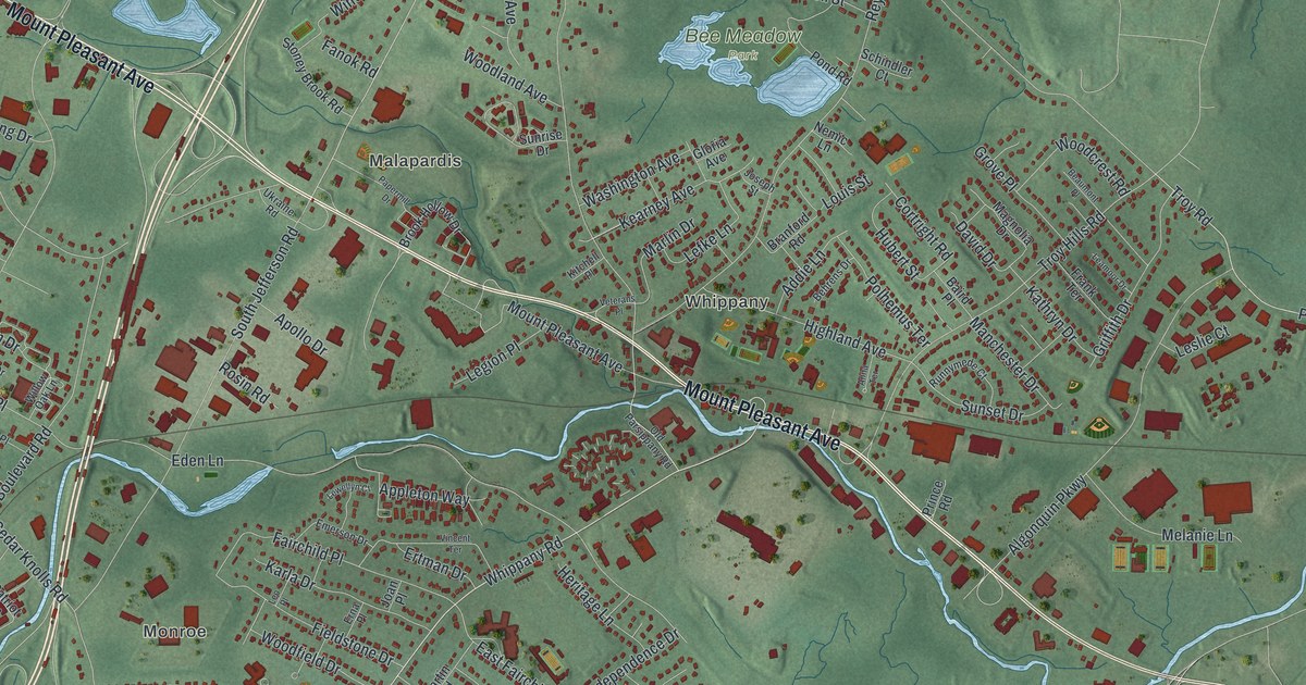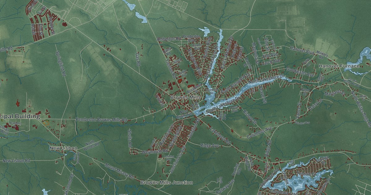
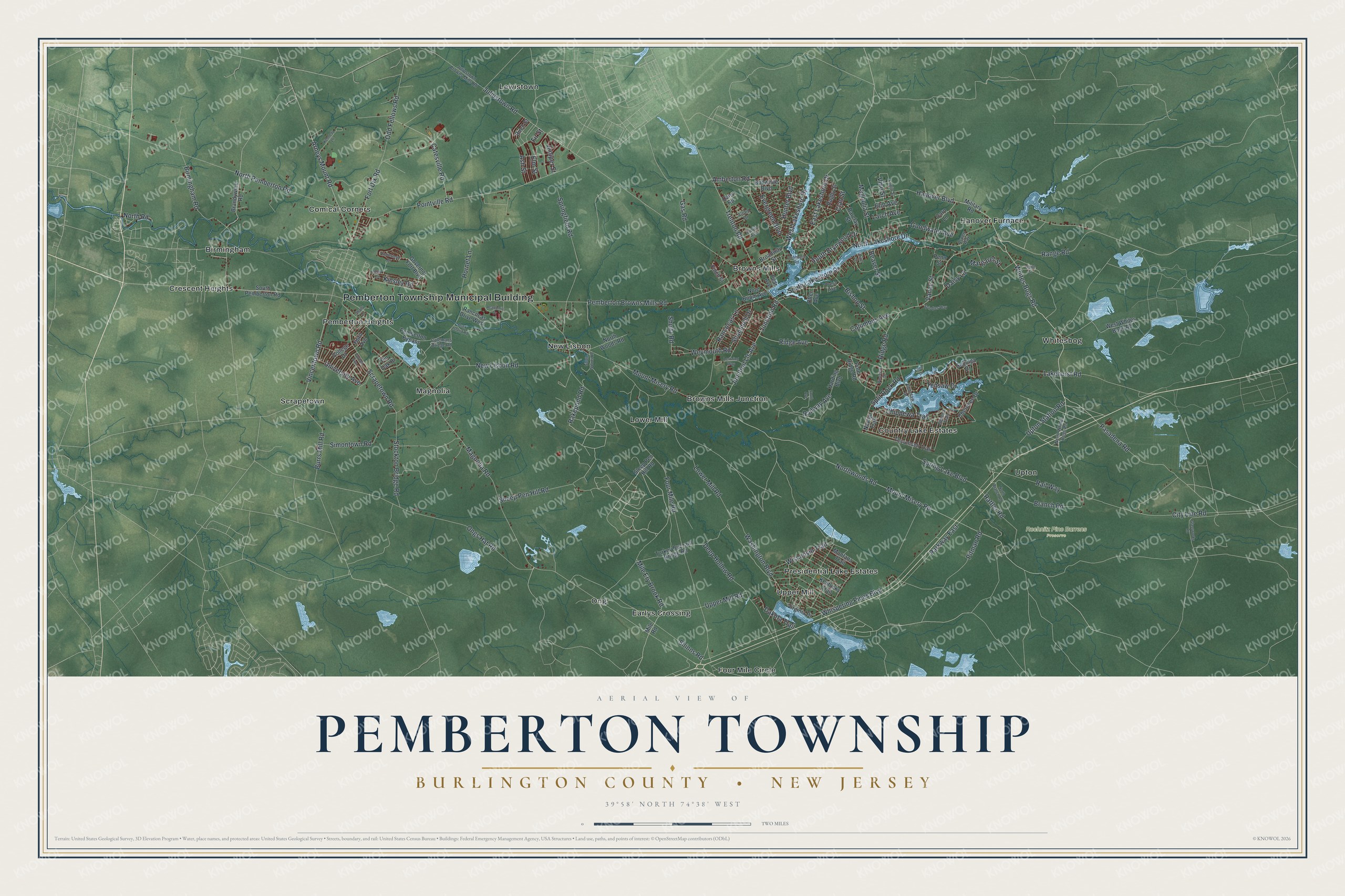
This beautifully detailed map of Pemberton, Burlington County, New Jersey was created in 2026 using aerial imagery combined with modern topographical, census, street and landmark data. It’s a one-of-a-kind view of Pemberton that combines accurate data with a vintage aesthetic. The map shows every building in its true location, many of the roads carry their names, and the shaded topographic relief shows the shape of the land.
Explore an aerial view of Pemberton, Burlington County, New Jersey
On the map you’ll find Pemberton Township Municipal Building, Birmingham, Browns Mills, Browns Mills Junction, Comical Corners, Crescent Heights, and Rechnitz Pine Barrens Preserve, along with Whites Bogs Road, Ridge Road, Juliustown Road, Lakeshore Drive, and more. If you look closely you can even find your house accurately drawn in its correct location. Zoom in on the preview to look for yours.
Did You Know?
Pemberton was a quiet old farm center with time-stained houses. The town largely escaped damage during the Revolution. It lay a few miles off the line of marches and raids along the old King’s Highway. Many fields nearby stayed with the same families for generations. That’s from the 1939 WPA guide to New Jersey.
Take a closer look at the Pemberton, Burlington County map
Names on this map
These names are printed on this map.
Places: Pemberton Township Municipal Building, Rechnitz Pine Barrens Preserve, Four Mile Circle, Hanover Furnace, Crescent Heights, Lewistown, Presidential Lake Estates, Browns Mills, Magnolia, Comical Corners, Browns Mills Junction, Whitesbog, Country Lake Estates, Scrapetown, Lower Mill, Ong, Pemberton Heights, Birmingham, Upton, Upper Mill, Earlys Crossing and New Lisbon.
Streets and roads: Whites Bogs Road, Ridge Road, Lower Mill Road, North Lakeshore Drive, Rakepond Road, Pemberton Browns Mills Road, City Line Road, Elm Avenue, Clan Street, Magnolia Road, Lakehurst Road, Four Mile Road.
More street names, A to Z
Acadamic Drive, Alfred Drive, Amberton Road, Arneys Mount Road, Ash Street, Aspen Way, Barclay Street, Beaver Street, Birch Street, Birmingham Road, Bishop Street, Bobwhite Boulevard, Branch Road, Brandywine Road, Broadway Street, Burrs Mill Road, Carp Lane, Catesville Road, Cherokee Drive, Chippewa Trail, Choctaw Drive, Clubhouse Road, Colemans Bridge Road, College Drive, Columbus Avenue, Cornell Avenue, Daisy Lane, Dakota Trail, Dans Road, Deep Hollow Road, Delap Court, Duck Island Road, Earlin Avenue, East Lakeshore Drive, Ellen Drive, Elm Street, Evergreen Boulevard, Finch Street, Fir Street, Fort Dix Road, Gas Road, Glassworks Road, Goodwater Avenue, Governor Fort Boulevard, Hanover Boulevard, Harding Boulevard, Homestead Drive, Hornet Lane, Hunter Boulevard, Juliustown Browns Mills Road, Juliustown Road, Junction Lls Avenue, Junction Road, Juniper Street, Kennedy Lane, Kentucky Trail, Kinsley Road, Larch Avenue, Learning Way, Lupin Street, Magnolia Street, Margaret Street, Mile Ery Brook Road, Mile Road, Military Road, Montana Trail, Mount Misery Road, Navajo Trail, New Lisbon Road, North Branch Road, North Pemberton Road, North Road, North Whites Bogs Road, Northwoods Road, North Woods Road, Note Boom Avenue, Odd Fellows Road, Ongs Hat Road, Otter Avenue, Parkway East, Pasadena Road, Pear Avenue, Pemberton Bypass, Penn Street, Pineview Drive, Pin Oak Drive, Pitman Road, Pointville Road, Pole Ridge Road, Press Avenue, Rail Way, Railway Avenue, Rancocas Drive West, Rancocas Lane, Range Road, Rattler Road, Ridge Avenue, River Street, Rugby Street, Scammell Drive, Scrapetown Road, Seneca Trail, Sepulga Drive, Shady Lane, Sheep Pen Hill Road, Shinns Road, Shultz Road, Simontown Road, Sleep Pen Hill Road, South Avenue, South Brynwood Drive, South Lakeshore Drive, South Pemberton Road, South Woods Road, Spindles Way, Split Rock Road, Springfield Road, Spring Lake Boulevard, Stockton Bridge Road, Tecumseh Trail, Tensaw Drive, Third Avenue, Trenton Road, Turkey Buzzard Bridge Road, University Avenue, Upper Mill Road, Upton Station Road, Vance Street, Vincentown Road, Vine Street, Virginia Drive, Washington Boulevard, West Lakeshore Drive, West Whites Bogs Road, Weymouth Road, Whispering Pines Boulevard, White Street, Wisconsin Trail.
See it on a wall
The Pemberton Township, Burlington County map as an 18 x 24 inch print in a black frame.

This beautifully detailed map of Pemberton, Burlington County makes an attractive addition to your office, library, or den, and it can even be used to teach children the geography and history of the area. It also makes a great gift for anyone who grew up in Pemberton or moved away. When you’re done exploring, click here to get your copy of the Pemberton, Burlington County map.