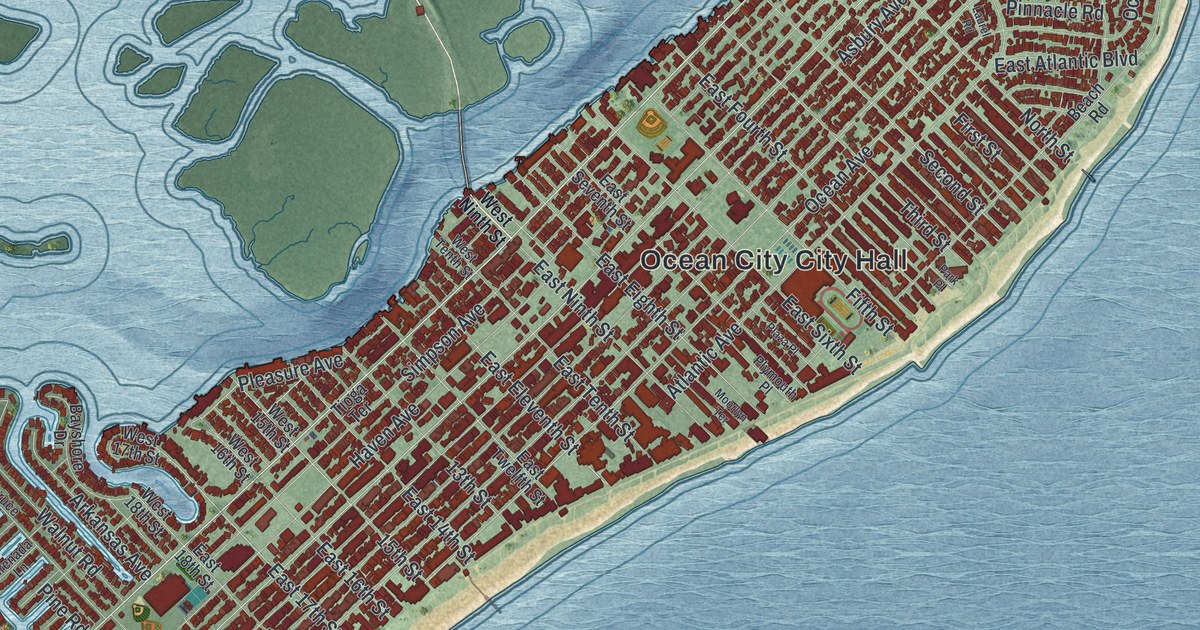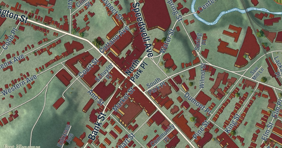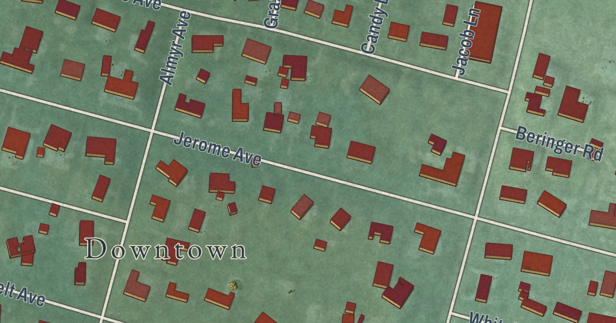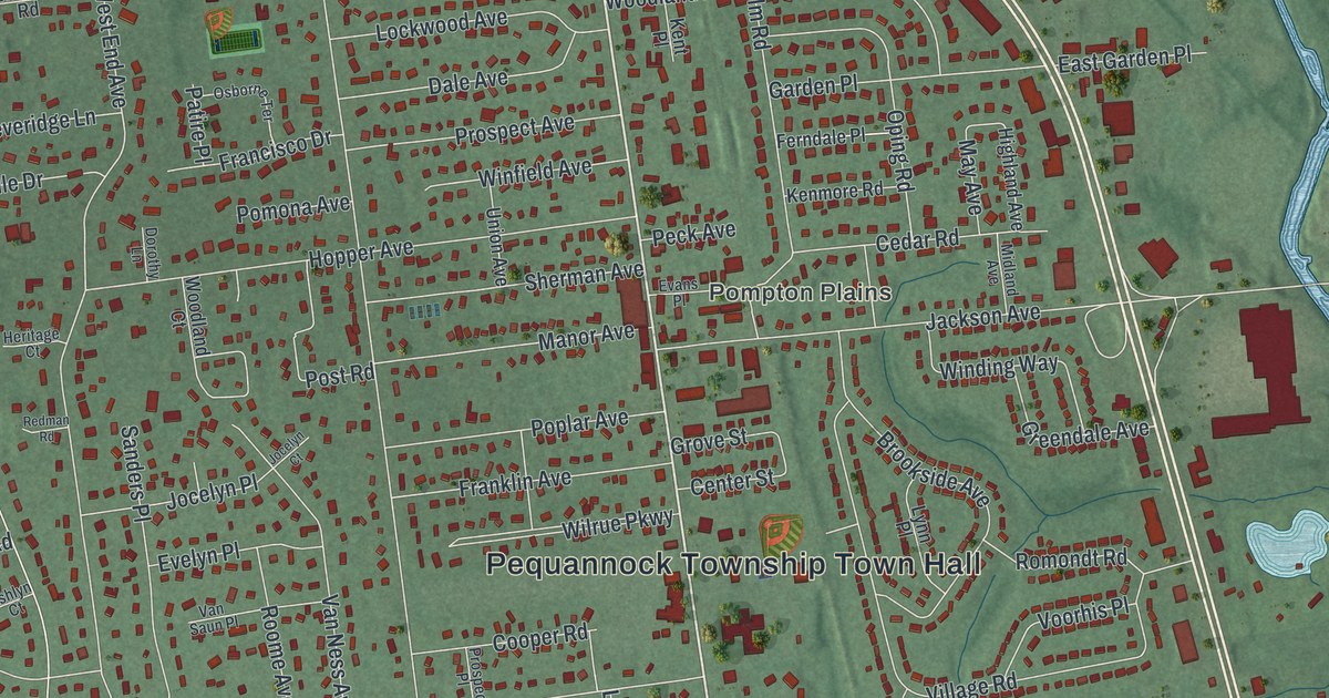
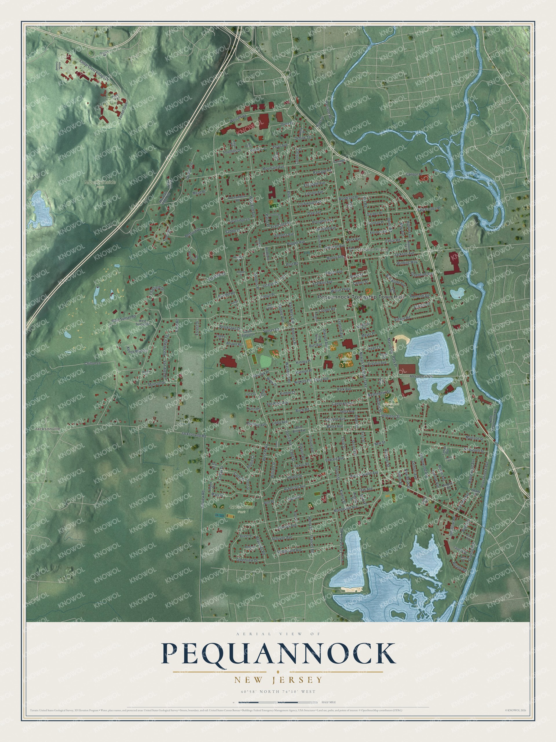
This beautifully detailed map of Pequannock, New Jersey was created in 2026 using aerial imagery combined with modern topographical, census, street and landmark data. It’s a one-of-a-kind view of Pequannock that combines accurate data with a vintage aesthetic. The map shows every building in its true location, many of the roads carry their names, and the shaded topographic relief shows the shape of the land.
Explore an aerial view of Pequannock, New Jersey
On the map you’ll find Pequannock Township Town Hall, Jacksonville, Pompton Plains, Greenview Park, Hillview Park, Mountainside Park, and Washington Park, along with Newark Pompton Turnpike, Lincoln Park Road, Ackerson Avenue, West Parkway, and more. If you look closely you can even find your house accurately drawn in its correct location. Zoom in on the preview to look for yours.
Did You Know?
Pequannock was a stop on the Underground Railroad during the Civil War. The Giles Mandeville House from that era, built in 1788, still stands today. Since 1953 it has served as the manse of the First Reformed Church next door.
Take a closer look at the Pequannock map
Names on this map
These names are printed on this map.
Places: Pequannock Township Town Hall, Jacksonville, Pompton Plains, Greenview Park, Hillview Park, Mountainside Park and Washington Park.
Streets and roads: Newark Pompton Turnpike, Lincoln Park Road, Ackerson Avenue, West Parkway, Boulevard, Sunset Road, Jacksonville Road, Mountain Avenue, West End Avenue, Village Road, Hillview Road, Cedar Crest Village Drive.
More street names, A to Z
Abbey Lane, Adams Street, Albert Street, Alexander Avenue, Andrews Place, Ann Place, Arnold Court, Arundel Road, Ashlyn Court, Atwood Avenue, Augusta Street, Banta Avenue, Barnard Place, Baxter Place, Bedford Drive, Beech Street, Benjamin Place, Berry Place, Beverly Road, Birch Road, Brian Court, Brooklawn Drive, Brookside Avenue, Burnham Drive, Burt Avenue, Cameron Avenue, Carlson Place, Caroline Avenue, Carol Place, Carriage Court, Cedar Road, Center Street, Chalen Court, Chatfield Drive, Chilton Lane, Circle Avenue, Colfax Drive, Colonial Terrace, Cooper Road, Copley Court, Cotluss Road, Cross Street, Dale Avenue, Daria Drive, Davis Avenue, De Bow Lane, Debow Terrace, Della Avenue, Demott Avenue, Dorothy Lane, Dube Court, Duncan Avenue, Dunn Place, East Garden Place, Edward Avenue, Elizabeth Avenue, Elm Road, Evans Place, Evelyn Place, Fairview Avenue, Farm Road, Ferndale Place, First Street, Foothills Drive, Forest Drive, Forest Glen, Fourth Street, Frances Road, Francisco Drive, Franklin Avenue, Garden Place, Garrow Avenue, Greendale Avenue, Greenview Drive, Greenwood Avenue, Grove Street, Harmon Place, Harrison Road, Hearle Drive, Henry Street, Heritage Court, Hickory Road, Highland Avenue, Hill Court, Hillside Crossing, Hilton Street, Hopper Avenue, Industrial Road, Irving Street, Jackson Avenue, Jefferson Street, Jocelyn Court, Jocelyn Place, John Street, Kamm Street, Keech Briar Lane, Kenmore Road, Kent Place, Kimble Court, Kinney Place, Ladd Street, Laurel Avenue, Leeland Avenue, Lennox Road, Leveridge Lane, Libby Avenue, Lincoln Avenue, Lockwood Avenue, Lucy Court, Lyman Avenue, Lynn Place, Madison Street, Mandeville Avenue, Manor Avenue, Maplewood Avenue, Marlin Avenue, Marvin Road, Mary Place, May Avenue, Mead Place, Meyer Place, Midland Avenue, Mountain Ridge Avenue, Mountain Ridge Road, Munson Drive, New Read Street, New Street, Nichols Road, North Pequannock Avenue, Oak Avenue, Oping Road, Orchard Road, Osborne Terrace, Park Avenue, Park Place, Park Vw, Patire Place, Payson Road, Pearl Avenue, Peck Avenue, Pequannock Avenue, Phyllis Court, Pomona Avenue, Poplar Avenue, Post Road, Prospect Avenue, Prospect Place, Ramapo Road, Redman Road, Reynolds Road, Richards Street, Ridge Road, River Drive, Riverside Drive, Robert Place, Rochambeau Road, Rockledge Terrace, Roland Road, Romondt Road, Roome Avenue, Roosevelt Street, Ryan Lane, Ryerson Avenue, Ryerson Road, Saddle Drive, Sanders Place, Schelling Terrace, Schuyler Avenue, Second Street, Shady Street, Sherman Avenue, Slingerland Avenue, South Sunset Lane, Star Court, Stuhr Place, Terhune Avenue, Third Street, Tilley Avenue, Tudor Drive, Tunis Place, Union Avenue, Van Alen Place, Van Dyk Place, Van Ness Avenue, Van Riper Avenue, Van Saun Place, Virginia Avenue, Voorhis Place, Walnut Avenue, Washburn Road, Washington Street, Wendover Drive, West Franklin Avenue, West Sunset Drive, West Sunset Road, Whipple Road, White Birch Avenue, William Street, Willow Avenue, Wilrue Parkway, Winding Way, Winfield Avenue, Woodland Court, Woodland Place, Wren Place.
See it on a wall
The Pequannock map as an 18 x 24 inch print in a black frame.

This beautifully detailed map of Pequannock makes an attractive addition to your office, library, or den, and it can even be used to teach children the geography and history of the area. It also makes a great gift for anyone with Pequannock roots. When you’re done exploring, click here to get your copy of the Pequannock map.