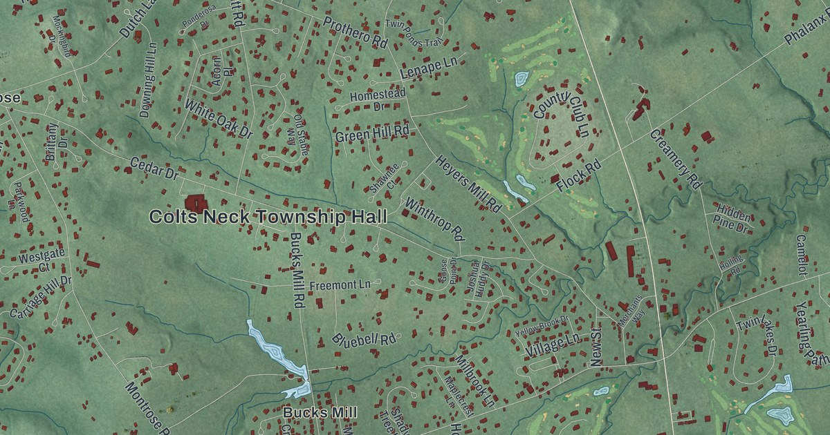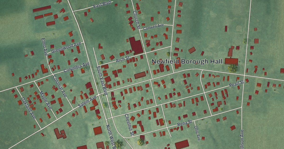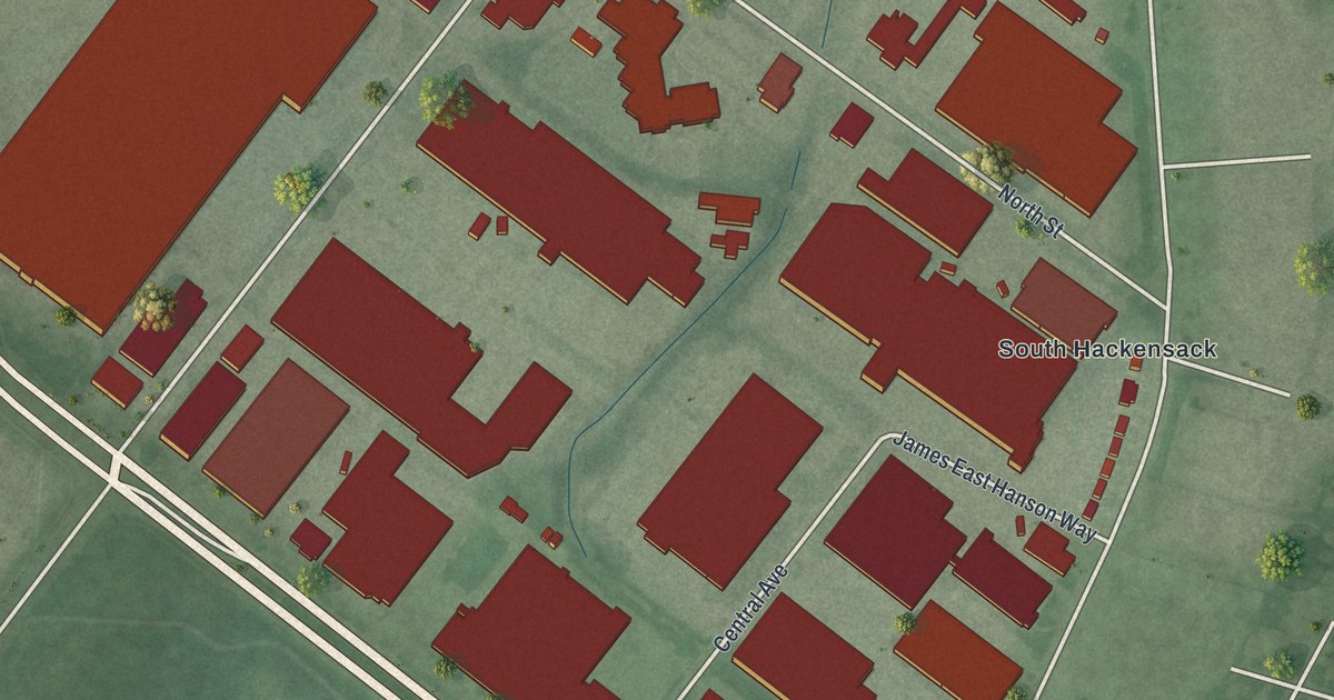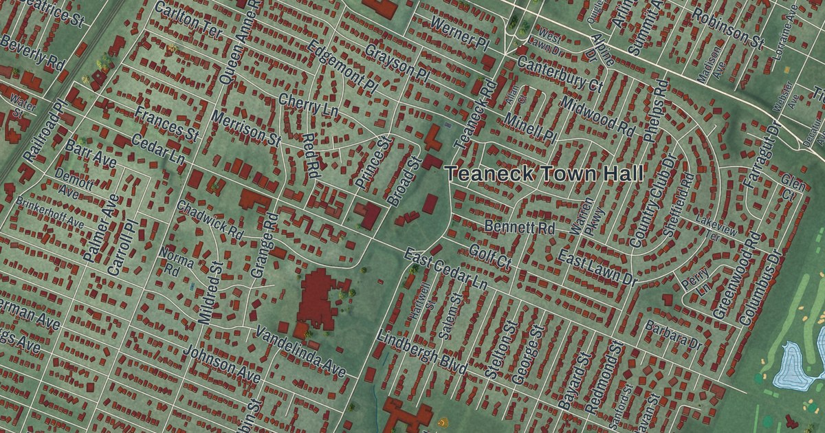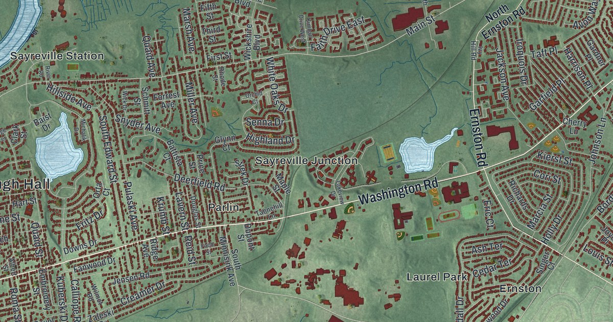
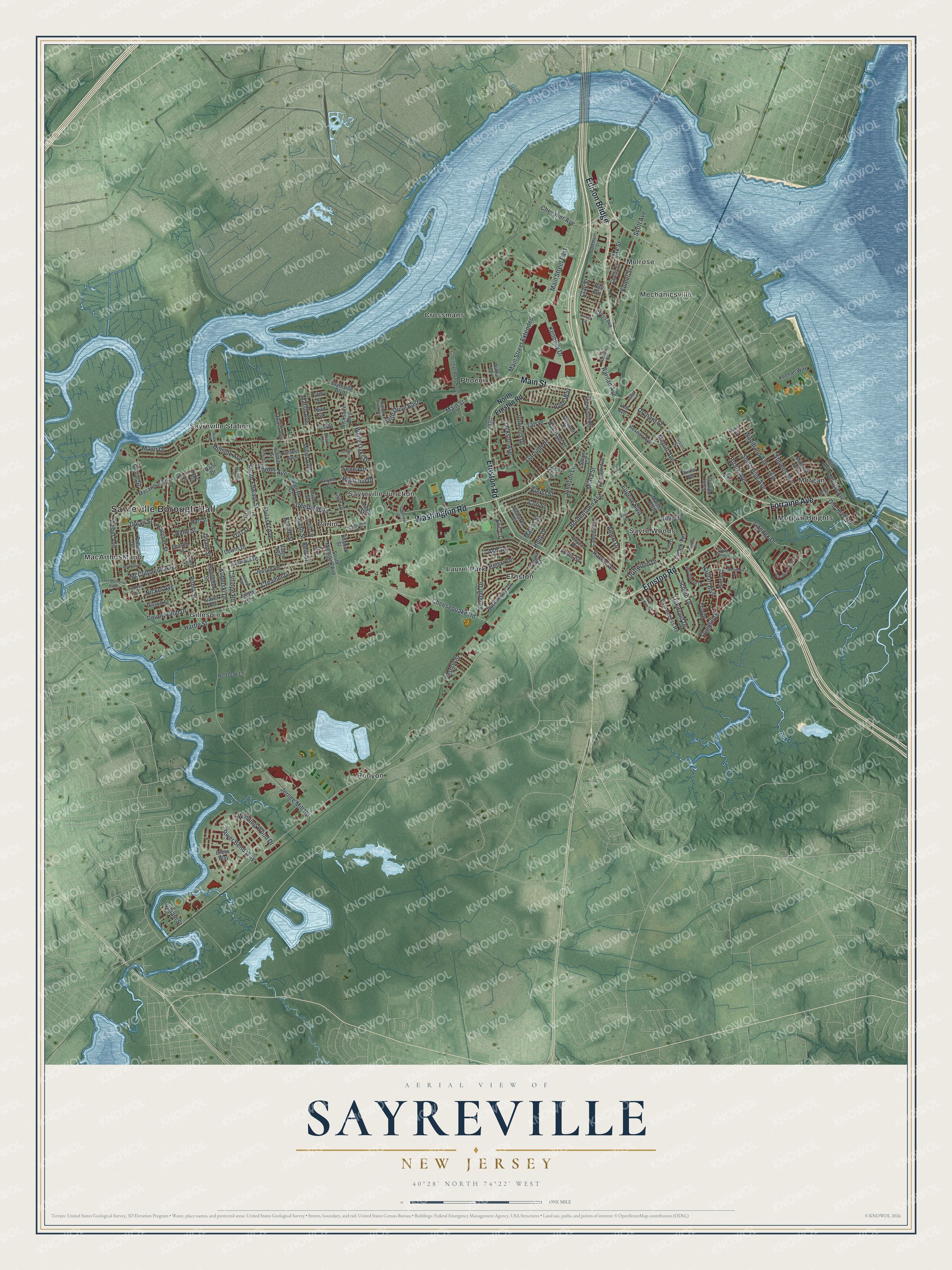
This beautifully detailed map of Sayreville, New Jersey was created in 2026 using aerial imagery combined with modern topographical, census, street and landmark data. It’s a one-of-a-kind view of Sayreville that combines accurate data with a vintage aesthetic. The map shows every building in its true location, many of the roads carry their names, and the shaded topographic relief shows the shape of the land.
Explore an aerial view of Sayreville, New Jersey
On the map you’ll find Sayreville Borough Hall, Edison Bridge, Crossmans, Ernston, Gillespie, Laurel Park, and Mechanicsville, along with Washington Road, Lorraine Avenue, Ernston Road, and more. If you look closely you can even find your house accurately drawn in its correct location. Zoom in on the preview to look for yours.
Did You Know?
Sayreville was first called Roundabout, after the bends in the river nearby. It later became Wood’s Landing. In the 1860s it took the name of James R. Sayre Jr. of Newark. He had started the Sayre and Fisher Brick Company with Peter Fisher in the 1850s.
Take a closer look at the Sayreville map
Names on this map
These names are printed on this map.
Places: Sayreville Borough Hall, Crossmans, Ernston, Gillespie, Laurel Park, MacArthur Manor, Mechanicsville, Melrose, Morgan, Morgan Heights, Parlin, Phoenix, Runyon, Sayre Woods, Sayreville Junction and Sayreville Station.
Streets and roads: Washington Road, Lorraine Avenue, Ernston Road, Edison Bridge, Main Street, South Pine Avenue, Cheesequake Road, Calliope Road, Overhill Drive, Harrison Place, Bordentown Avenue, Jernee Mill Road.
More street names, A to Z
Albert Drive, Albert Street, Anne Terrace, Ash Terrace, Avon Way, Baist Drive, Battista Court, Bissett Street, Brook Avenue, Buttonwood Drive, Campbell Drive, Canal Street, Cedar Terrace, Cherry Lane, Chevalier Avenue, Church Street, Clark Street, Clay Street, Cliff Avenue, Coleman Street, Colony Club Drive, Cori Street, Creamer Drive, Cross Avenue, Crossman Road North, Cross Way, Dane Street, Deerfield Road, Division Street, Dolan Street, Douglas Street, Downs Drive, Driftwood Drive, Dupont Street, East Access Road, Embroidery Street, Eric Court, Eugene Boulevard, Eulner Street, Faith Drive East, Fanwood Drive, Fela Drive, Fielek Terrace, Fifth Street, First Street, Foch Street, Forrest Avenue, Fritz Drive, Furman Avenue, Gardner Place, Garfield Place, Gavel Road, Giera Court, Gillen Drive, Glynn Court, Gondek Drive, Hartle Street, Hart Street, Haven Terrace, Highland Drive, Hillside Avenue, Hilltop Avenue, Holly Drive, Iroquois Drive, Ivy Hill Road, Jackson Avenue, James Street, Jensen Road, Johnson Lane, Joyce Place, Karcher Street, Kath Street, Keenan Way, Kendall Drive, Kennedy Drive, Kenneth Avenue, Kierst Street, Kimball Drive West, Krumb Street, Kuberski Drive, Lakeview Drive, Latham Circle, Laurel Street, Lavern Street, Lee Avenue, Louis Street, Luke Street, Macarthur Avenue, Main Street East, Main Street Extended, Major Drive, Manor Street, Maple Street, Marcia Street, Marshall Place, Marsh Avenue, Martha Boulevard, McCutcheon Avenue, Merritt Avenue, Miara Street, Michalik Drive, Midland Avenue, Miller Avenue, Morgan Avenue, Nathan Boulevard, Nickel Avenue, North Ernston Road, Oak Street, Oakwood Drive, Old Spye Road, Orchard Street, Orchid Court, Orta Court, Paige Terrace, Paprota Court, Patton Drive, Pillar Drive, Pointe of Woods Drive, Price Street, Prusakowski Boulevard, Pulaski Avenue, Quaid Avenue, Quaid Street, Raritan Avenue, Raritan Street, Red Oak Lane, Reid Street, Reseau Avenue, Rhode Street, Richards Drive, Ridge Avenue, River Bend Way, River Road, Roll Avenue, Roma Street, Rota Drive, Saint Peter Drive, Sayreville Boulevard, Scheid Drive, Schmitt Street, Scott Avenue, Senna Drive, Sherwood Road, Singer Court, Snyder Avenue, South Edward Street, South Minnisink Avenue, Stevens Avenue, Strek Drive, Taft Place, Tannehill Lane, Third Street, Tyler Street, Vernon Street, Vet Memorial Bridge, Weber Avenue, West Access Road, White Oaks Drive, Wick Drive, Wickshire Boulevard, Wilbur Terrace, William Street, Wilmot Road, Winding Wood Drive, Woodlake Drive, Woodland Avenue, Woodmere Drive, Zaleski Drive.
See it on a wall
The Sayreville map as an 18 x 24 inch print in a black frame.

This beautifully detailed map of Sayreville makes an attractive addition to your office, library, or den, and it can even be used to teach children the geography and history of the area. It also makes a great gift for anyone who grew up in Sayreville or moved away. When you’re done exploring, click here to get your copy of the Sayreville map.