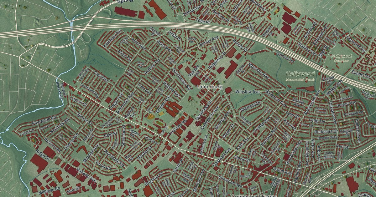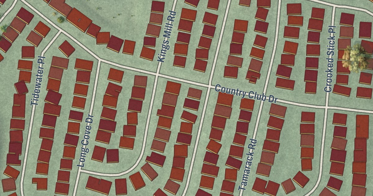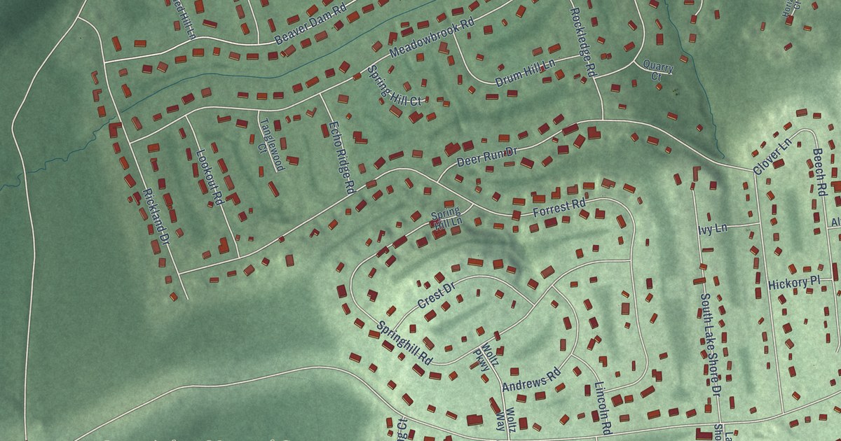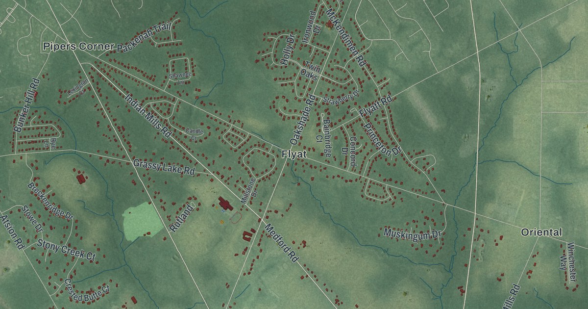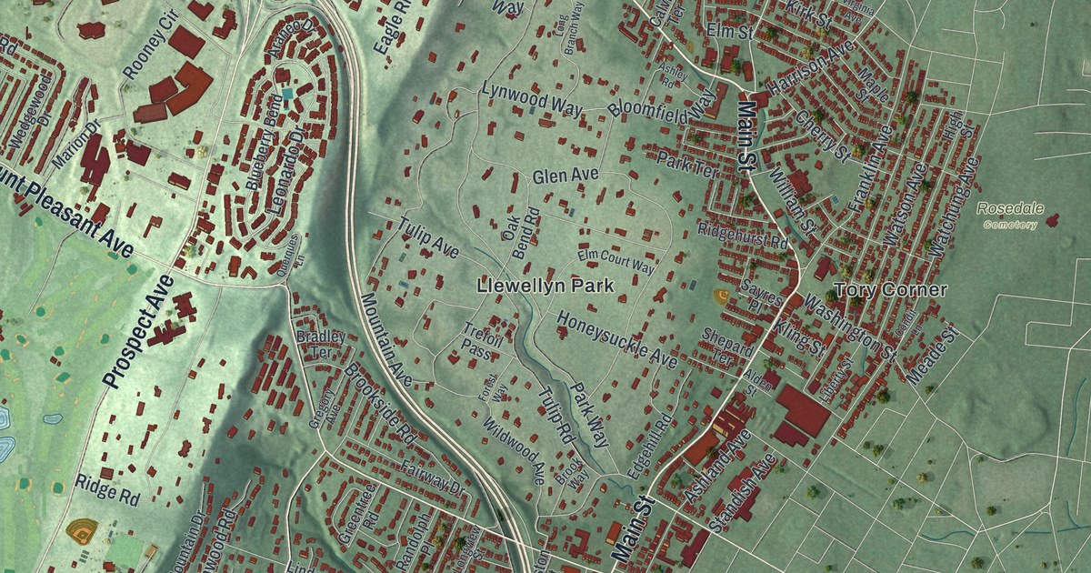
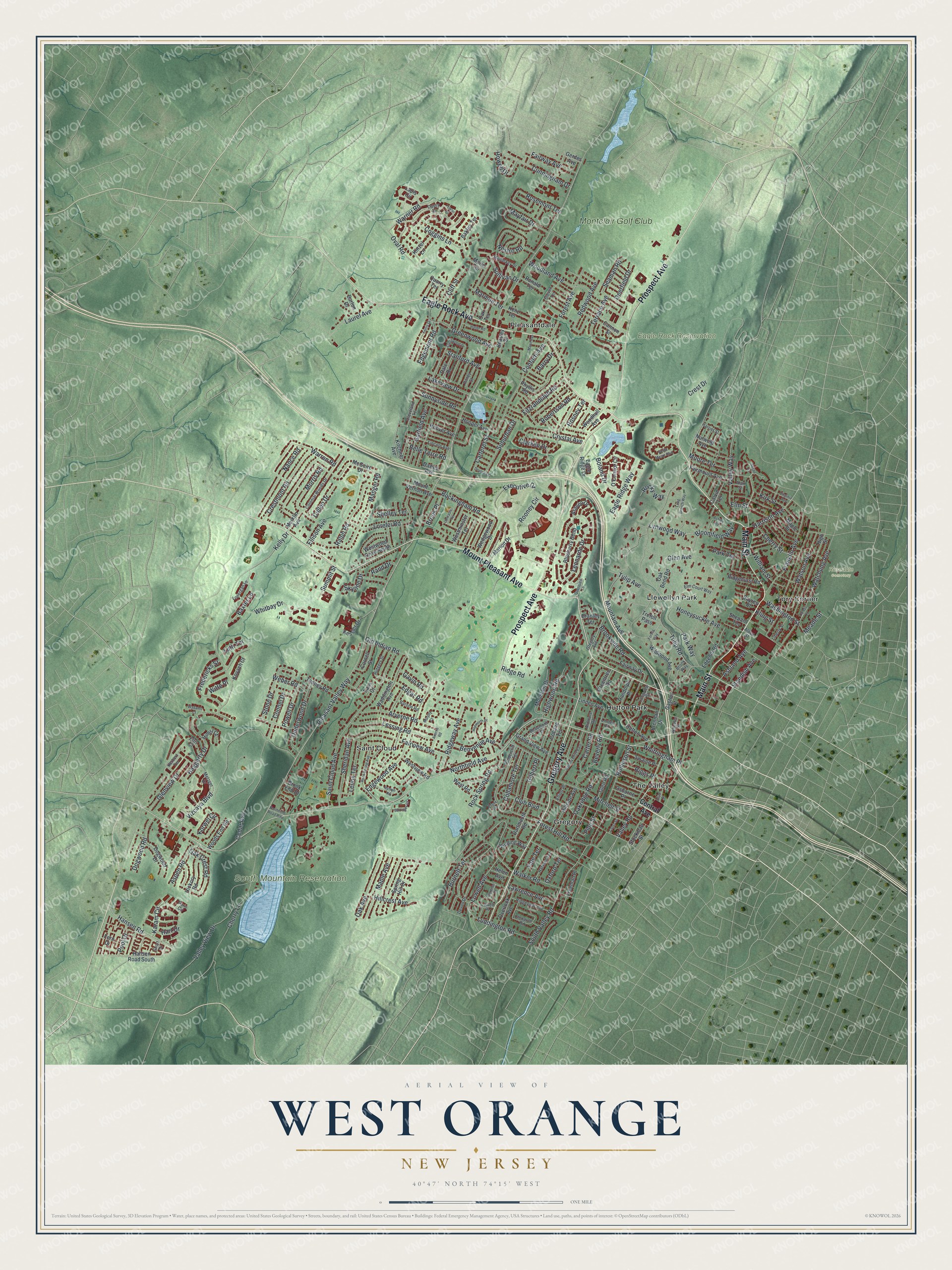
This beautifully detailed map of West Orange, New Jersey was created in 2026 using aerial imagery combined with modern topographical, census, street and landmark data. It’s a one-of-a-kind view of West Orange that combines accurate data with a vintage aesthetic. The map shows every building in its true location, many of the roads carry their names, and the shaded topographic relief shows the shape of the land.
Explore an aerial view of West Orange, New Jersey
On the map you’ll find Gregory, Hutton Park, Llewellyn Park, Pleasantdale, Saint Cloud, and Rosedale Cemetery, along with Eagle Rock Avenue, Main Street, Gregory Avenue, Prospect Avenue, Mount Pleasant Avenue, and more. If you look closely you can even find your house accurately drawn in its correct location. Zoom in on the preview to look for yours.
Did You Know?
Tory Corner on Main Street was once called Williamstown, for the brothers Nathaniel and Benjamin Williams. Nathaniel was a Loyalist. In 1777 he and his two oldest sons, James and Amos, left to serve the British. His wife Mary kept the farm and gave freely to Washington’s soldiers. Only James came home, decades later.
Take a closer look at the West Orange map
Names on this map
These names are printed on this map.
Places: Eagle Rock Reservation, Rosedale Cemetery, South Mountain Reservation, Gregory, Hutton Park, Llewellyn Park, Pleasantdale, Saint Cloud, The Valley, Tory Corner and Montclair Golf Club.
Streets and roads: Eagle Rock Avenue, Main Street, Gregory Avenue, Prospect Avenue, Mount Pleasant Avenue, Northfield Avenue, Valley Road, Harrison Avenue, Pleasant Valley Way, Hansen Road, Cedar Avenue, Mountain Avenue.
More street names, A to Z
Alan Street, Alden Street, Araneo Drive, Ardmore Road, Arverne Road, Ashland Avenue, Ashley Road, Aspen Road, Averne Road, Bakley Terrace, Barone Road, Barringer Court, Barry Drive, Barton Drive, Baxter Lane, Beasley Street, Beaumont Terrace, Belle Terre Road, Benvenue Avenue, Beverly Road, Bloomfield Way, Blueberry Bend, Boland Drive, Bradley Terrace, Brennan Drive, Brook End Drive, Brook Place, Brookside Road, Brook Way, Buckingham Road, Burnett Terrace, Calvin Terrace, Cannon Street, Carteret Street, Carter Road, Central Avenue, Cherry Lane, Cherry Street, Clarken Drive, Cleveland Terrace, Cliff Street, Clonavor Road, Club Boulevard, Cobane Terrace, Coggins Lane, Collamore Terrace, Colonial Woods Drive, Colony Drive East, Condit Lane, Conforti Avenue, Connel Drive, Cornell Street, Crest Drive, Crestmont Road, Crestwood Drive, Cross Street, Crystal Avenue, Cullen Drive, Cunningham Drive, Dale Drive, Dartmouth Road, Davey Drive, Dawes Avenue, Dean Street, Deerfield Drive, Devon Drive, Devore Drive, Dogwood Drive, Dogwood Road, Eagle Ridge Drive, Eagle Ridge Way, Edgar Road, Edgehill Road, Edgemont Road, Edgewood Avenue, Eftis Court, Elliott Place, Ellison Avenue, Elm Court Way, Elm Street, Essex Terrace, Executive Drive, Faas Court, Fairmount Avenue, Fairview Avenue, Fairway Avenue, Fairway Drive, Fern Drive, Ferris Drive, Fitzrandolph Road, Florence Place, Forest Avenue, Forest Hill Road, Forest Way, Fowler Drive, Franklin Avenue, Fredericks Street, Freeman Place, Garfield Avenue, Gaston Street, Gavin Road, Gerdes Avenue, Gilbert Place, Glen Avenue, Glen Road, Glenview Drive, Grand View Avenue, Greentree Road, Greenwood Avenue, Haggerty Drive, Haller Road, Hansen Road South, Harriet Street, Hart Drive, Harvard Terrace, Helen Avenue, Hepworth Place, Herbert Terrace, Hickory Road, High Street, Highwood Road, Hillcrest Avenue, Hillside Avenue, Himsl Court, Honeysuckle Avenue, Hooper Avenue, Hoover Avenue, Howell Drive, Hutton Avenue, Karam Circle, Kelly Drive, Kenz Terrace, Kessler Drive, Kinzel Lane, Kirk Street, Kitchner Avenue, Kling Street, Korwel Circle, Kovach Court, Lakeview Drive, Lancaster Terrace, Lapis Circle, Laurel Avenue, Lawrence Avenue, Lenox Terrace, Leonardo Drive, Lessing Road, Liberty Street, Lincoln Avenue, Linden Avenue, Linden Court, Lonergan Lane, Long Branch Way, Longview Street, Lorelei Road, Lowell Avenue, Lowell Place, Luddington Road, Luth Terrace, Lynwood Way, Manger Road, Mann Avenue, Maple Avenue, Maple Street, Marie Terrace, Marion Drive, Marmon Terrace, Mayfair Drive, McGuire Drive, Meade Street, Merklin Avenue, Metzger Drive, Mitchell Street, Moore Terrace, Morris Road, Mountain Drive, Mount Vernon Avenue, Mullarkey Drive, Murphy Court, Nance Road, Nestro Road, Northfield Road Rmp, Nutwold Avenue, Nymph Road, O'Connor Circle, Oak Avenue, Oak Bend Road, Oak Crest Road, Oakridge Road, Oak Terrace, Old Indian Road, Osborne Place, Oval Road, Overlook Avenue, Oxford Terrace, Paris Circle, Park Terrace, Park Way, Phyllis Road, Pine Street, Pitney Street, Pool Drive, Powell Drive, Quarry Terrace, Querques Lane, Ralph Road, Rand Drive, Randolph Place, Redwood Avenue, Ridgehurst Road, Ridge Road, Ridgeview Avenue, Ridgeway Avenue, Riggs Place, Robertson Road, Rock Spring Avenue, Rock Spring Road, Rocky Way, Rollinson Street, Ronald Terrace, Rooney Circle, Rosemont Terrace, Rosney Terrace, Rutgers Street, Saint Cloud Avenue, Sayres Place, Seaman Road, Shelley Terrace, Shepard Terrace, Sheridan Avenue, Short Drive, Skyline Drive, Smith Manor Boulevard, South Valley Road, Spring Hill Drive, Standish Avenue, Stanford Avenue, Steven Terrace, Stockman Street, Stone Drive, Suburban Drive, Sullivan Drive, Summit Street, Sunnyside Road, Susan Court, Swaine Place, Tenney Road, Terrace Avenue, Trefoil Pass, Tulip Avenue, Tulip Road, Undercliff Terrace, Underwood Drive, Valley View Drive, Valley Way, Virginia Avenue, Vizcaya Boulevard, Wadams Court, Waddington Avenue, Walker Road, Warner Road, Warren Road, Washington Street, Watchung Avenue, Watson Avenue, Weber Road, Wedgewood Drive, Westminster Terrace, West Road, Westview Road, Westwood Drive South, Wheeler Street, Whitbay Drive, Whittingham Place, Wildwood Avenue, William Street, Winding Way, Witte Place, Woodhull Avenue, Woodland Avenue, Woods End Road, Yale Terrace.
See it on a wall
The West Orange map as an 18 x 24 inch print in a black frame.

This beautifully detailed map of West Orange makes an attractive addition to your office, library, or den, and it can even be used to teach children the geography and history of the area. It also makes a great gift for anyone with West Orange roots. When you’re done exploring, click here to get your copy of the West Orange map.