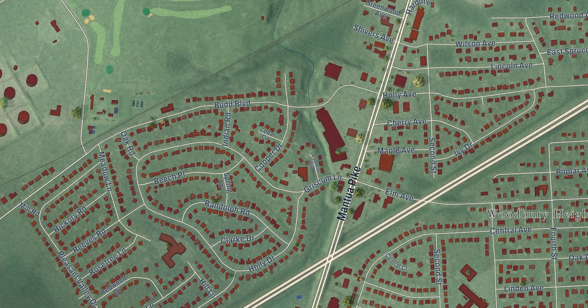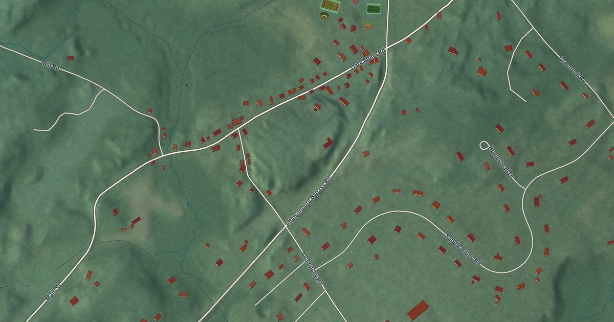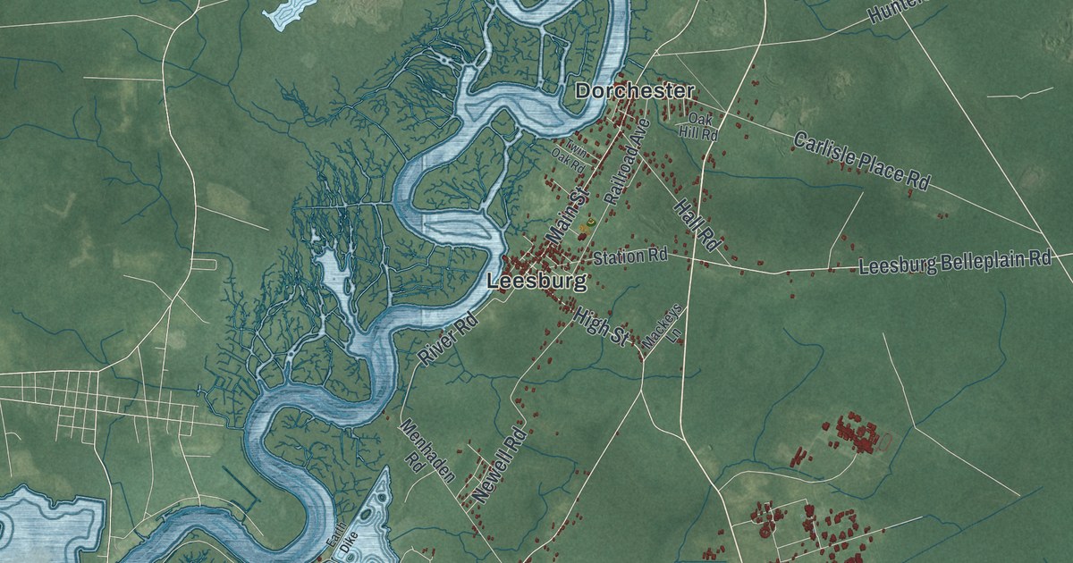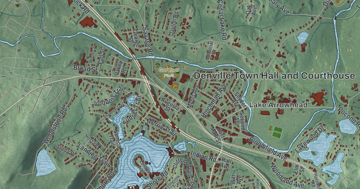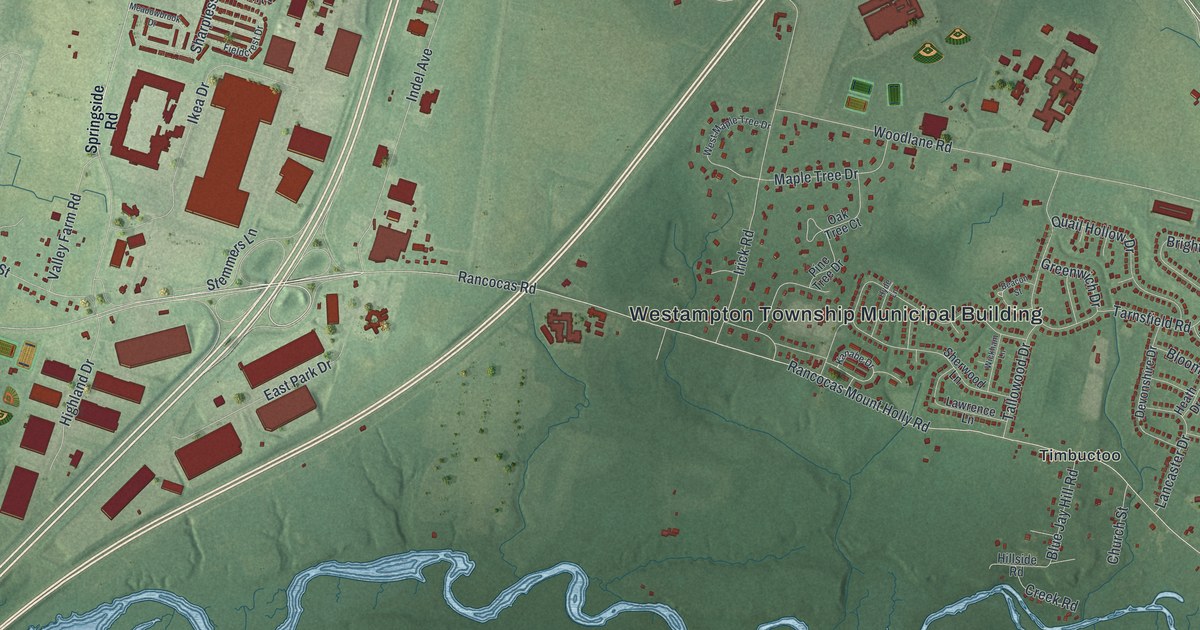
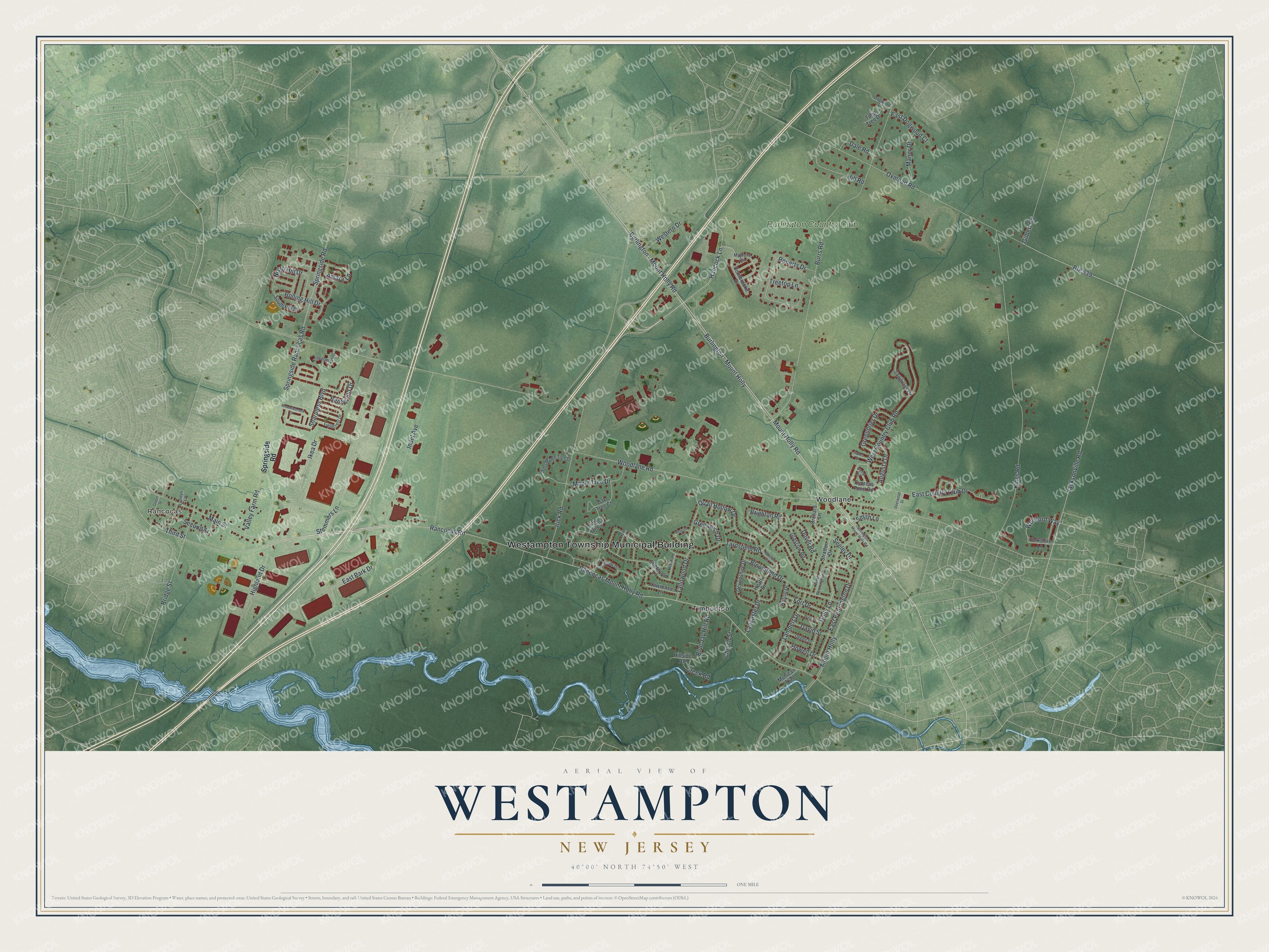
This beautifully detailed map of Westampton, New Jersey was created in 2026 using aerial imagery combined with modern topographical, census, street and landmark data. It’s a one-of-a-kind view of Westampton that combines accurate data with a vintage aesthetic. The map shows every building in its true location, many of the roads carry their names, and the shaded topographic relief shows the shape of the land.
Explore an aerial view of Westampton, New Jersey
On the map you’ll find Westampton Township Municipal Building, Burlington – Mount Holly, Rancocas, Timbuctoo, and Woodlane, along with Rancocas Mount Holly Road, Hancock Lane, Jacksonville Road, and more. If you look closely you can even find your house accurately drawn in its correct location. Zoom in on the preview to look for yours.
Did You Know?
Westampton was formed in 1850 from part of Northampton Township, now called Mount Holly. Its name comes from its place in the western end of the old township. In 1880 part of Westampton was taken to form Eastampton.
Take a closer look at the Westampton map
Names on this map
These names are printed on this map.
Places: Westampton Township Municipal Building, Rancocas, Timbuctoo, Woodlane and Burlington Country Club.
Streets and roads: Burlington - Mount Holly, Rancocas Mount Holly Road, Hancock Lane, Jacksonville Road, Dover Road, Rancocas Road, Welsford Way, Bridge Street, Rolling Hill Drive, Woodlane Road, Burrs Road, Irick Road.
More street names, A to Z
Amara Lane, Augusta Drive, Beacon Street, Bentwood Drive, Bloomfield Drive, Blue Jay Hill Road, Brighton Road, Burlington - Mount Holly Road, Burlington Mount Holly Road, Church Street, Creek Road, Cypress Point Road, Dale Road, David Street, Deerwood Drive, Devonshire Drive, Dogwood Drive, Doral Drive, Dunes Court, East Country Club Drive, East Dogwood Court, East Park Drive, East Pennington Drive, Fernbrooke Drive, Fieldcrest Drive, Fort Drive, Freedom Boulevard, Gilbert Road, Glascow Road, Greenbrier Drive, Green Street, Greenwich Drive, Heath Drive, Highland Drive, Hill Road, Hillside Road, Holly Lane, Howell Drive, Hyde Lane, Ikea Drive, Indel Avenue, Kanabe Drive, Kings Road, Lambert Drive, Lancaster Drive, Lawrence Lane, Lundys Lane, Main Street, Manor Drive, Maple Tree Drive, Mayfaire Circle, Meadowbrook Drive, Mohican Trail, Mount Holly, Mount Holly Road, North Hill Drive, Oak Tree Court, Ogden Drive, Orchard Lane, Oxmead Road, Pine Tree Drive, Price Drive, Quail Hollow Drive, Roberts Drive, Route 639, Russo Drive, Sawgrass Drive, Second Street, Seeley Drive, Sharpless Boulevard, Sherwood Lane, Smith Lane, South Hill Drive, Springside Rancocas Road, Springside Road, Stemmers Lane, Stratton Drive, Tallowood Drive, Tarnsfield Road, Third Street, Treetop Lane, Tulip Tree Drive, Valley Farm Road, West Country Club Road, Western Drive, West Maple Tree Drive, West Pennington Drive, Whitlow Drive, Wickham Lane, Yorkshire Lane.
See it on a wall
The Westampton map as an 18 x 24 inch print in a black frame.

This beautifully detailed map of Westampton makes an attractive addition to your office, library, or den, and it can even be used to teach children the geography and history of the area. It also makes a great gift for anyone with Westampton roots. When you’re done exploring, click here to get your copy of the Westampton map.