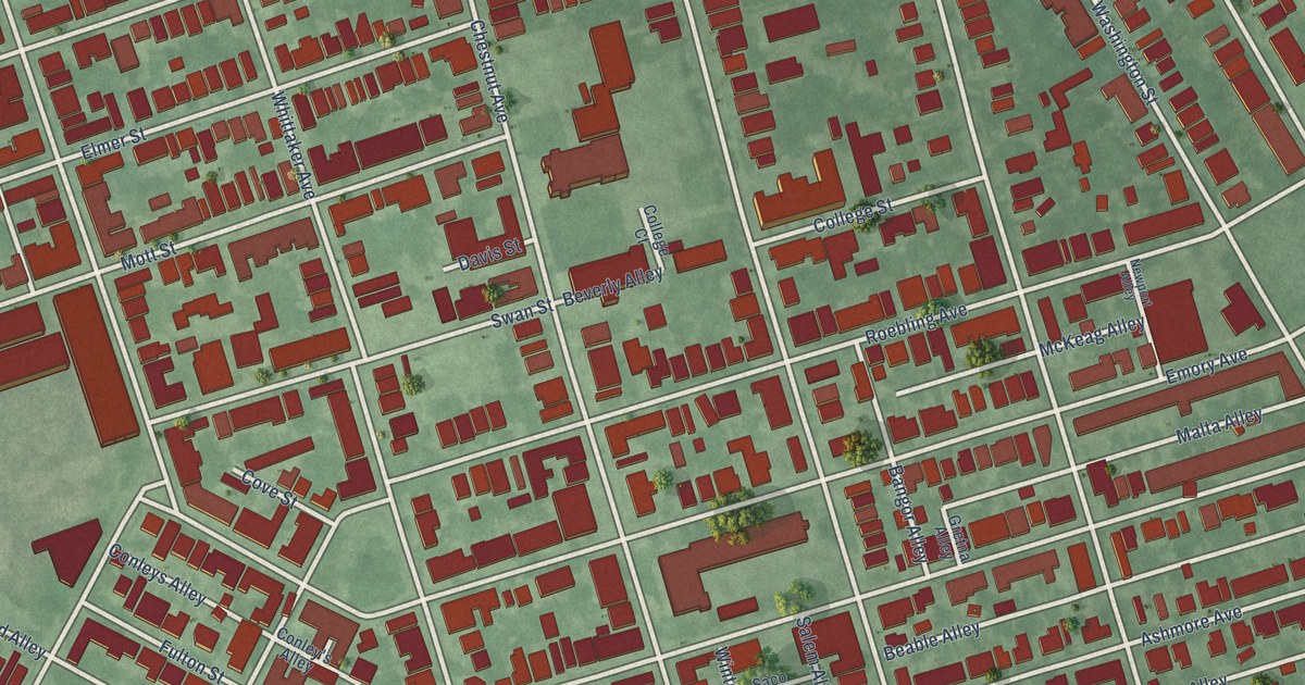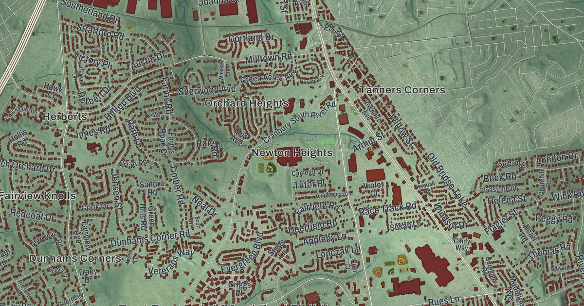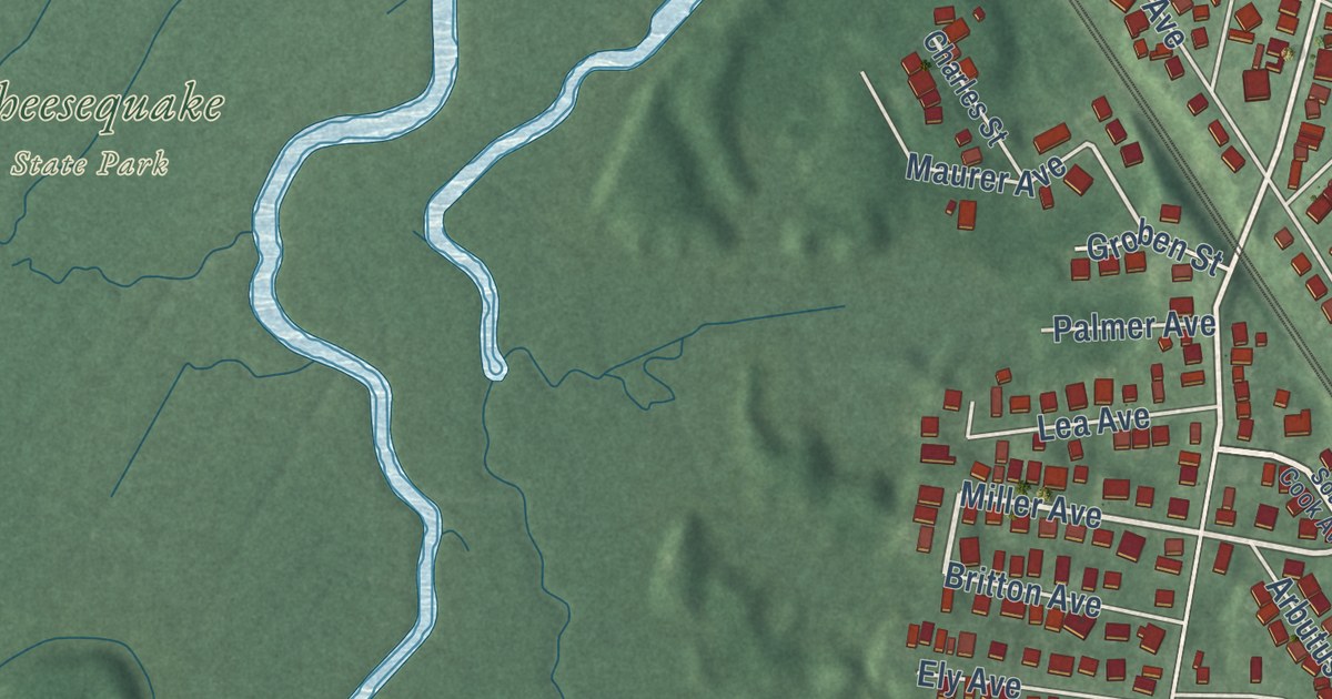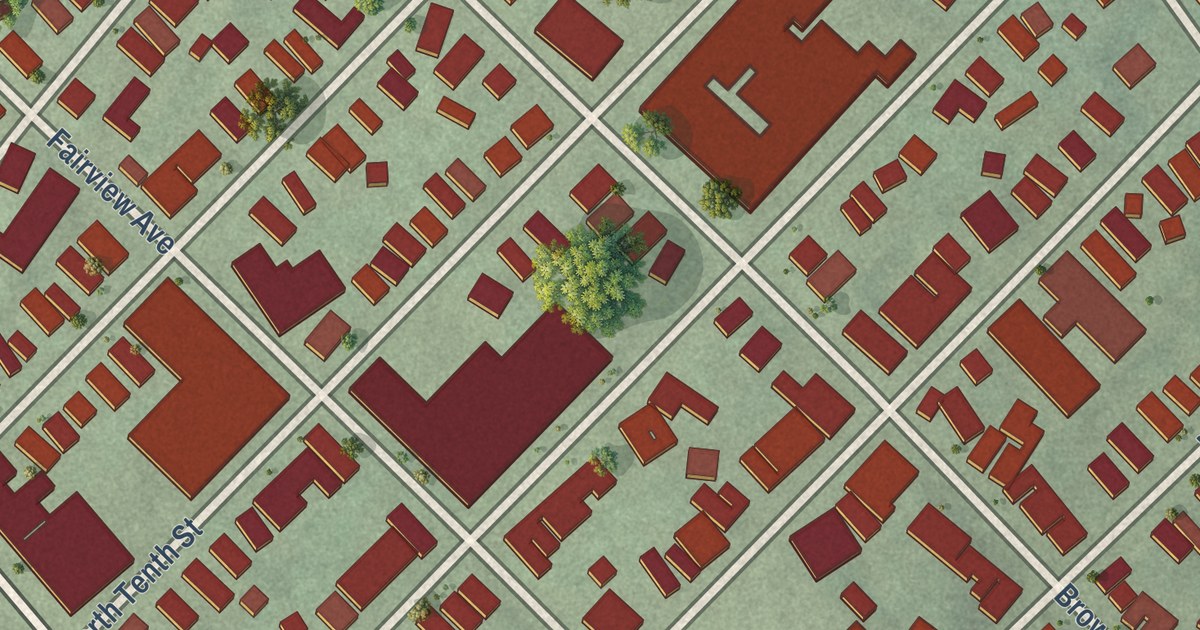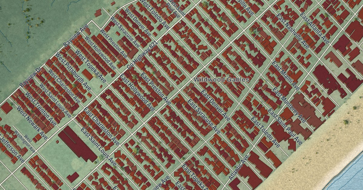
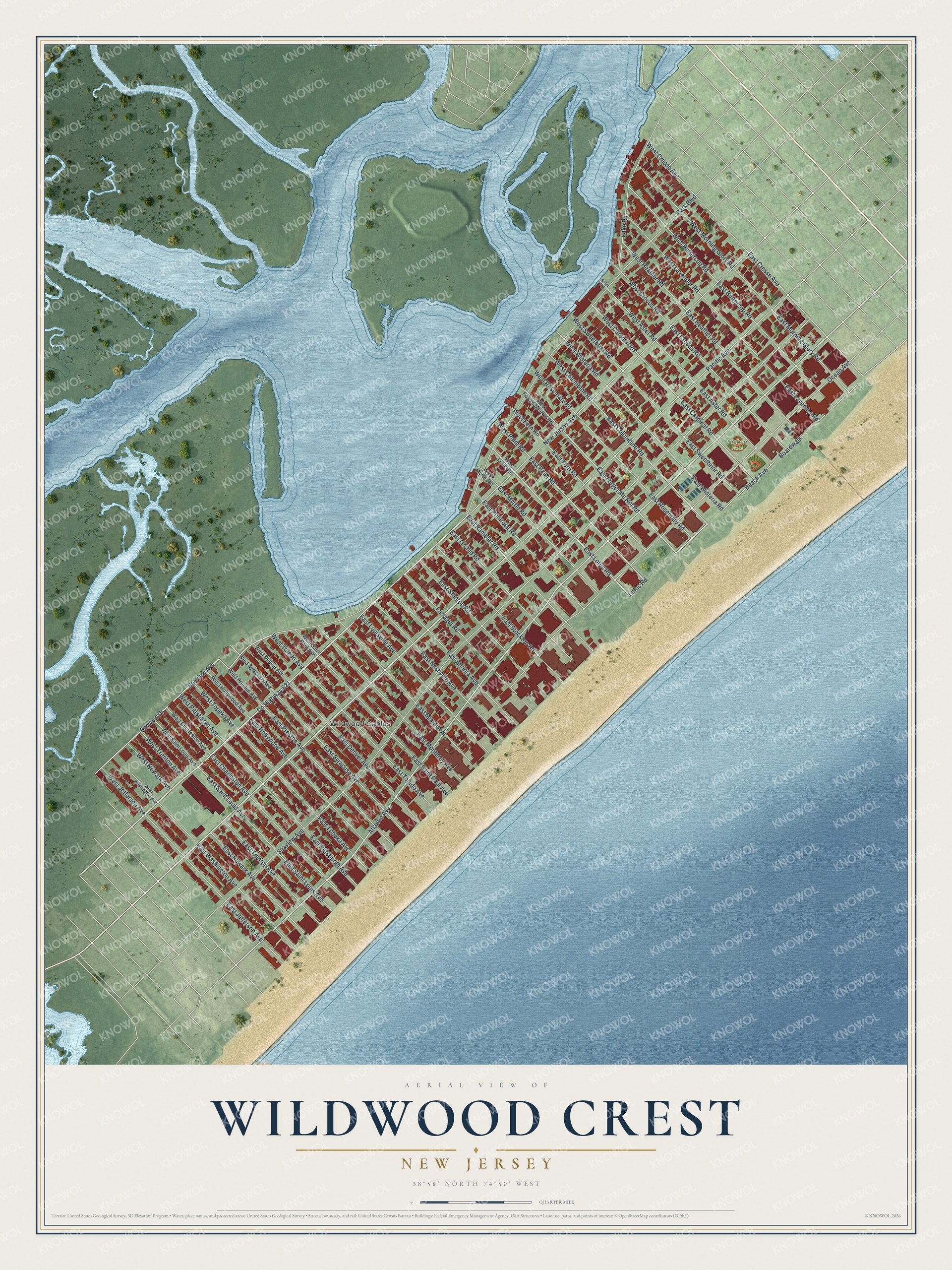
This beautifully detailed map of Wildwood Crest, New Jersey was created in 2026 using aerial imagery combined with modern topographical, census, street and landmark data. It’s a one-of-a-kind view of Wildwood Crest that combines accurate data with a vintage aesthetic. The map shows every building in its true location, many of the roads carry their names, and the shaded topographic relief shows the shape of the land.
Explore an aerial view of Wildwood Crest, New Jersey
On the map you’ll find Wildwood Gables, along with Lotus Road, Atlantic Avenue, Beach Avenue, Palm Road, Columbine Road, and more. If you look closely you can even find your house accurately drawn in its correct location. Zoom in on the preview to look for yours.
Did You Know?
Philip Baker first developed Wildwood Crest in the 1910s. He planned it as a southern extension of the Wildwood resort. The borough borrowed its name from Wildwood, which was named for the wild flowers of the area. The state legislature made it a borough in 1910.
Take a closer look at the Wildwood Crest map
Names on this map
These names are printed on this map.
Places: Wildwood Gables and Higbee Field.
Streets and roads: County Highway 621, Lotus Road, East Lotus Road, Atlantic Avenue, Beach Avenue, Boardwalk, East Palm Road, East Columbine Road, East Forget Me Not Road, Bayview Drive, East Cardinal Road, West Cardinal Road.
More street names, A to Z
Aster Road, Bayview Avenue, East Aster Road, East Atlanta Avenue, East Buttercup Road, East Charleston Avenue, East Cresse Avenue, East Crocus Road, East Denver Avenue, East Fern Road, East Heather Road, East Hollywood Avenue, East Jefferson Avenue, East Lavender Road, East Louisville Avenue, East Miami Avenue, East Monterey Avenue, East Morning Glory Road, East Myrtle Road, East Nashville Avenue, East Newark Avenue, East Orchid Road, East Pittsburgh Avenue, East Preston Avenue, East Primrose Road, East Rambler Road, East Rosemary Road, East Saint Louis Avenue, East Saint Paul Avenue, East Stanton Road, East Stockton Road, East Sweetbriar Road, East Syracuse Avenue, East Toledo Avenue, East Topeka Avenue, East Trenton Avenue, East Washington Avenue, East Wisteria Road, Farragut Road, Lake Road, New Jersey Avenue, Ocean Avenue, Pacific Avenue, Park Boulevard, Seaview Avenue, West Aster Road, West Buttercup Road, West Charleston Avenue, West Columbine Road, West Cresse Avenue, West Crocus Road, West Denver Avenue, West Fern Road, West Forget-Me-Not Road, West Heather Road, West Hollywood Avenue, West Jefferson Avenue, West Lavender Road, West Lotus Road, West Morning Glory Road, West Myrtle Road, West Newark Avenue, West Palm Road, West Pittsburgh Avenue, West Preston Avenue, West Rosemary Road, West Saint Louis Avenue, West Saint Paul Avenue, West Sweetbriar Road, West Syracuse Avenue, West Toledo Avenue, West Topeka Avenue, West Trenton Avenue, West Washington Avenue, West Wisteria Road.
See it on a wall
The Wildwood Crest map as an 18 x 24 inch print in a black frame.

This beautifully detailed map of Wildwood Crest makes an attractive addition to your office, library, or den, and it can even be used to teach children the geography and history of the area. It also makes a great gift for anyone who grew up in Wildwood Crest or moved away. When you’re done exploring, click here to get your copy of the Wildwood Crest map.