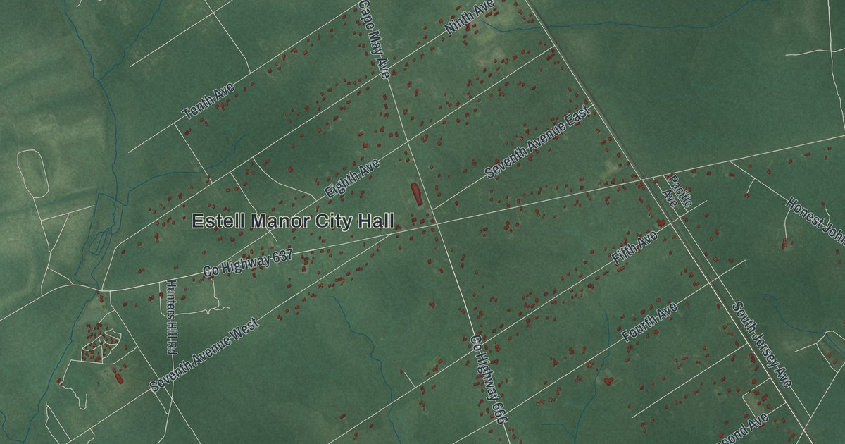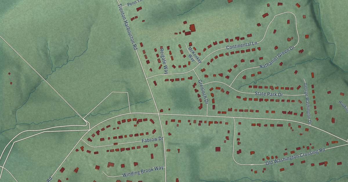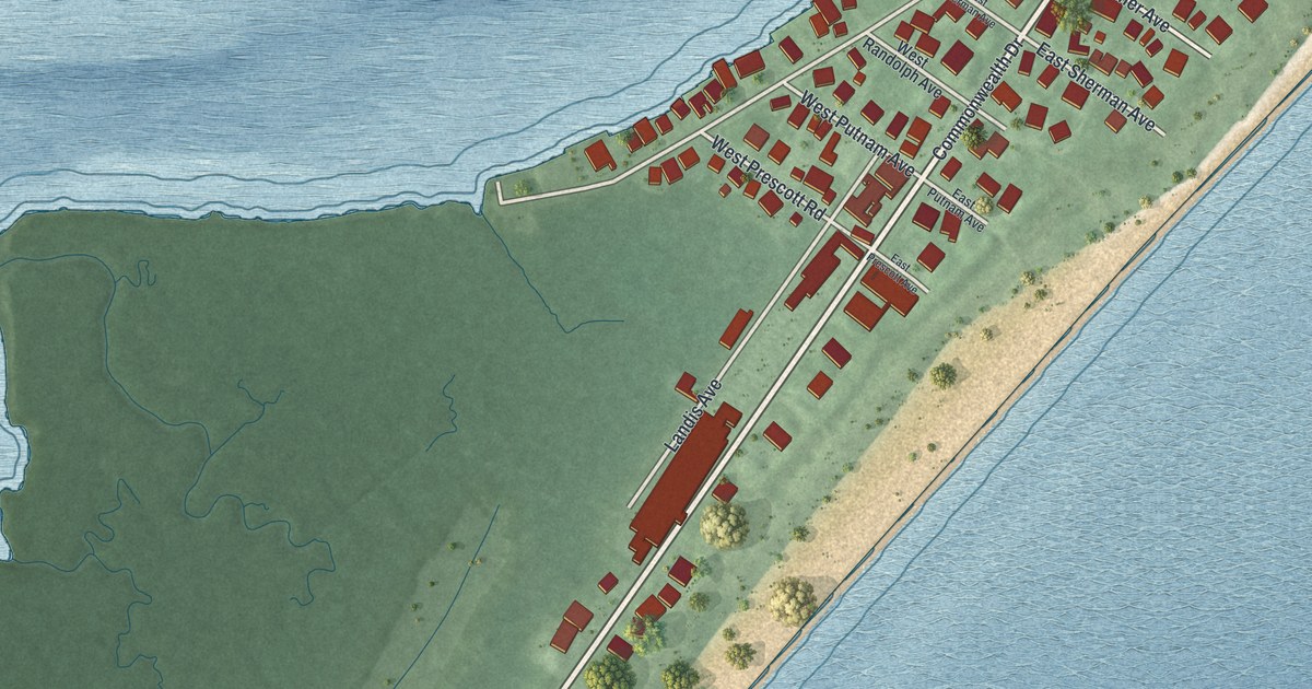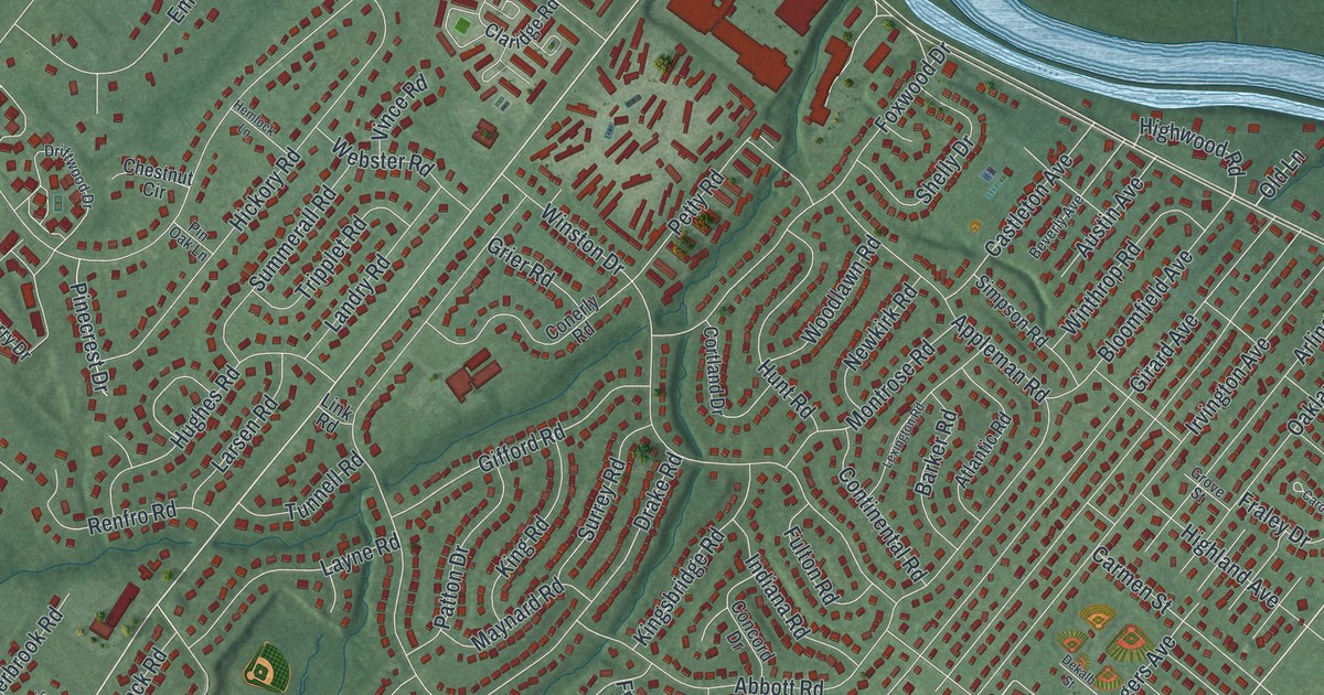
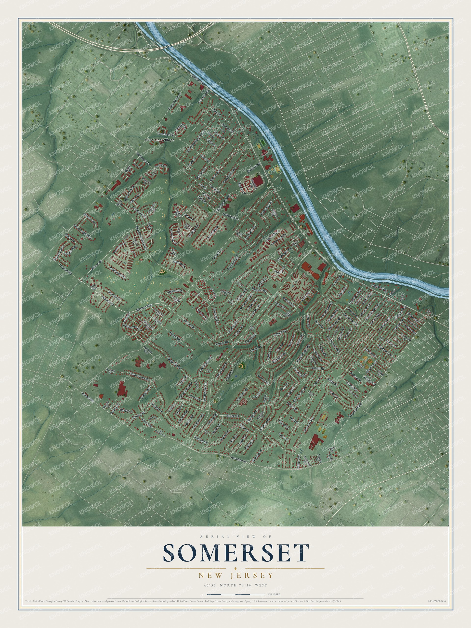
This beautifully detailed map of Somerset, New Jersey was created in 2026 using aerial imagery combined with modern topographical, census, street and landmark data. It’s a one-of-a-kind view of Somerset that combines accurate data with a vintage aesthetic. The map shows every building in its true location, many of the roads carry their names, and the shaded topographic relief shows the shape of the land.
Explore an aerial view of Somerset, New Jersey
On the map you’ll find Ukrainian Village, along with Martino Drive, Martino Way, Glastonbury Lane, Willow Avenue, Franklin Boulevard, and more. If you look closely you can even find your house accurately drawn in its correct location. Zoom in on the preview to look for yours.
Did You Know?
In 1913 Somerset gained one of the earliest Marconi wireless stations in America. The Navy took it over in 1917 for World War I. It became the main wartime radio link to Europe. In 1918 it sent out President Woodrow Wilson’s Fourteen Points speech.
Take a closer look at the Somerset map
Names on this map
These names are printed on this map.
Places: Ukrainian Village.
Streets and roads: Martino Drive, Martino Way, Glastonbury Lane, Willow Avenue, Franklin Boulevard, Berger Street, Easton Avenue, Demott Lane, New Brunswick Road, Cedar Grove Lane, Hamilton Street, Girard Avenue.
More street names, A to Z
13th Street, 14th Street, 15th Street, Abbey Drive, Abbott Road, Academy Road, Aldeburgh Avenue, Almond Drive, Alton Drive, Amwell Road, Appleman Road, Arden Street, Arlington Avenue, Arthur Avenue, Atlantic Road, Austin Avenue, Avebury Place, Azalea Lane, Barclay Court, Barker Road, Barron Circle, Bartle Road, Bayberry Drive, Bedford Road, Belmar Street, Berry Street, Beverly Avenue, Blake Avenue, Bloomfield Avenue, Bolton Court, Boulder Lane, Briarwood Drive, Bristol Boulevard, Buckingham Way, Burnham Street, Buttonwood Drive, Carmen Street, Carol Court, Castleton Avenue, Cedar Brook Drive, Challenger Road, Chestnut Circle, Claridge Road, Clifton Street, Clinton Street, Colony Court, Concord Drive, Conerly Road, Continental Road, Cortland Drive, Culver Street, Cypress Road, Dahlia Road, Darlington Boulevard, Dayton Avenue, Deerfield Road, Dekalb Street, Dellwood Lane, Denbigh Drive, Dennett Road, Dickens Court, Drake Road, Driftwood Drive, Driscoll Court, Dutton Street, Easton North Drive, Ellison Road, Emerson Road, Eton Way, Evergreen Road, Fairfield Road, Farrell Street, Fifth Street, First Street, Flower Road, Fourth Street, Foxwood Drive, Fraley Drive, Francis Street, Freeman Road, Freemont Court, Fulton Road, Gates Road, Gifford Road, Gold Street, Grantham Drive, Grier Road, Grove Street, Hadler Drive, Harrow Drive, Haworth Place, Heather Drive, Heinrich Road, Hemlock Lane, Henley Drive, Hexham Drive, Hickory Road, Highland Avenue, Highwood Road, Hill Avenue, Hillcrest Avenue, Holly Street, Hollywood Avenue, Hughes Road, Hunt Road, Hyde Park Road, Indiana Road, Iris Court, Irvington Avenue, Jarvis Place, John East Busch Avenue, Johnson Road, Julip Court, King Road, Kingsbridge Road, Kuhn Street, Lake Avenue, Lakeside Road, Landry Road, Larsen Road, Lawndale Drive, Layne Road, Lebed Drive, Lenox Place, Leupp Lane, Levinson Boulevard, Lewis Street, Lexington Road, Liberty Lane, Lilac Lane, Link Road, London Place, Luton Way, Lyndhurst Drive, Macafee Road, Magnolia Road, Marigold Lane, Matlook Place, Maynard Road, Meade Court, Monet Court, Montrose Road, Neptune Court, Neuville Drive, Newkirk Road, Newton Court, Ninth Street, Norris Road, Oakcroft Lane, Oakland Avenue, Old Hamilton Street, Old Lane, Orchid Court, Oswestry Way, Overbrook Road, Patton Drive, Petty Road, Picadilly Place, Pinecrest Drive, Pin Oak Lane, Radio Court, Renfro Road, Renoir Way, Rieder Court, Rogers Avenue, Rolling Road, Rue Cezanne, Rue Chagall, Runyon Avenue, Russett Road, Scaletti Court, Sebring Road, Second Street, Seelys Run, Shelly Drive, Shilling Drive, Simpson Road, Sixth Street, Smithwold Road, Spring Street, Stone Leigh Way, Stratford Drive, Summerall Road, Sunnyvale Court, Sunnyvale Drive, Surrey Road, Sweetbriar Road, Tall Oaks Road, Tamarack Road, Terry Terrace, Third Street, Tintern Court, Treptow Road, Tripplet Road, Tunnell Road, Twelfth Street, Vanderbilt Avenue, Viking Avenue, Vince Road, Waldorf Street, Walnut Avenue, Warren Street, Webster Road, Wells Road, Wembley Way, West Lake Court, West Point Avenue, Wexford Way, Wheeler Place, Wilson Road, Winchester Way, Winston Drive, Winthrop Road, Woodlawn Road.
See it on a wall
The Somerset map as an 18 x 24 inch print in a black frame.

This beautifully detailed map of Somerset makes an attractive addition to your office, library, or den, and it can even be used to teach children the geography and history of the area. It also makes a great gift for anyone who grew up in Somerset or moved away. When you’re done exploring, click here to get your copy of the Somerset map.